Elevation of Irish Hl, Mountain Home, AR, USA
Location: United States > Arkansas > Baxter County > Mill Township >
Longitude: -92.301871
Latitude: 36.378692
Elevation: 221m / 725feet
Barometric Pressure: 99KPa
Elevation Map:
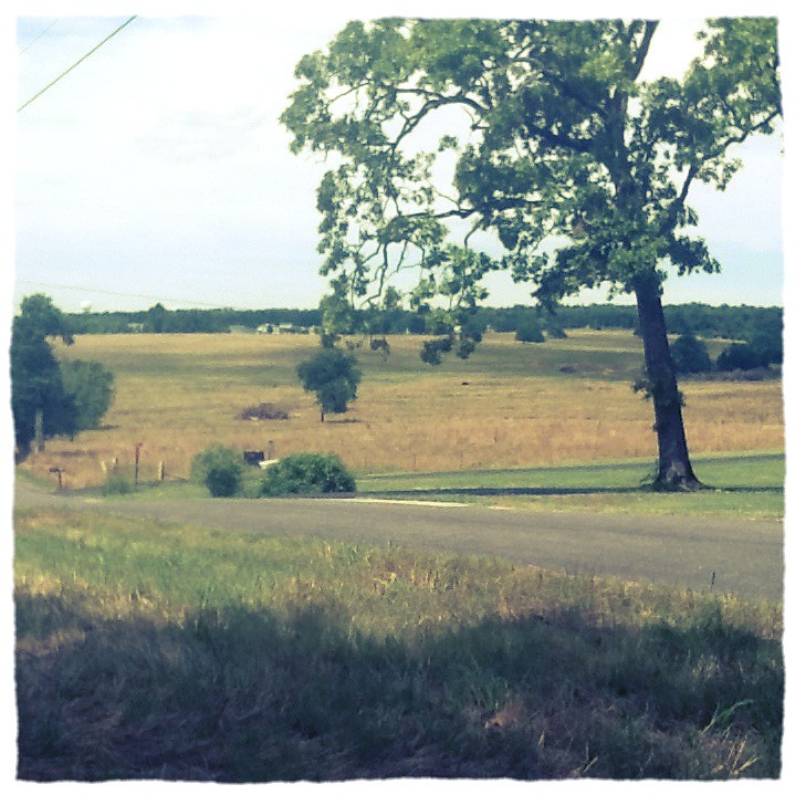
Satellite Map:
Related Photos:

Listen to the Trees

Riverfront fixer-upper with a view.
pigeon creek view

view from the photo stage

Untitled_HDR8-2-Edit.jpg

Listen to the Trees. No. 3 (infrared fun)

Sunlight Through the Trees

Merry Christmas from Arkansas

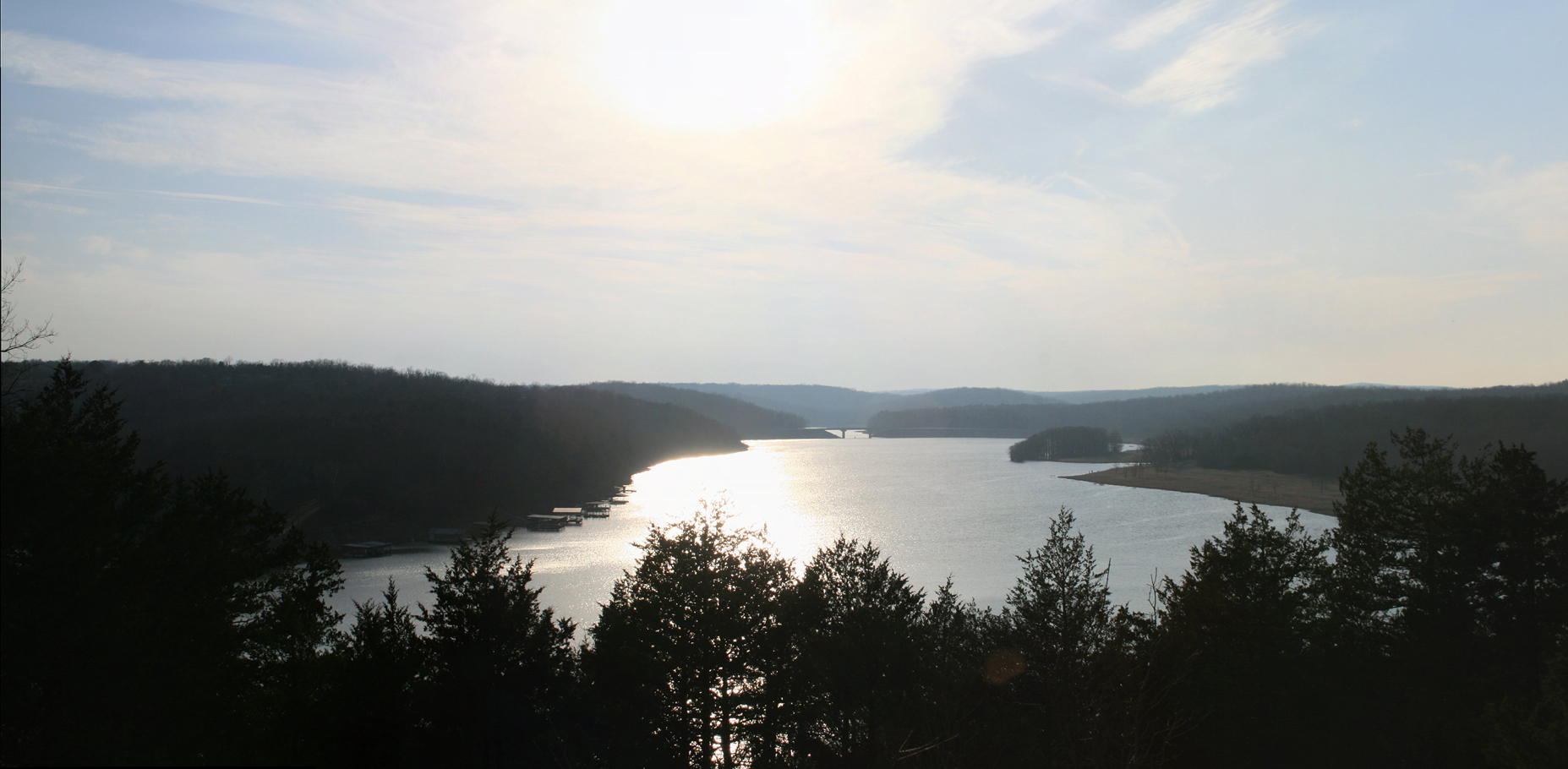
Pier on Lake Norfork

Crossing Norfork Lake

Norfork Dam-Arkansas
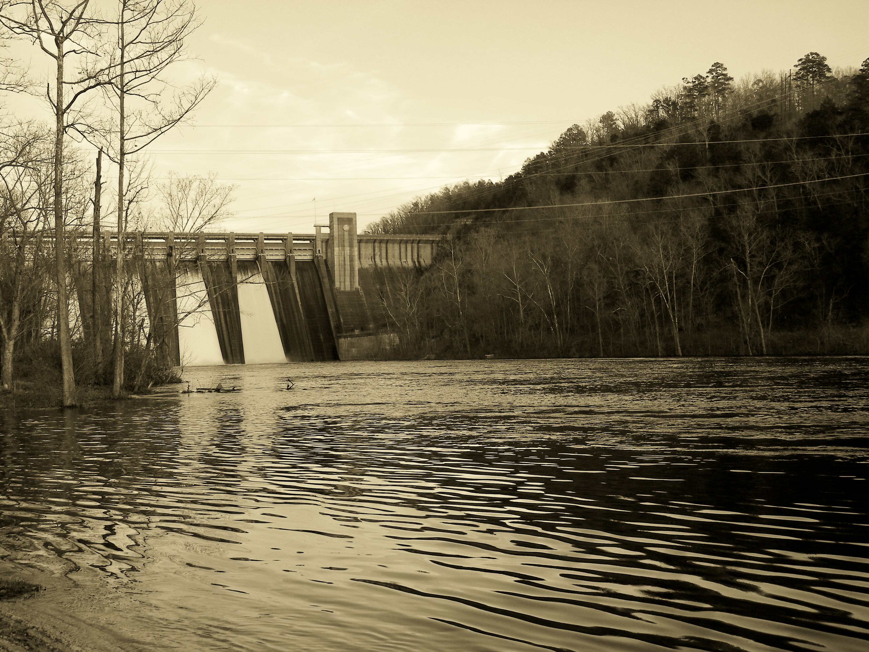
Norfork Dam-Arkansas

Rock Makes Splash 2

Rock Makes Splash 1
Norfork Dam-Arkansas

Thanksgiving Sunrise #2

Norfork Dam-Arkansas

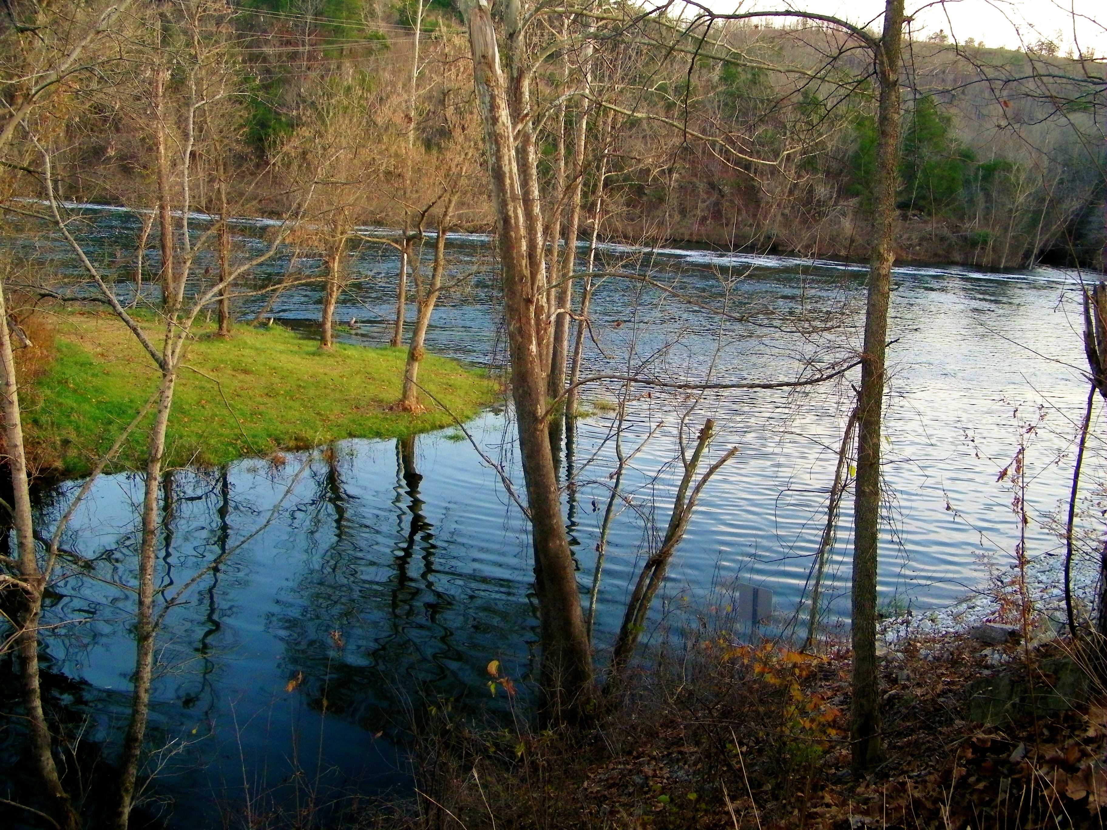
Peaceful Stream

Another Excellent Spot

Stopping for a Smile
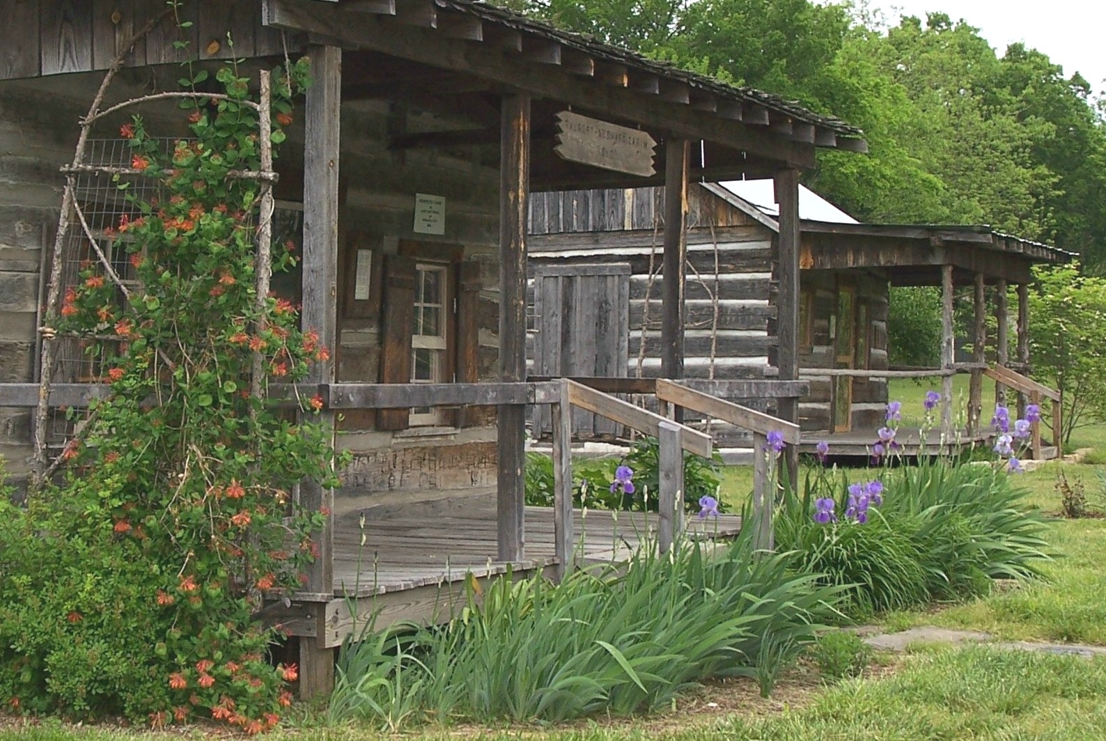
Rapps Barren Settlement

Norfork Dam-Arkansas
Mountain Home, AR
Topographic Map of Irish Hl, Mountain Home, AR, USA
Find elevation by address:

Places near Irish Hl, Mountain Home, AR, USA:
Dogwood Park
Mallard Run Drive
9 Mallard Run Dr
9 Mallard Run Dr
9 Mallard Run Dr
9 Mallard Run Dr
Buzzard Roost Boat Dock
1044 Ar-101
1044 Ar-101
1044 Ar-101
1044 Ar-101
349 Forest Hills Dr
Mountain Home Township
1107 Hwy 62 E
Sun Valley Cinema
Henderson
Highway 62 East
Baxter Crematory
407 Co Rd 25
217 Oak Summit Dr
Recent Searches:
- Elevation of Corso Fratelli Cairoli, 35, Macerata MC, Italy
- Elevation of Tallevast Rd, Sarasota, FL, USA
- Elevation of 4th St E, Sonoma, CA, USA
- Elevation of Black Hollow Rd, Pennsdale, PA, USA
- Elevation of Oakland Ave, Williamsport, PA, USA
- Elevation of Pedrógão Grande, Portugal
- Elevation of Klee Dr, Martinsburg, WV, USA
- Elevation of Via Roma, Pieranica CR, Italy
- Elevation of Tavkvetili Mountain, Georgia
- Elevation of Hartfords Bluff Cir, Mt Pleasant, SC, USA