Elevation of Bucknum Rd, Casper, WY, USA
Location: United States > Wyoming > Natrona County > Casper >
Longitude: -106.62887
Latitude: 43.021513
Elevation: 1658m / 5440feet
Barometric Pressure: 83KPa
Elevation Map:
Satellite Map:
Related Photos:
IMG_0104 (2)
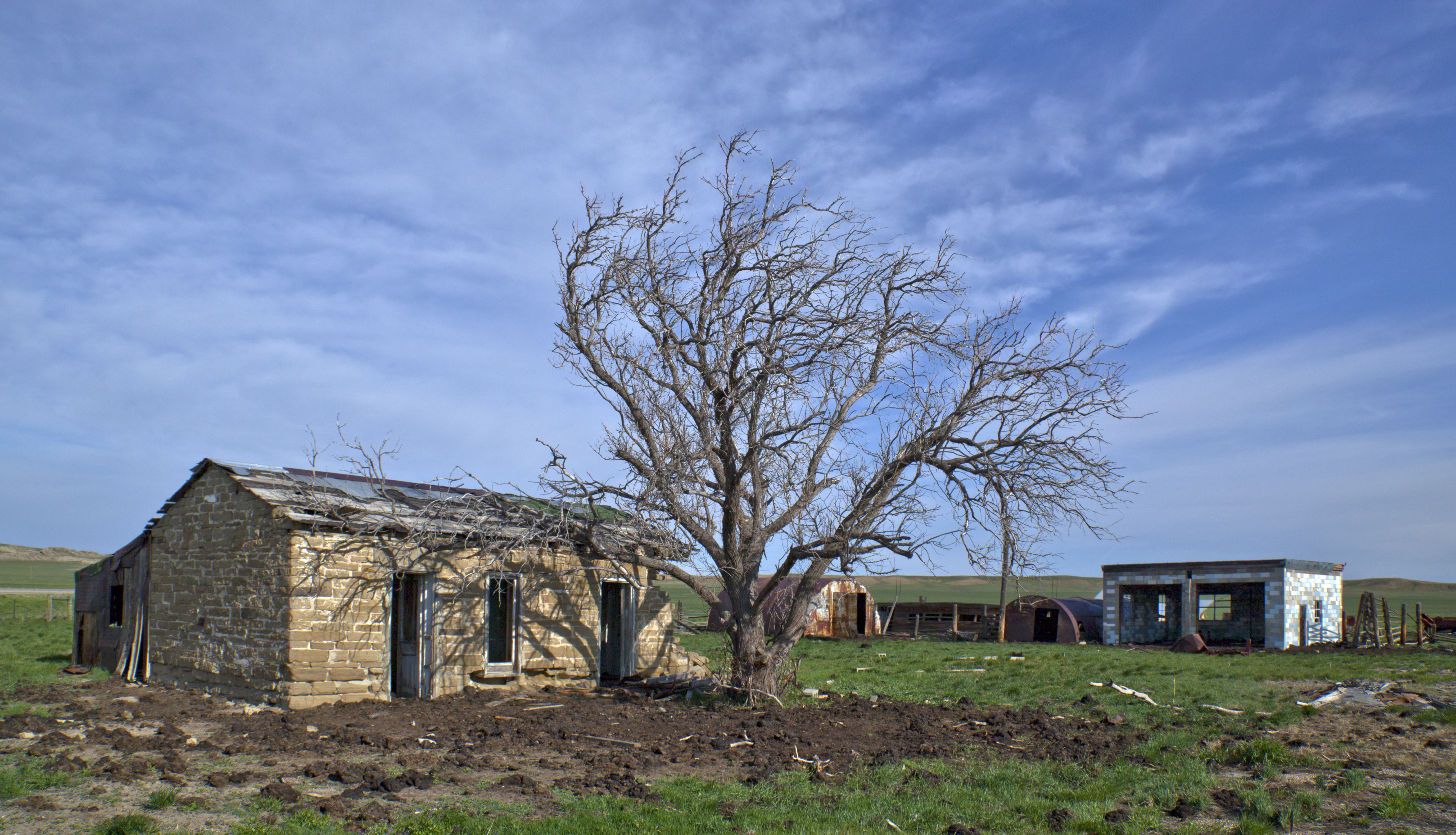
Stone Ranch Stage Station- Natrona County WY (1)

IMG_0087 (2)

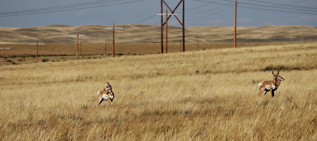
High Stepping
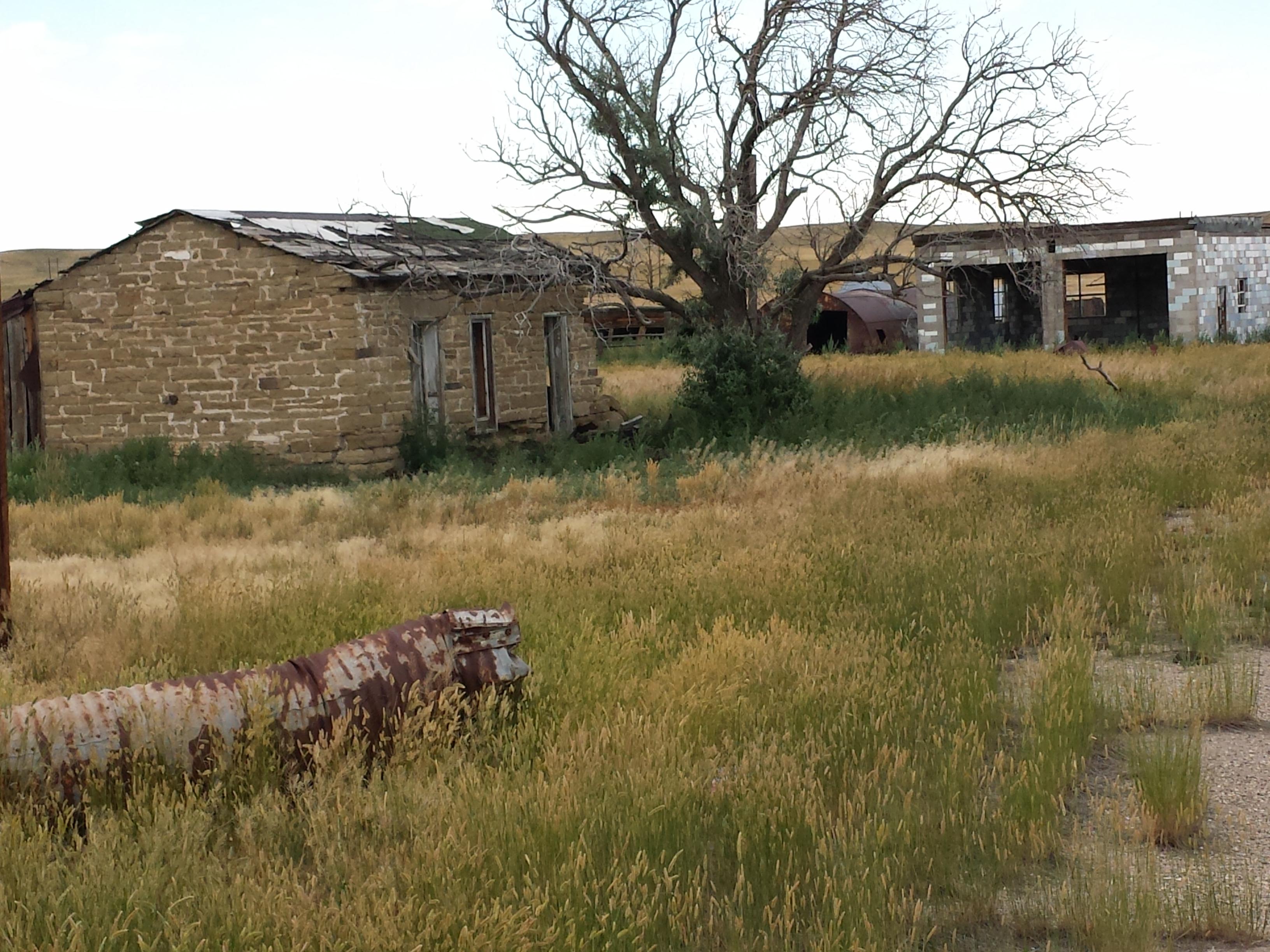
Dec 6 2013 - Natrona County house remnants
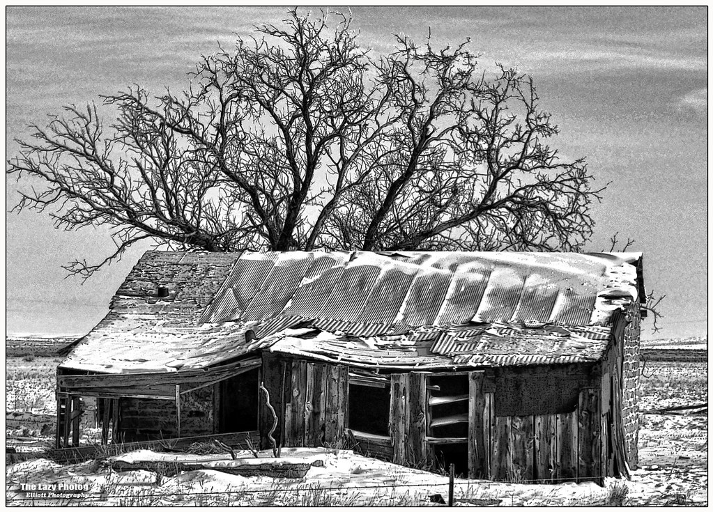
the Stone Ranch
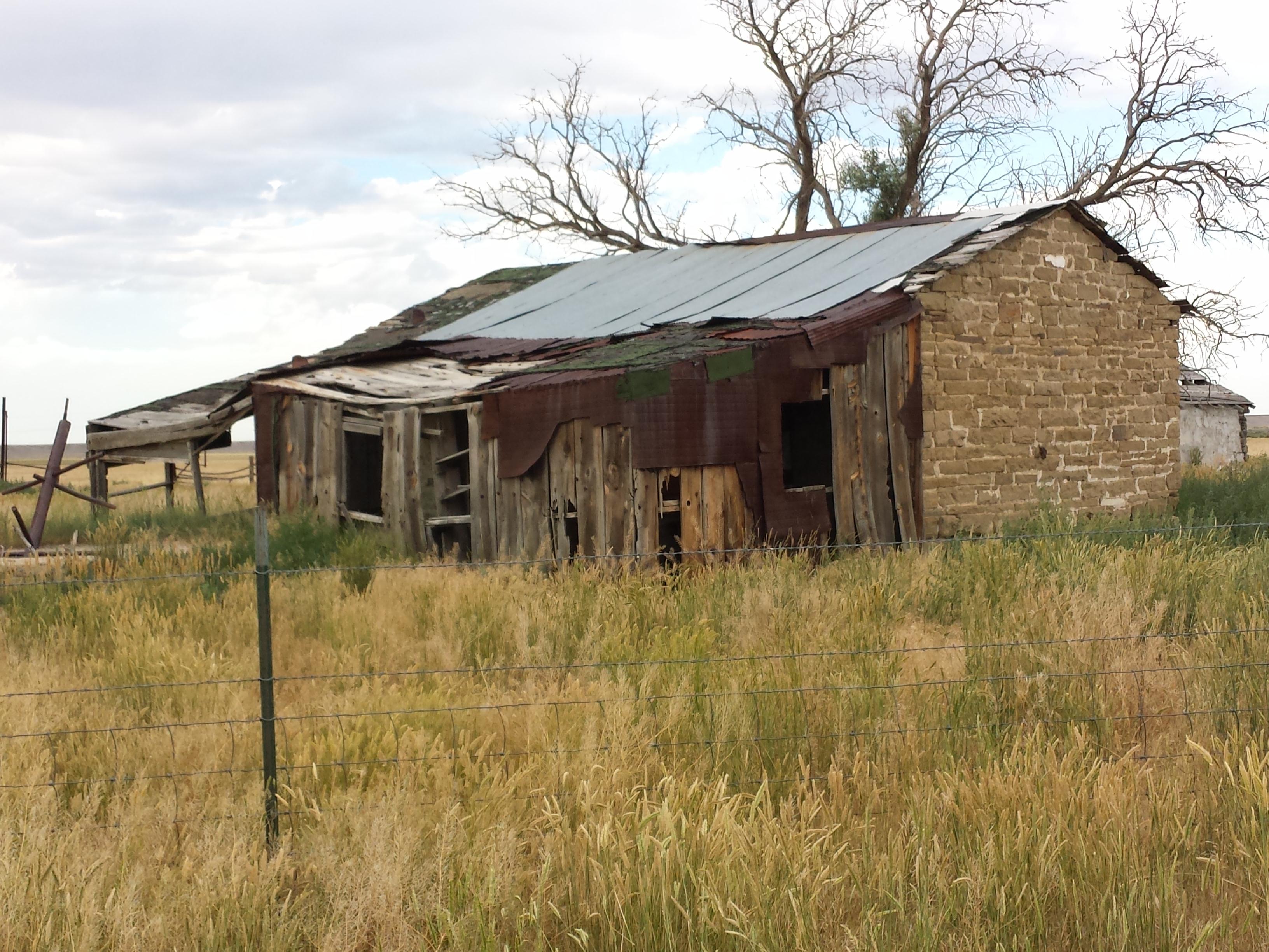
Stone Ranch Stage Station- Natrona County WY (3)
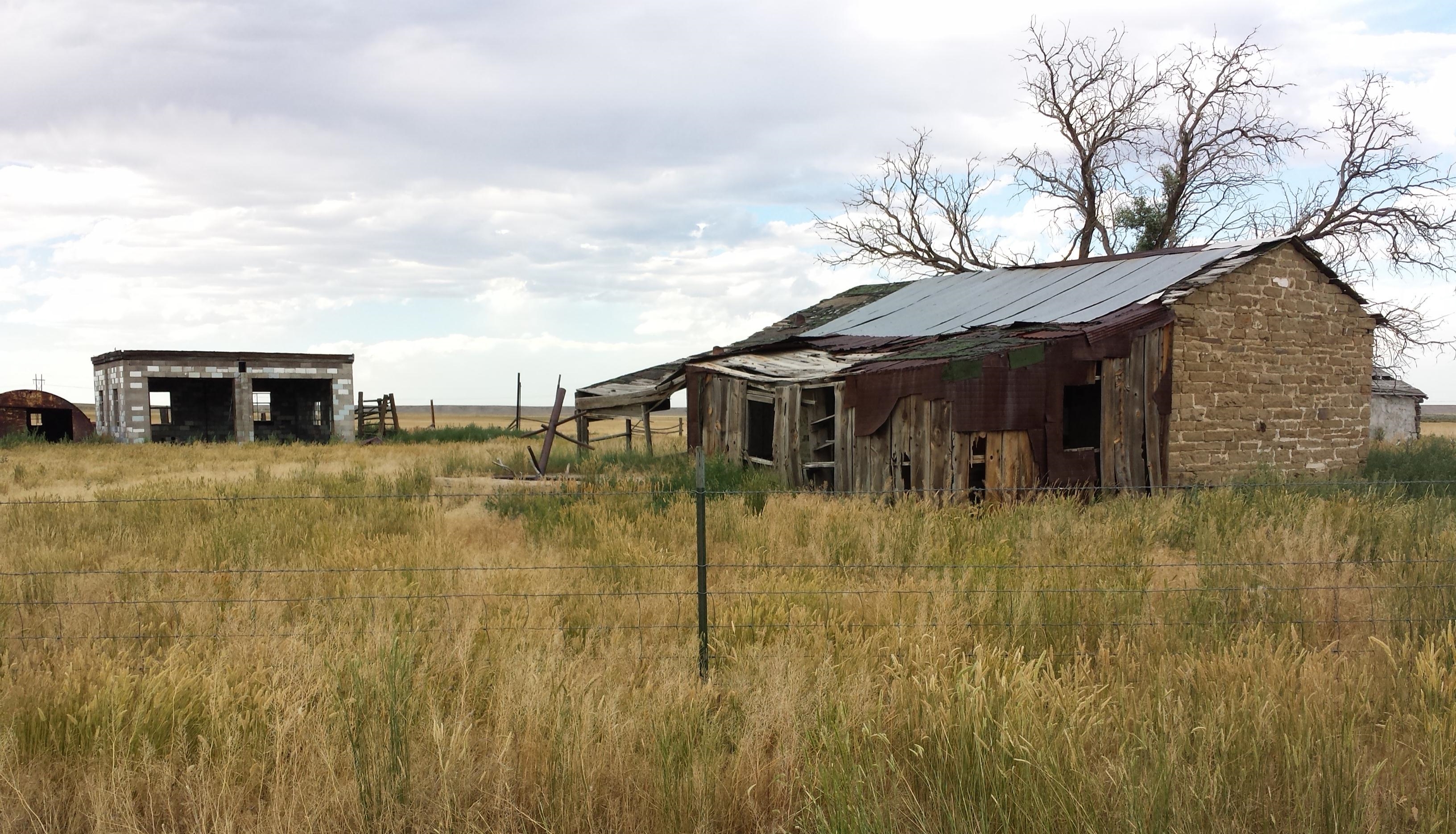
Stone Ranch Stage Station- Natrona County WY (4)

American Avocet

American Avocet

Goldeneye Sunrise

Least Sandpiper
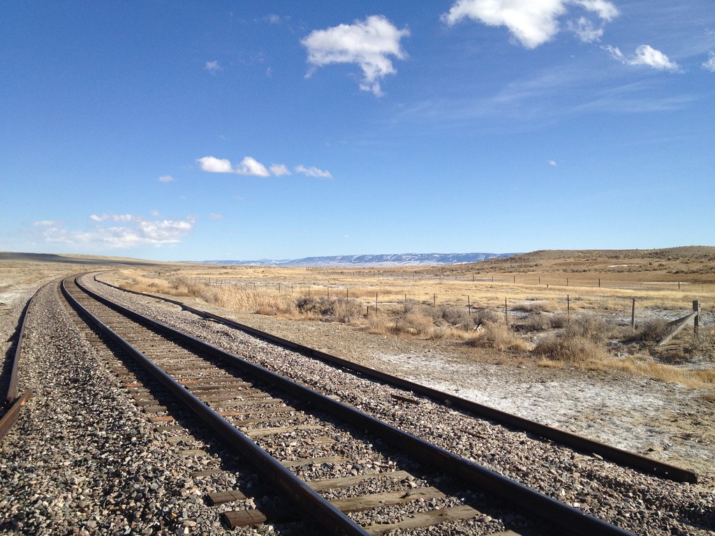
BNSF at 33 Mile Road
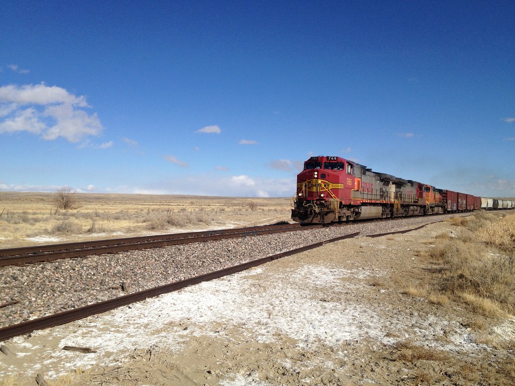
BNSF at 33 Mile Road
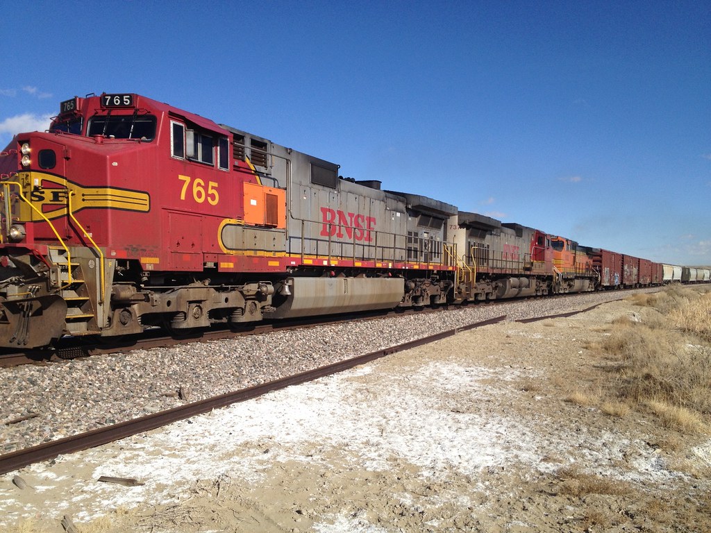
BNSF at 33 Mile Road

in it
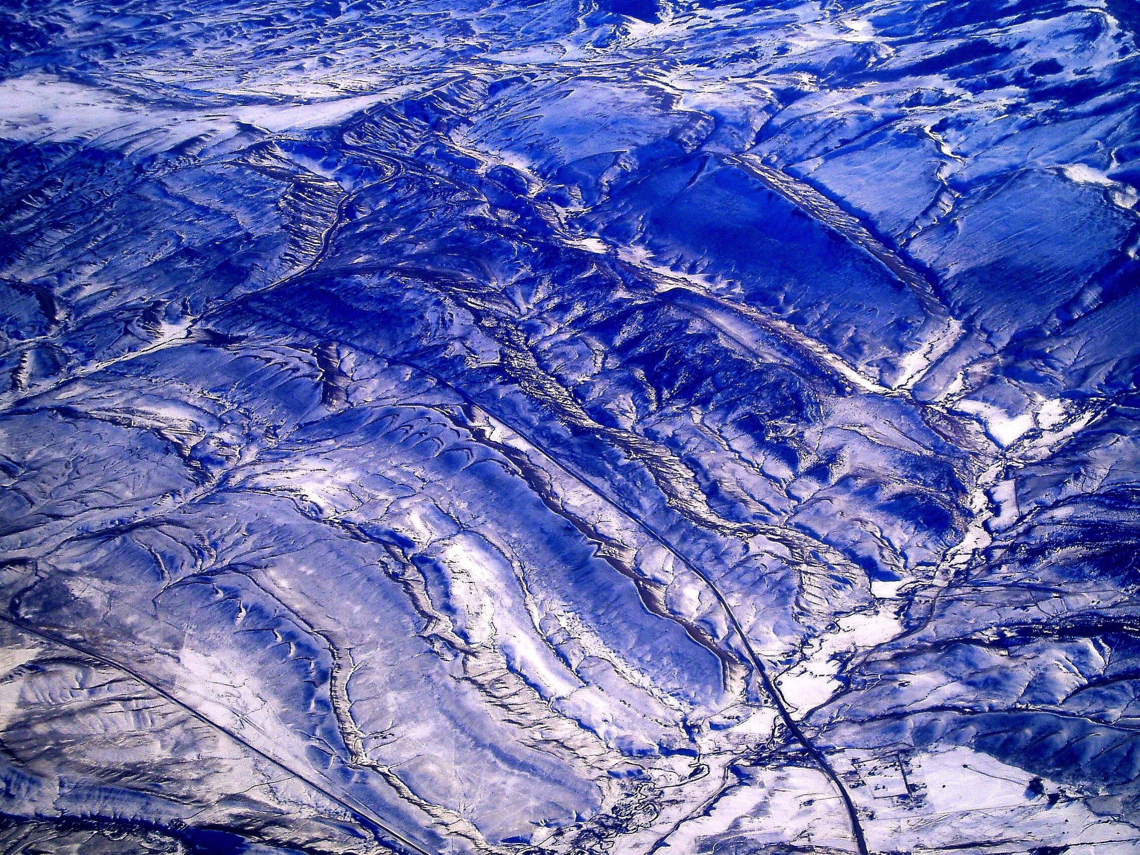
From the Air
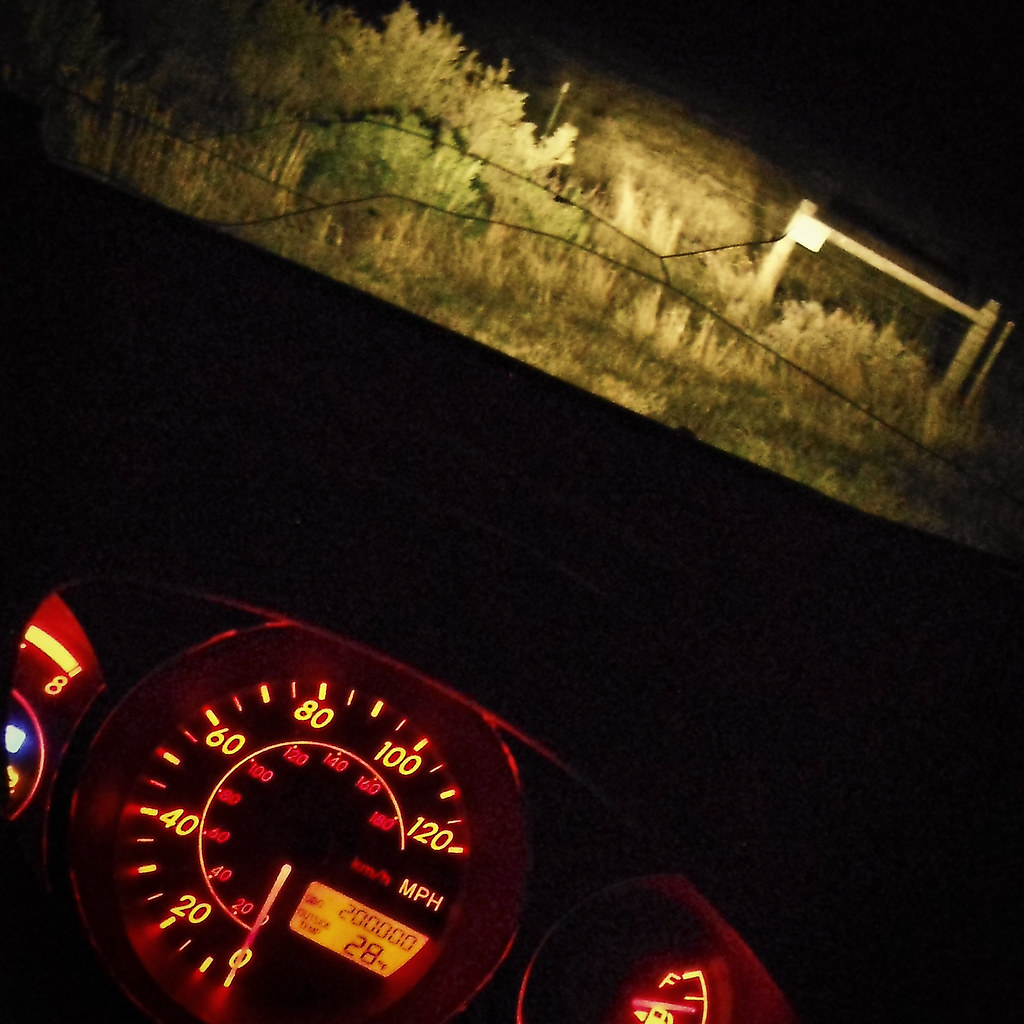
The Vibe turning 200,000 miles old @ 4:28am in the middle of nowhere Wyoming
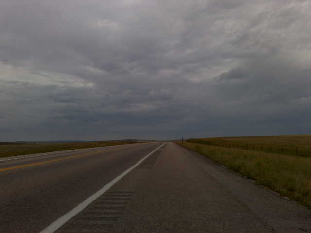
Blue Steel took a picture!
Blue Steel took a picture!
Topographic Map of Bucknum Rd, Casper, WY, USA
Find elevation by address:

Places near Bucknum Rd, Casper, WY, USA:
W Yellowstone Hwy, Casper, WY, USA
996 Jc Rd
Homa Hills Rd, Casper, WY, USA
5300 Old Yellowstone Hwy
El Rio Rd, Casper, WY, USA
5138 W Yellowstone Hwy
6493 Cherokee Ln
6085 River Park Dr
Shetland Rd, Casper, WY, USA
6402 Brandt Rd
6402 Brandt Rd
1820 Sunset Blvd
260 Delmar St #3
Primrose St, Casper, WY, USA
Bar Nunn
Antelope Hills
Salt Creek Hwy, Casper, WY, USA
Prairie Dog Dr, Bar Nunn, WY, USA
Mills
2570 Casper St
Recent Searches:
- Elevation of Corso Fratelli Cairoli, 35, Macerata MC, Italy
- Elevation of Tallevast Rd, Sarasota, FL, USA
- Elevation of 4th St E, Sonoma, CA, USA
- Elevation of Black Hollow Rd, Pennsdale, PA, USA
- Elevation of Oakland Ave, Williamsport, PA, USA
- Elevation of Pedrógão Grande, Portugal
- Elevation of Klee Dr, Martinsburg, WV, USA
- Elevation of Via Roma, Pieranica CR, Italy
- Elevation of Tavkvetili Mountain, Georgia
- Elevation of Hartfords Bluff Cir, Mt Pleasant, SC, USA