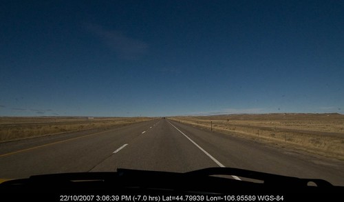
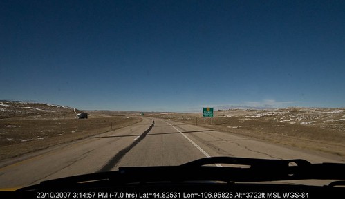
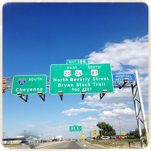
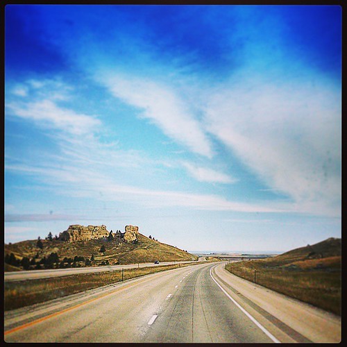
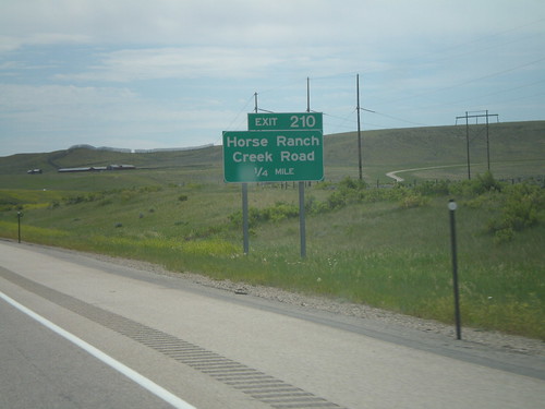
Elevation of Prairie Dog Dr, Bar Nunn, WY, USA
Location: United States > Wyoming > Natrona County > Antelope Hills >
Longitude: -106.3228
Latitude: 43.080839
Elevation: 1737m / 5699feet
Barometric Pressure: 82KPa
Related Photos:
Topographic Map of Prairie Dog Dr, Bar Nunn, WY, USA
Find elevation by address:

Places near Prairie Dog Dr, Bar Nunn, WY, USA:
Antelope Hills
Homa Hills Rd, Casper, WY, USA
Bar Nunn
1820 Sunset Blvd
Salt Creek Hwy, Casper, WY, USA
1 Events Dr
Casper
Pantheon
Copperhead Drive
803 N Durbin St
5345 Copperhead Dr
Evansville
W Yellowstone Hwy, Casper, WY, USA
144 S Center St
5300 Old Yellowstone Hwy
5138 W Yellowstone Hwy
5200 E Yellowstone Hwy
996 Jc Rd
Brookhurst
260 Delmar St #3
Recent Searches:
- Elevation of Corso Fratelli Cairoli, 35, Macerata MC, Italy
- Elevation of Tallevast Rd, Sarasota, FL, USA
- Elevation of 4th St E, Sonoma, CA, USA
- Elevation of Black Hollow Rd, Pennsdale, PA, USA
- Elevation of Oakland Ave, Williamsport, PA, USA
- Elevation of Pedrógão Grande, Portugal
- Elevation of Klee Dr, Martinsburg, WV, USA
- Elevation of Via Roma, Pieranica CR, Italy
- Elevation of Tavkvetili Mountain, Georgia
- Elevation of Hartfords Bluff Cir, Mt Pleasant, SC, USA
