Elevation of Brookston, MN, USA
Location: United States > Minnesota > St. Louis County >
Longitude: -92.603803
Latitude: 46.8677203
Elevation: 375m / 1230feet
Barometric Pressure: 97KPa
Elevation Map:
Satellite Map:
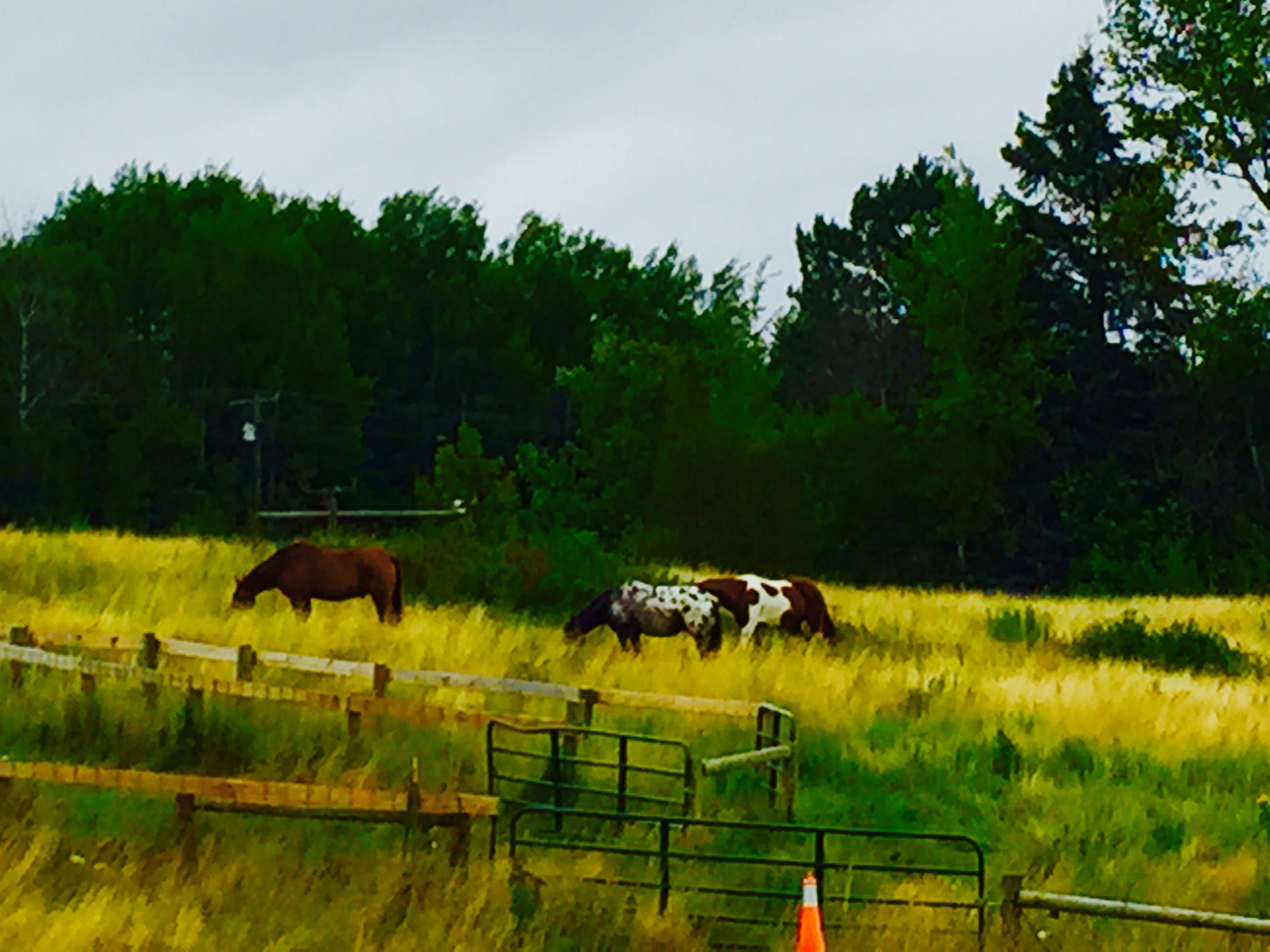
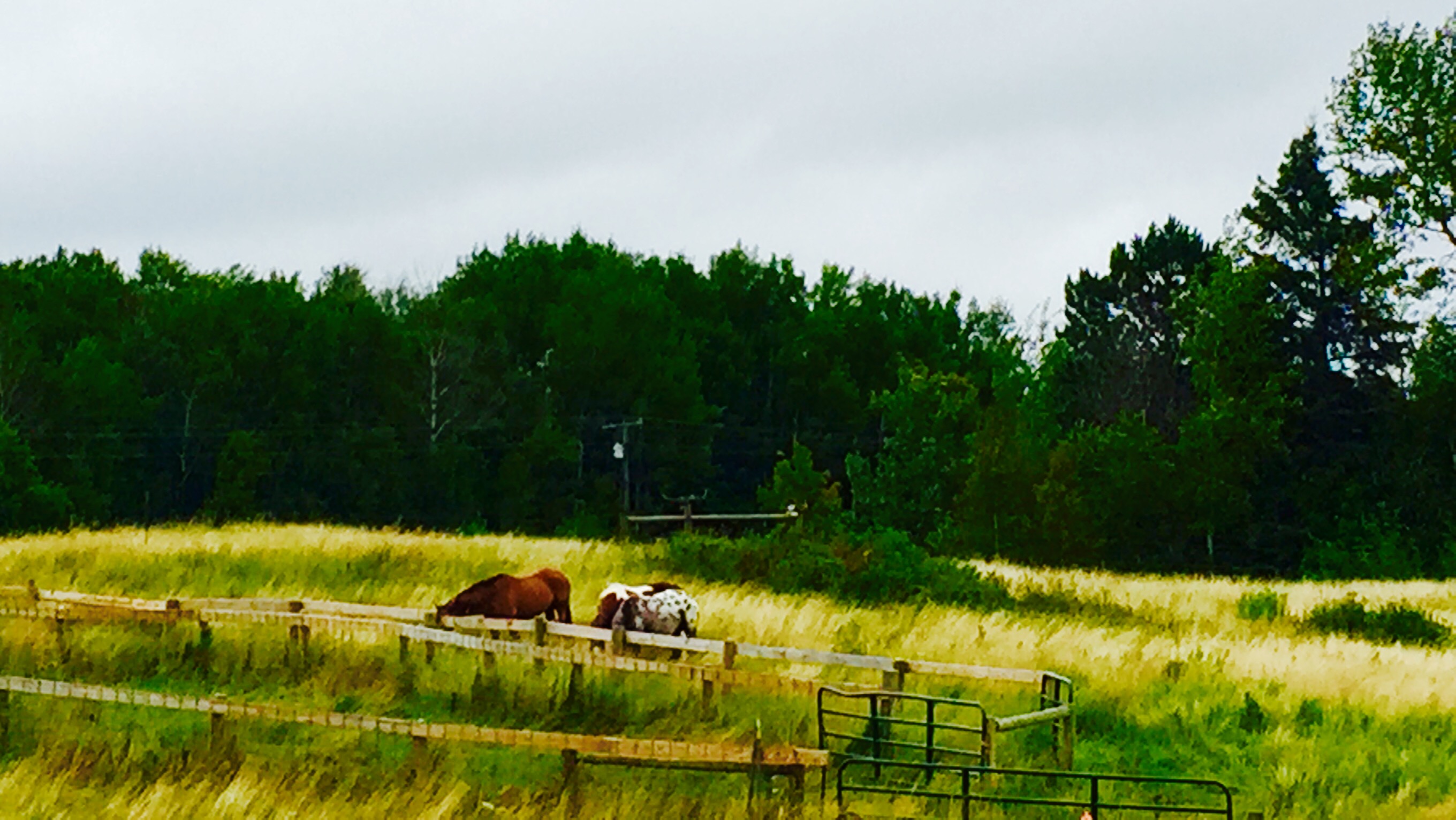
Related Photos:

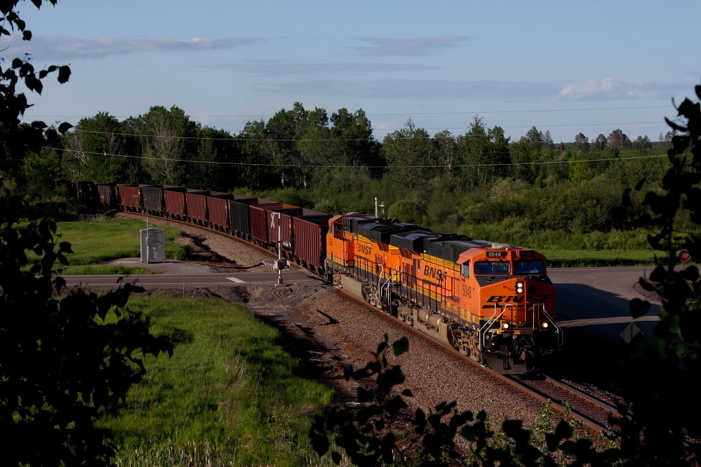
CN 2107 North at 33
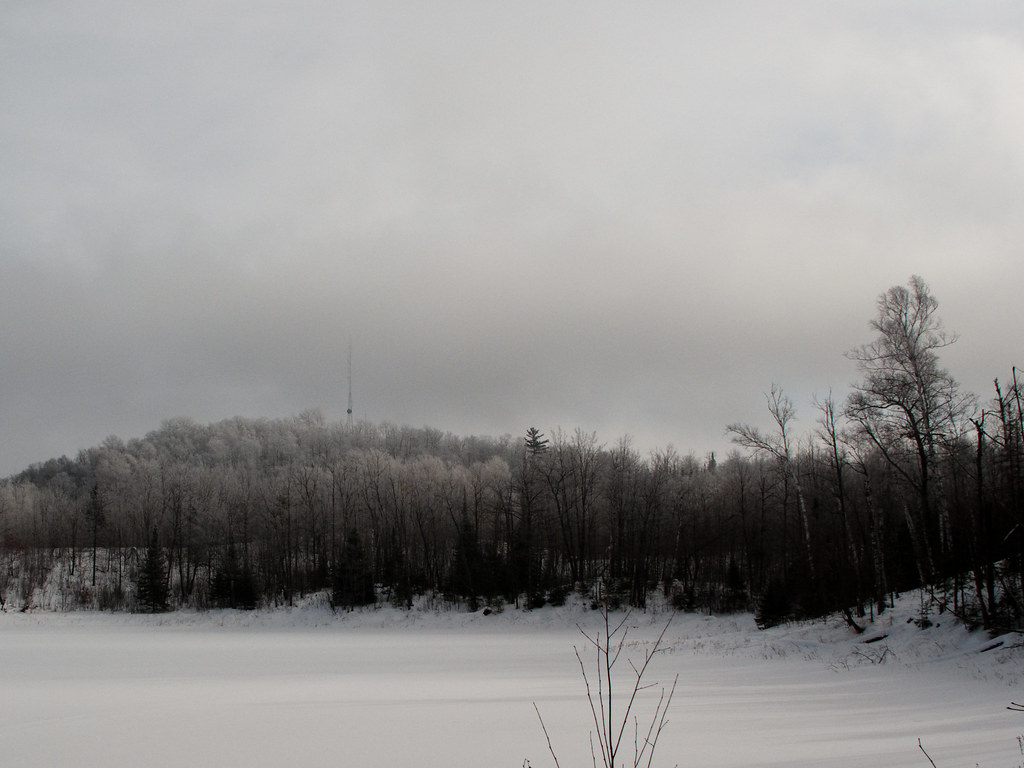
IMG_3347 Arrowhead.jpg
IMG_3361.jpg
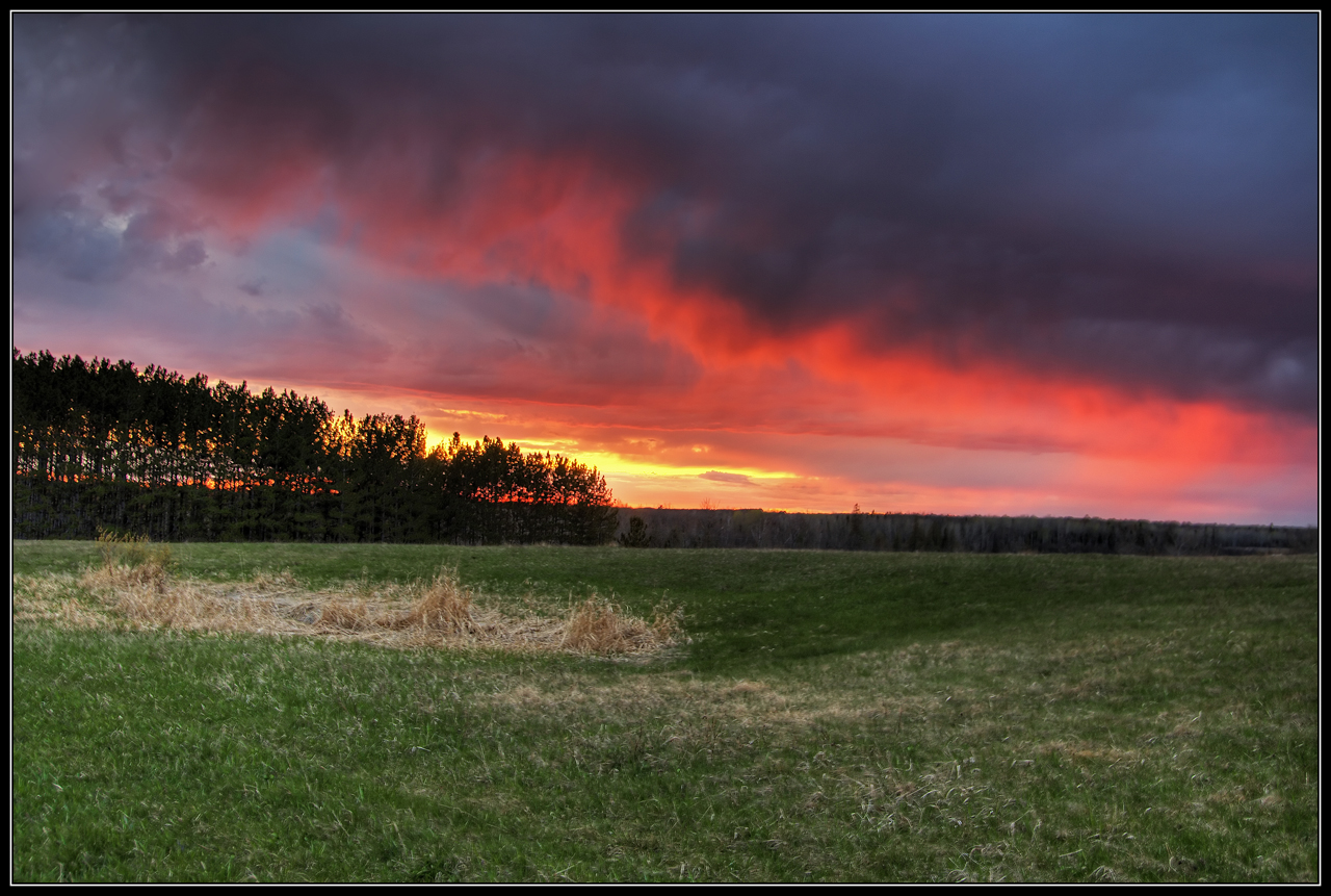
View from Brookston Schoolhouse Sunset - FLICKR

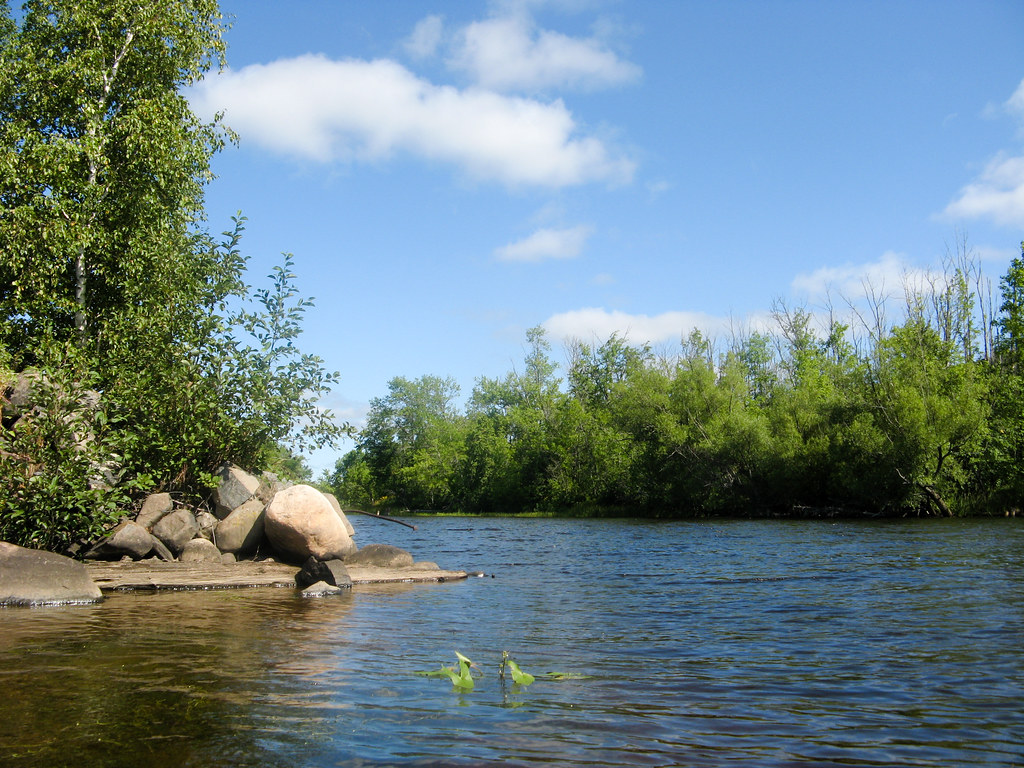
View from our fishing cabin in Canada
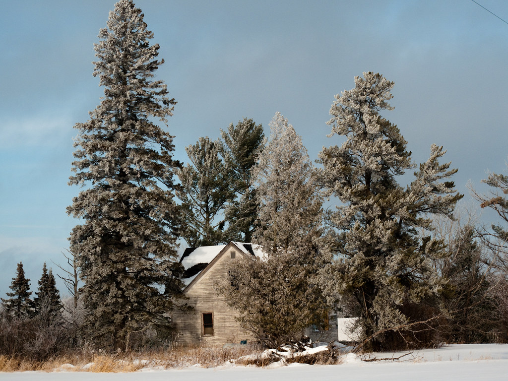
IMG_3425-1 Independence.jpg

Setting Sun on Shell Lake - BWCAW iPhone Photo

Rear View

Rear View and a Deck
HTE Archives

Maroon 5
HTE Archives
HTE Archives

IMG_2252-1
HTE Archives
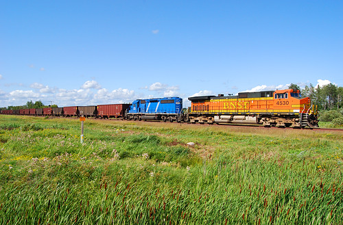
BNSF 4530 CN Missabe Sub
IMG_3917-1
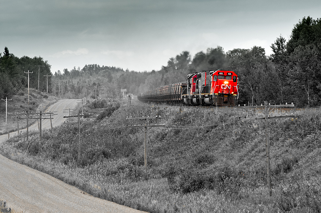
DMIR 405 Burnett
Canada, eh.

Gone Grill
KEEBIR Alborn
Topographic Map of Brookston, MN, USA
Find elevation by address:

Places in Brookston, MN, USA:
Places near Brookston, MN, USA:
2nd Ave, Brookston, MN, USA
Culver Township
Hwy 8, Saginaw, MN, USA
Alborn, MN, USA
Alborn Township
Berg Lind Rd, Alborn, MN, USA
Alborn
Cloquet, MN, USA
Industrial Township
Sunset Lake Drive
Big Lake Rd, Cloquet, MN, USA
Nygaard Rd, Brookston, MN, USA
Saginaw
Saint Louis Co 145
Cloquet
Cloquet Ave, Cloquet, MN, USA
W Lake Rd, Saginaw, MN, USA
1201 Industry Ave
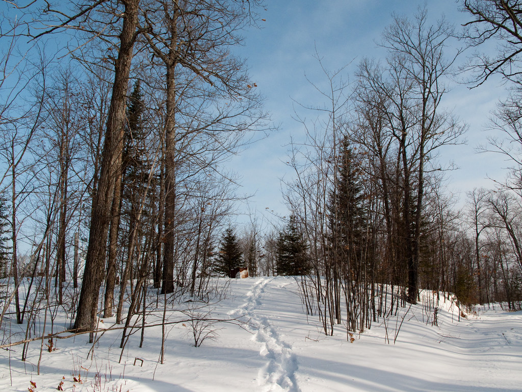
Pine Valley Trail System White Pine Loop
Meadowlands
Recent Searches:
- Elevation of Corso Fratelli Cairoli, 35, Macerata MC, Italy
- Elevation of Tallevast Rd, Sarasota, FL, USA
- Elevation of 4th St E, Sonoma, CA, USA
- Elevation of Black Hollow Rd, Pennsdale, PA, USA
- Elevation of Oakland Ave, Williamsport, PA, USA
- Elevation of Pedrógão Grande, Portugal
- Elevation of Klee Dr, Martinsburg, WV, USA
- Elevation of Via Roma, Pieranica CR, Italy
- Elevation of Tavkvetili Mountain, Georgia
- Elevation of Hartfords Bluff Cir, Mt Pleasant, SC, USA