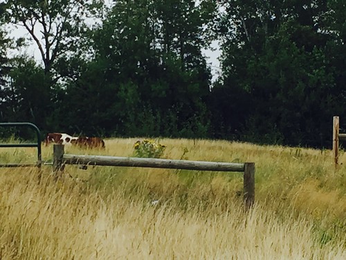
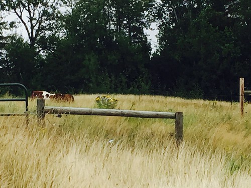
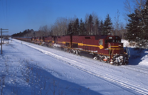
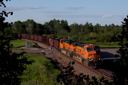
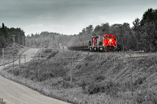
Elevation of Berg Lind Rd, Alborn, MN, USA
Location: United States > Minnesota > St. Louis County > Alborn Township >
Longitude: -92.568815
Latitude: 46.967175
Elevation: 401m / 1316feet
Barometric Pressure: 97KPa
Related Photos:
Topographic Map of Berg Lind Rd, Alborn, MN, USA
Find elevation by address:

Places near Berg Lind Rd, Alborn, MN, USA:
Alborn
Hwy 8, Saginaw, MN, USA
Alborn, MN, USA
Alborn Township
Culver Township
Saint Louis Co 145
2nd Ave, Brookston, MN, USA
Brookston
Sunset Lake Drive
Industrial Township
Saginaw
Person Rd, Cotton, MN, USA
Hwy 7, Cotton, MN, USA
W Lake Rd, Saginaw, MN, USA
Central Ave, Meadowlands, MN, USA
Meadowlands
Cloquet, MN, USA
Grand Lake Township
Nygaard Rd, Brookston, MN, USA
US-53, Cotton, MN, USA
Recent Searches:
- Elevation of Corso Fratelli Cairoli, 35, Macerata MC, Italy
- Elevation of Tallevast Rd, Sarasota, FL, USA
- Elevation of 4th St E, Sonoma, CA, USA
- Elevation of Black Hollow Rd, Pennsdale, PA, USA
- Elevation of Oakland Ave, Williamsport, PA, USA
- Elevation of Pedrógão Grande, Portugal
- Elevation of Klee Dr, Martinsburg, WV, USA
- Elevation of Via Roma, Pieranica CR, Italy
- Elevation of Tavkvetili Mountain, Georgia
- Elevation of Hartfords Bluff Cir, Mt Pleasant, SC, USA

