Elevation of Saginaw, MN, USA
Location: United States > Minnesota > St. Louis County > Grand Lake Township >
Longitude: -92.444356
Latitude: 46.8591081
Elevation: 413m / 1355feet
Barometric Pressure: 96KPa
Elevation Map:
Satellite Map:
Related Photos:
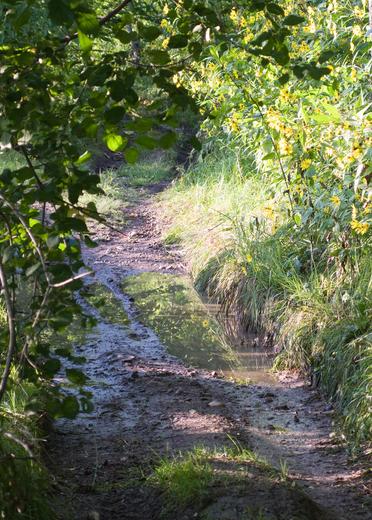
Railroad Tracks Near Adolph
IMG_3425-1 Independence.jpg

Dickcissel, Ugstad & Hwy 53, 07/21/12

Dickcissel, Ugstad & Hwy 53, 07/21/12

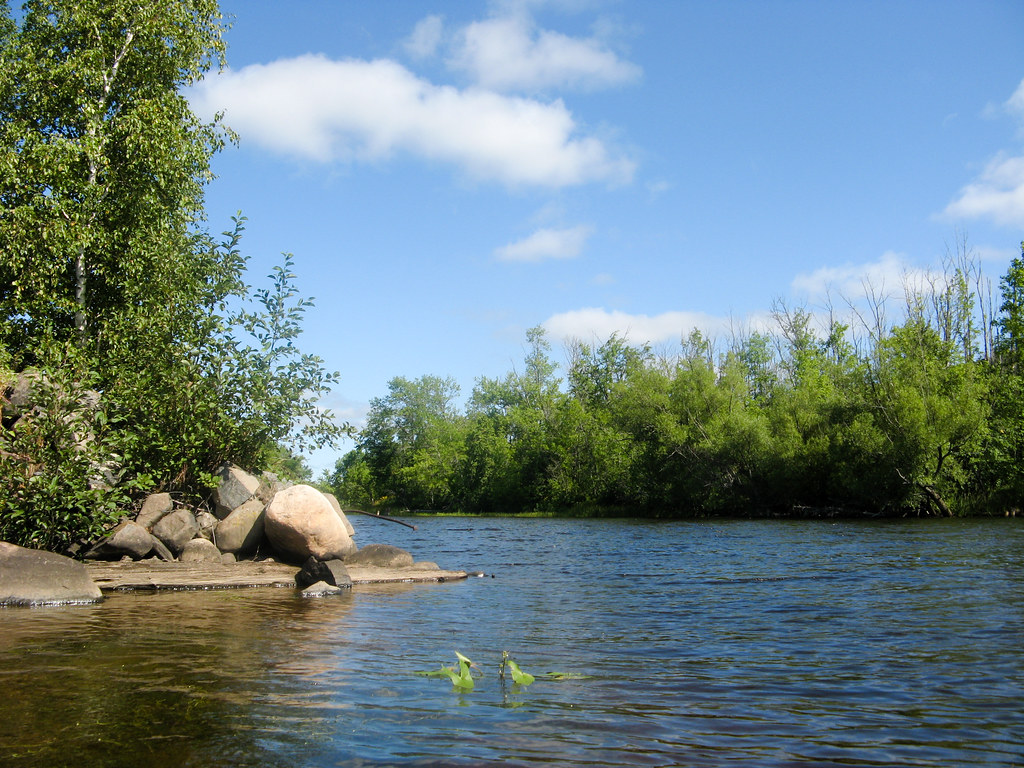
Setting Sun on Shell Lake - BWCAW iPhone Photo

Rear View and a Deck
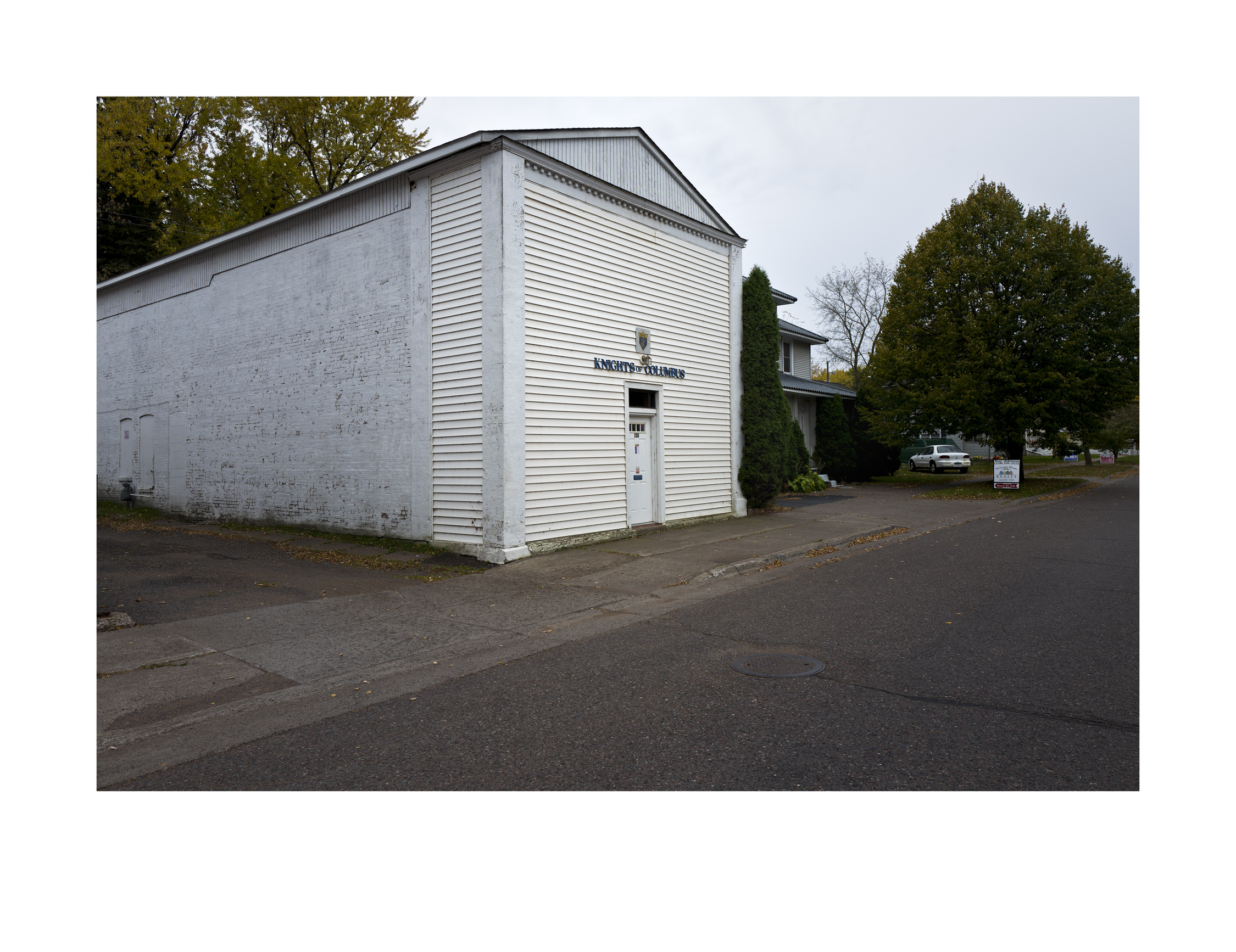
Knights of Columbus, Cloquet, Minnesota, alternate view, color

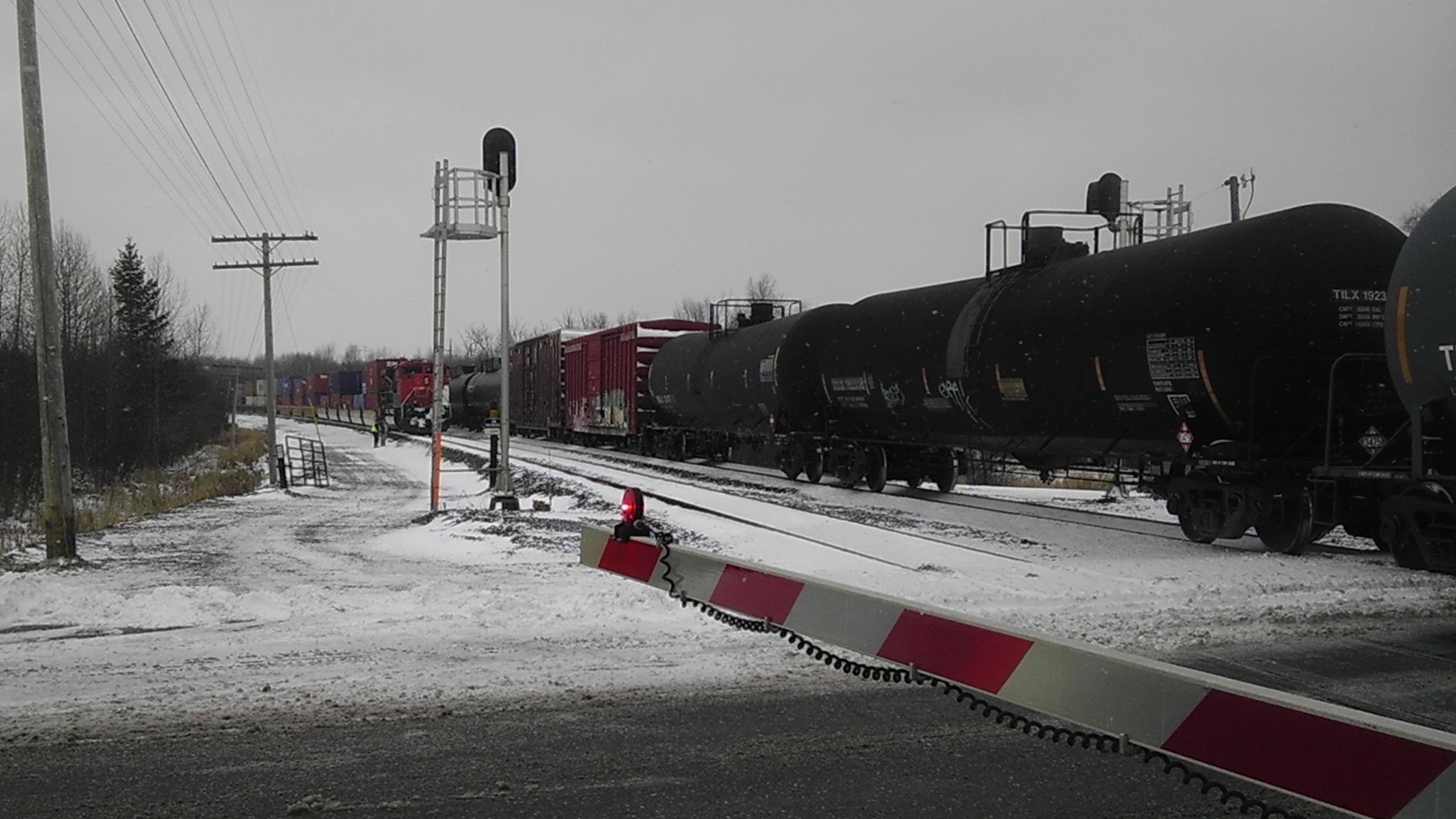
CN 2107 North at 33
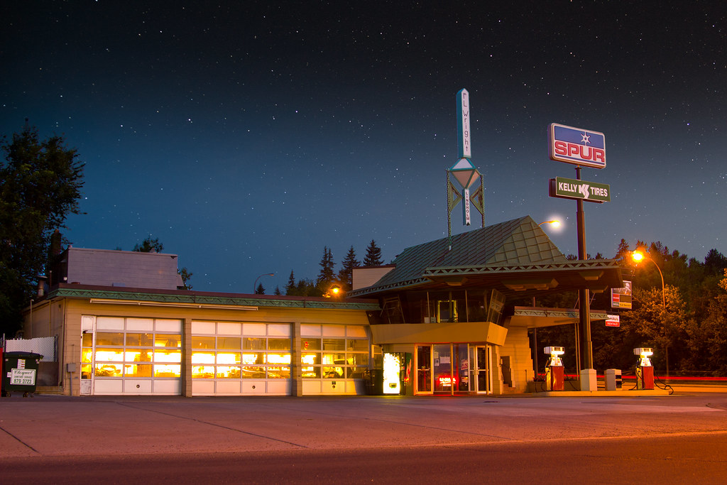
R. W. Lindholm Service Station (Frank Lloyd Wright)

CTRR 31
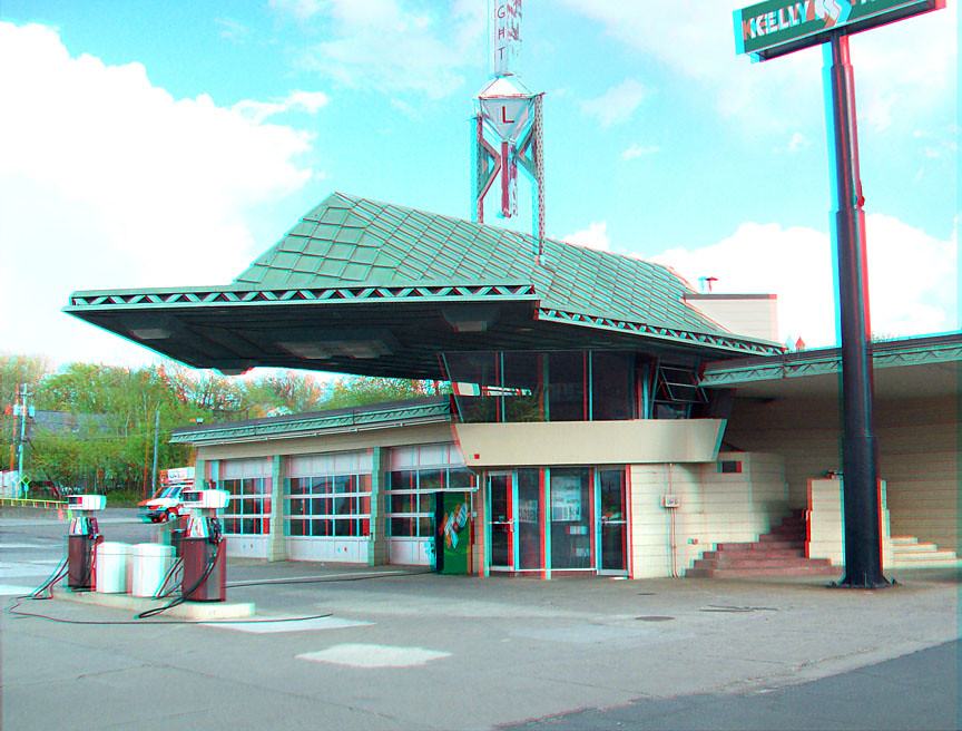
Frank Lloyd Wright Gas Station

Rear View
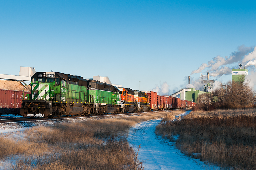
BNSF 1846 Sappi

Maroon 5
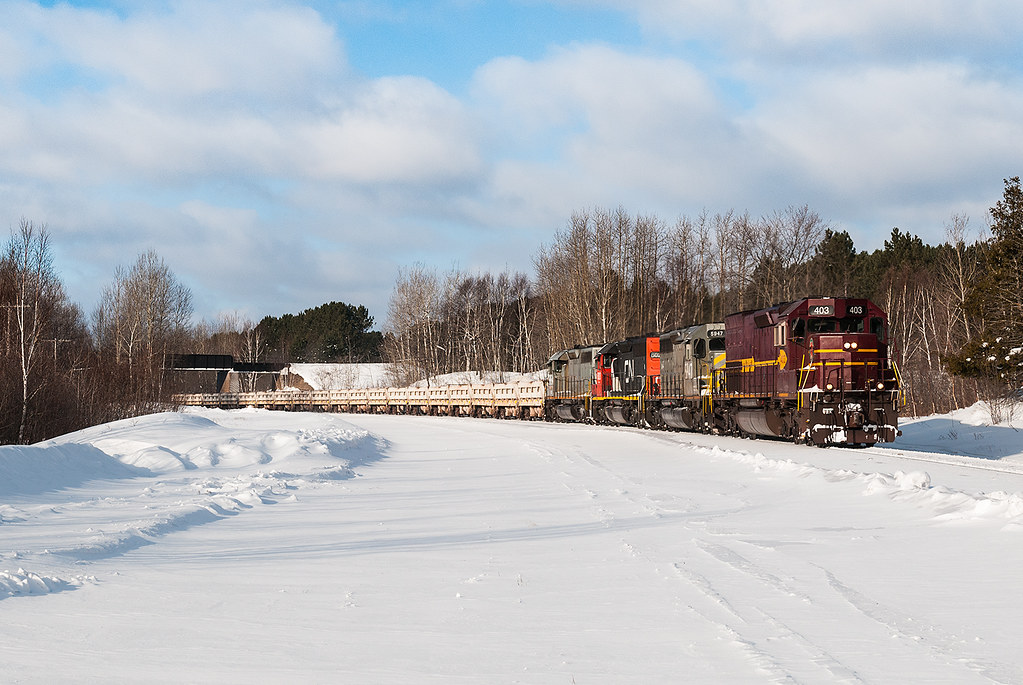
DM&IR 403 at Munger

Clay-colored Sparrow, Ugstad & Hwy 53, 07/21/12

#football a bit rainy but go bluejackets!
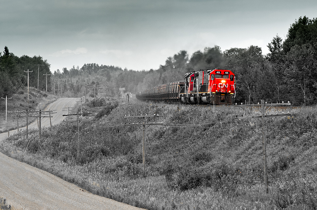
DMIR 405 Burnett
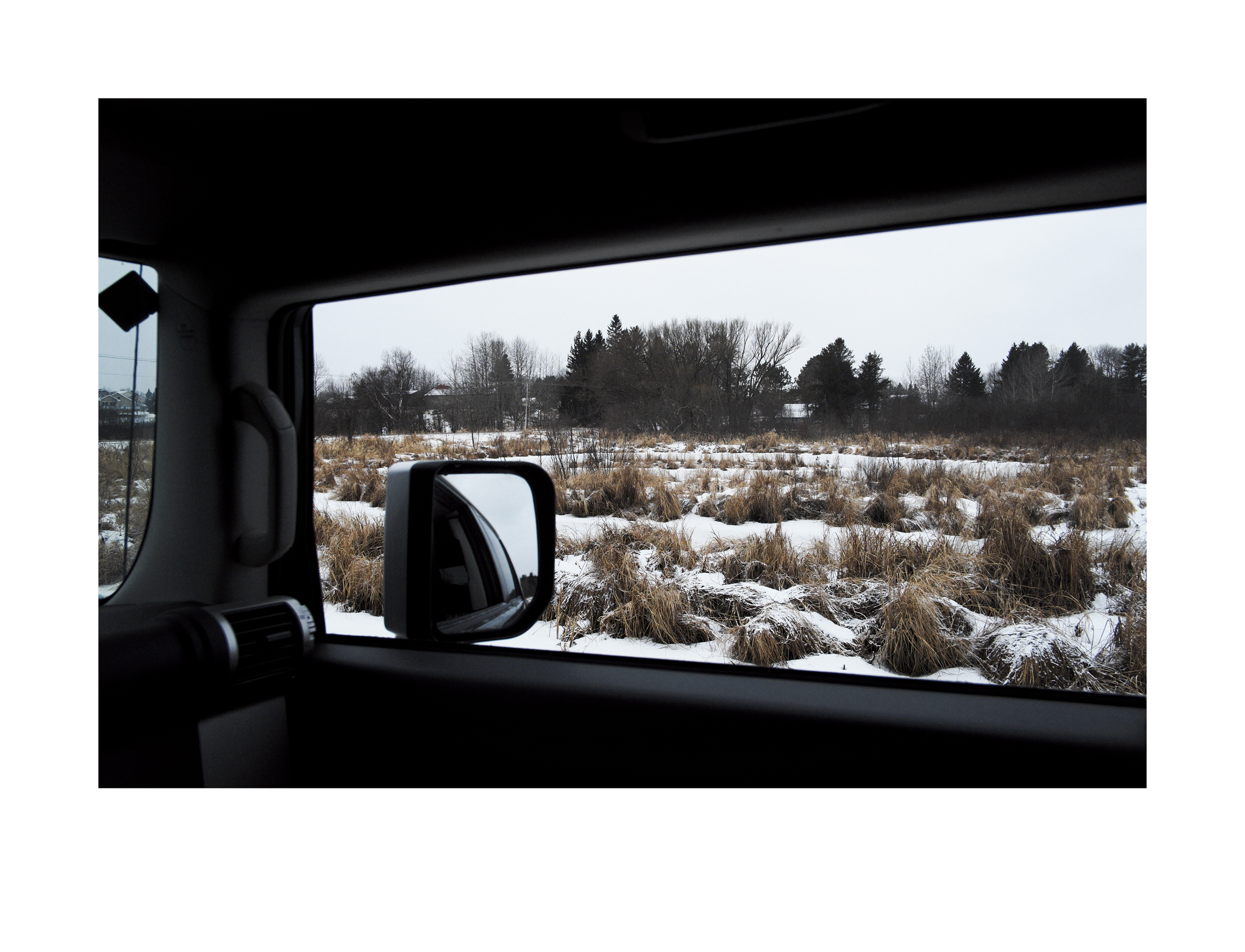
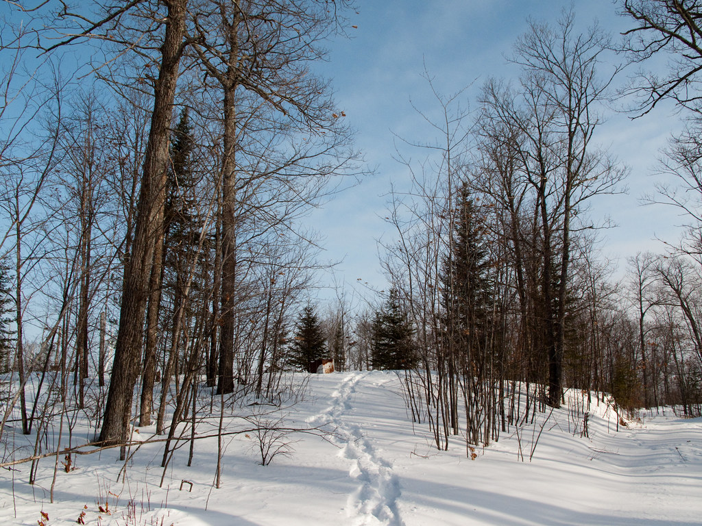
Wetlands in Winter

IMG_2792-1.jpg
IMG_2577-1.jpg
IMG_2429-1.jpg
IMG_2547-1.jpg
IMG_2505-1.jpg
IMG_2425-1.jpg
Autumn Colors 10-8-14 B Crop
IMG_2437-1.jpg

CRW_8390-01
IMG_2504-1.jpg

IMG_2419-1.jpg
IMG_3917-1

CRW_0526-02
Topographic Map of Saginaw, MN, USA
Find elevation by address:

Places in Saginaw, MN, USA:
Places near Saginaw, MN, USA:
W Lake Rd, Saginaw, MN, USA
Munger Shaw Rd, Saginaw, MN, USA
Old Hwy 2, Proctor, MN, USA
4412 Cedarway Rd
5904 N Pike Lake Rd
5904 N Pike Lake Rd
5904 N Pike Lake Rd
Pike Lake
Old Miller Trunk Hwy, Duluth, MN, USA
Prevost Rd, Cloquet, MN, USA
5360 W Arrowhead Rd
Hermantown
3713 Linda Rd
Kolar Chevrolet Buick Gmc
Duluth International Airport
4735 Loberg Ave
2921 Morris Thomas Rd
2207 Karl Ave
1600 Miller Trunk Hwy
Piedmont Heights
Recent Searches:
- Elevation of Corso Fratelli Cairoli, 35, Macerata MC, Italy
- Elevation of Tallevast Rd, Sarasota, FL, USA
- Elevation of 4th St E, Sonoma, CA, USA
- Elevation of Black Hollow Rd, Pennsdale, PA, USA
- Elevation of Oakland Ave, Williamsport, PA, USA
- Elevation of Pedrógão Grande, Portugal
- Elevation of Klee Dr, Martinsburg, WV, USA
- Elevation of Via Roma, Pieranica CR, Italy
- Elevation of Tavkvetili Mountain, Georgia
- Elevation of Hartfords Bluff Cir, Mt Pleasant, SC, USA