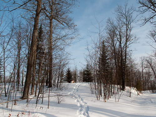
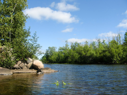
Elevation of Sunset Lake Drive, Sunset Lake Dr, Industrial Township, MN, USA
Location: United States > Minnesota > St. Louis County > Grand Lake Township > Saginaw >
Longitude: -92.479972
Latitude: 46.9096781
Elevation: 397m / 1302feet
Barometric Pressure: 97KPa
Related Photos:
Topographic Map of Sunset Lake Drive, Sunset Lake Dr, Industrial Township, MN, USA
Find elevation by address:

Places near Sunset Lake Drive, Sunset Lake Dr, Industrial Township, MN, USA:
Industrial Township
Saint Louis Co 145
Saginaw
Hwy 8, Saginaw, MN, USA
W Lake Rd, Saginaw, MN, USA
Berg Lind Rd, Alborn, MN, USA
Alborn
Grand Lake Township
2nd Ave, Brookston, MN, USA
Brookston
Culver Township
Munger Shaw Rd, Saginaw, MN, USA
Alborn, MN, USA
Alborn Township
Old Hwy 2, Proctor, MN, USA
Cloquet, MN, USA
5904 N Pike Lake Rd
5904 N Pike Lake Rd
5904 N Pike Lake Rd
1201 Industry Ave
Recent Searches:
- Elevation of Corso Fratelli Cairoli, 35, Macerata MC, Italy
- Elevation of Tallevast Rd, Sarasota, FL, USA
- Elevation of 4th St E, Sonoma, CA, USA
- Elevation of Black Hollow Rd, Pennsdale, PA, USA
- Elevation of Oakland Ave, Williamsport, PA, USA
- Elevation of Pedrógão Grande, Portugal
- Elevation of Klee Dr, Martinsburg, WV, USA
- Elevation of Via Roma, Pieranica CR, Italy
- Elevation of Tavkvetili Mountain, Georgia
- Elevation of Hartfords Bluff Cir, Mt Pleasant, SC, USA


