Elevation of US-53, Cotton, MN, USA
Location: United States > Minnesota > St. Louis County > Cotton Township >
Longitude: -92.477099
Latitude: 47.1688293
Elevation: 407m / 1335feet
Barometric Pressure: 97KPa
Elevation Map:
Satellite Map:
Related Photos:
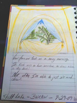
View from tent on Shell Lake - BWCAW iPhone Photo
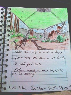
View from tarp on Shell Lake - BWCAW - iPhone Photo
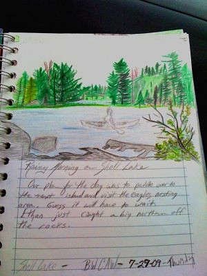
West Side View of Shell Lake - BWCAW iPhone Photo

Four-spotted Skimmer
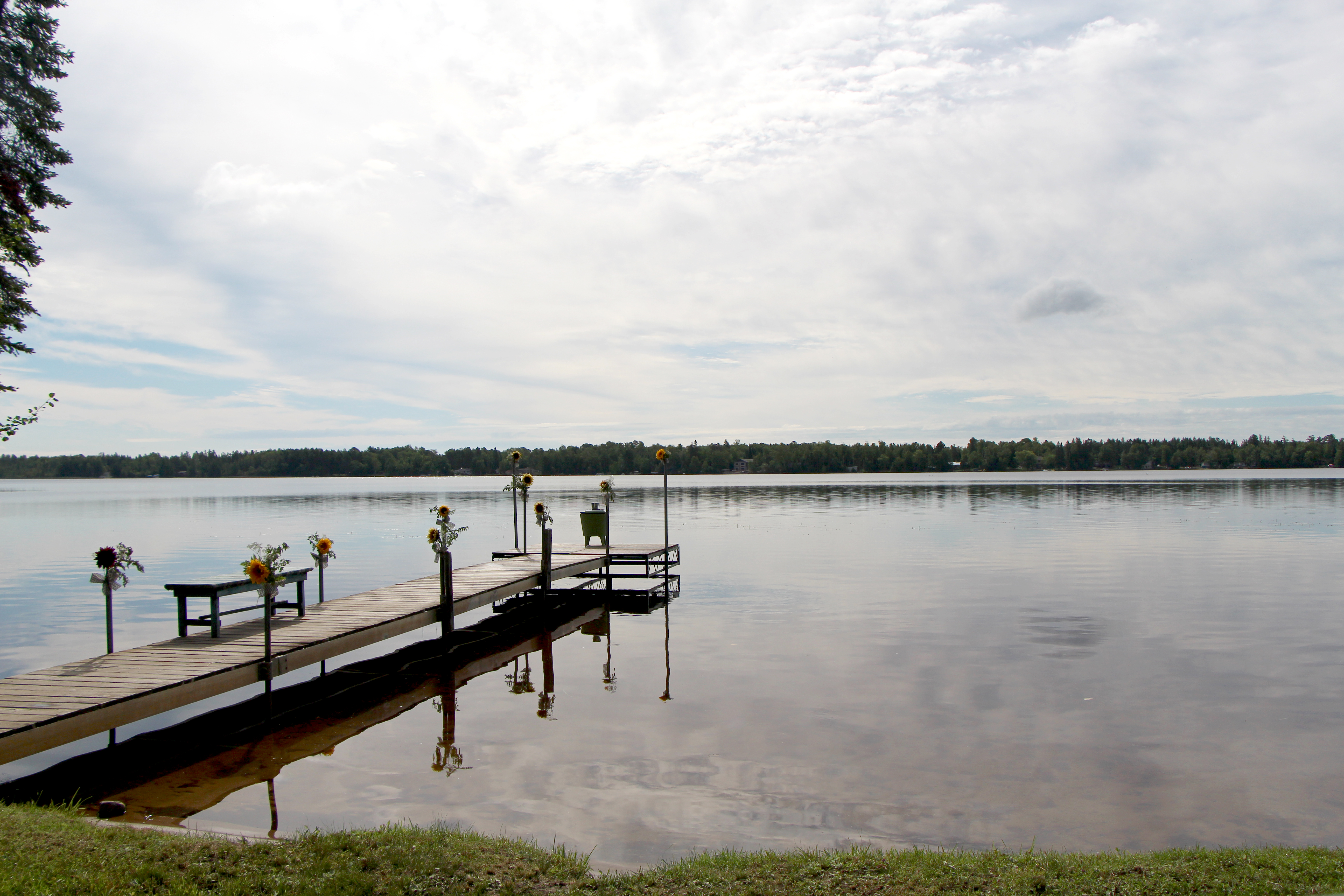
Wedding dock

High Water

Le Conte's Sparrow

Le Conte's Sparrow

Le Conte's Sparrow
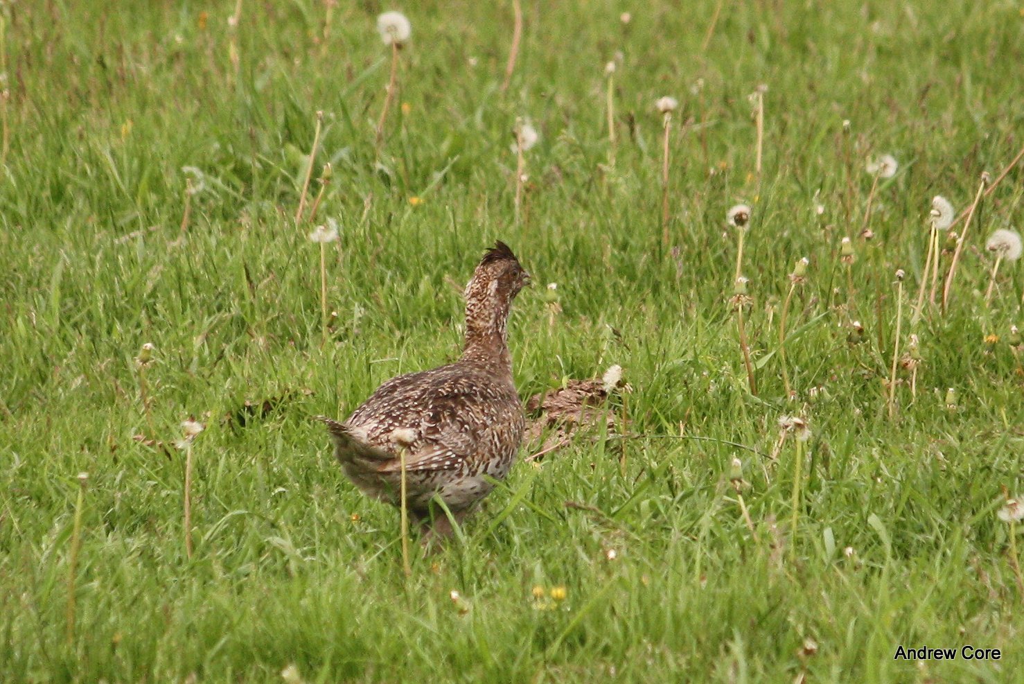
Sharp-tailed Grouse

Sharp-tailed Grouse habitat

The snows are building....
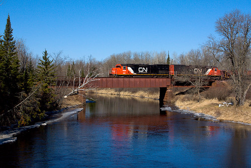
CN 400
Topographic Map of US-53, Cotton, MN, USA
Find elevation by address:

Places near US-53, Cotton, MN, USA:
Cotton Township
Hwy 7, Cotton, MN, USA
Person Rd, Cotton, MN, USA
Saint Louis Co 145
Wilson Rd, Makinen, MN, USA
Alborn
Town Line Rd, Eveleth, MN, USA
Berg Lind Rd, Alborn, MN, USA
Alborn, MN, USA
Alborn Township
Hwy 7, Iron Junction, MN, USA
Hwy 8, Saginaw, MN, USA
Sunset Lake Drive
Grand Lake Township
Central Ave, Meadowlands, MN, USA
Meadowlands
Industrial Township
Co Hwy, Iron Junction, MN, USA
Vermilion Trail, Makinen, MN, USA
Munger Shaw Rd, Saginaw, MN, USA
Recent Searches:
- Elevation of Corso Fratelli Cairoli, 35, Macerata MC, Italy
- Elevation of Tallevast Rd, Sarasota, FL, USA
- Elevation of 4th St E, Sonoma, CA, USA
- Elevation of Black Hollow Rd, Pennsdale, PA, USA
- Elevation of Oakland Ave, Williamsport, PA, USA
- Elevation of Pedrógão Grande, Portugal
- Elevation of Klee Dr, Martinsburg, WV, USA
- Elevation of Via Roma, Pieranica CR, Italy
- Elevation of Tavkvetili Mountain, Georgia
- Elevation of Hartfords Bluff Cir, Mt Pleasant, SC, USA