Elevation of Big Lake Rd, Cloquet, MN, USA
Location: United States > Minnesota > Carlton County >
Longitude: -92.593523
Latitude: 46.7216571
Elevation: 400m / 1312feet
Barometric Pressure: 97KPa
Elevation Map:
Satellite Map:
Related Photos:
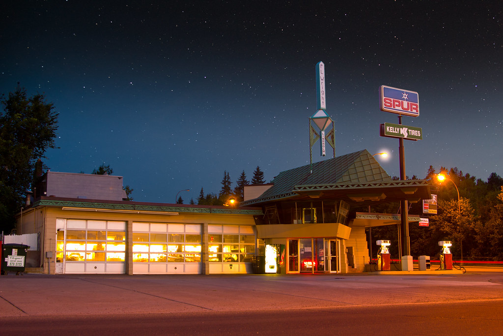
R. W. Lindholm Service Station (Frank Lloyd Wright)

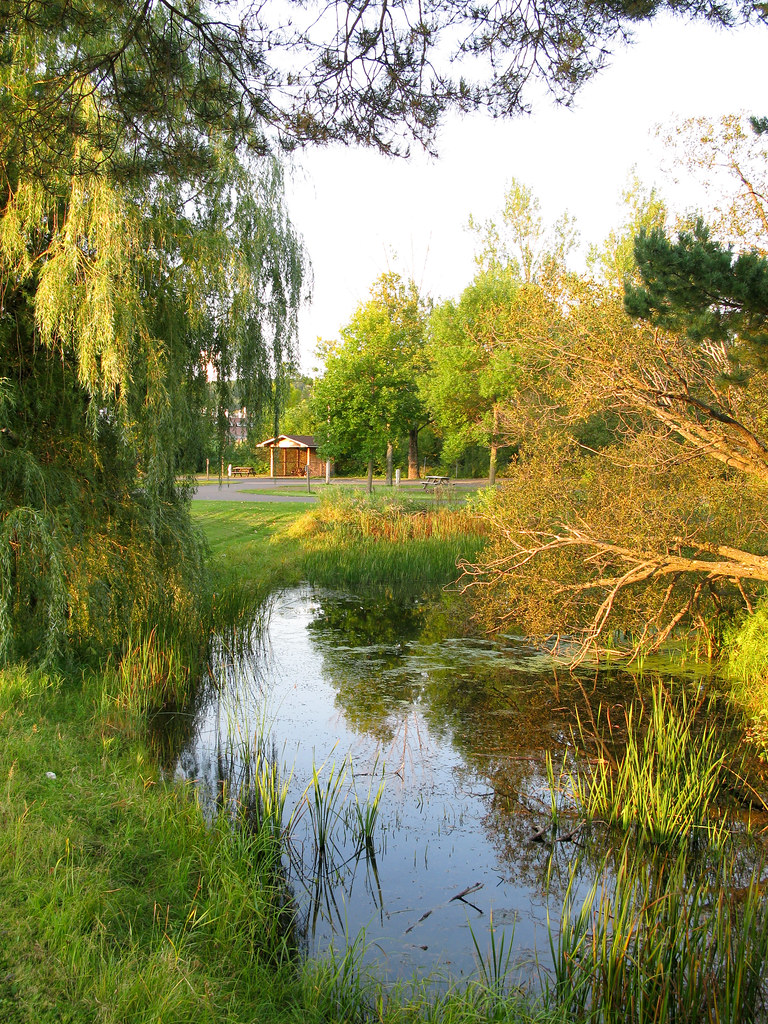
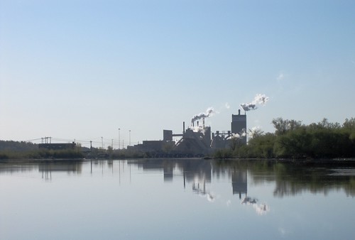
River View
IMG_3347 Arrowhead.jpg
IMG_3767.jpg
IMG_3749.jpg

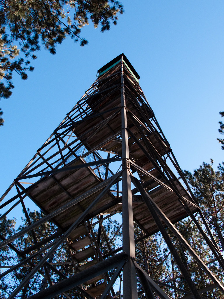
CTRR 31

Mike & Brandon
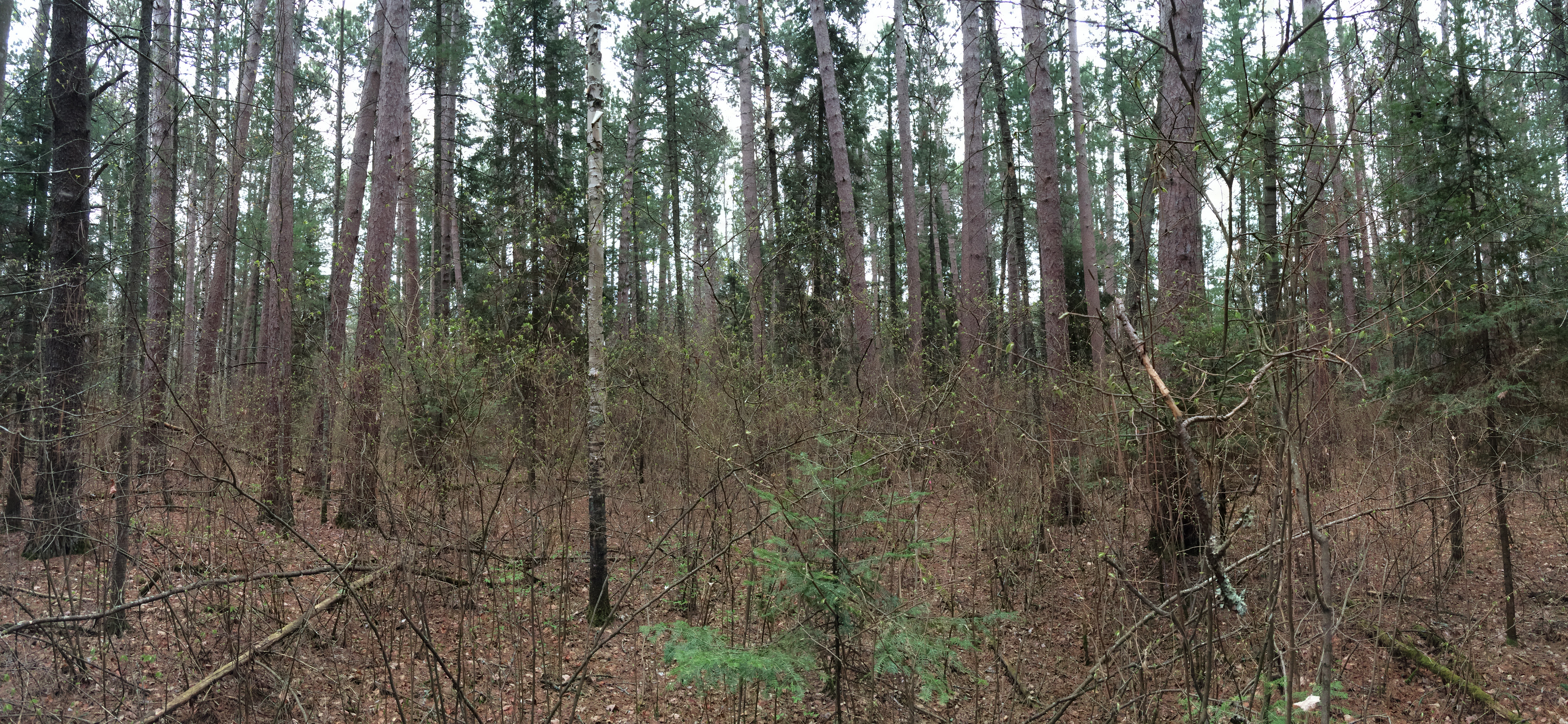
CFC CFI plot #140 camp 8 with brush pano 3 wider view
IMG_3176.jpg
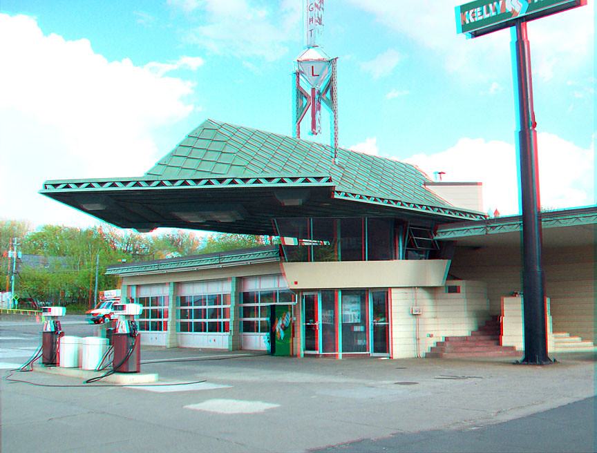
Frank Lloyd Wright Gas Station
IMG_3195.jpg

Jay Cooke State Park
IMG_3209.jpg

Jay Cooke State Park

Jay Cooke State Park
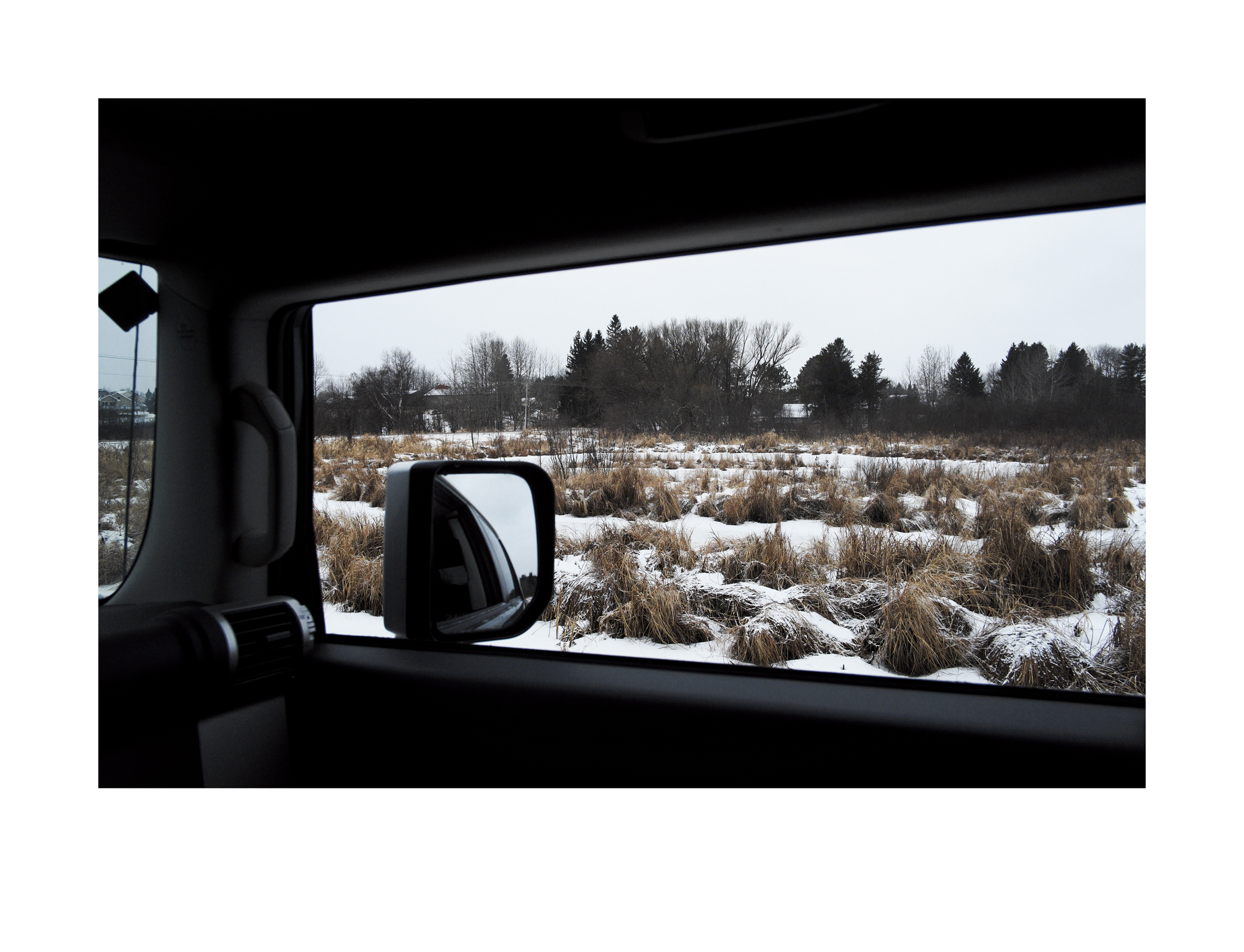
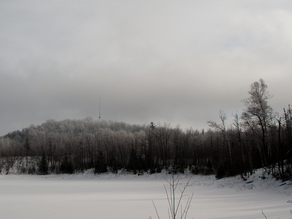
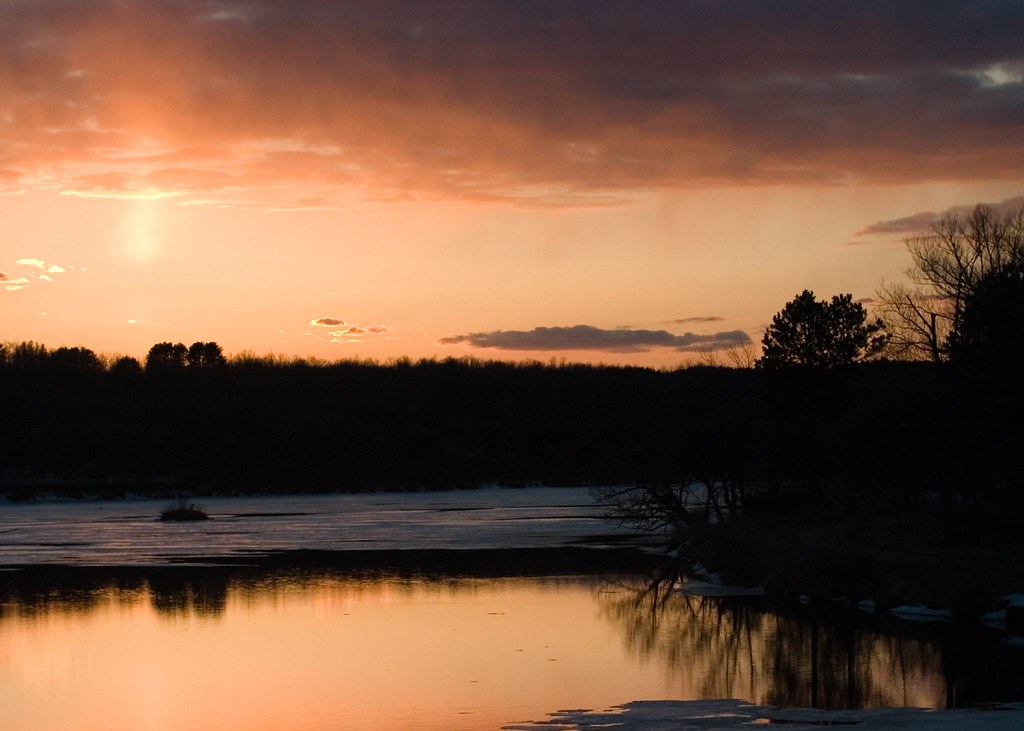
Wetlands in Winter
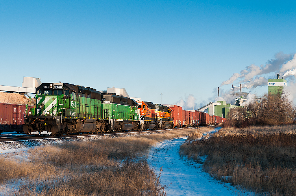
BNSF 1846 Sappi

IMG_2792-1.jpg
IMG_2427-1
IMG_2577-1.jpg

BNSF 8856 Carlton
IMG_2429-1.jpg

IMG_2414-1
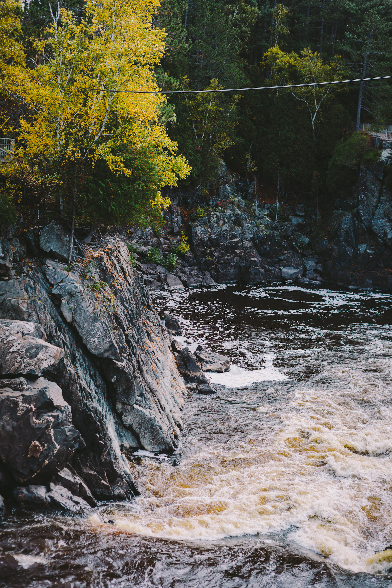
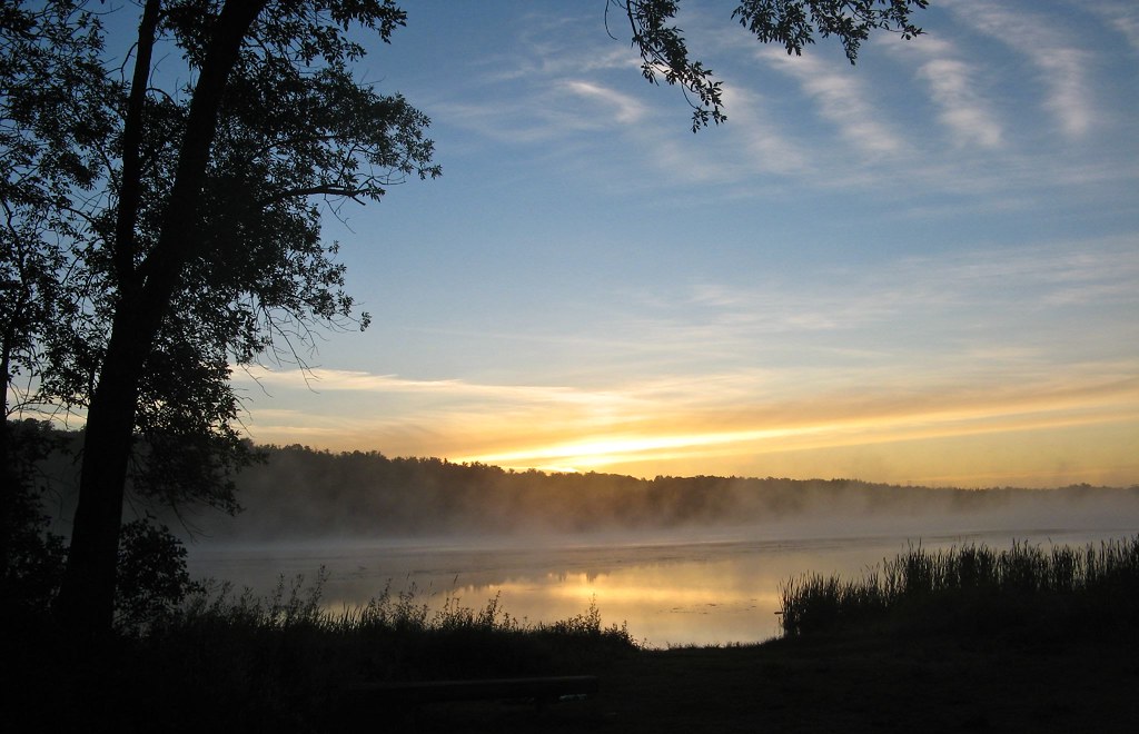
St. Louis River, Thomson, MN
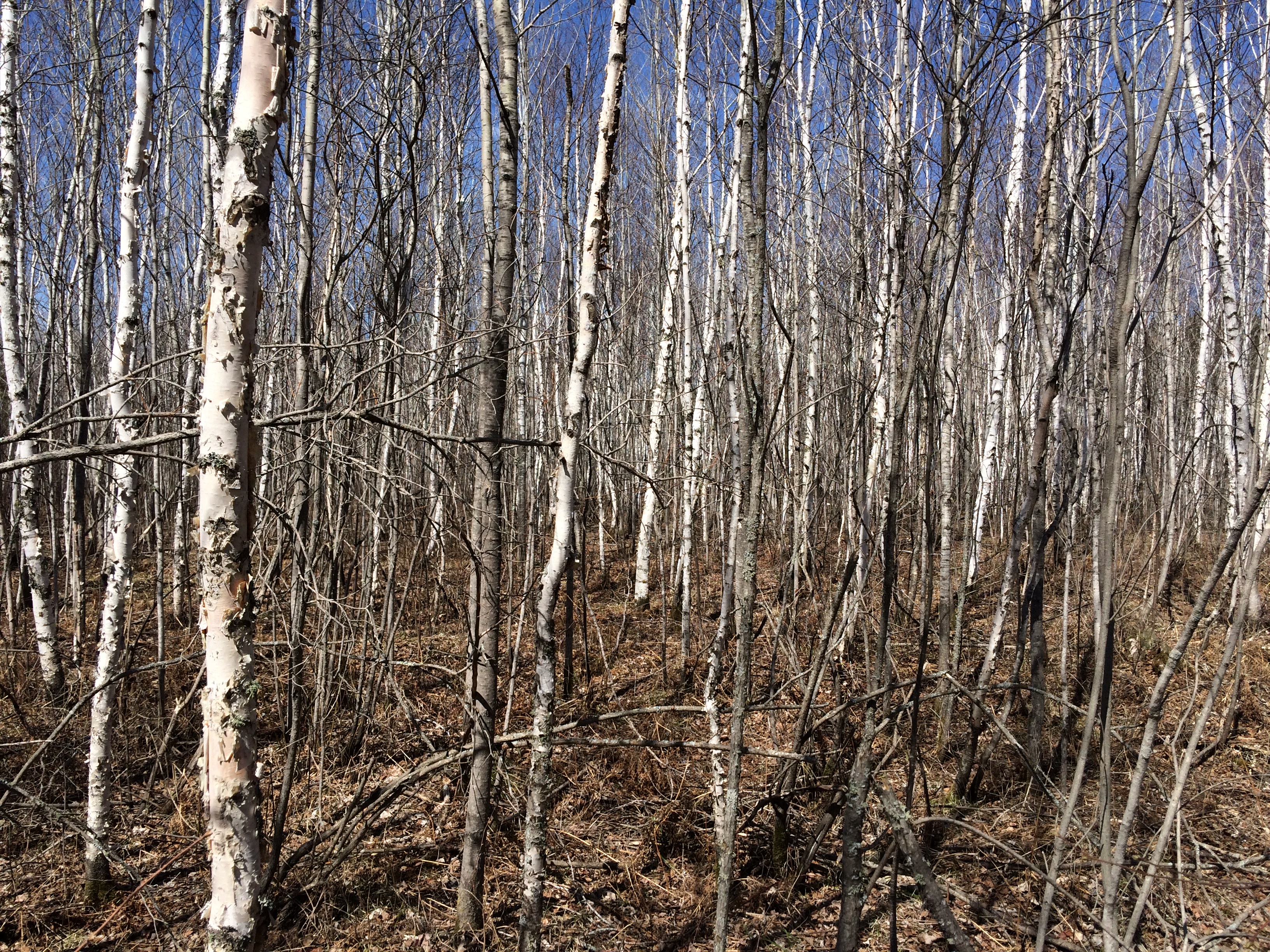
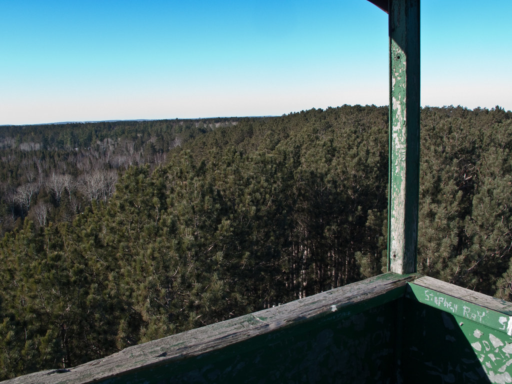
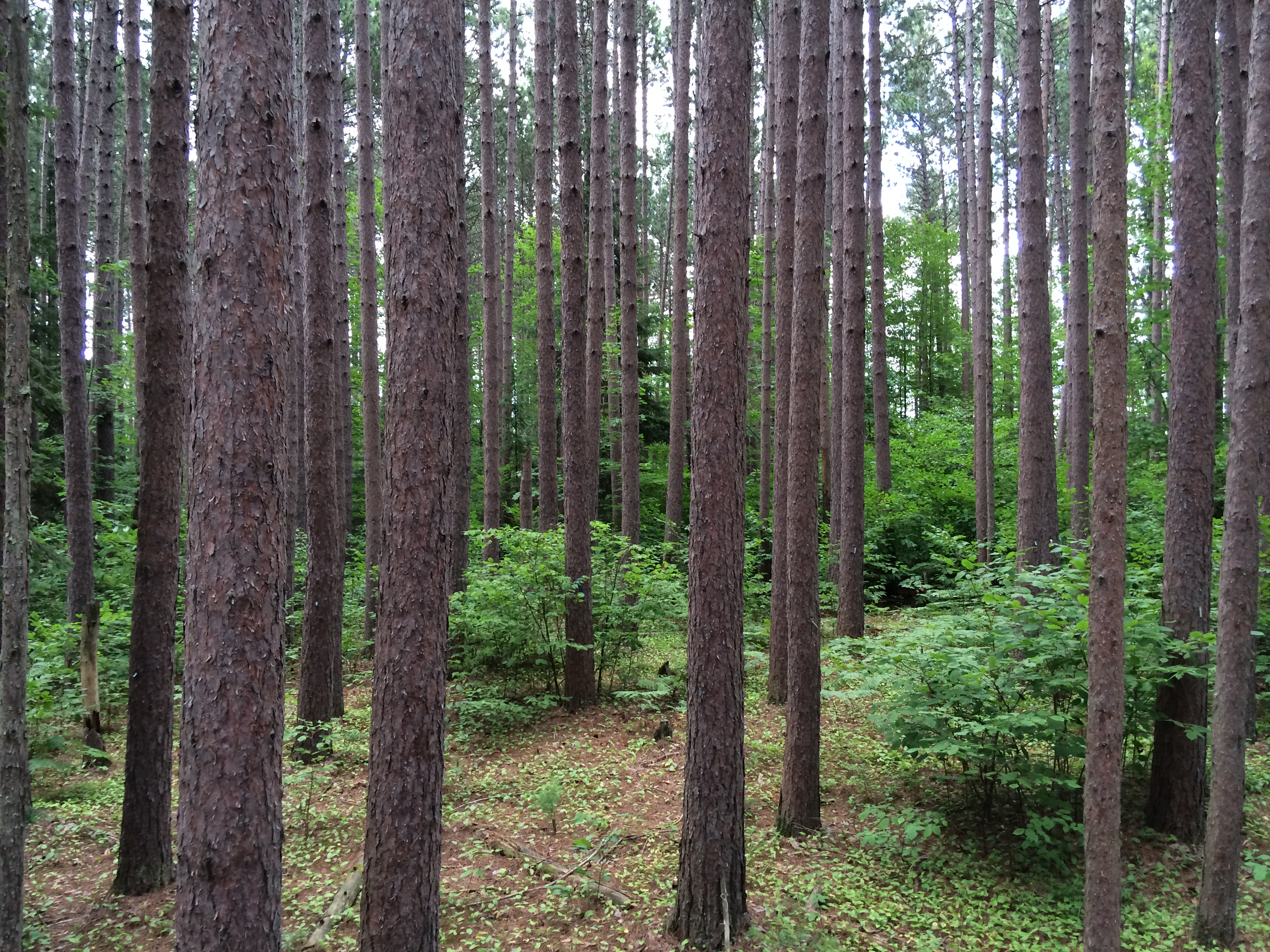
Paper birch regeneration 35 years after shelterwood regeneration, Cloquet MN

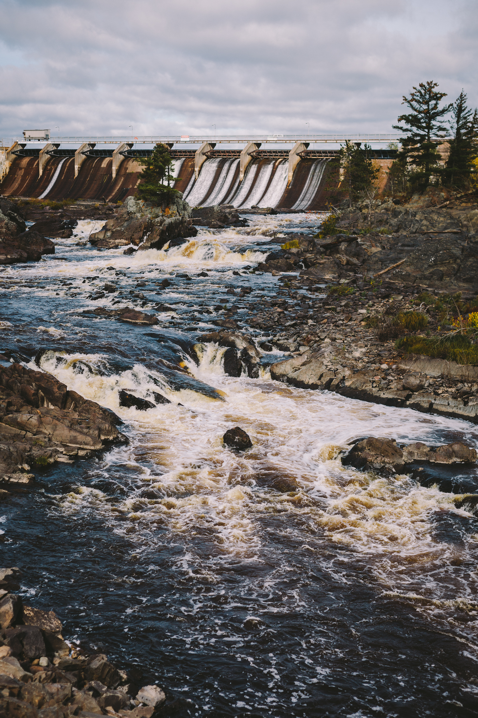
Thomson Dam
CRW_5647-1
IMG_2432-1.jpg

P1090562-LR

St. Louis River, Thomson, MN

IMG_2547-1.jpg
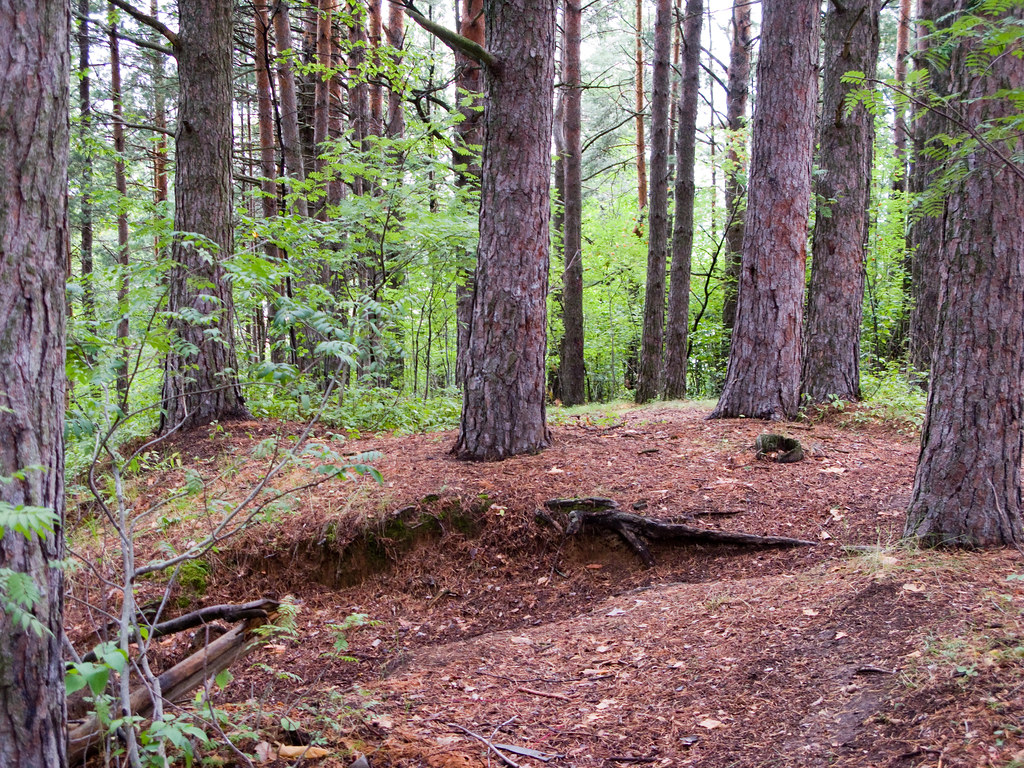
Student thinnings
St. Louis River, Thomson, MN
IMG_0069.jpg
Topographic Map of Big Lake Rd, Cloquet, MN, USA
Find elevation by address:

Places near Big Lake Rd, Cloquet, MN, USA:
Cloquet, MN, USA
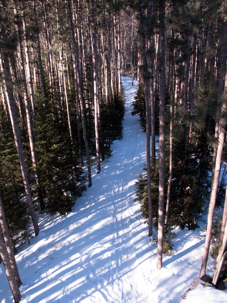
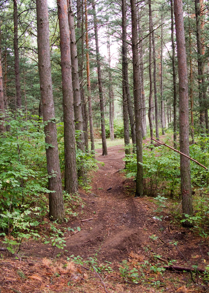
Pine Valley Trail System White Pine Loop
Cloquet
Cloquet Ave, Cloquet, MN, USA
1201 Industry Ave
Brookston
2nd Ave, Brookston, MN, USA
3rd St, Barnum, MN, USA
2143 W Chub Lake Rd
Mahtowa Township
Culver Township
Carlton
3rd St, Carlton, MN, USA
Carlton County
Saginaw
Dalles Ave, Carlton, MN, USA
Thomson
Industrial Township
Hwy 8, Saginaw, MN, USA
Sunset Lake Drive
Recent Searches:
- Elevation of Corso Fratelli Cairoli, 35, Macerata MC, Italy
- Elevation of Tallevast Rd, Sarasota, FL, USA
- Elevation of 4th St E, Sonoma, CA, USA
- Elevation of Black Hollow Rd, Pennsdale, PA, USA
- Elevation of Oakland Ave, Williamsport, PA, USA
- Elevation of Pedrógão Grande, Portugal
- Elevation of Klee Dr, Martinsburg, WV, USA
- Elevation of Via Roma, Pieranica CR, Italy
- Elevation of Tavkvetili Mountain, Georgia
- Elevation of Hartfords Bluff Cir, Mt Pleasant, SC, USA