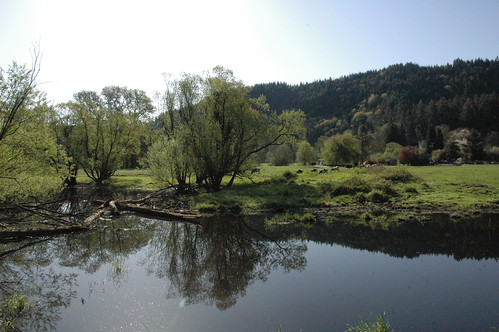
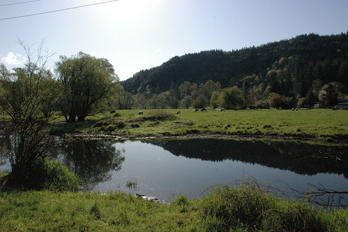
Elevation of Bridge St, Vernonia, OR, USA
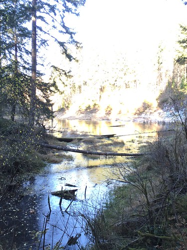
Location: United States > Oregon > Columbia County > Vernonia >

Longitude: -123.19481

Latitude: 45.8589002

Elevation: 190m / 623feet

Barometric Pressure: 99KPa

Elevation Map:

elevation map of Bridge St, Vernonia, OR, USA
Satellite Map:

Satellite map of Bridge St, Vernonia, OR, USA

Related Photos:

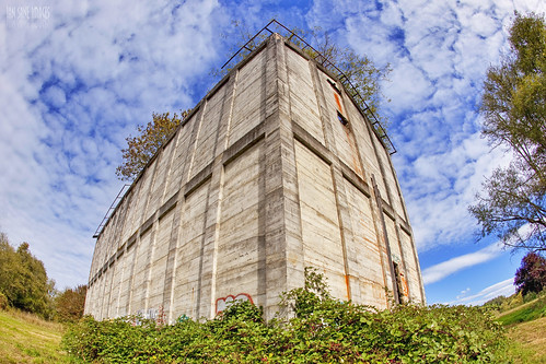
camera blue two sky white lake mill abandoned clouds oregon canon lens ian grit eos mark images fisheye company bunker ii 5d cauldron f28 blackberries fuel lumber sane the vernonia ef15mm oregonamerican
The White Cauldron
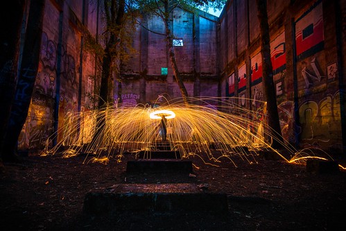
steel wool spin spark light painting lightpainting color slow shutter yellow fire hot canon self graffiti abandoned mill venonia logging log industry old historical creepy timmer nature trees
Fire in the Mill
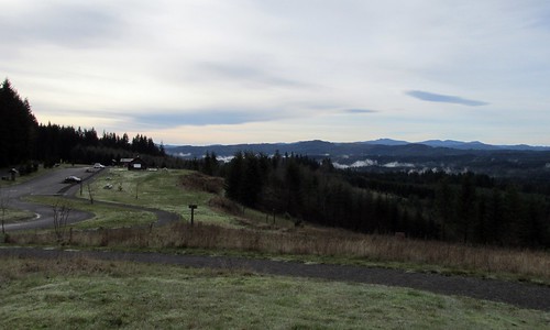
county oregon forest tillamook scenic overlook viewpoint hdr
Scenic Overlook Ahead
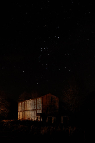
longexposure lake mill night oregon dark stars spring ruins or horizon nighttime orion constellation afterdark vernonia electricmill millsite oregonamerican
Orion over Ruins
raleigh crestedbutte mountaintour cabincamping stubstewart stubstewartcabincamping6dec2014
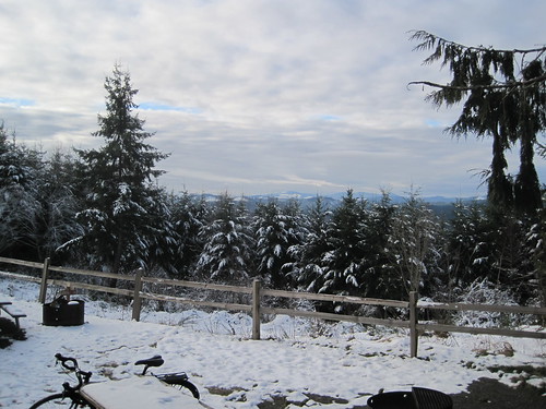
The view from Hilltop Day Use Area.
raleigh crestedbutte mountaintour cabincamping raleighmountaintour raleighcrestedbutte
The Crested Butte awaits outside the cabin.
cabincamping stubstewart stubstewartcabincamping6dec2014
The view from Hilltop Day Use Area.
coffee oregon or festivus blackbear vernonia columbiacounty vernoniaor vernoniaoregon columbiacountyoregon columbiacountyor
12-20-06 031
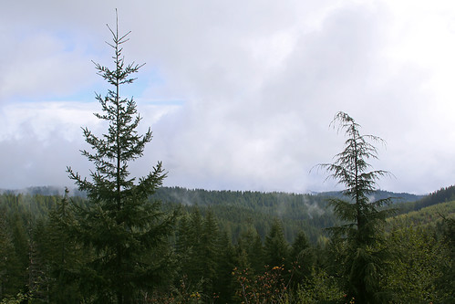
mountains tree oregon scenery overlook
Mountain View
cabincamping stubstewart
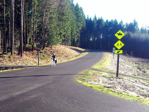
April climbs the hill to the cabins.
cabincamping stubstewart
Eating and goofing.
shay vernonia oregonamerican102
The Vernonia shay (front view)
linus cabincamping stubstewart linusmixte
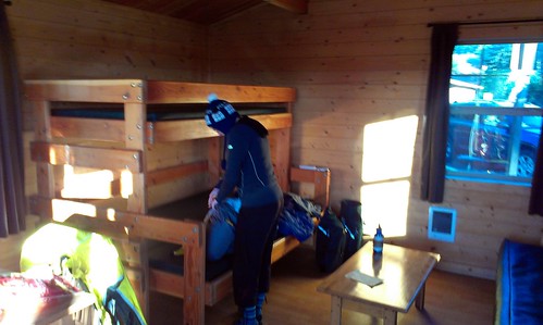
The cabin interior.
cabincamping stubstewart
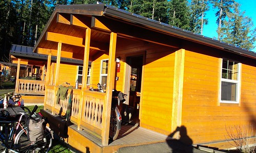
Cabin 11, where we stayed.
cabincamping stubstewart
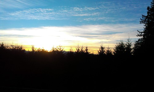
Sunset over the Coast Range.
stubstewartstatepark cyclewild
View from the porch of our cabin
night dark lights long shutter longexposure tunnel mountain cars streak red blue sky clouds landscape tripod canon tamron oregon vernonia 26 highway road street trees forest cave color
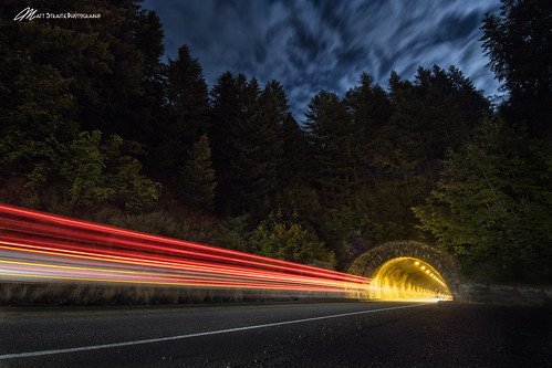
Death Ray from the Mountain
fall cold road freedom canon landscape orange yellow train tretle outside portland vernonia underwater swim
Fall adventure tunel
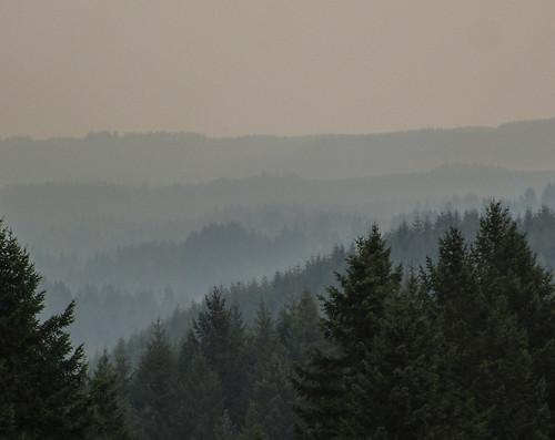
wildfire smoke haze trees sky distance view hike cztrail landscape outdoor oregon pnw aerialperspective atmosphericperspective
the view
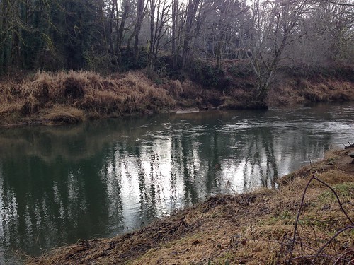
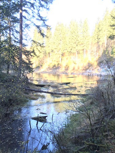
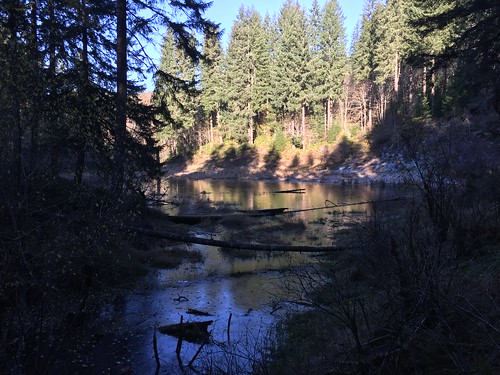
Coon creek
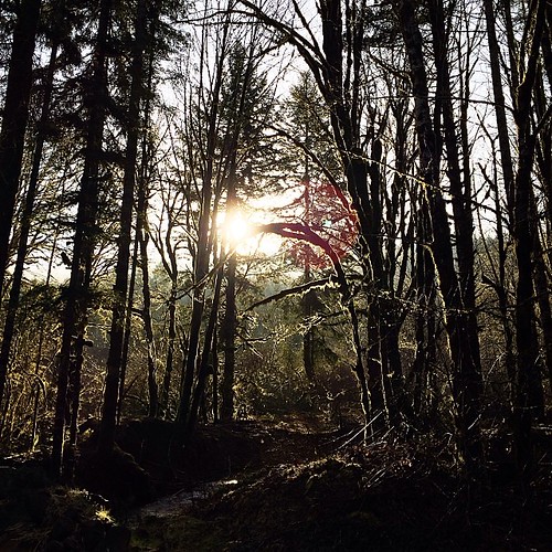
square squareformat iphoneography instagramapp uploaded:by=instagram foursquare:venue=503cf1c4e4b09af700ea5f44
☀️ #northwestisbest
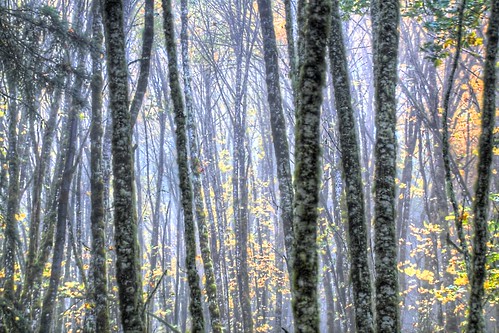
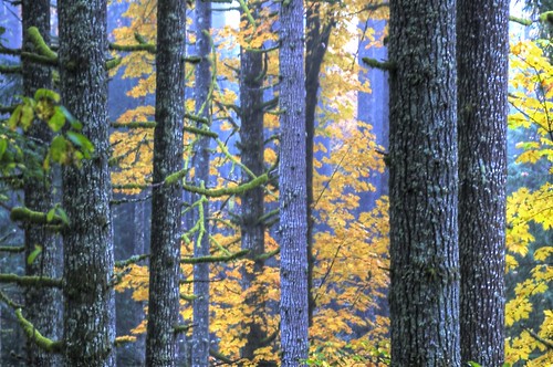
Fall Color 9
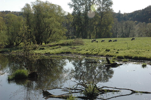
water beauty oregon upload pond scenic vernonia 20090618
dsc_0095.jpg
Coon creek
water beauty oregon upload pond scenic vernonia 20090618
dsc_0108.jpg
Fall Color 2
water beauty oregon upload pond scenic vernonia 20090618
dsc_0099.jpg
Stub Stewart State Park
Fall Color 2
Stub Stewart State Park
water beauty oregon upload pond scenic vernonia 20090618
dsc_0101.jpg
water beauty oregon upload pond scenic vernonia 20090618
dsc_0104.jpg
water beauty oregon upload pond scenic vernonia 20090618
dsc_0100.jpg
Stub Stewart State Park
Fall Color 10