Elevation of Columbia County, OR, USA
Location: United States > Oregon >
Longitude: -123.03572
Latitude: 45.9197103
Elevation: 440m / 1444feet
Barometric Pressure: 96KPa
Elevation Map:
Satellite Map:
Related Photos:
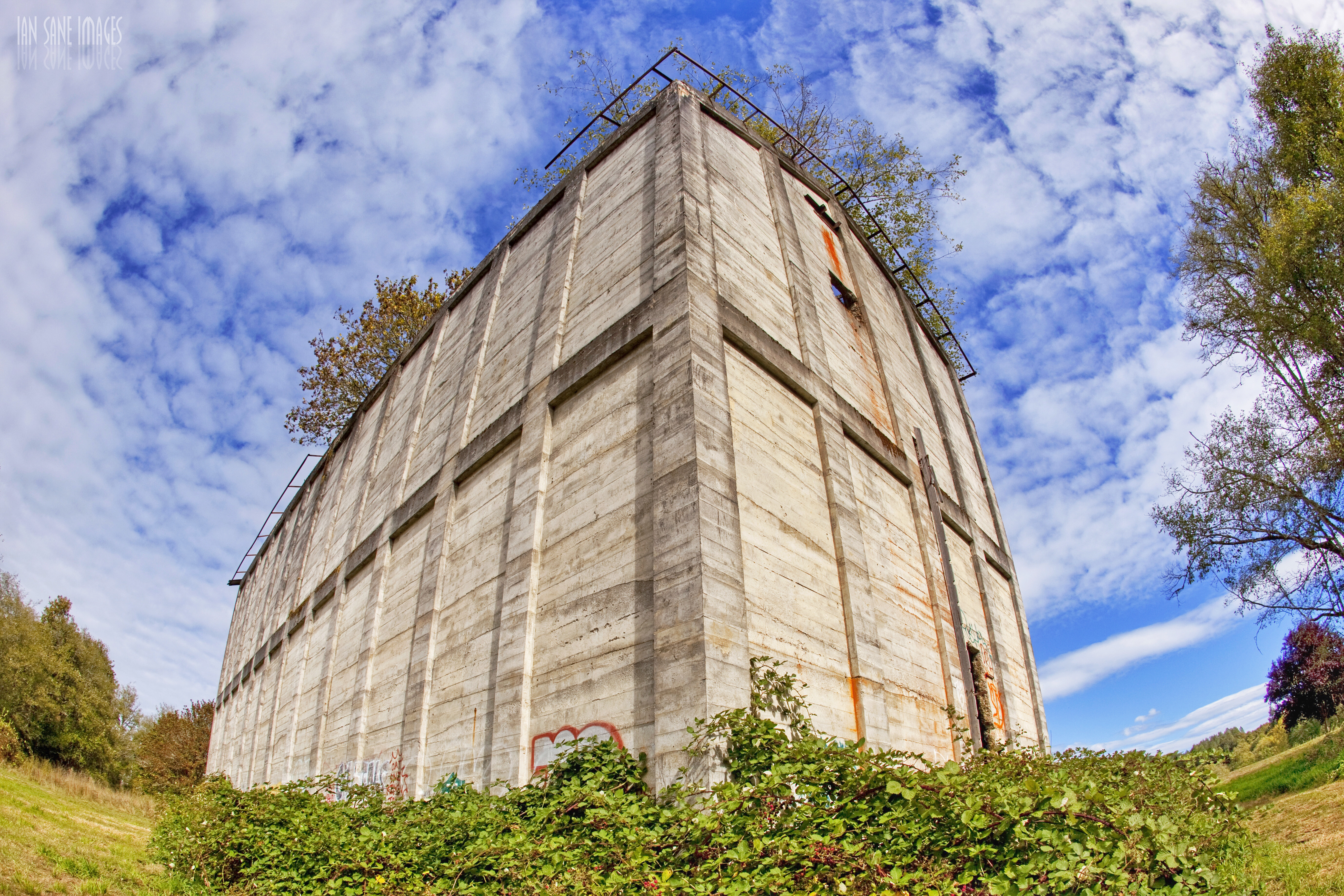
The White Cauldron
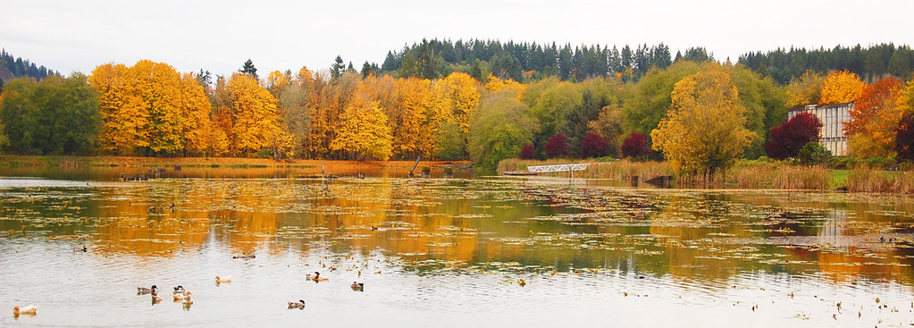
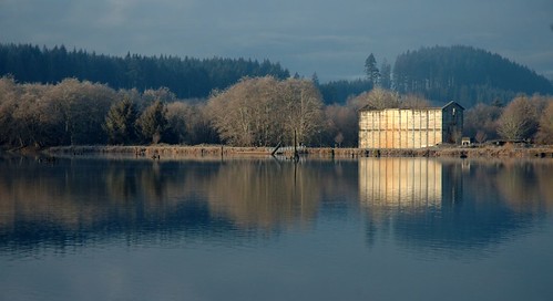
Vernonia Lake
Maybe a View Sometimes, Eastbound (2014)

Orion over Ruins

12-20-06 031

03-22-07 048
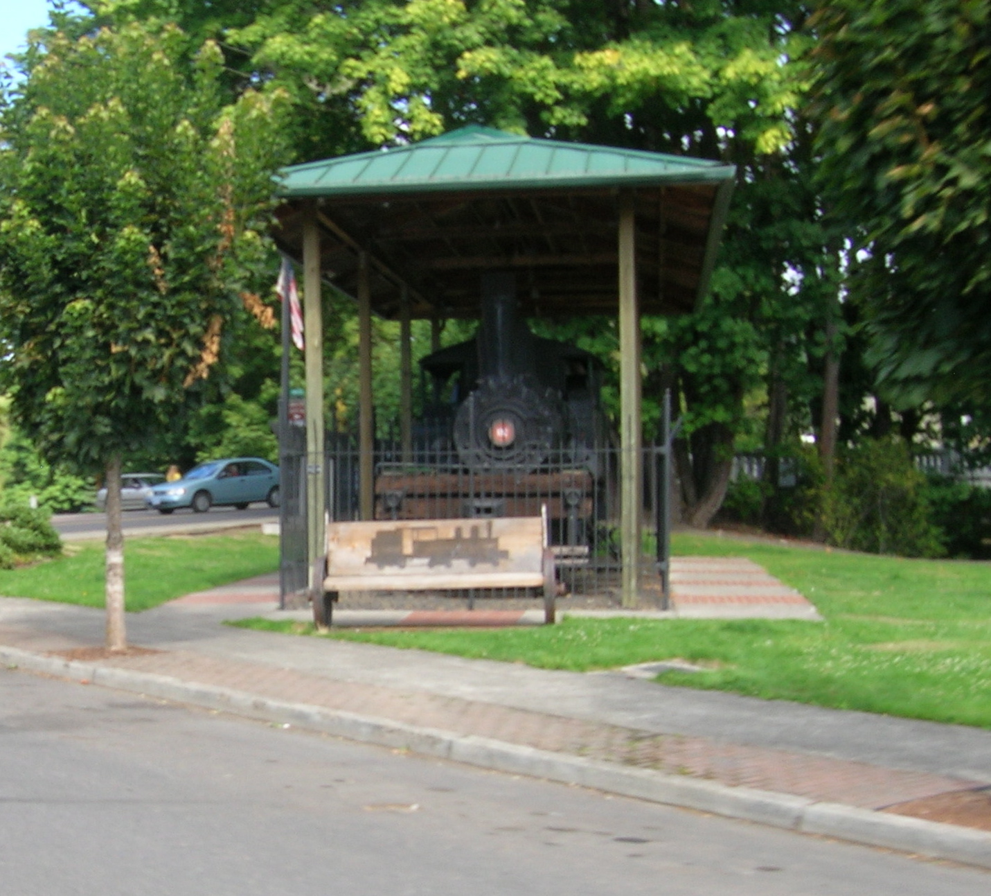
The Vernonia shay (front view)

#3
03-24-07 021
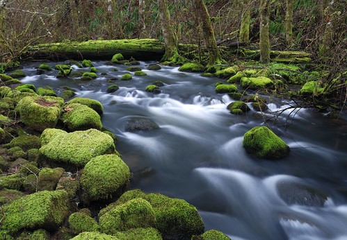
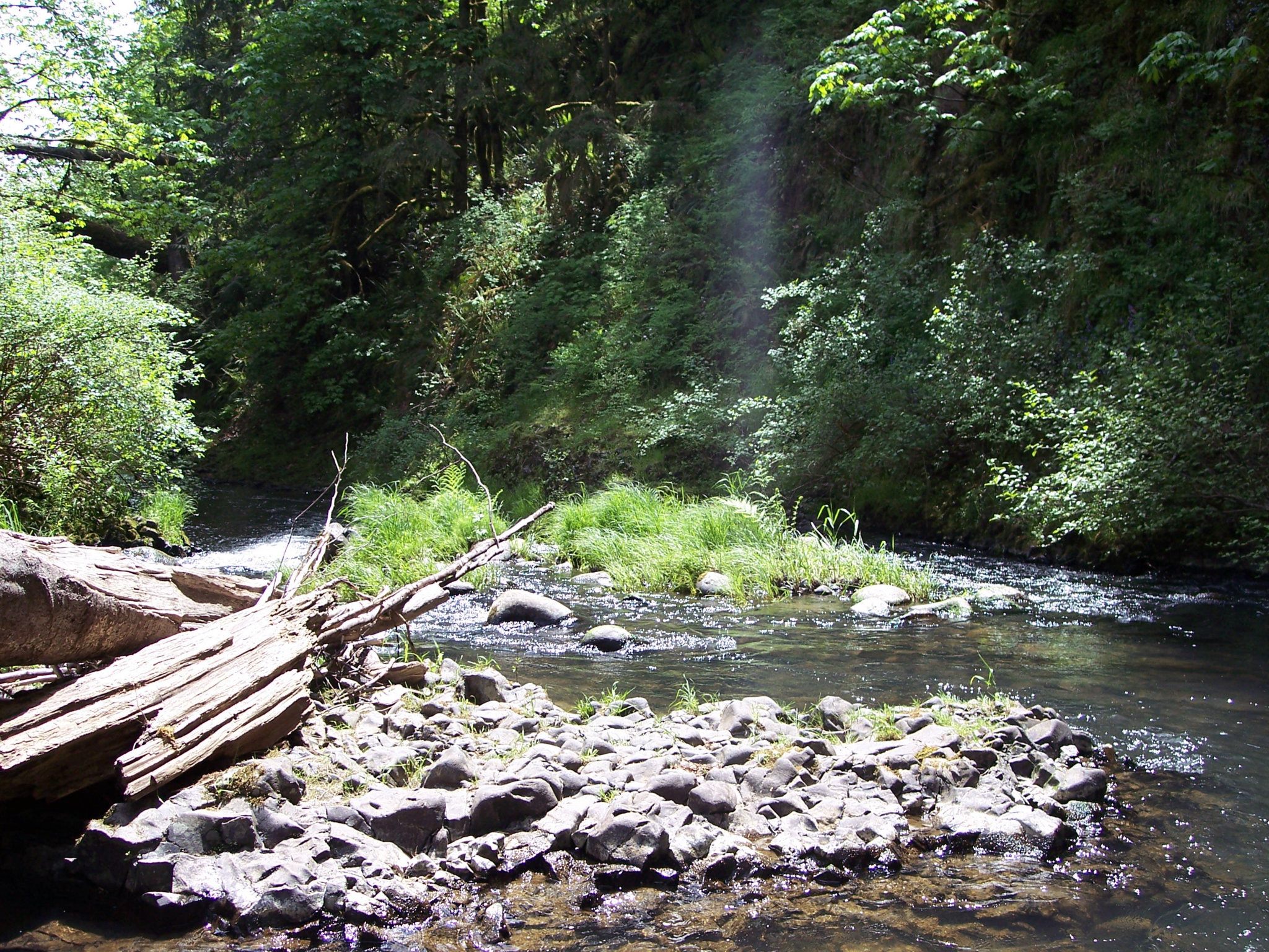
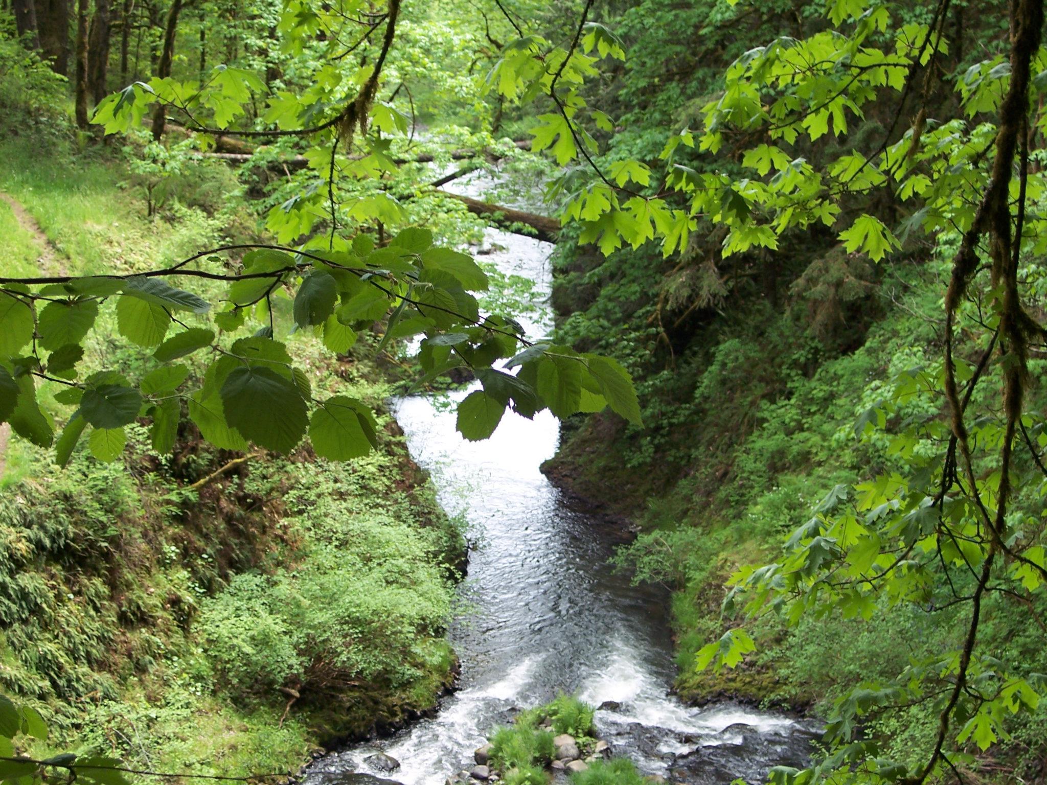
Coon creek

Coon creek
12-17-06 375
The Sunshine
Sunny day in St Helens

Caleb on shantae
Bonnie Falls
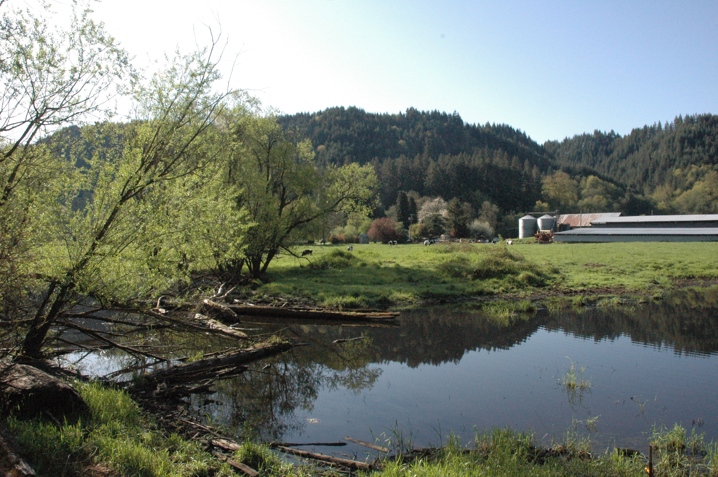
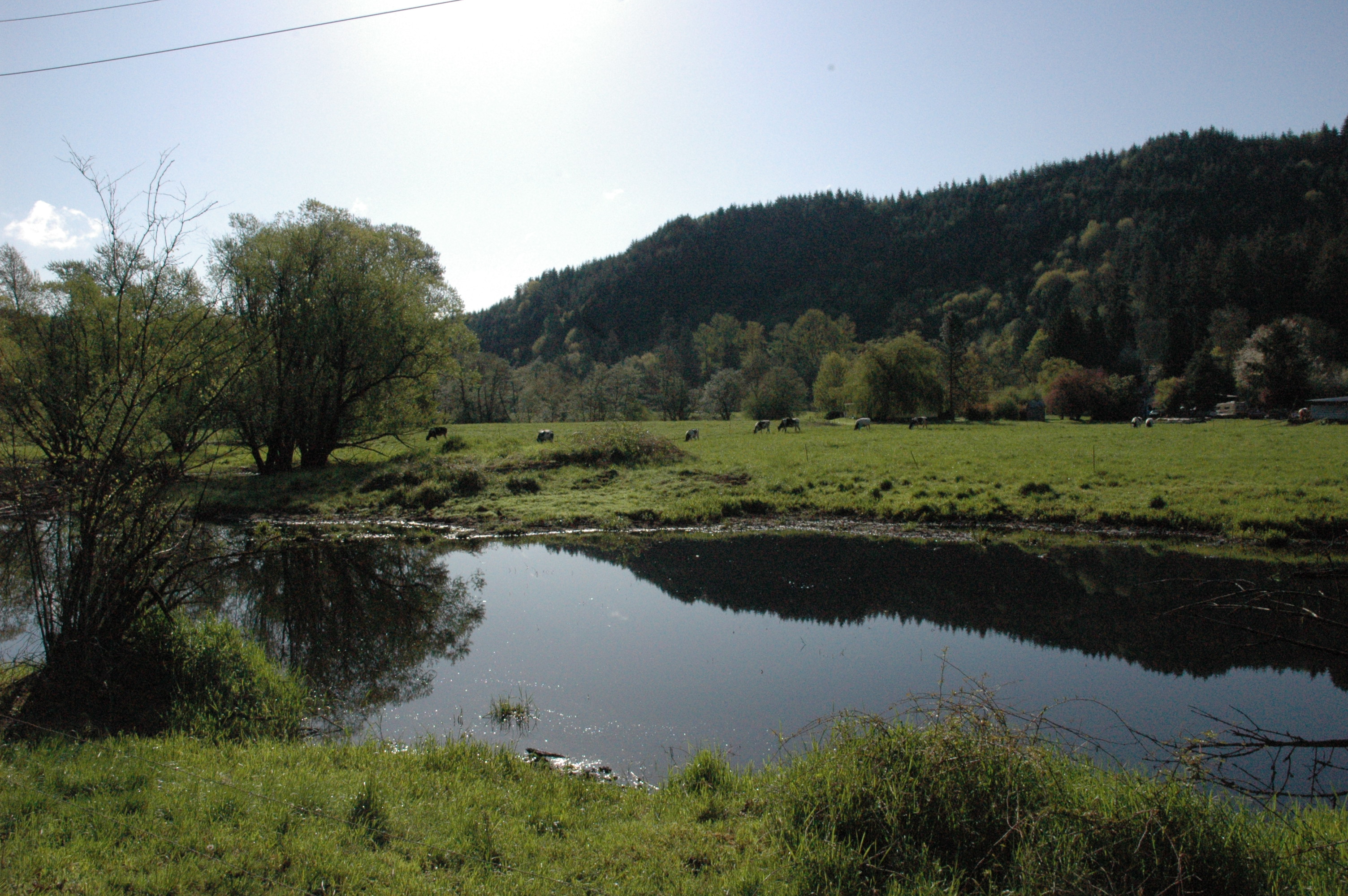
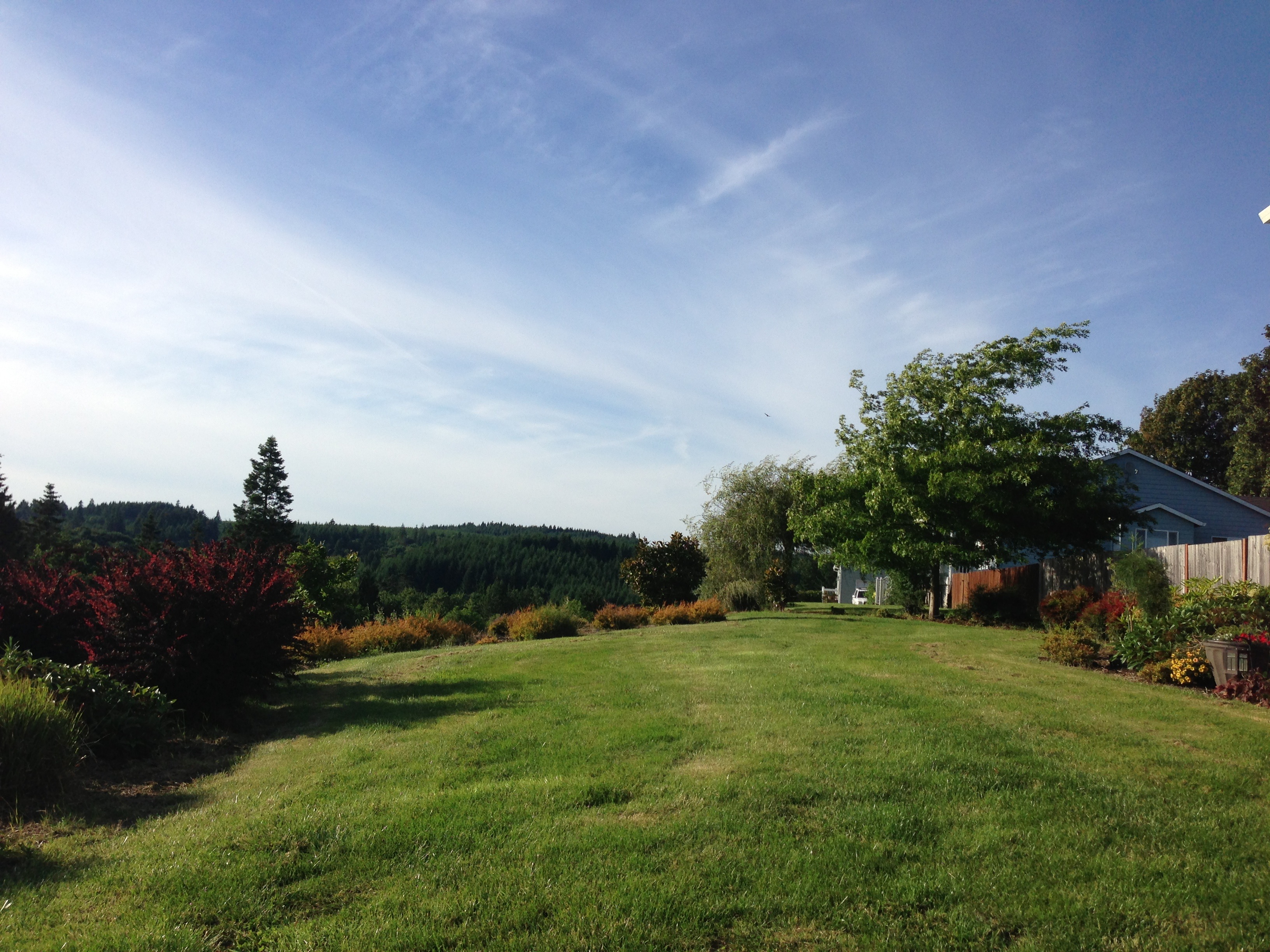
Dairy Farm
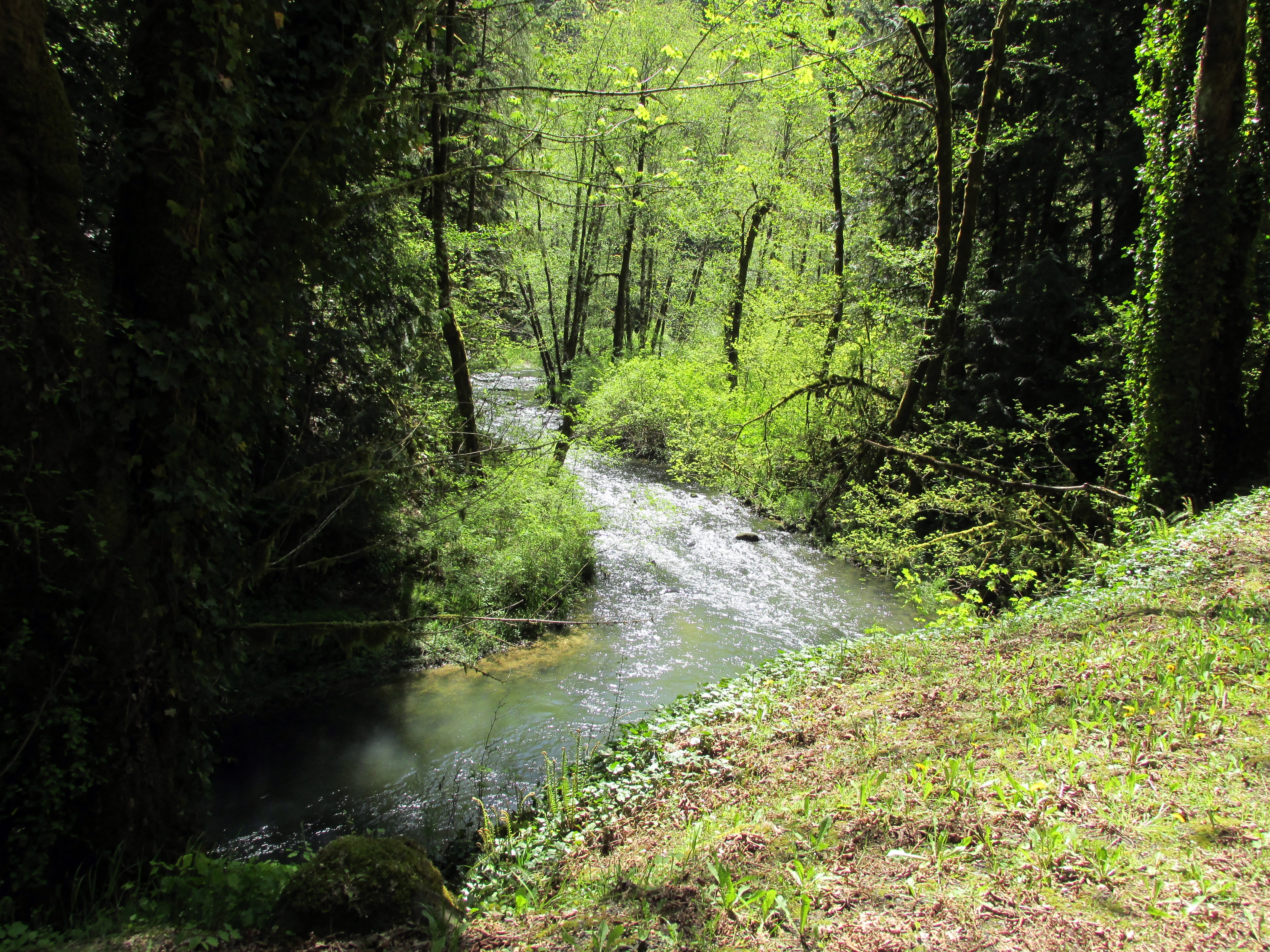
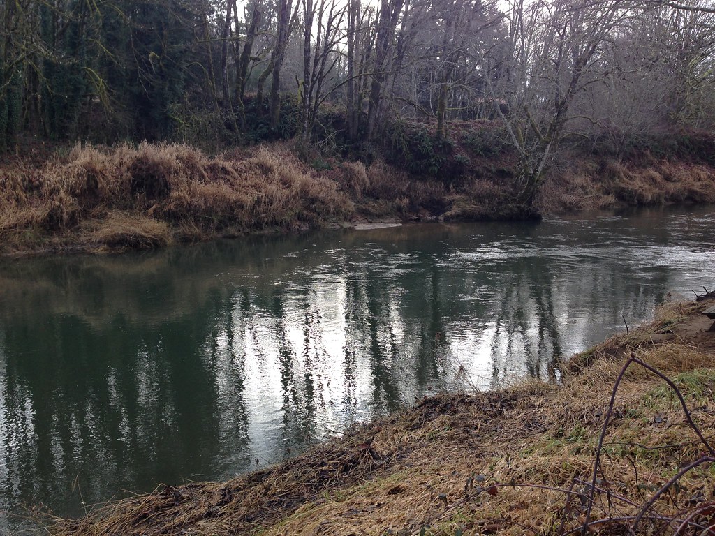
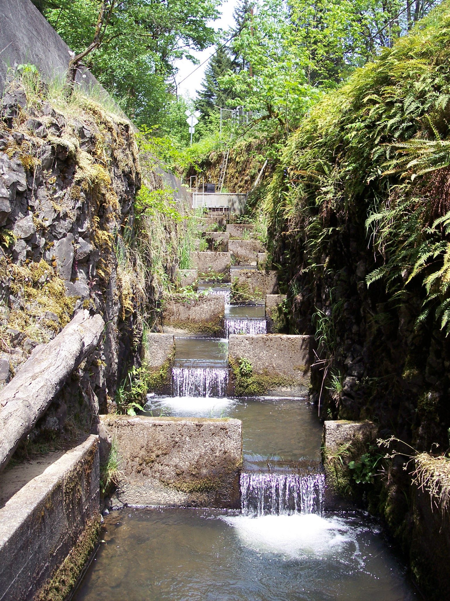
Scappoose Creek

Bonnie Falls
Bonnie Falls
Bonnie Falls
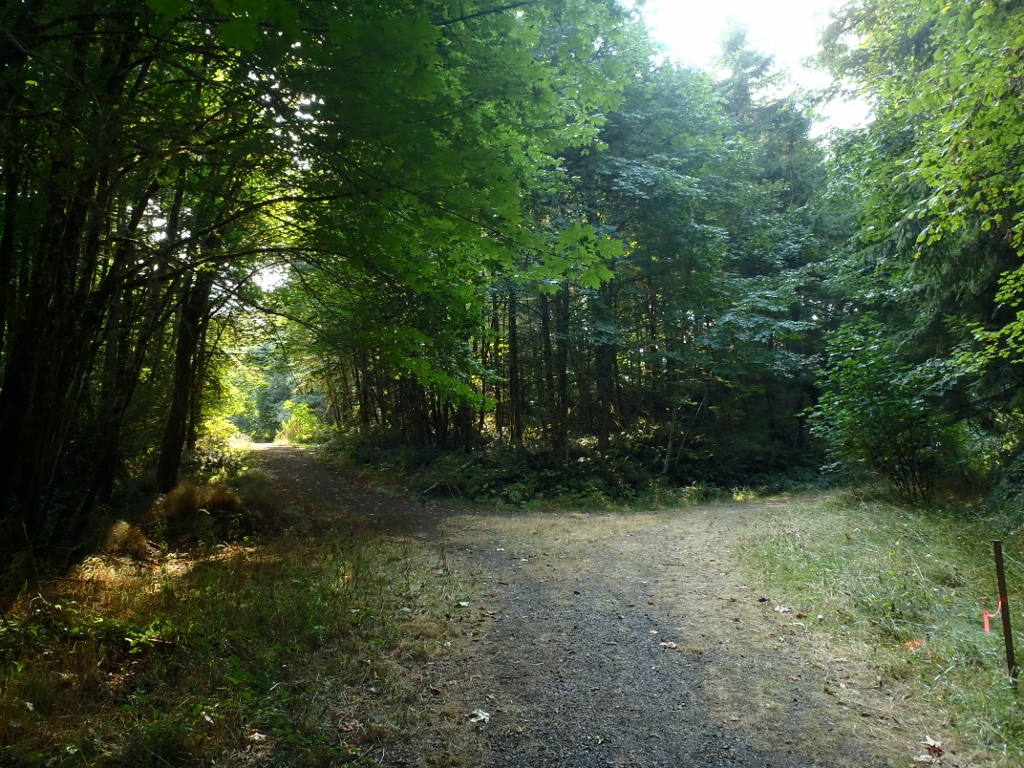
Trail split

Crown-Zellerbach Trail and Scappoose Creek.

Vernonia Lake with reflections

12-17-06 403

St. Helens, OR
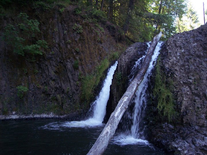
Bonnie Falls
On the Nehalem divide; the Columbia watershed is to my left, the Nehalem watershed is to my right
Topographic Map of Columbia County, OR, USA
Find elevation by address:

Places in Columbia County, OR, USA:
Rainier
Scappoose
Saint Helens
Clatskanie
Vernonia
Deer Island
Warren
N Vernonia Rd, St Helens, OR, USA
NW Sauvie Island Rd, Portland, OR, USA
NW Reeder Rd, Portland, OR, USA
Mist
Columbia City
Places near Columbia County, OR, USA:
67834 Carl Rd
25880 Forest View Dr
30180 Carrico Valley Rd
Carrico Valley Road
30990 Canaan Rd
29543 Barker Rd
68519 Barton Rd
32236 Canaan Rd
31515 Beaver Homes Rd
Maplecrest Road
72717 Beaver Springs Rd
67251 Maplecrest Rd
31150 Brownlee Rd
70640 Nick Thomas Rd
33165 Jacquish Rd
64835 Deer Island Heights
64835 Deer Island Heights
Columbia River Hwy, Deer Island, OR, USA
70373 Nicolai Rd
Deer Island
Recent Searches:
- Elevation of Corso Fratelli Cairoli, 35, Macerata MC, Italy
- Elevation of Tallevast Rd, Sarasota, FL, USA
- Elevation of 4th St E, Sonoma, CA, USA
- Elevation of Black Hollow Rd, Pennsdale, PA, USA
- Elevation of Oakland Ave, Williamsport, PA, USA
- Elevation of Pedrógão Grande, Portugal
- Elevation of Klee Dr, Martinsburg, WV, USA
- Elevation of Via Roma, Pieranica CR, Italy
- Elevation of Tavkvetili Mountain, Georgia
- Elevation of Hartfords Bluff Cir, Mt Pleasant, SC, USA