Elevation of Keasey Rd, Vernonia, OR, USA
Location: United States > Oregon > Columbia County > Vernonia >
Longitude: -123.32167
Latitude: 45.871993
Elevation: 239m / 784feet
Barometric Pressure: 98KPa
Elevation Map:
Satellite Map:
Related Photos:

Fall adventure tunel

Fire in the Mill

Pick a Star ... make a wish

The White Cauldron
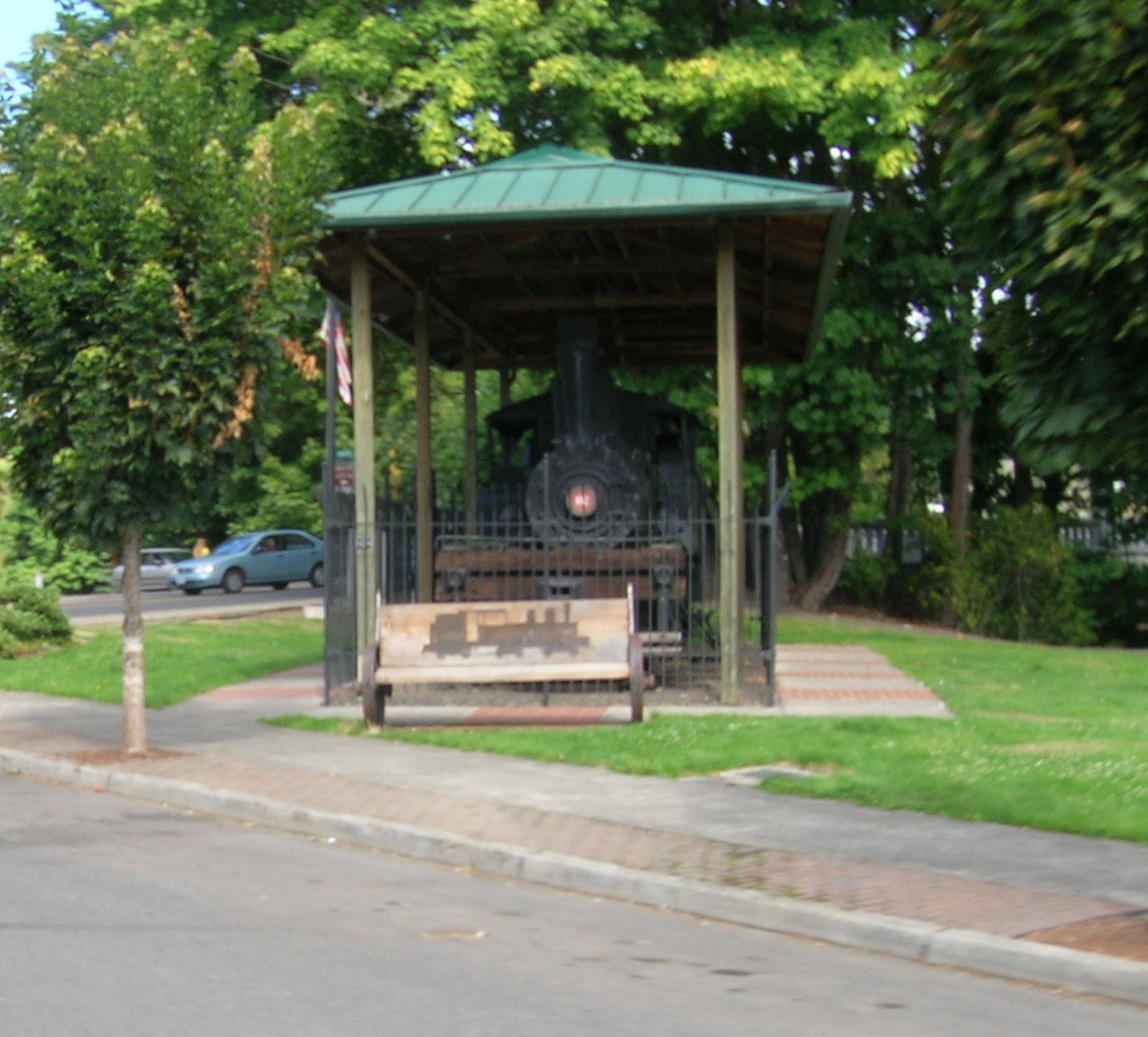
The Vernonia shay (front view)
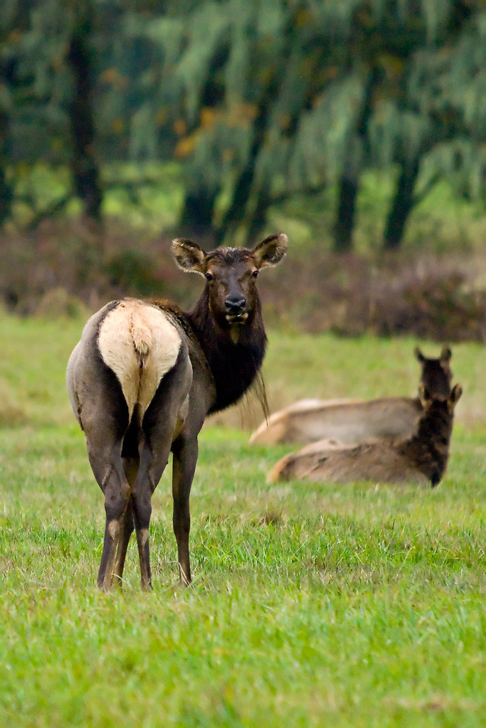
Roosevelt elk in October

Scenic Overlook Ahead
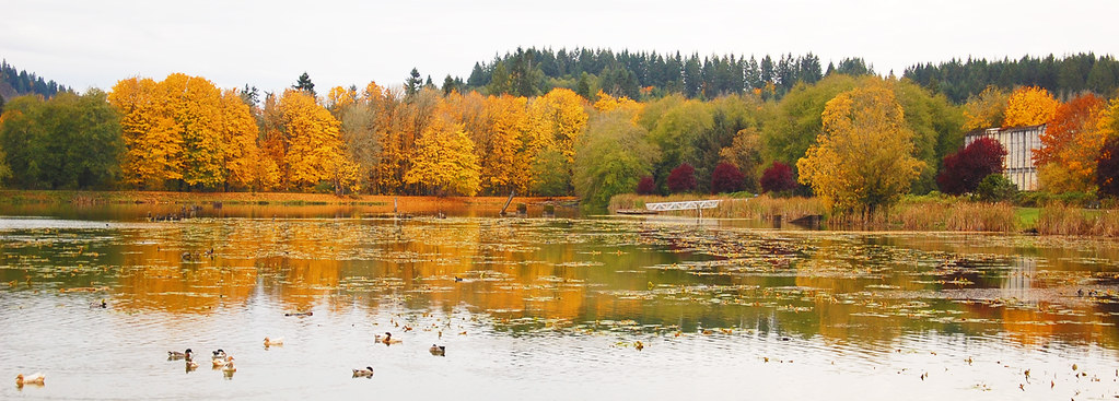
Vernonia Lake
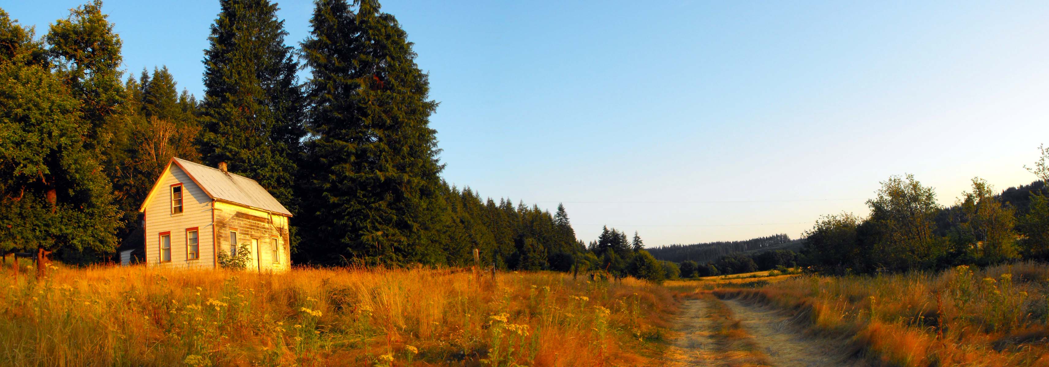
Farm House in Oregon

Orion over Ruins

Mountain View

12-20-06 031

03-22-07 048

mount st helens from us 26

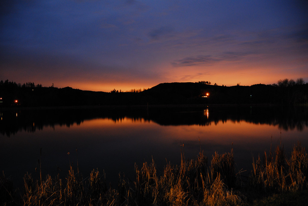
Vernonia Lake Sunset

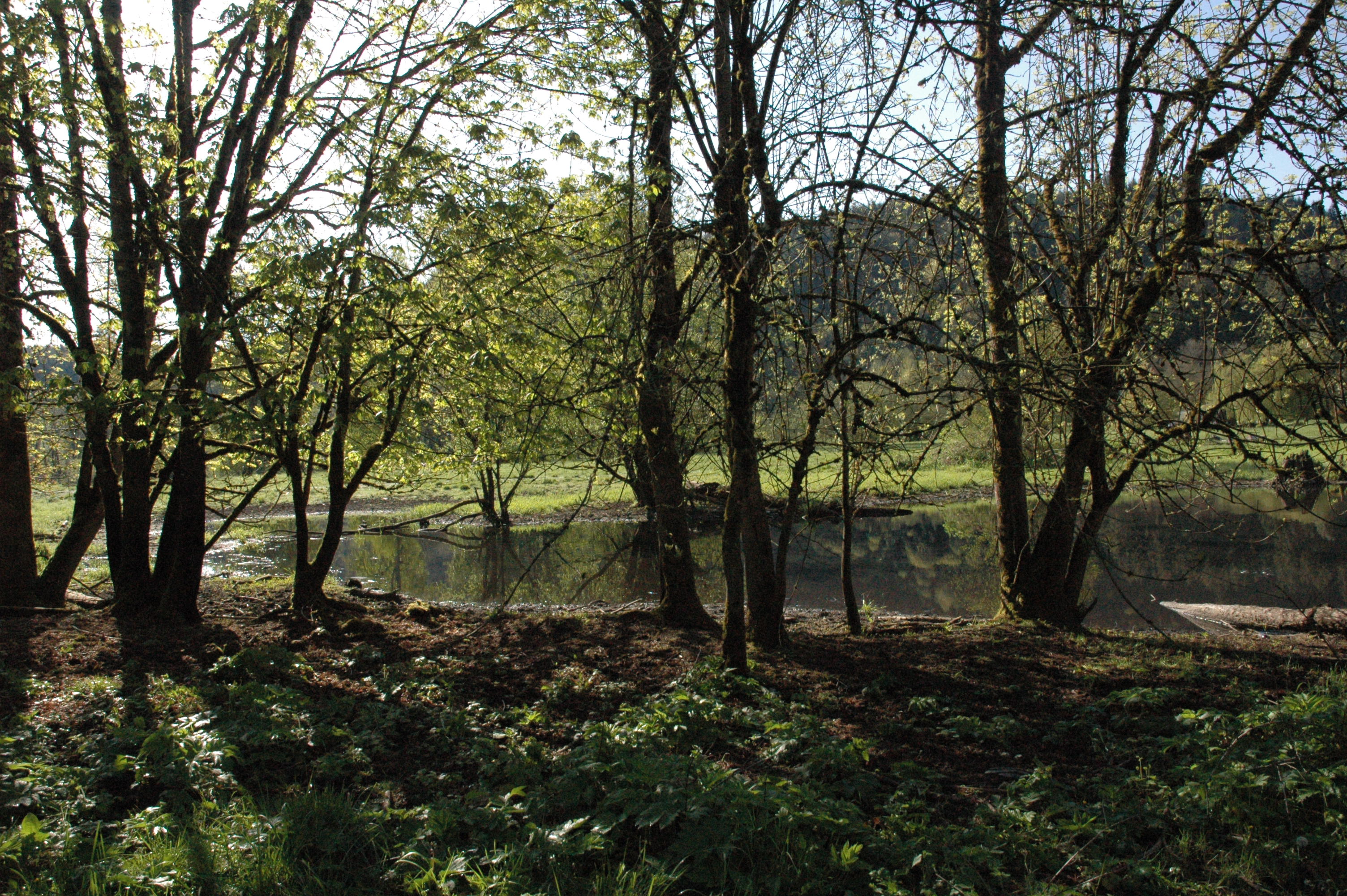
Coon creek

Coon creek

A deer walked by (Nehalem River)

Vernonia Lake with reflections

Out and About

☀️ #northwestisbest

vacation 005
Sun through Trees

Road 2

The Sunshine

Clatskanie Cow

Field Pan

Dairy Farm
Mc Gregor Rd. Pano
We Live Here!

Parking Area on the Sunset Highway
Dark Horizons
Topographic Map of Keasey Rd, Vernonia, OR, USA
Find elevation by address:

Places near Keasey Rd, Vernonia, OR, USA:
Keasey Rd, Vernonia, OR, USA
58802 Kirk Rd
16606 Keasey Rd
55275 Timber Rd
Bridge St, Vernonia, OR, USA
1874 Bridge St
17888 Noakes Rd
866 Bridge St
Vernonia
208 North St
1282 Louisiana Ave
Pebble Creek Road
635 Lakeview Dr
1164 E Douglas St
1567 Heather Ln
Timber
1426 E Alder St
1462 E Alder St
Top Hill Trail Vernonia / Banks Trail
29195 Nw Nowakowski Rd
Recent Searches:
- Elevation of Corso Fratelli Cairoli, 35, Macerata MC, Italy
- Elevation of Tallevast Rd, Sarasota, FL, USA
- Elevation of 4th St E, Sonoma, CA, USA
- Elevation of Black Hollow Rd, Pennsdale, PA, USA
- Elevation of Oakland Ave, Williamsport, PA, USA
- Elevation of Pedrógão Grande, Portugal
- Elevation of Klee Dr, Martinsburg, WV, USA
- Elevation of Via Roma, Pieranica CR, Italy
- Elevation of Tavkvetili Mountain, Georgia
- Elevation of Hartfords Bluff Cir, Mt Pleasant, SC, USA