Elevation of Boynton Cutoff Rd, Vernon, FL, USA
Location: United States > Florida > Washington County > Vernon >
Longitude: -85.87145
Latitude: 30.528484
Elevation: 6m / 20feet
Barometric Pressure: 101KPa
Elevation Map:
Satellite Map:
Related Photos:

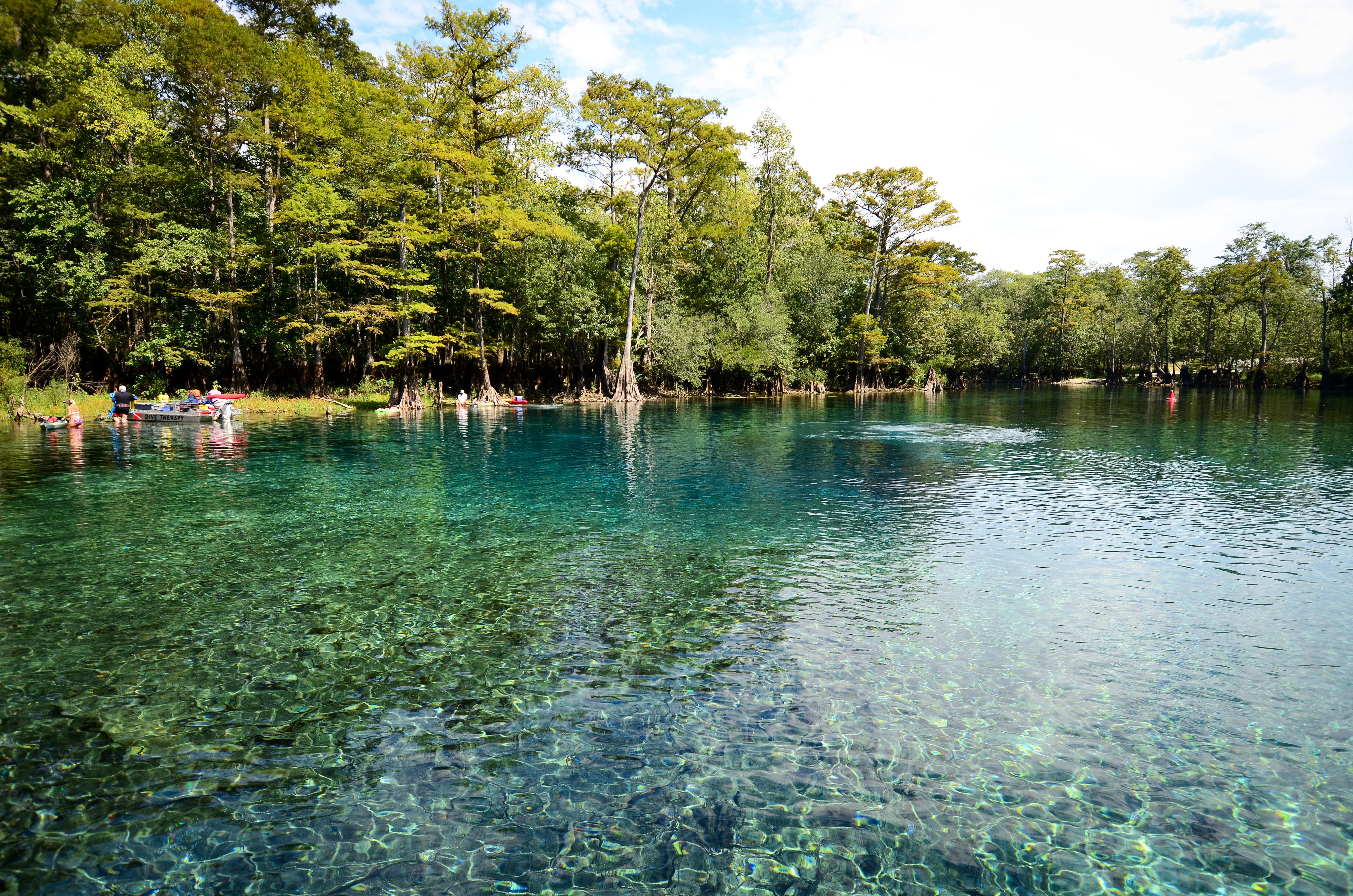
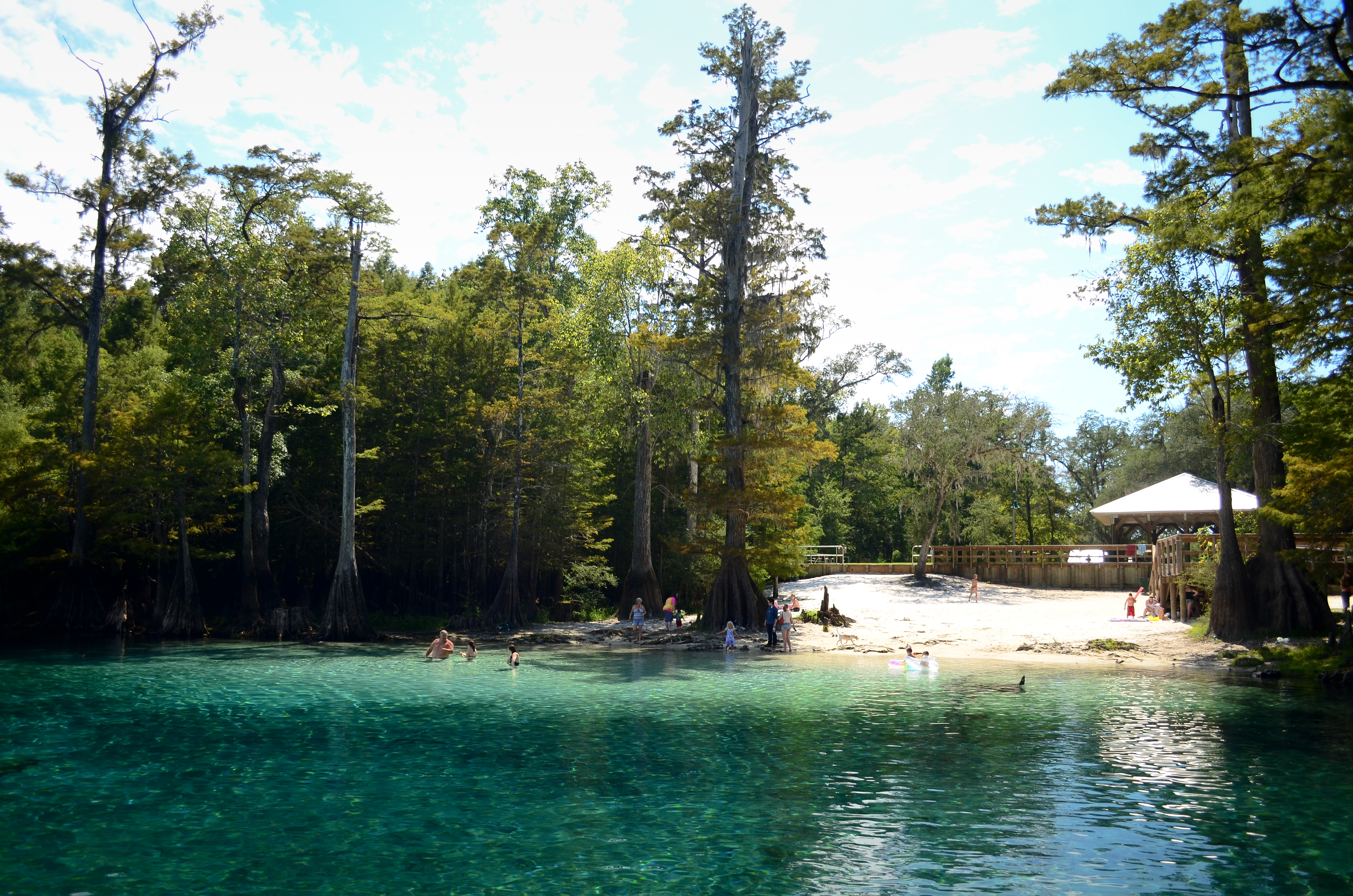
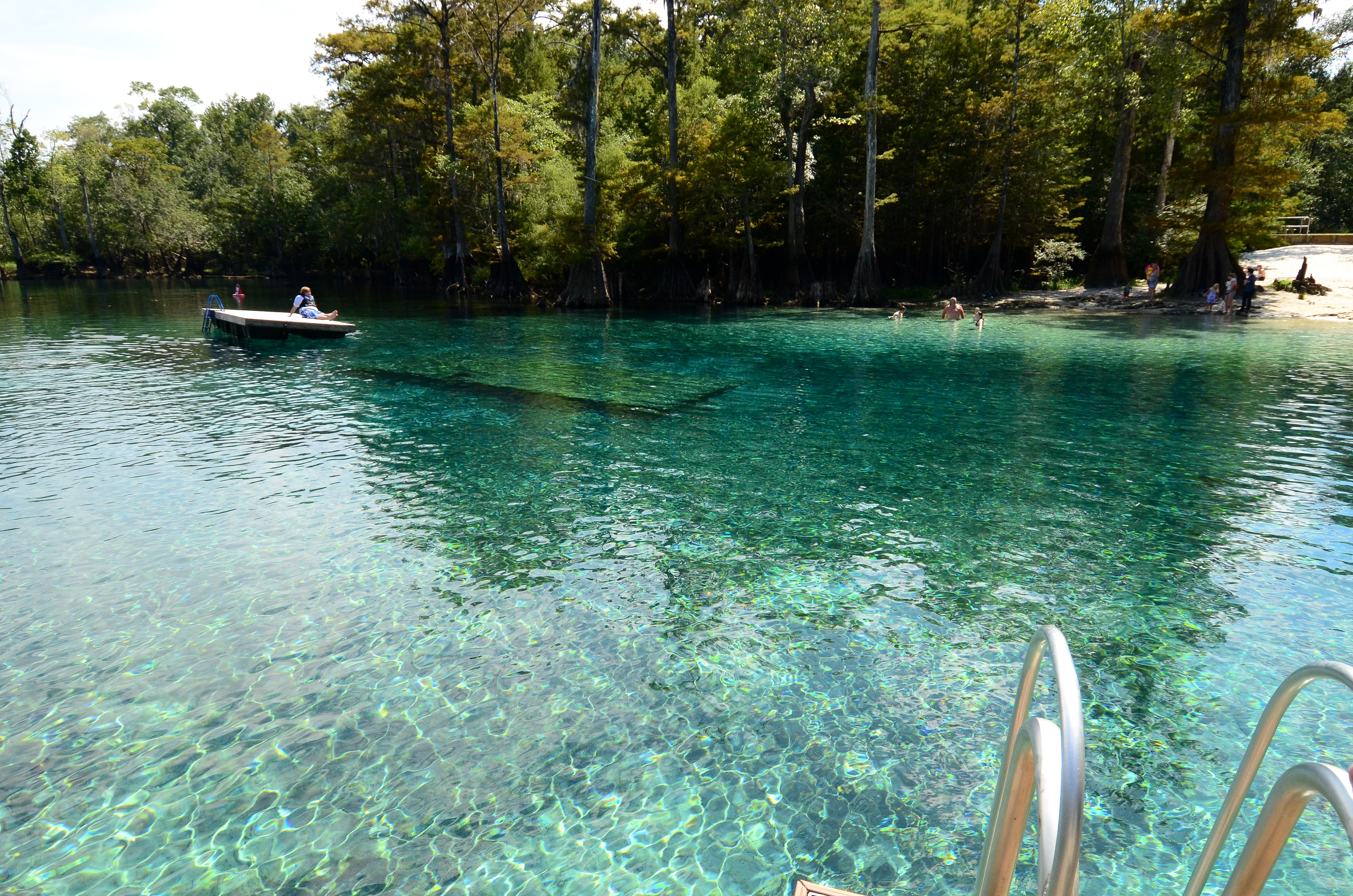
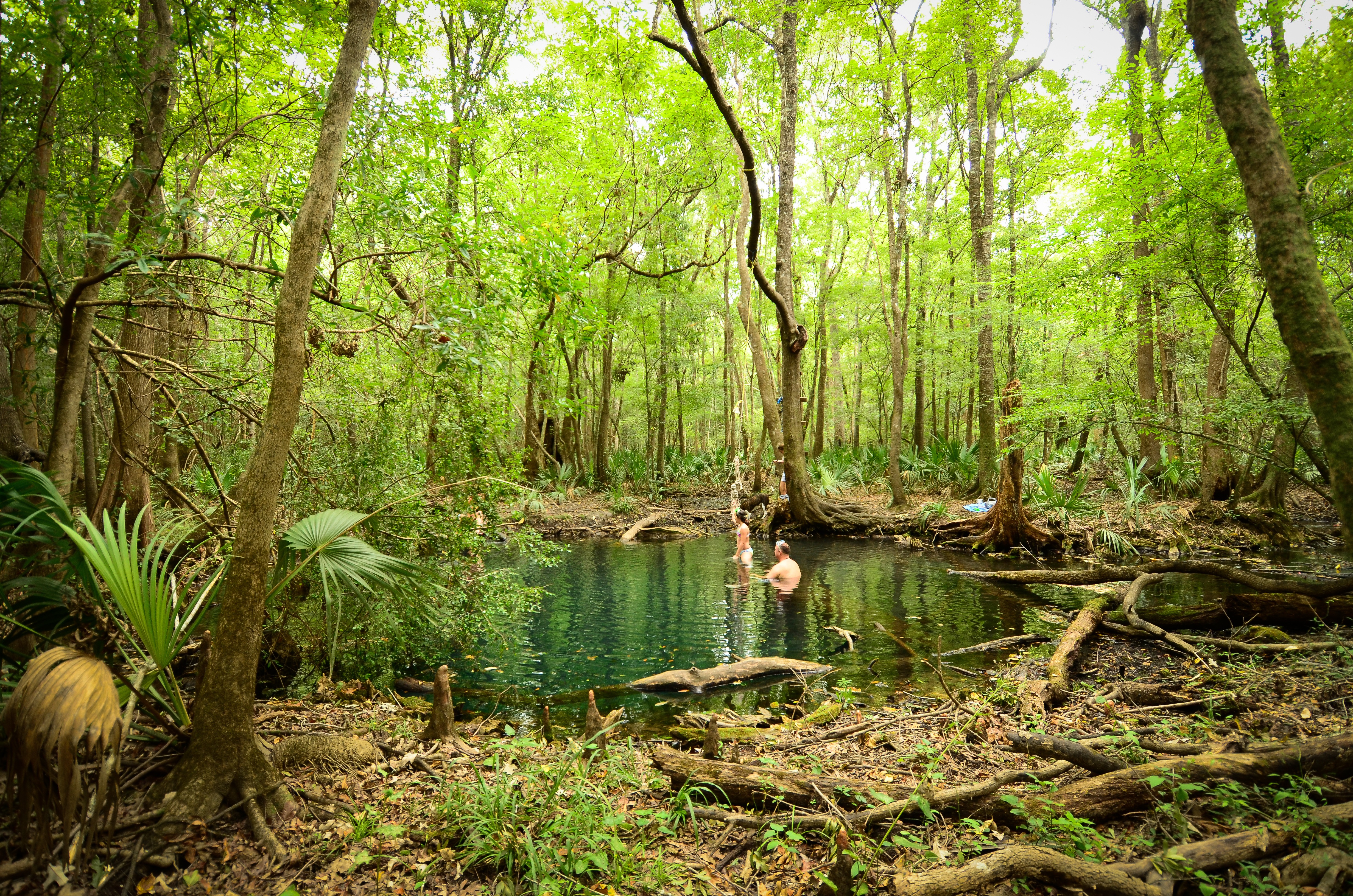
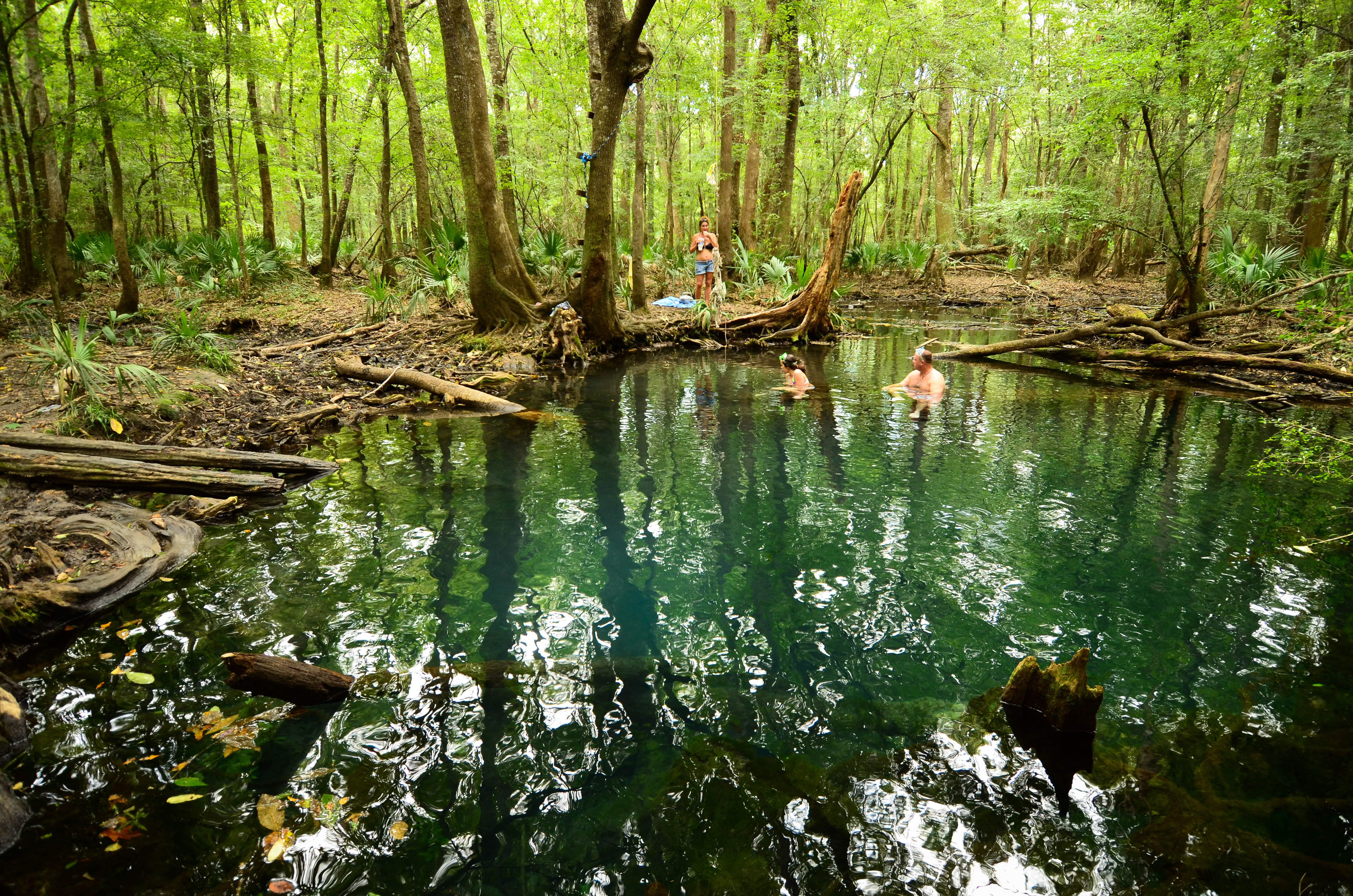
Hightower Springs. Holmes Creek. Washington County FL

Peripheral Vision
Afternoon Spring Boil

Open Water
Morrison Spring Beach
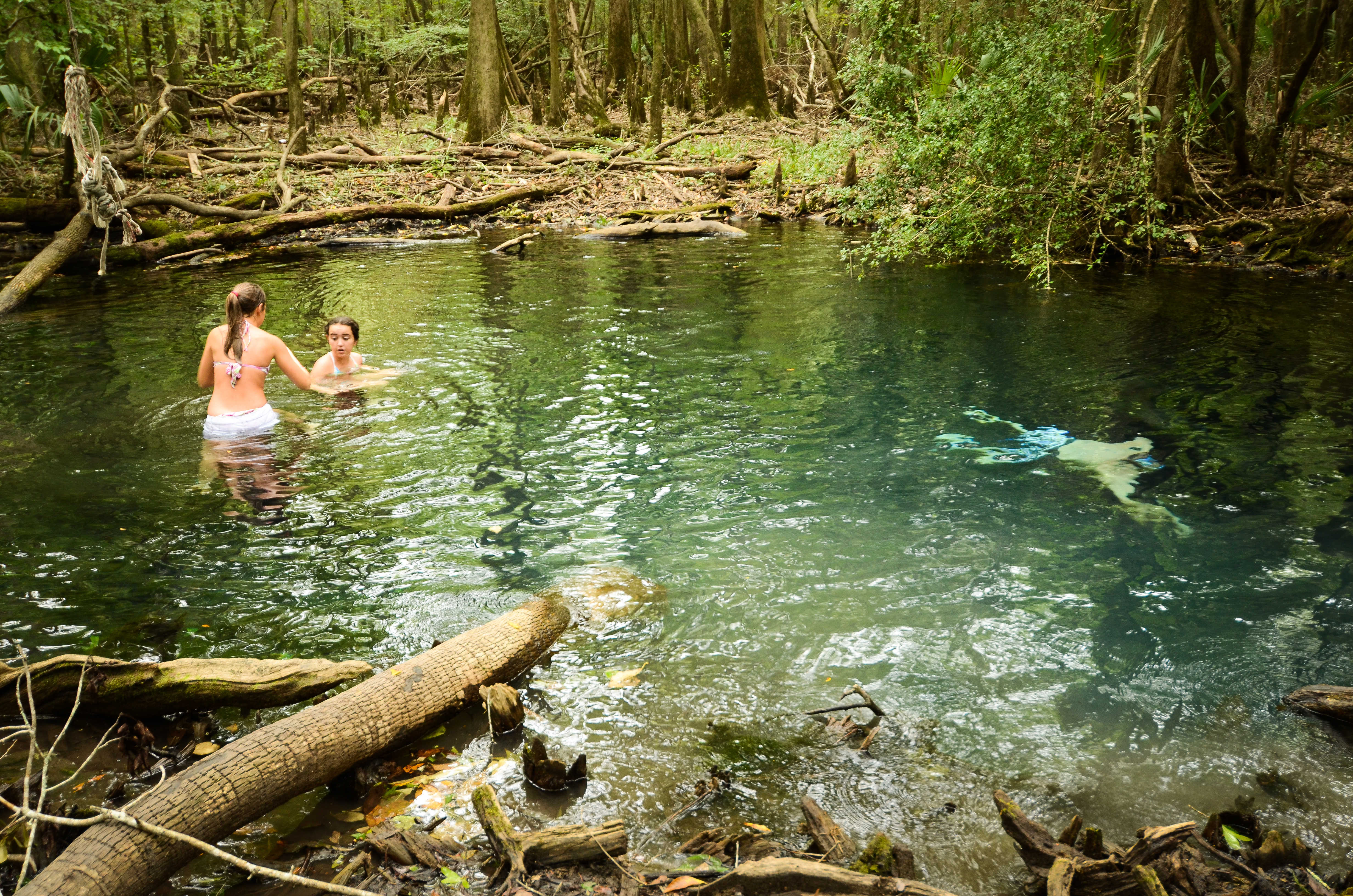
Into the Pool
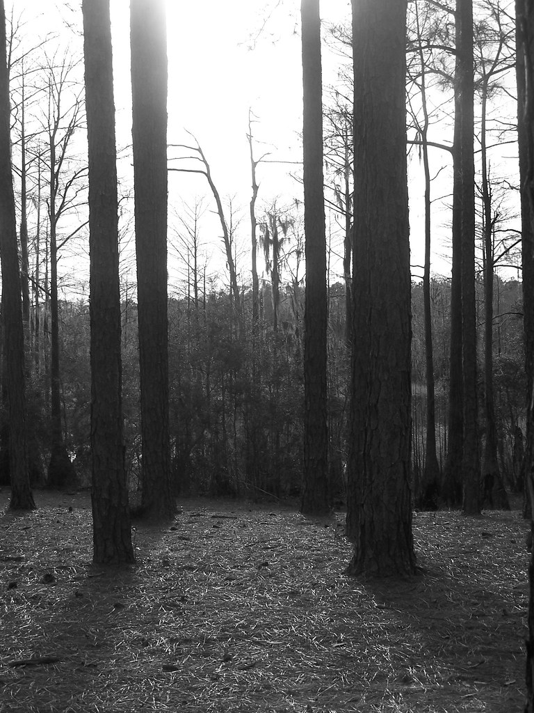
Cypress Pond

No-Polarizer Sand Boils

Spring Wide

Other Side of the Pool
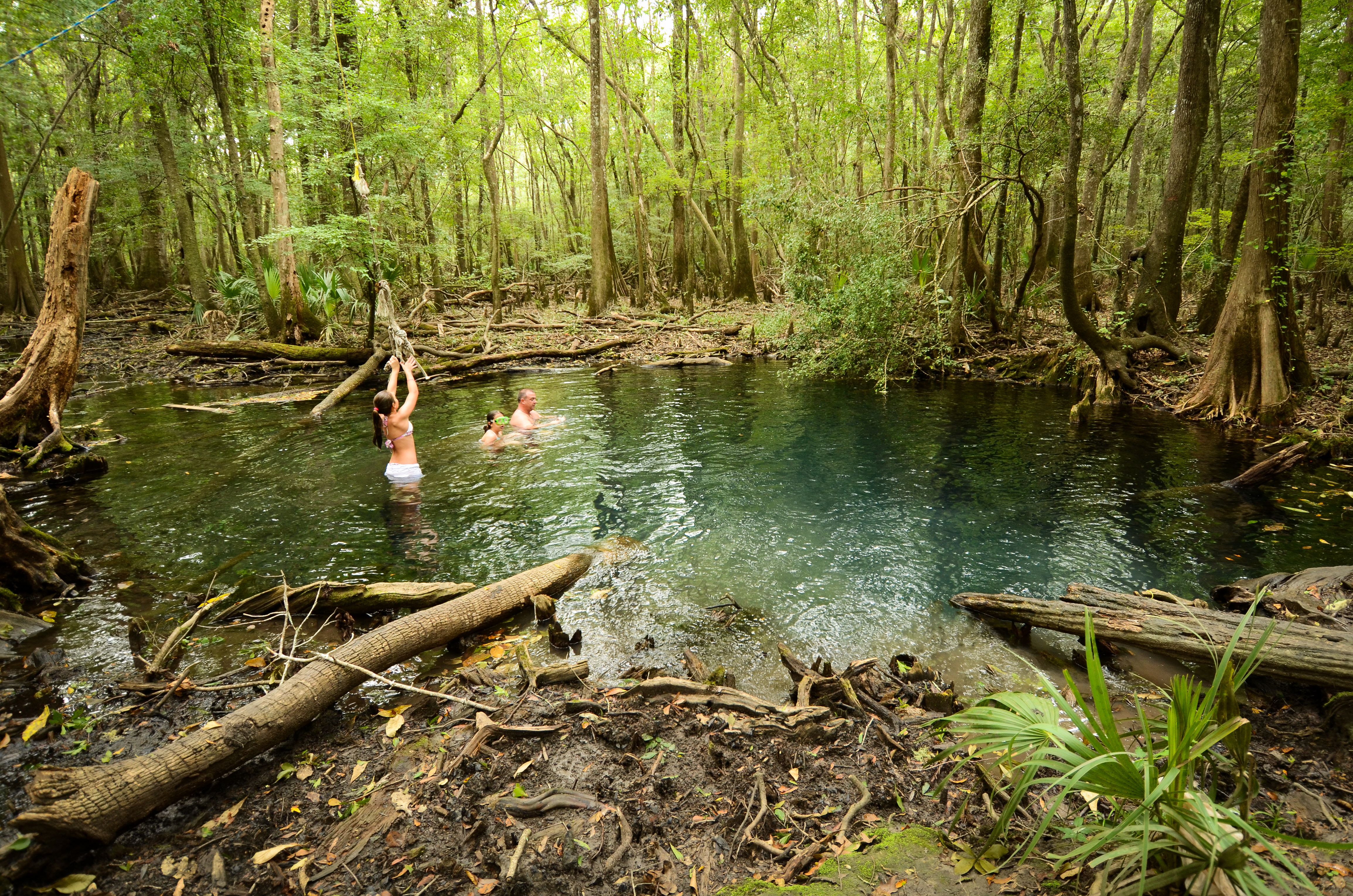
Rope Swing Wide
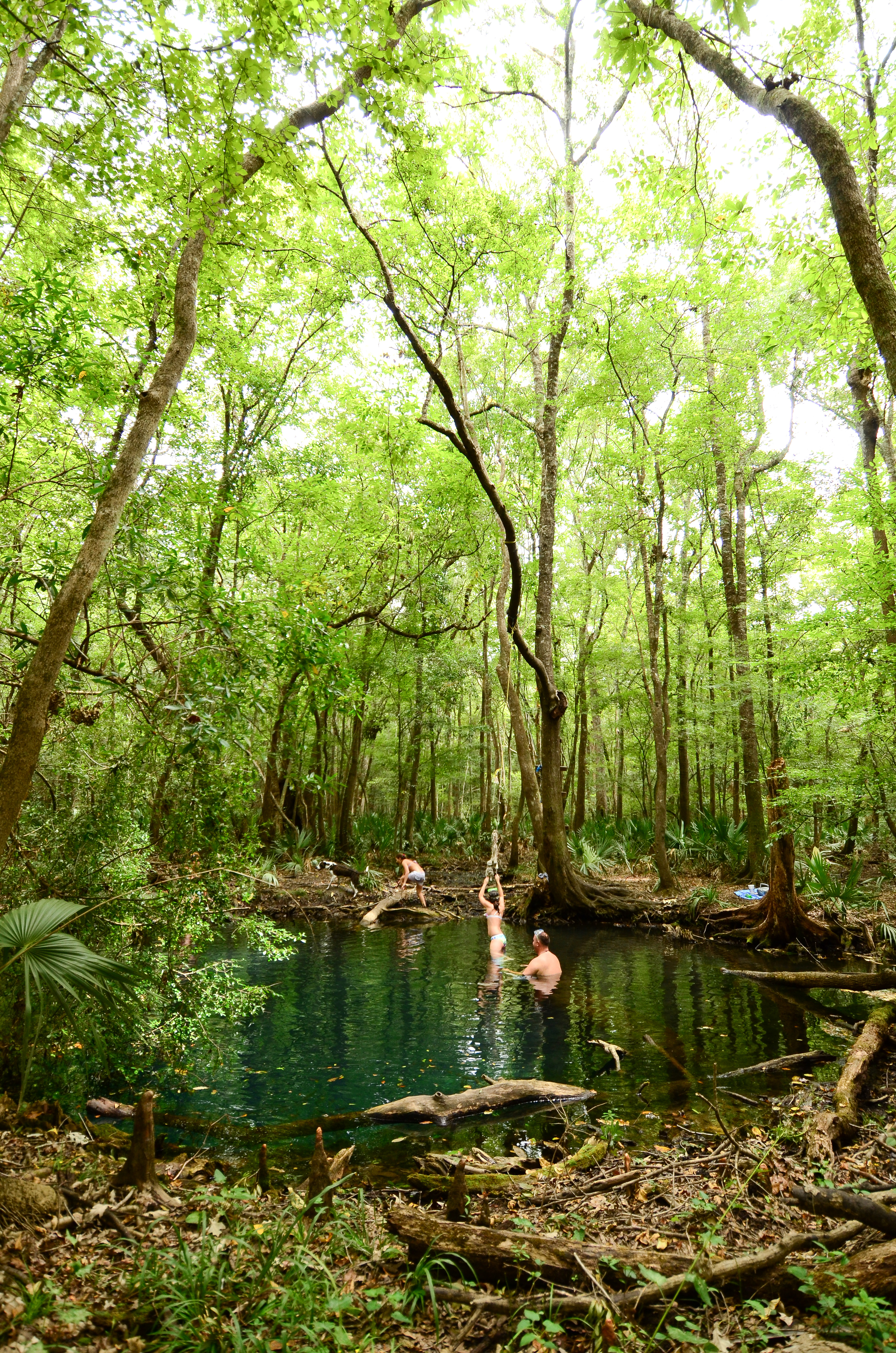
Spring in the Woods

The River Landing
It's Clear, I Swear
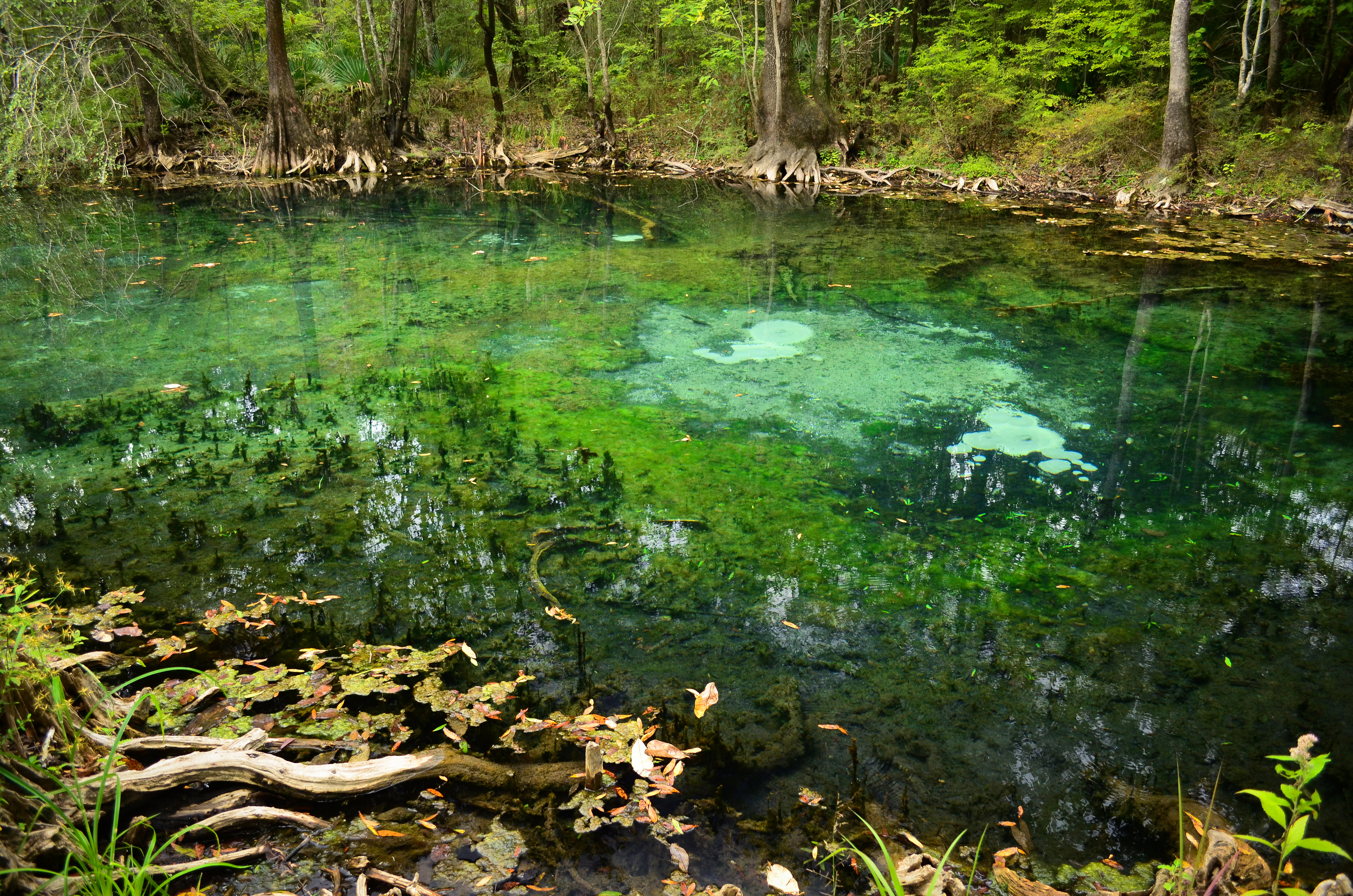
Hightower Springs Sand Boils
In the Middle of Nowhere
Dark and Cloudy
Topographic Map of Boynton Cutoff Rd, Vernon, FL, USA
Find elevation by address:

Places near Boynton Cutoff Rd, Vernon, FL, USA:
FL-79, Vernon, FL, USA
Summer House Road
Millers Ferry Rd, Vernon, FL, USA
Cedar Tree Ld Rd, Ebro, FL, USA
70 River Loop Rd
Ebro
Ponce De Leon, FL, USA
Bruce
FL-20, Bruce, FL, USA
Pine Log State Forest
242 Rooks Bluff Rd
260 Brushed Dunes Cir
751 Brushed Dunes Cir
140 Double Eagle Ct
245 Coastal Breeze Dr
Windswept Dunes
45 Club House Dr W
486 Coastal Breeze Dr
Joe Dugger Road
90 Phillips Dr
Recent Searches:
- Elevation of Corso Fratelli Cairoli, 35, Macerata MC, Italy
- Elevation of Tallevast Rd, Sarasota, FL, USA
- Elevation of 4th St E, Sonoma, CA, USA
- Elevation of Black Hollow Rd, Pennsdale, PA, USA
- Elevation of Oakland Ave, Williamsport, PA, USA
- Elevation of Pedrógão Grande, Portugal
- Elevation of Klee Dr, Martinsburg, WV, USA
- Elevation of Via Roma, Pieranica CR, Italy
- Elevation of Tavkvetili Mountain, Georgia
- Elevation of Hartfords Bluff Cir, Mt Pleasant, SC, USA