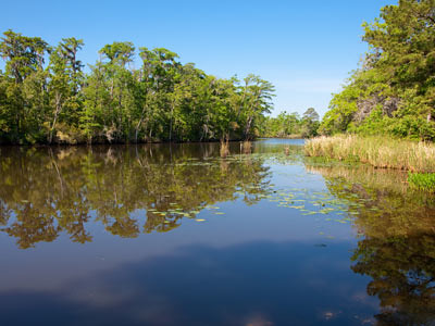
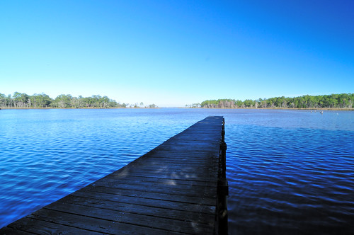
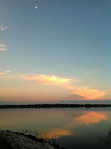
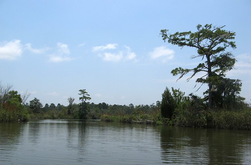
Elevation of Coastal Breeze Dr, Freeport, FL, USA
Location: United States > Florida > Walton County > Freeport >
Longitude: -86.038558
Latitude: 30.49995
Elevation: 31m / 102feet
Barometric Pressure: 101KPa
Related Photos:
Topographic Map of Coastal Breeze Dr, Freeport, FL, USA
Find elevation by address:

Places near Coastal Breeze Dr, Freeport, FL, USA:
245 Coastal Breeze Dr
751 Brushed Dunes Cir
140 Double Eagle Ct
Windswept Dunes
45 Club House Dr W
260 Brushed Dunes Cir
Joe Dugger Road
3120 Fl-20
90 Phillips Dr
96 Orchid Ln
272 Fisherman's Run E
244 Fisherman's Run E
216 Fisherman's Run E
226 Fisherman's Run E
127 Fisherman's Run E
3 Edgewater Dr
65 Edgewater Dr
FL-20, Bruce, FL, USA
Bruce
1232 Fl-20
Recent Searches:
- Elevation of Corso Fratelli Cairoli, 35, Macerata MC, Italy
- Elevation of Tallevast Rd, Sarasota, FL, USA
- Elevation of 4th St E, Sonoma, CA, USA
- Elevation of Black Hollow Rd, Pennsdale, PA, USA
- Elevation of Oakland Ave, Williamsport, PA, USA
- Elevation of Pedrógão Grande, Portugal
- Elevation of Klee Dr, Martinsburg, WV, USA
- Elevation of Via Roma, Pieranica CR, Italy
- Elevation of Tavkvetili Mountain, Georgia
- Elevation of Hartfords Bluff Cir, Mt Pleasant, SC, USA

