Elevation of Brushed Dunes Cir, Freeport, FL, USA
Location: United States > Florida > Walton County > Freeport >
Longitude: -86.024131
Latitude: 30.4934564
Elevation: 31m / 102feet
Barometric Pressure: 101KPa
Elevation Map:
Satellite Map:
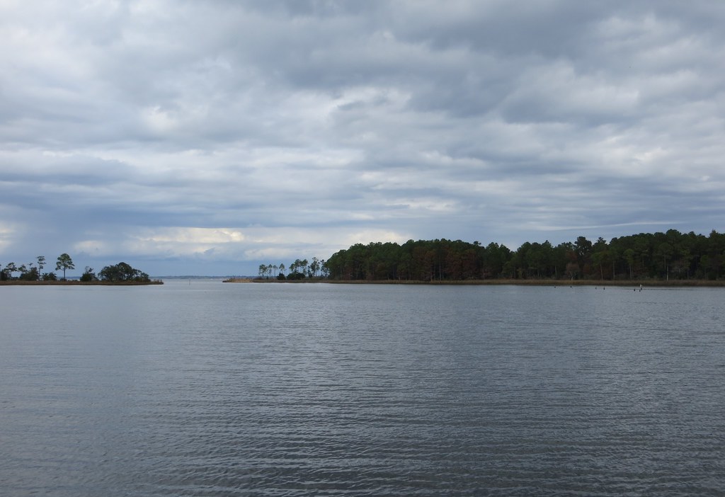
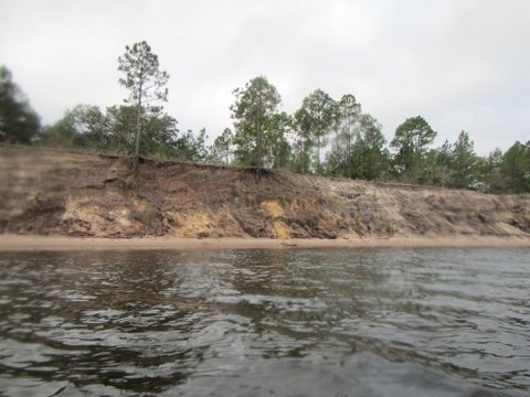
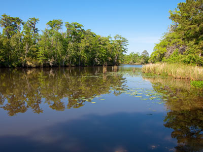
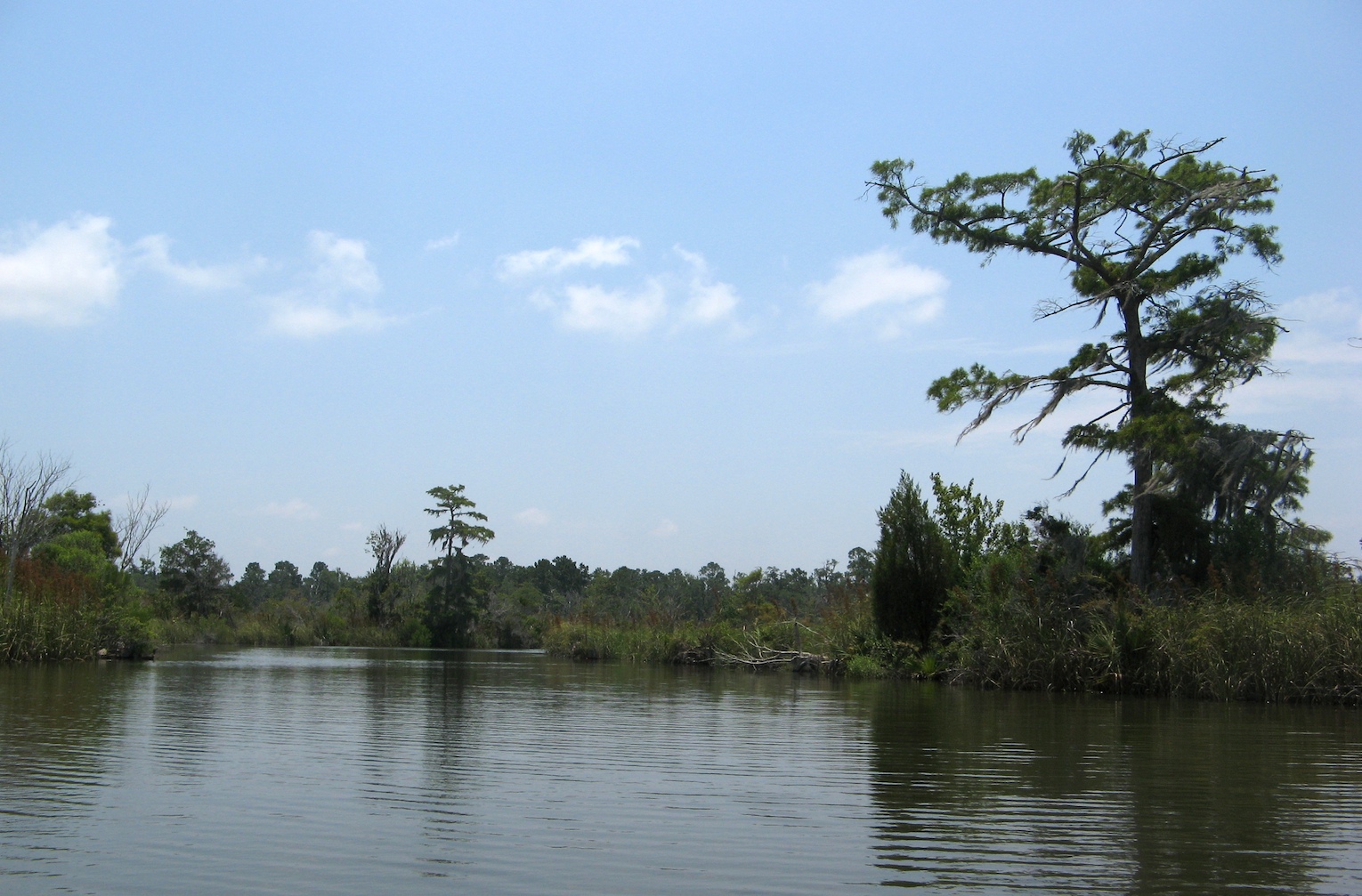
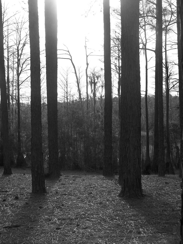
Related Photos:
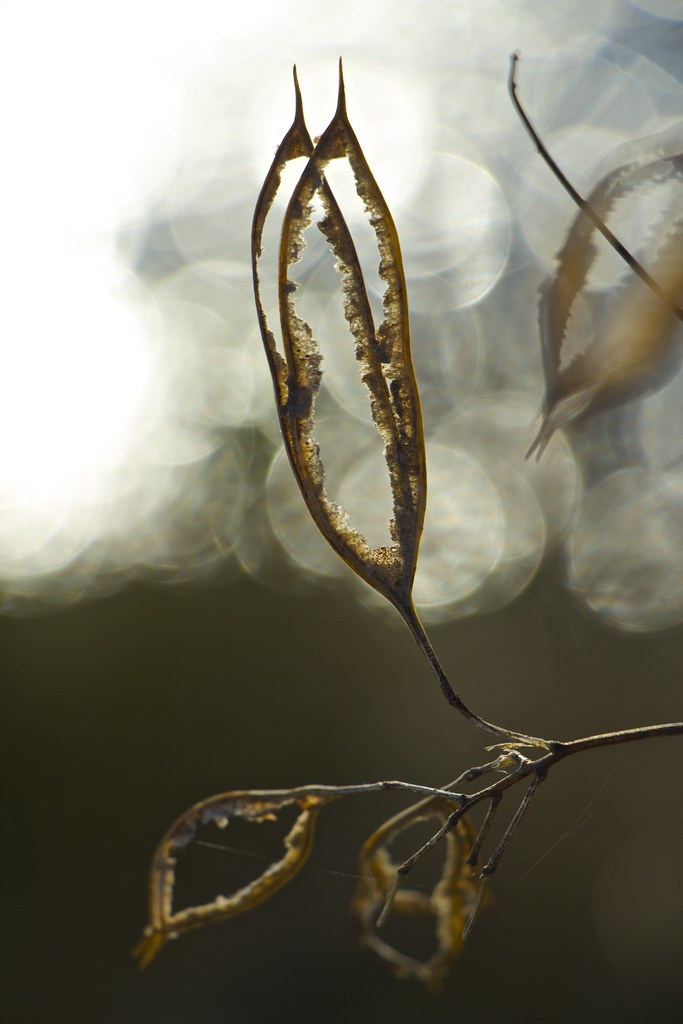
The Subtle Beauty of Weeds 4 [Explored 2013 04 06 #157]

Peripheral Vision
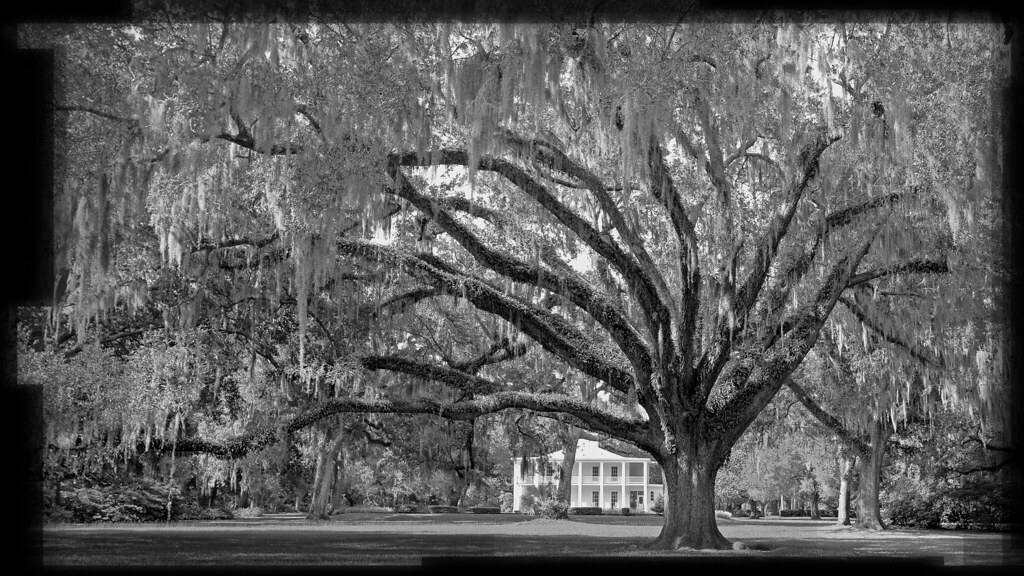
Eden State Park 2
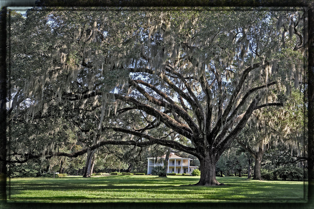
Eden view using 50mm Pano
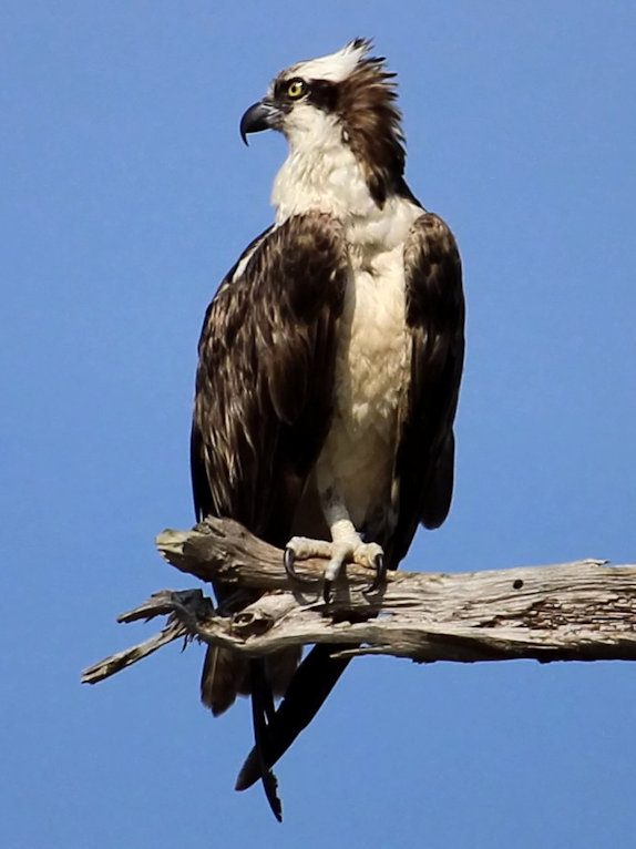
osprey on a branch
Bowman Bayou 1 Eden Gardens SP Point Washington FL
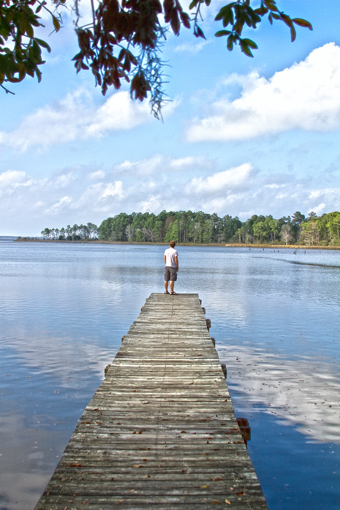
Dock of the Bay - Eden Gardens State Park, Florida
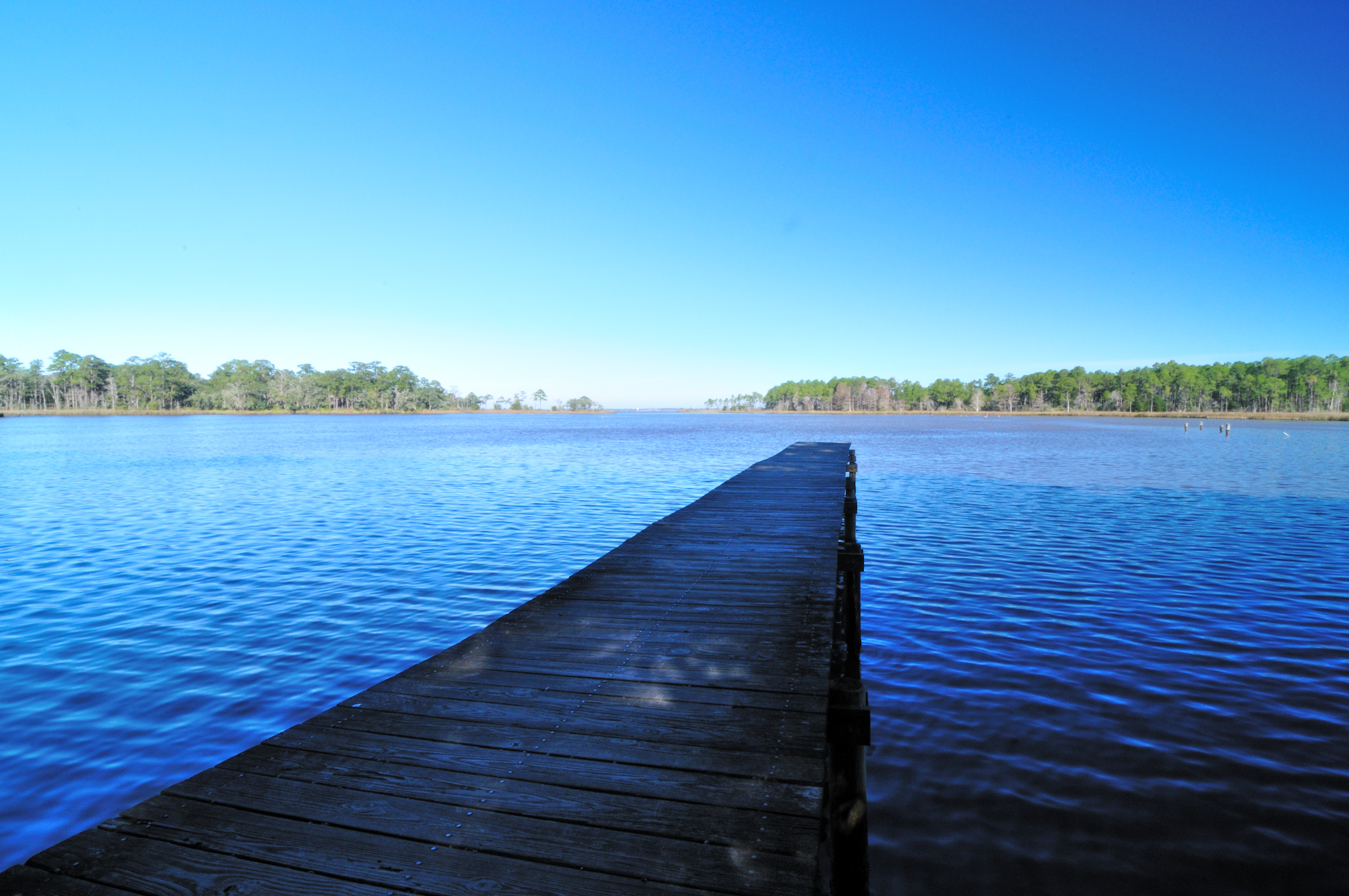
Jetty on Tucker Bayou

Sunset with the moon rising

We made it to Florida in one piece after a long day of driving. Time for dinner in Santa Rosa Beach! #nerdsontheroad #Florida #rvlife #homeiswhereyouparkit
Angle to Key West

My Photo Stream-915
20100422-1X7I9147
Cool tree
Cypress Pond
Topographic Map of Brushed Dunes Cir, Freeport, FL, USA
Find elevation by address:

Places near Brushed Dunes Cir, Freeport, FL, USA:
140 Double Eagle Ct
751 Brushed Dunes Cir
245 Coastal Breeze Dr
Windswept Dunes
45 Club House Dr W
486 Coastal Breeze Dr
Joe Dugger Road
90 Phillips Dr
FL-20, Bruce, FL, USA
Bruce
96 Orchid Ln
272 Fisherman's Run E
3120 Fl-20
244 Fisherman's Run E
216 Fisherman's Run E
226 Fisherman's Run E
127 Fisherman's Run E
3 Edgewater Dr
65 Edgewater Dr
242 Rooks Bluff Rd
Recent Searches:
- Elevation of Corso Fratelli Cairoli, 35, Macerata MC, Italy
- Elevation of Tallevast Rd, Sarasota, FL, USA
- Elevation of 4th St E, Sonoma, CA, USA
- Elevation of Black Hollow Rd, Pennsdale, PA, USA
- Elevation of Oakland Ave, Williamsport, PA, USA
- Elevation of Pedrógão Grande, Portugal
- Elevation of Klee Dr, Martinsburg, WV, USA
- Elevation of Via Roma, Pieranica CR, Italy
- Elevation of Tavkvetili Mountain, Georgia
- Elevation of Hartfords Bluff Cir, Mt Pleasant, SC, USA