Elevation of Walton County, FL, USA
Location: United States > Florida >
Longitude: -86.175175
Latitude: 30.5640199
Elevation: 17m / 56feet
Barometric Pressure: 101KPa
Elevation Map:
Satellite Map:
Related Photos:

Barbed Wire Fence

Red-breasted Nuthatch 26 APR 2013 in Okaloosa Co FL

Passion Flower (Passiflora incarnata)

Kalmia latifolia 2 (Mountain Laurel)

Kalmia latifolia (Mountain Laurel)

Seaside Chapel

Eastern Tiger Swallowtail (Papilio glaucus)

meet the beetles!

Gloriosa superba
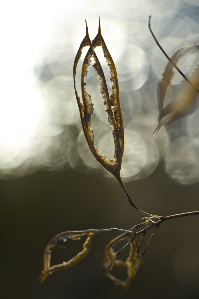
The Subtle Beauty of Weeds 4 [Explored 2013 04 06 #157]

osprey on a branch
20100422-1X7I9147

#clouds #cloudporn #sunset #definiakspringshistoricdistrict

Sunset with the moon rising

My Photo Stream-915
Topographic Map of Walton County, FL, USA
Find elevation by address:

Places in Walton County, FL, USA:
Panama City Beach
Santa Rosa Beach
Freeport
Niceville
Defuniak Springs
Miramar Beach
Ponce De Leon
Seacrest
Seagrove Beach
Paxton
Rosemary Beach
Bruce
Seaside
Watersound
89 S Wall St, Panama City, FL, USA
Laird Rd, Crestview, FL, USA
Point Washington
Lakewood
Places near Walton County, FL, USA:
Scrub Hill
Johns Lane
Johns Lane
168 Whispering Creek Ave
16 Partridge Ln
16 Partridge Ln
16 Partridge Ln
18 Partridge Ln
Hammock Bay
Magnolia Landing Drive
624 W Bay Loop Rd
624 W Bay Loop Rd
258 Blaze Blvd
55 Sweet Tea Ln
344 Windchime Way
Florida 20
Pruess Drive
41 Echo Cove
107 Twain Trail
Twain Trail
Recent Searches:
- Elevation of Corso Fratelli Cairoli, 35, Macerata MC, Italy
- Elevation of Tallevast Rd, Sarasota, FL, USA
- Elevation of 4th St E, Sonoma, CA, USA
- Elevation of Black Hollow Rd, Pennsdale, PA, USA
- Elevation of Oakland Ave, Williamsport, PA, USA
- Elevation of Pedrógão Grande, Portugal
- Elevation of Klee Dr, Martinsburg, WV, USA
- Elevation of Via Roma, Pieranica CR, Italy
- Elevation of Tavkvetili Mountain, Georgia
- Elevation of Hartfords Bluff Cir, Mt Pleasant, SC, USA