Elevation of Johns Lane, Johns Ln, Freeport, FL, USA
Location: United States > Florida > Walton County > Freeport >
Longitude: -86.186713
Latitude: 30.514331
Elevation: 3m / 10feet
Barometric Pressure: 101KPa
Elevation Map:
Satellite Map:
Related Photos:

Kalmia latifolia 2 (Mountain Laurel)

Kalmia latifolia (Mountain Laurel)

The Subtle Beauty of Weeds 4 [Explored 2013 04 06 BP138]
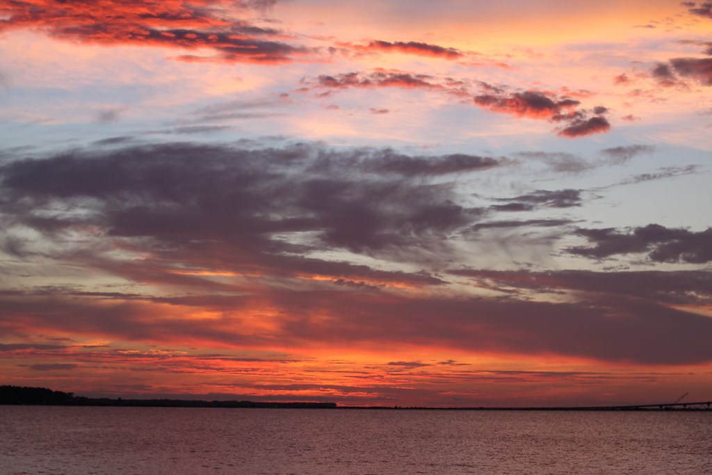
Sunset at the bay house

Telephone Pole

#Vacation2013 #Mudds1stFamilyVacation #CartersFirstVacation

Sunset at the bay house

Storm brewing on the bay
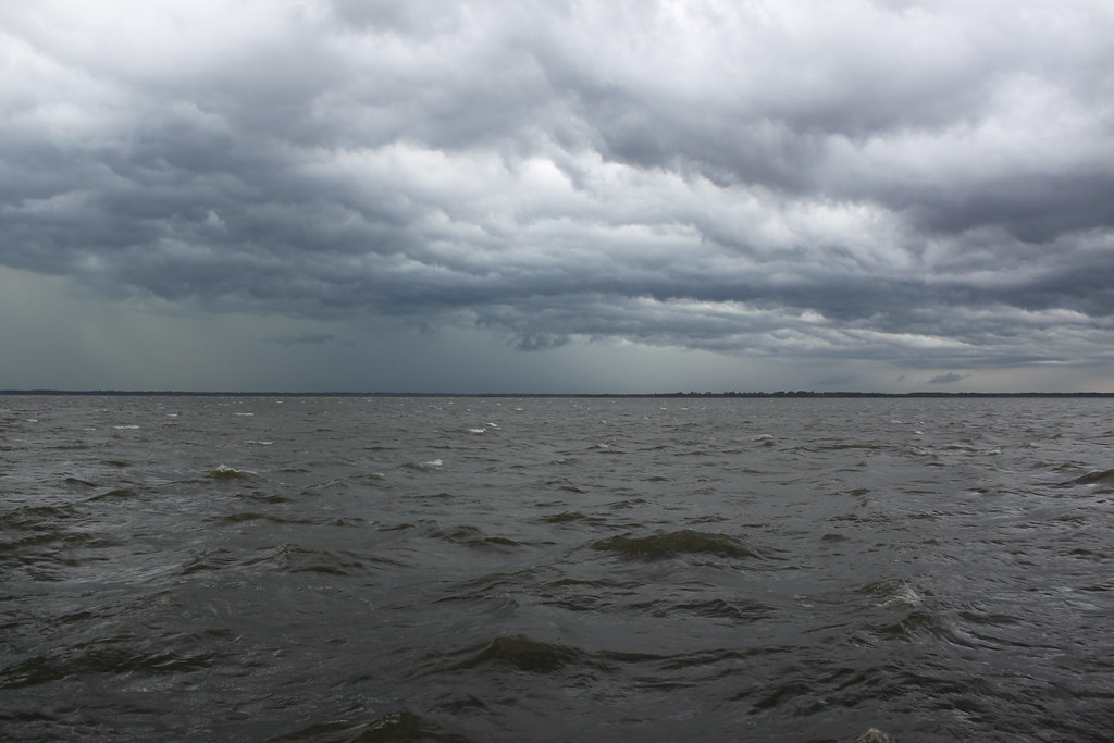
Even the bad weather here is beautiful

Storm brewing on the bay

My Photo Stream-915

Stormy day on the docks
Cool tree
Topographic Map of Johns Lane, Johns Ln, Freeport, FL, USA
Find elevation by address:

Places near Johns Lane, Johns Ln, Freeport, FL, USA:
Johns Lane
Magnolia Landing Drive
624 W Bay Loop Rd
624 W Bay Loop Rd
55 Sweet Tea Ln
175 Earl Godwin Rd
258 Blaze Blvd
348 Sweet Tea Ln
348 Sweet Tea Ln
2311 County Hwy 83a W
557 Waterview Cove Dr
356 Whitfield Rd
575 Earl Godwin Rd
367 Brighton Cove
60 Brighton Cove
480 Brighton Cove
36 Brighton Cove
605 Earl Godwin Rd
107 Twain Trail
King Road
Recent Searches:
- Elevation of Corso Fratelli Cairoli, 35, Macerata MC, Italy
- Elevation of Tallevast Rd, Sarasota, FL, USA
- Elevation of 4th St E, Sonoma, CA, USA
- Elevation of Black Hollow Rd, Pennsdale, PA, USA
- Elevation of Oakland Ave, Williamsport, PA, USA
- Elevation of Pedrógão Grande, Portugal
- Elevation of Klee Dr, Martinsburg, WV, USA
- Elevation of Via Roma, Pieranica CR, Italy
- Elevation of Tavkvetili Mountain, Georgia
- Elevation of Hartfords Bluff Cir, Mt Pleasant, SC, USA