Elevation of 70 River Loop Rd, Ponce De Leon, FL, USA
Location: United States > Florida > Walton County > Ponce De Leon >
Longitude: -85.898631
Latitude: 30.454656
Elevation: 7m / 23feet
Barometric Pressure: 101KPa
Elevation Map:
Satellite Map:
Related Photos:

Peripheral Vision
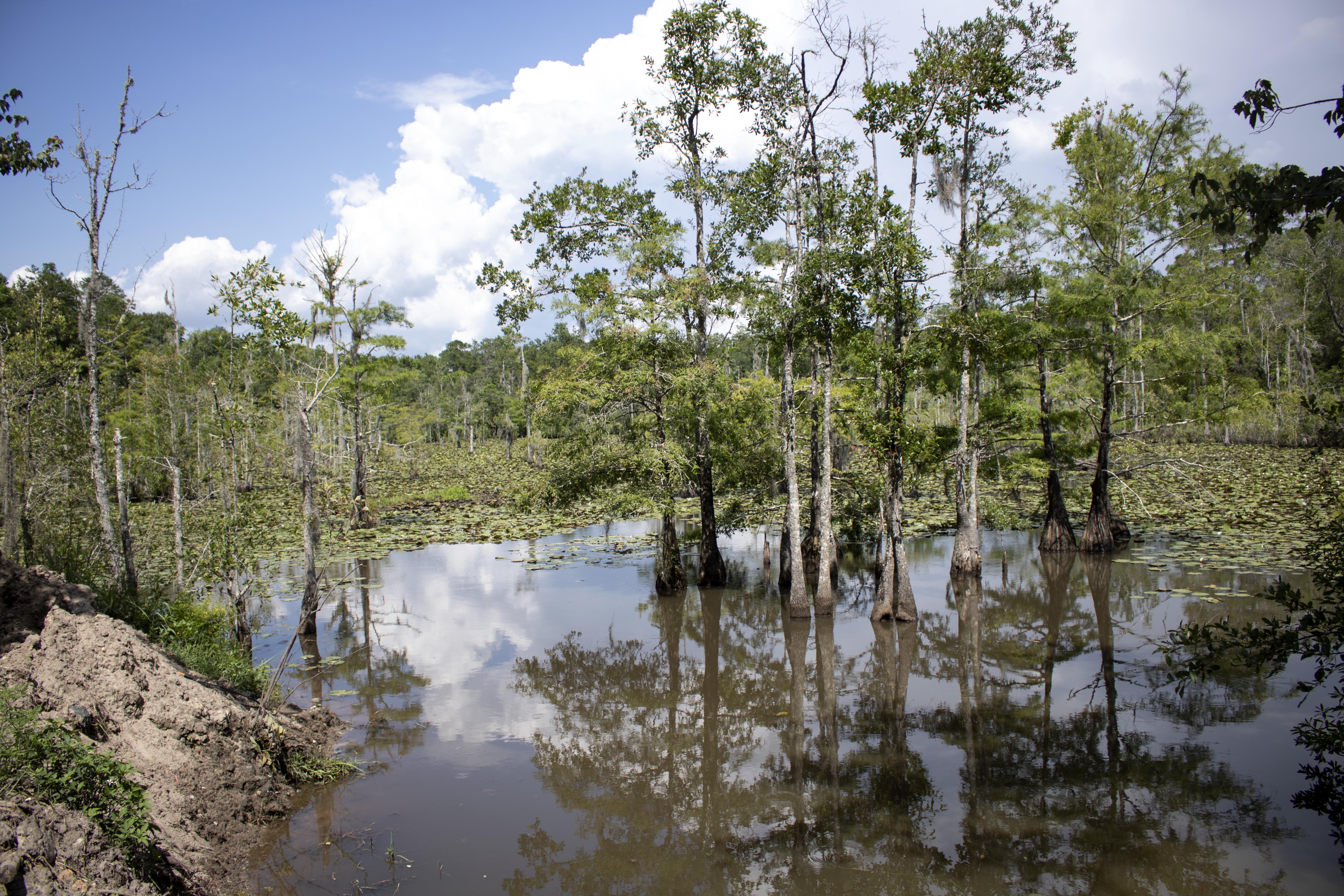
Gar Hole

My Photo Stream-915
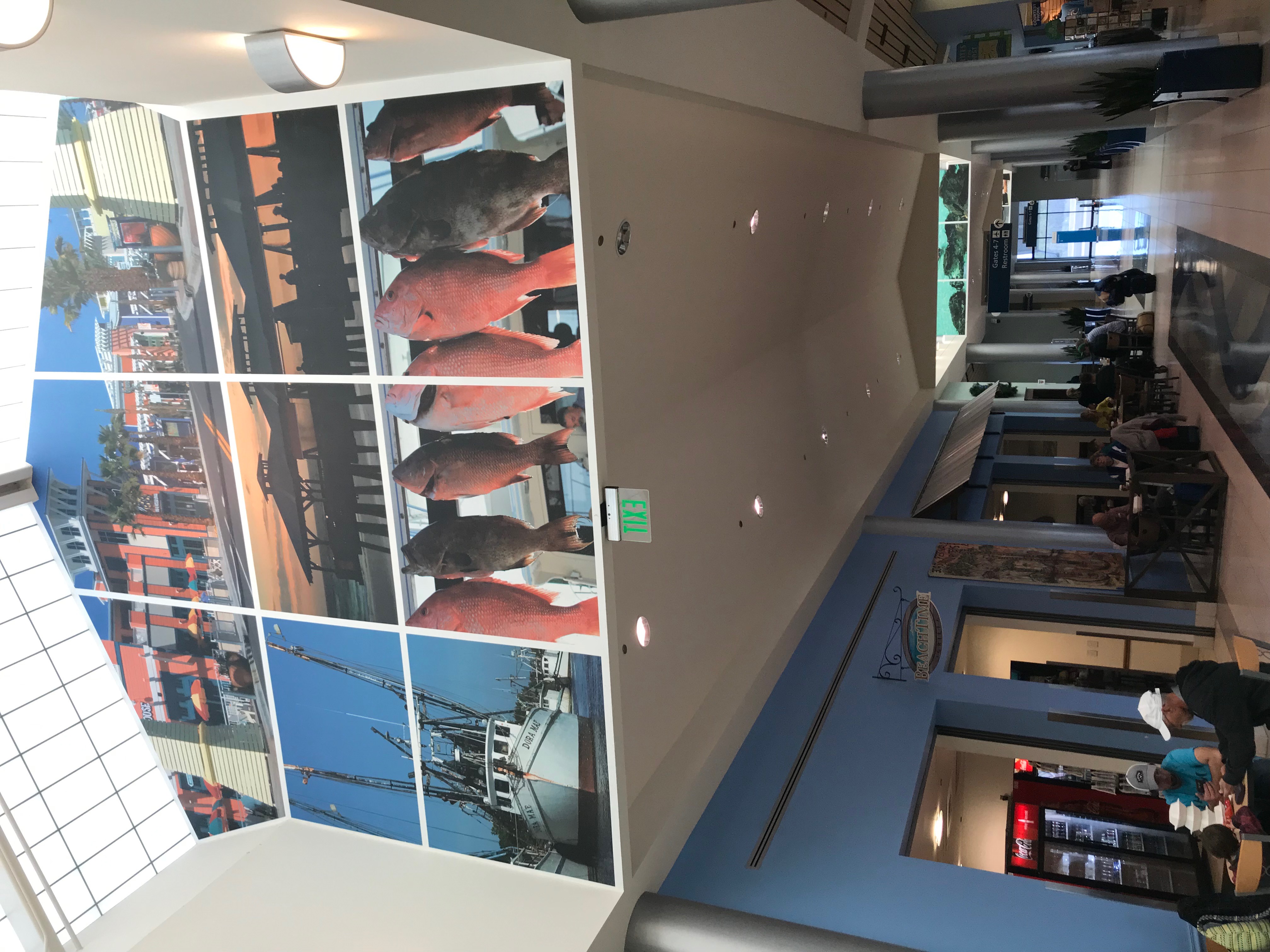
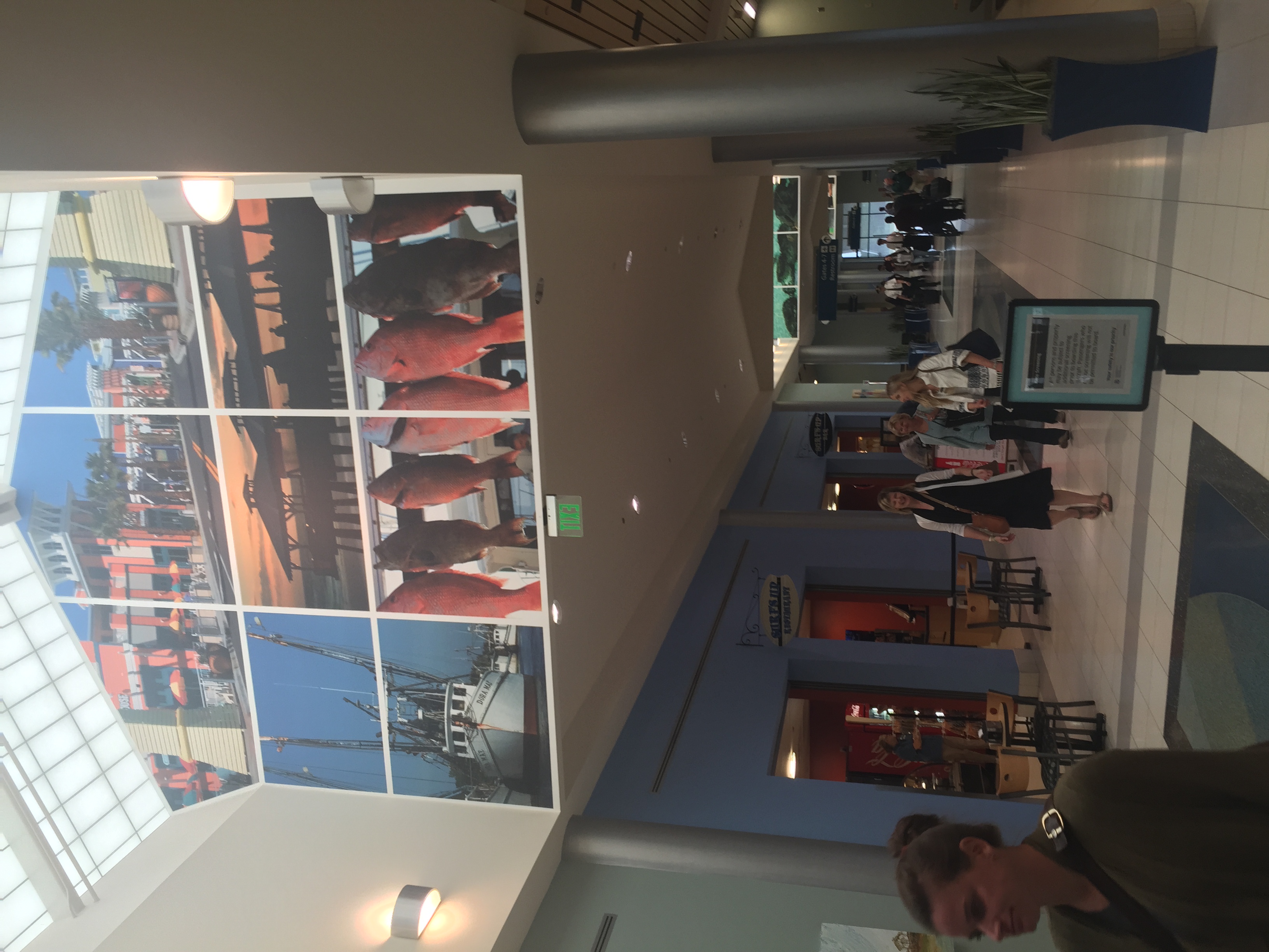
Northwest Florida Beaches International Airport (ECP)
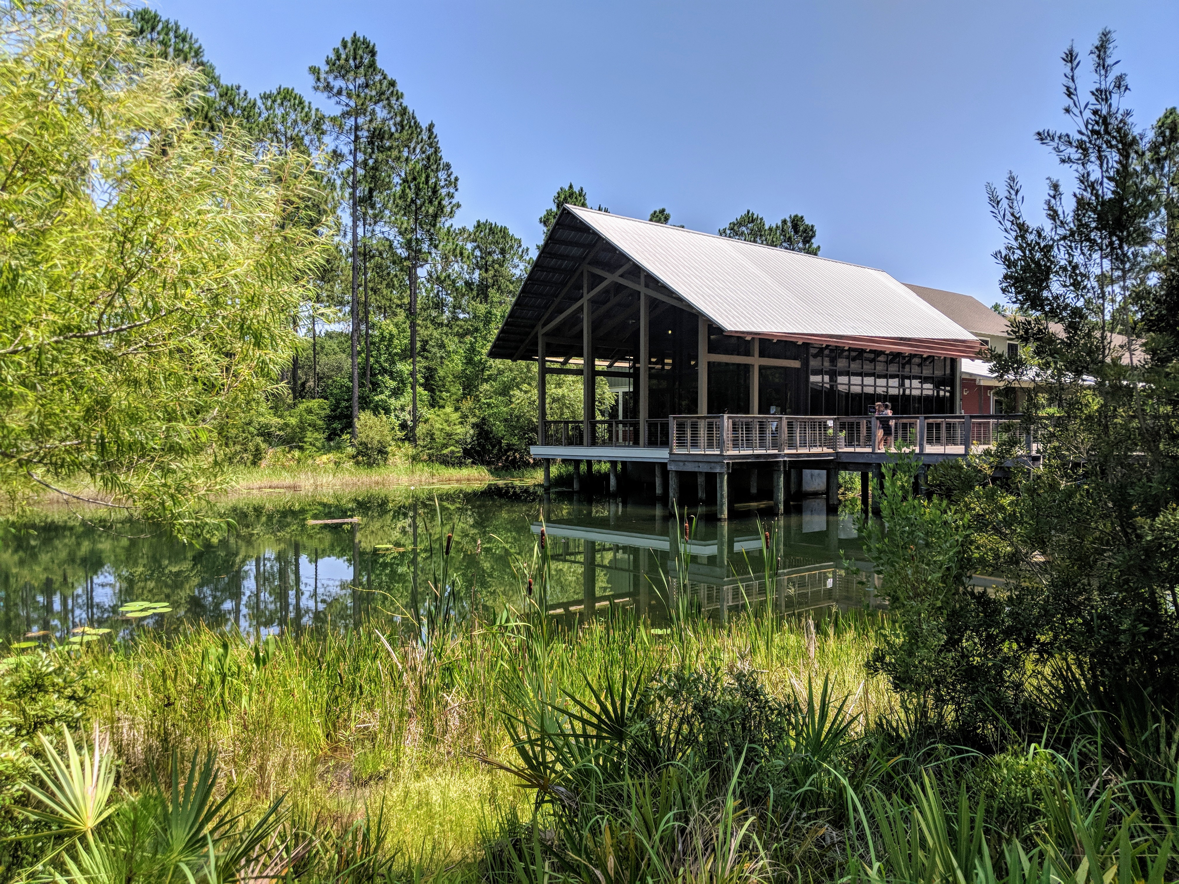
E.O. Wilson Biophilia Center - Freeport, Florida
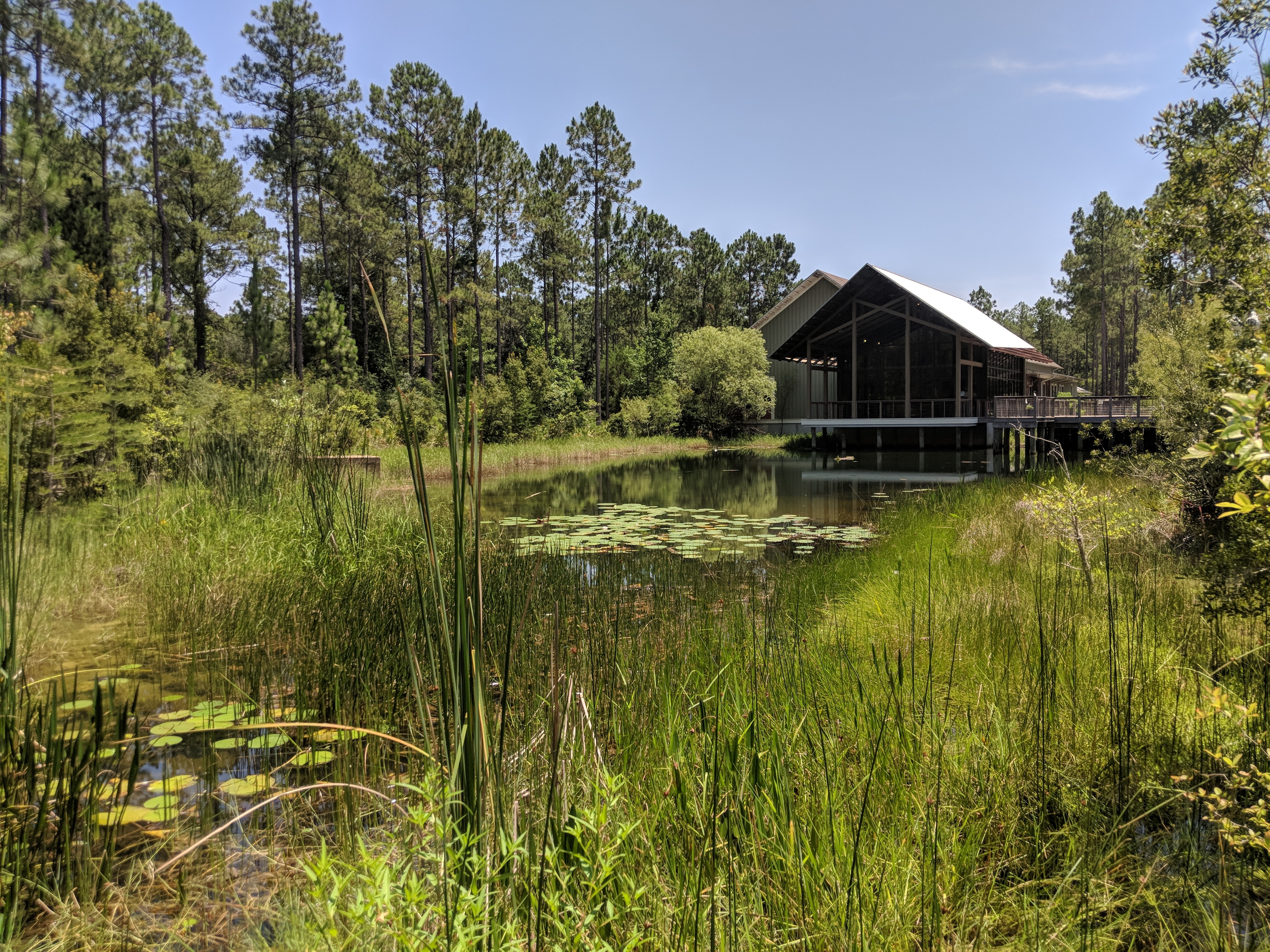
E.O. Wilson Biophilia Center - Freeport, Florida
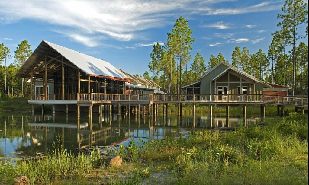
As #ARCHWeek17 comes to a close I wanted to reminisce a bit and share the EO Wilson Biophilia Center, a project located in Freeport Florida, a center dedicated to the environmental education of K-12 students where they are taught the value of understandin

Ebro FL 32437

Red-Spotted Admiral

Off to Indy #memorialdayweekend #southwest

Here's to safe landings. #vacation #florida #flight

8 June 2014 (1)
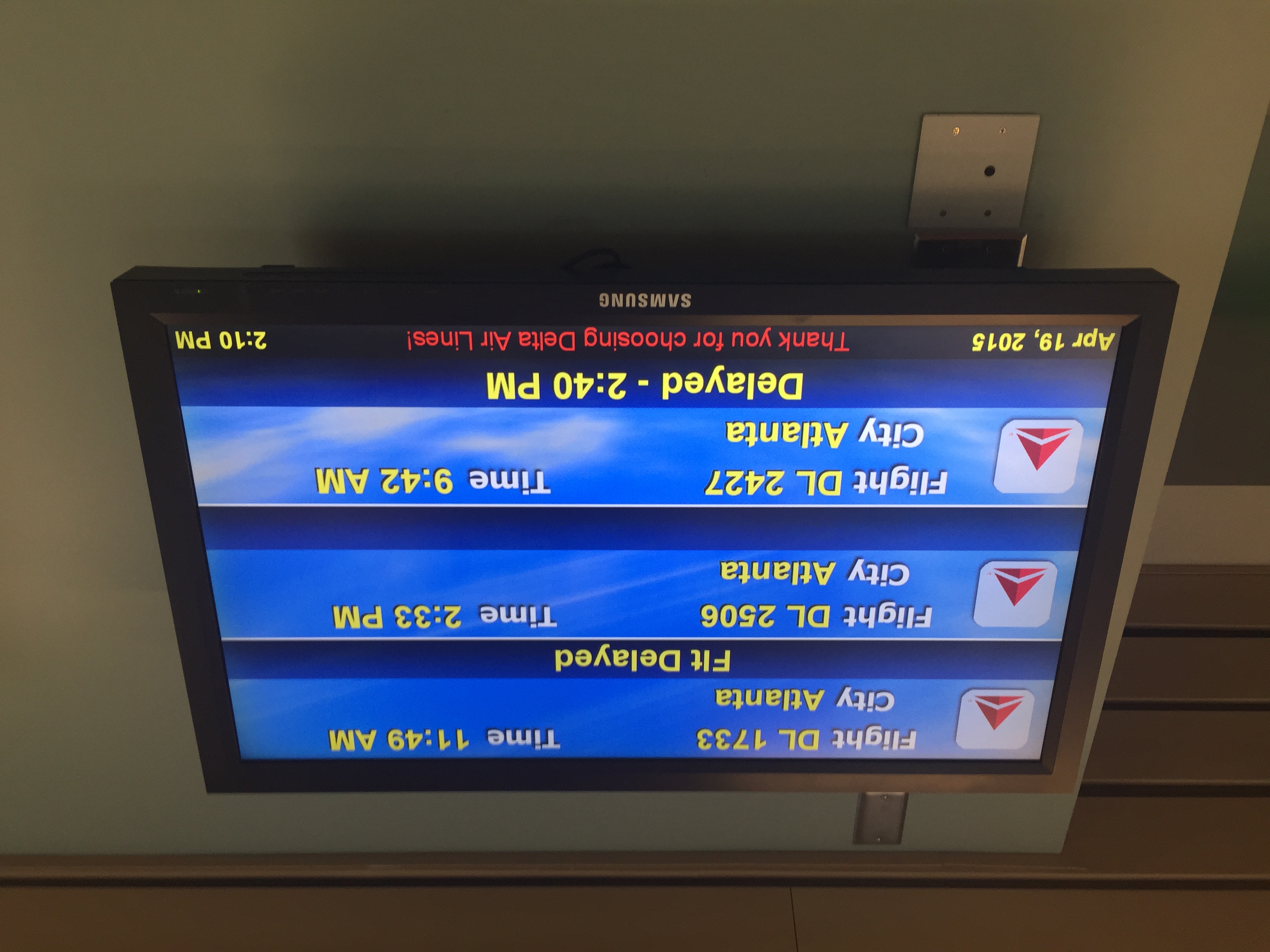
Other flights delayed 5 hours and indefinitely
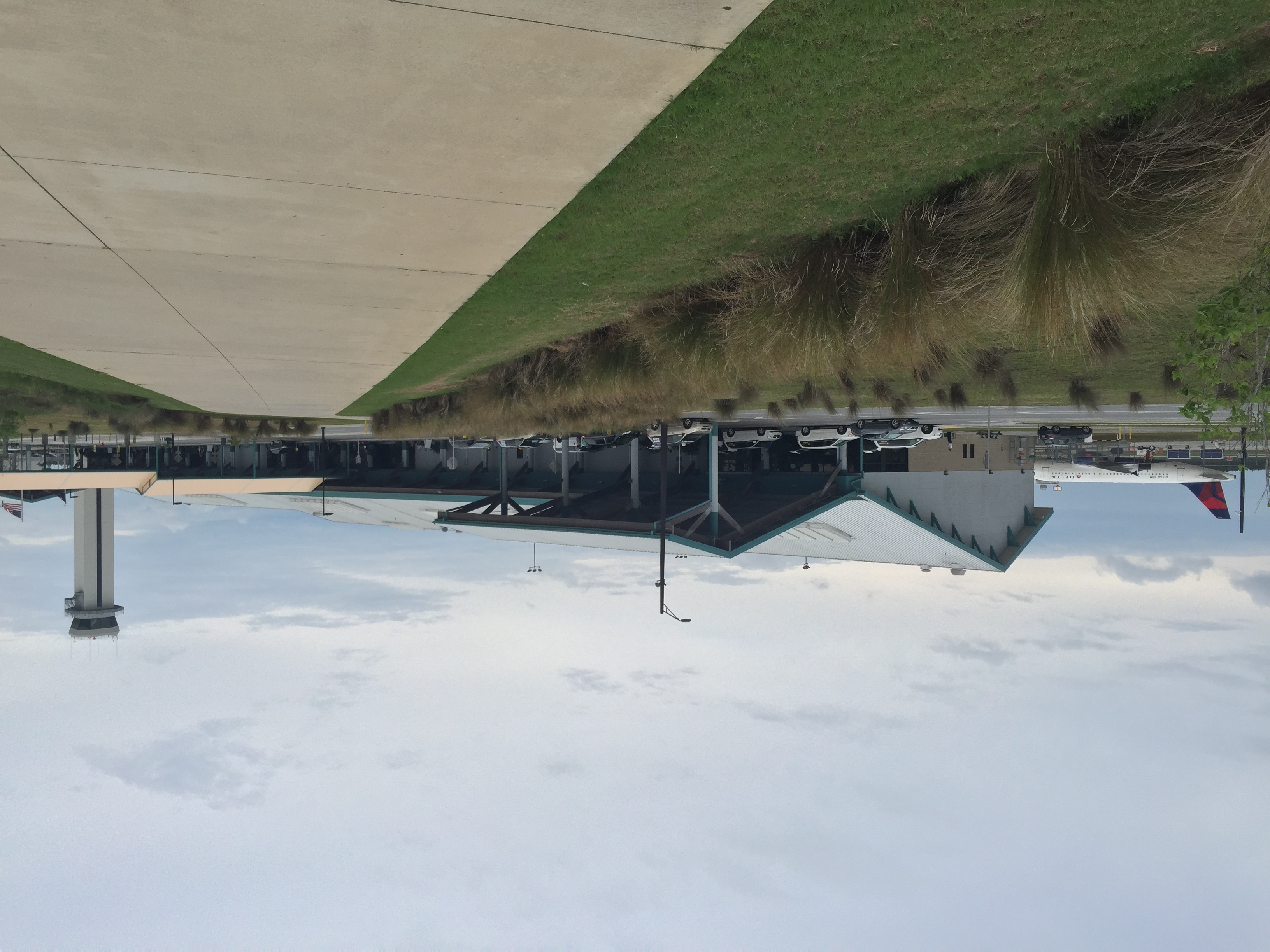
Northwest Florida Beaches airport
Northwest Florida Beaches airport
Topographic Map of 70 River Loop Rd, Ponce De Leon, FL, USA
Find elevation by address:

Places near 70 River Loop Rd, Ponce De Leon, FL, USA:
Ebro
Cedar Tree Ld Rd, Ebro, FL, USA
Pine Log State Forest
Bruce
FL-20, Bruce, FL, USA
FL-79, Vernon, FL, USA
Boynton Cutoff Rd, Vernon, FL, USA
242 Rooks Bluff Rd
Summer House Road
Millers Ferry Rd, Vernon, FL, USA
260 Brushed Dunes Cir
140 Double Eagle Ct
Ponce De Leon, FL, USA
Windswept Dunes
45 Club House Dr W
751 Brushed Dunes Cir
245 Coastal Breeze Dr
486 Coastal Breeze Dr
90 Phillips Dr
96 Orchid Ln
Recent Searches:
- Elevation of Corso Fratelli Cairoli, 35, Macerata MC, Italy
- Elevation of Tallevast Rd, Sarasota, FL, USA
- Elevation of 4th St E, Sonoma, CA, USA
- Elevation of Black Hollow Rd, Pennsdale, PA, USA
- Elevation of Oakland Ave, Williamsport, PA, USA
- Elevation of Pedrógão Grande, Portugal
- Elevation of Klee Dr, Martinsburg, WV, USA
- Elevation of Via Roma, Pieranica CR, Italy
- Elevation of Tavkvetili Mountain, Georgia
- Elevation of Hartfords Bluff Cir, Mt Pleasant, SC, USA