Elevation of Blues Spirit Ln, Blair, NE, USA
Location: United States > Nebraska > Washington County > > Blair >
Longitude: -96.113593
Latitude: 41.4895205
Elevation: 342m / 1122feet
Barometric Pressure: 97KPa
Elevation Map:
Satellite Map:
Related Photos:

2009-12-24 (7 Days-Day 6) Silent

Peaceful Evening

Liz at the powder magazine

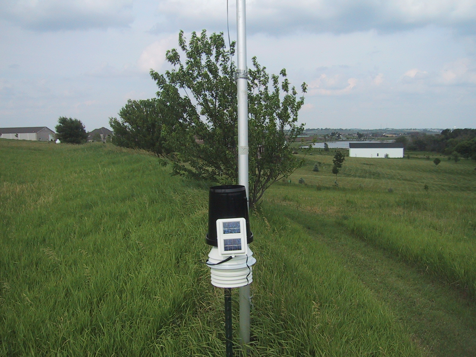
Weather station full view looking southeast

Fort Atkinson State Park
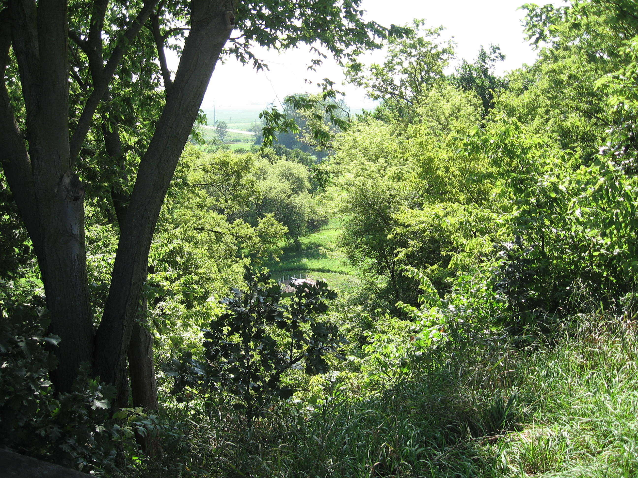
View from the bluff at Fort Atkinson
weather station view looking east
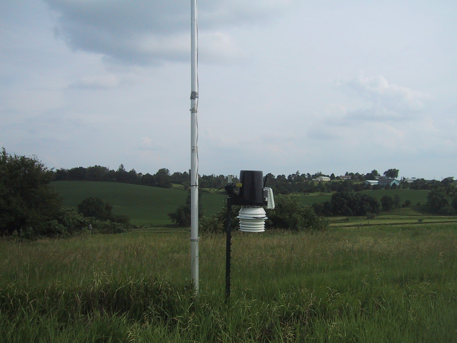
Weather station view looking south

Eye Ain't got no view
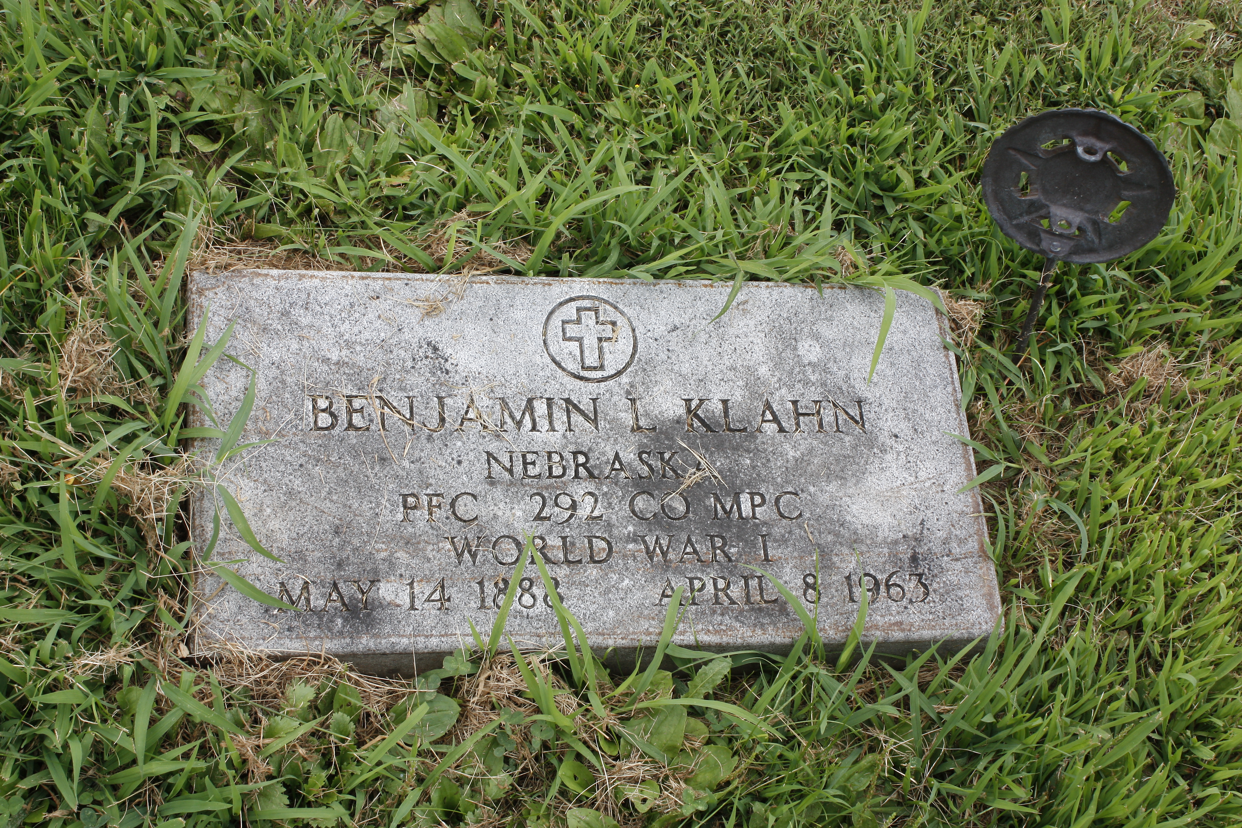
Hero near Eye Ain't got no view
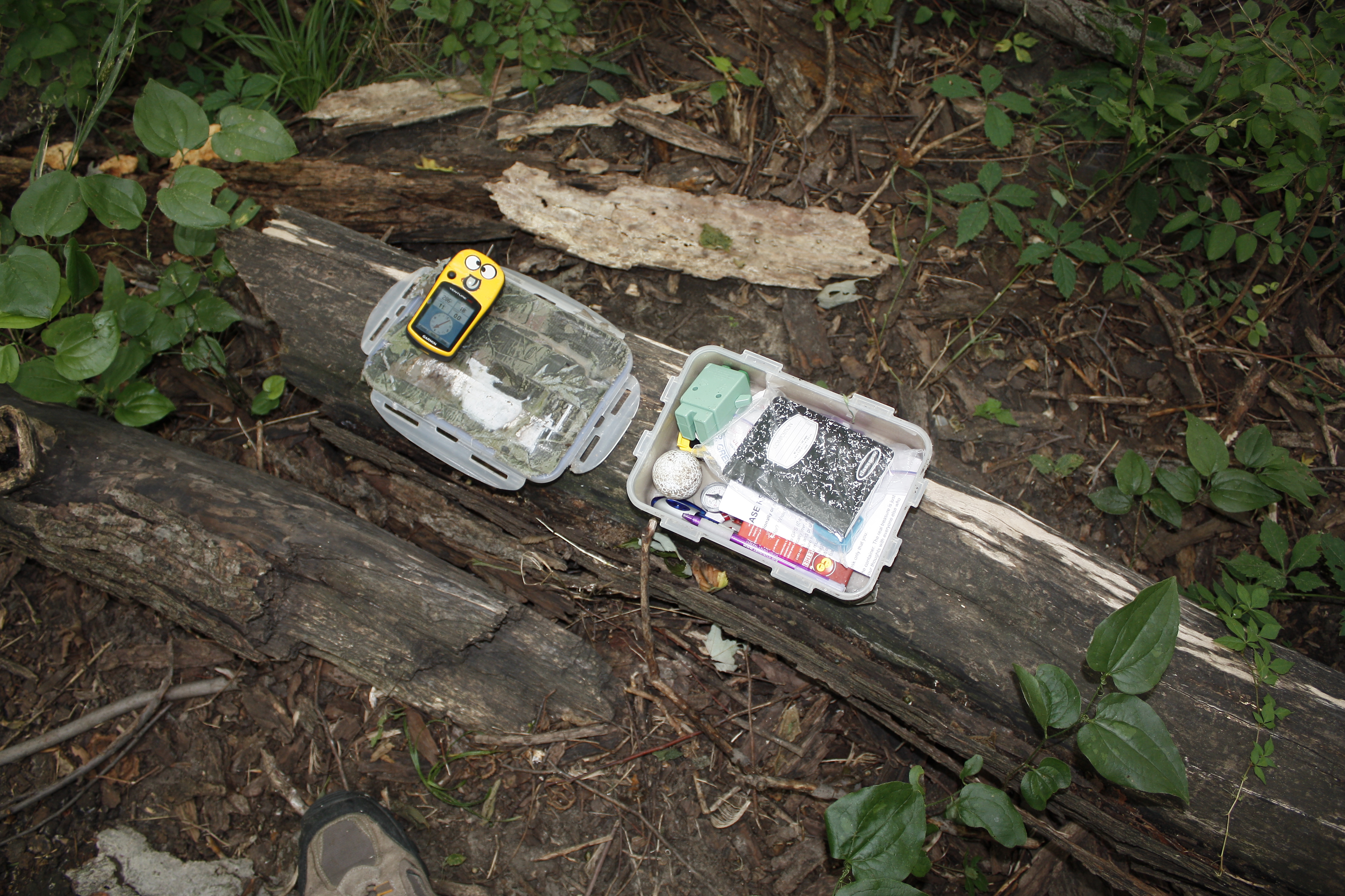
Eye Ain't got no view contents

USAF 549th Strategic Missile Squadron Site B (SM-65D Atlas-D) ICBM launch complex

Eastern Sky

USAF 549th Strategic Missile Squadron Site B (SM-65D Atlas-D) ICBM launch complex
The Pond

Through Rose Colored Glasses

The Missouri River Looking Upstream

C 175

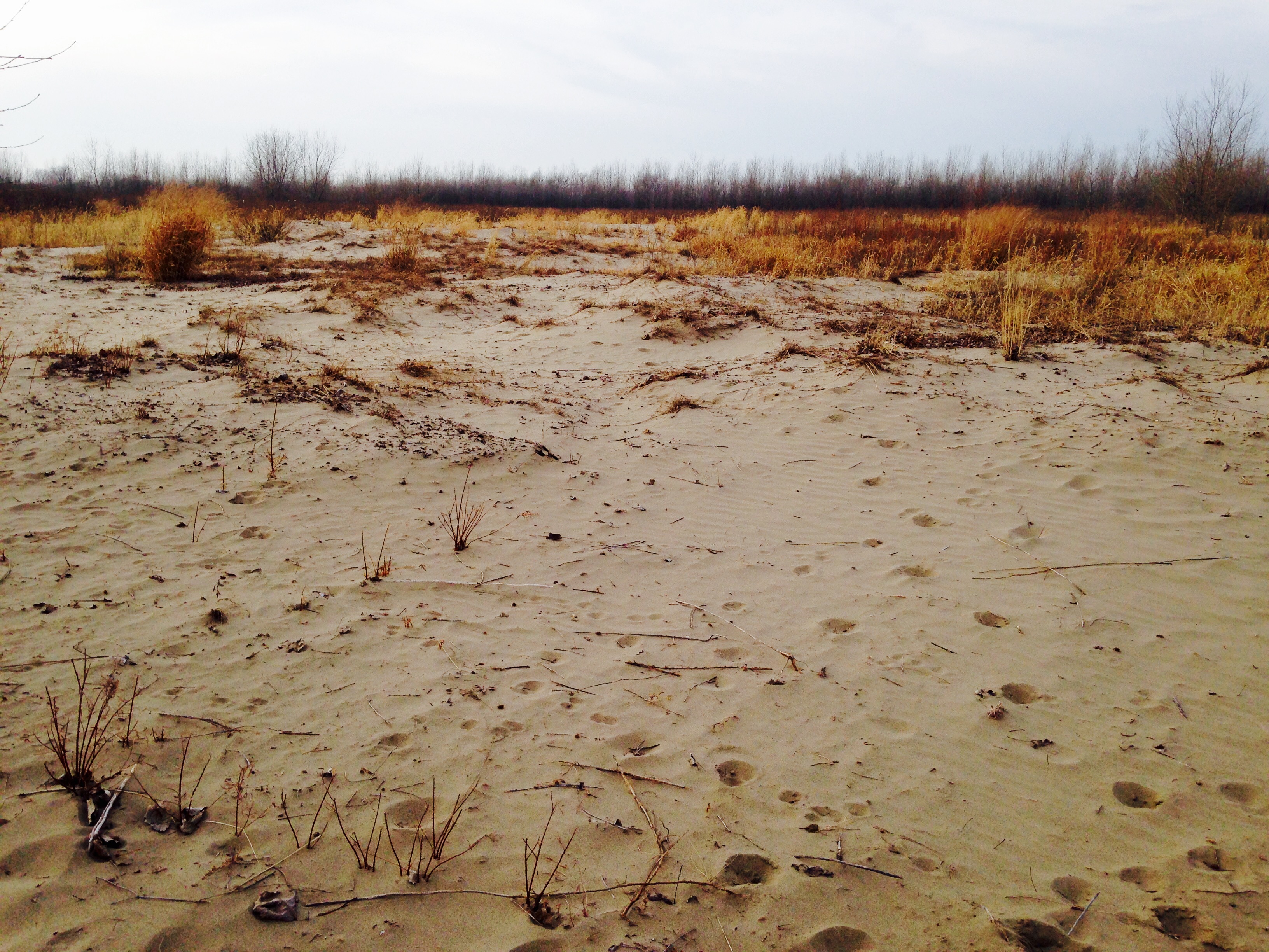
Foggy Morning on The Edge of Nowhere.

Fields of Gold

Cunningham Lake sunset

Foggy Morning on The Edge of Nowhere.

Mrs Leavenworth's Locust Grove
Boyer Chute "Beach"

Lightning and Rainbows at Sunset: Timelapse in HD

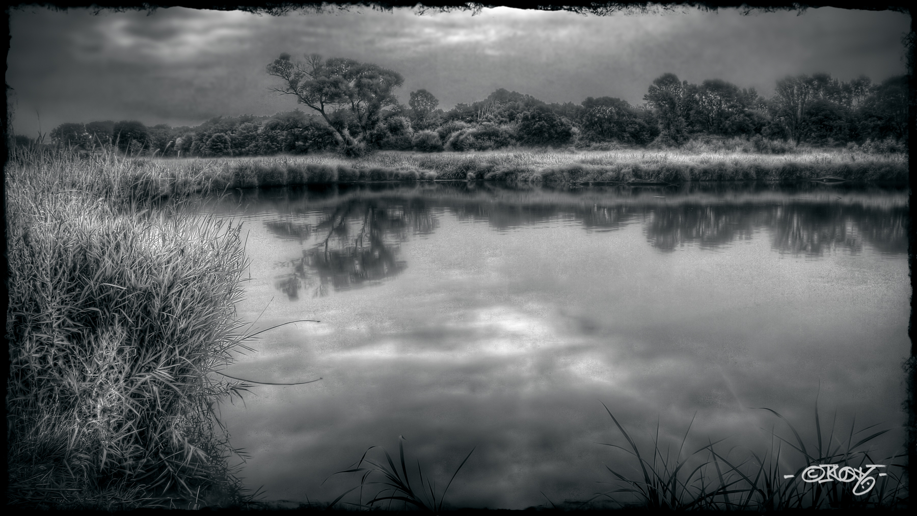
Midwest Reflected

Geece at DeSoto

Long Creek School District 8 - rural Blair, NE

DeSoto Panorama

Penguins In Nebraska

US I80 approaching the muddy mo from the east

Penguins In Nebraska
Topographic Map of Blues Spirit Ln, Blair, NE, USA
Find elevation by address:

Places near Blues Spirit Ln, Blair, NE, USA:
2, NE, USA
9485 Murphy Ln
1705 Kellie Dr
4861 N Ranch Cir
11060 S Lakeshore Dr
Blair
1529 Jackson St
1028 Joann Dr
2948 Westridge Dr
Black Elk Neihardt Park
Lincoln Hwy & Rd 27
401 N Pine St
Kennard
Maple St, Kennard, NE, USA
Washington County
North 157th Street
Washington
Jefferson St, Washington, NE, USA
Bennington
12503 N 179th St
Recent Searches:
- Elevation of Corso Fratelli Cairoli, 35, Macerata MC, Italy
- Elevation of Tallevast Rd, Sarasota, FL, USA
- Elevation of 4th St E, Sonoma, CA, USA
- Elevation of Black Hollow Rd, Pennsdale, PA, USA
- Elevation of Oakland Ave, Williamsport, PA, USA
- Elevation of Pedrógão Grande, Portugal
- Elevation of Klee Dr, Martinsburg, WV, USA
- Elevation of Via Roma, Pieranica CR, Italy
- Elevation of Tavkvetili Mountain, Georgia
- Elevation of Hartfords Bluff Cir, Mt Pleasant, SC, USA