Elevation of Blair, NE, USA
Location: United States > Nebraska > Washington County > >
Longitude: -96.1350702
Latitude: 41.5446975
Elevation: 332m / 1089feet
Barometric Pressure: 0KPa
Related Photos:

2009-12-24 (7 Days-Day 6) Silent

Peaceful Evening

Liz at the powder magazine

Fort Atkinson State Park
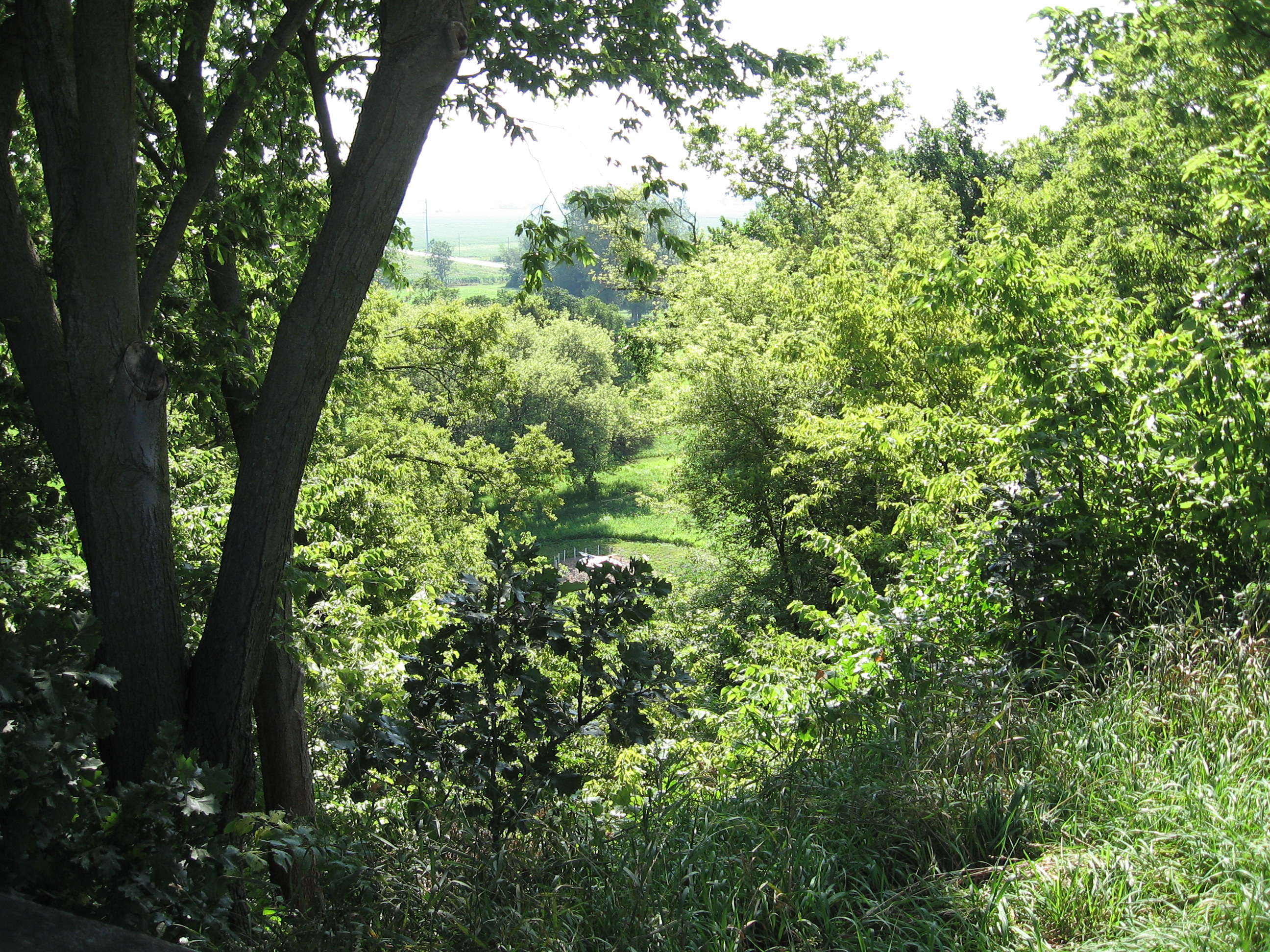
View from the bluff at Fort Atkinson

Eye Ain't got no view
Hero near Eye Ain't got no view
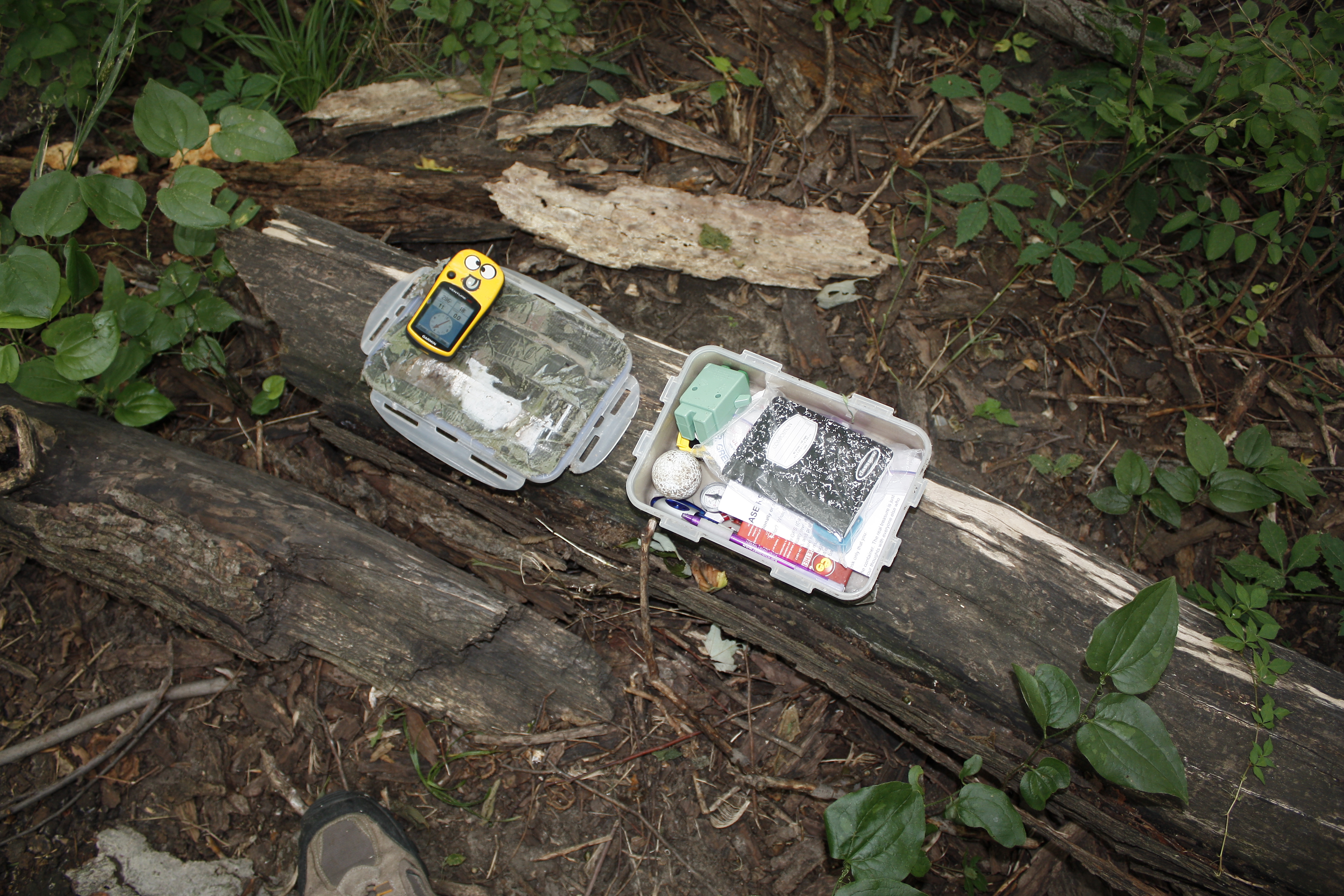
Eye Ain't got no view contents

Through Rose Colored Glasses

USAF 549th Strategic Missile Squadron Site B (SM-65D Atlas-D) ICBM launch complex

The Missouri River Looking Upstream

C 175

Foggy Morning on The Edge of Nowhere.

Fields of Gold

Foggy Morning on The Edge of Nowhere.

Eastern Sky

Mrs Leavenworth's Locust Grove

Lightning and Rainbows at Sunset: Timelapse in HD

USAF 549th Strategic Missile Squadron Site B (SM-65D Atlas-D) ICBM launch complex

Midwest Reflected

Geece at DeSoto

Long Creek School District 8 - rural Blair, NE

DeSoto Panorama

Penguins In Nebraska

US I80 approaching the muddy mo from the east

Penguins In Nebraska

BackyardHDR3_HDR.jpg

Snowy Landscape

JCR_0643_HDR.jpg
Topographic Map of Blair, NE, USA
Find elevation by address:

Places in Blair, NE, USA:
Places near Blair, NE, USA:
1529 Jackson St
1028 Joann Dr
1705 Kellie Dr
2948 Westridge Dr
Black Elk Neihardt Park
2, NE, USA
10855 Blues Spirit Ln
Washington County
9485 Murphy Ln
Lincoln Hwy & Rd 27
401 N Pine St
Kennard
Maple St, Kennard, NE, USA
4861 N Ranch Cir
11060 S Lakeshore Dr
Zahner Farms Inc
300 W Anderson St
IA-, Modale, IA, USA
Modale
Clay
Recent Searches:
- Elevation of 908, Northwood Drive, Bridge Field, Chesapeake, Virginia, 23322, USA
- Elevation map of Nagano Prefecture, Japan
- Elevation of 587, Bascule Drive, Oakdale, Stanislaus County, California, 95361, USA
- Elevation of Stadion Wankdorf, Sempachstrasse, Breitfeld, Bern, Bern-Mittelland administrative district, Bern, 3014, Switzerland
- Elevation of Z024, 76, Emil-von-Behring-Straße, Marbach, Marburg, Landkreis Marburg-Biedenkopf, Hesse, 35041, Germany
- Elevation of Gaskill Road, Hunts Cross, Liverpool, England, L24 9PH, United Kingdom
- Elevation of Speke, Liverpool, England, L24 9HD, United Kingdom
- Elevation of Seqirus, 475, Green Oaks Parkway, Holly Springs, Wake County, North Carolina, 27540, USA
- Elevation of Pasing, Munich, Bavaria, 81241, Germany
- Elevation of 24, Auburn Bay Crescent SE, Auburn Bay, Calgary, Alberta, T3M 0A6, Canada
- Elevation of Denver, 2314, Arapahoe Street, Five Points, Denver, Colorado, 80205, USA
- Elevation of Community of the Beatitudes, 2924, West 43rd Avenue, Sunnyside, Denver, Colorado, 80211, USA
- Elevation map of Litang County, Sichuan, China
- Elevation map of Madoi County, Qinghai, China
- Elevation of 3314, Ohio State Route 114, Payne, Paulding County, Ohio, 45880, USA
- Elevation of Sarahills Drive, Saratoga, Santa Clara County, California, 95070, USA
- Elevation of Town of Bombay, Franklin County, New York, USA
- Elevation of 9, Convent Lane, Center Moriches, Suffolk County, New York, 11934, USA
- Elevation of Saint Angelas Convent, 9, Convent Lane, Center Moriches, Suffolk County, New York, 11934, USA
- Elevation of 131st Street Southwest, Mukilteo, Snohomish County, Washington, 98275, USA