Elevation of Black Elk Neihardt Park, Blair, NE, USA
Location: United States > Nebraska > Washington County >
Longitude: -96.161371
Latitude: 41.5521636
Elevation: 378m / 1240feet
Barometric Pressure: 97KPa
Elevation Map:
Satellite Map:
Related Photos:

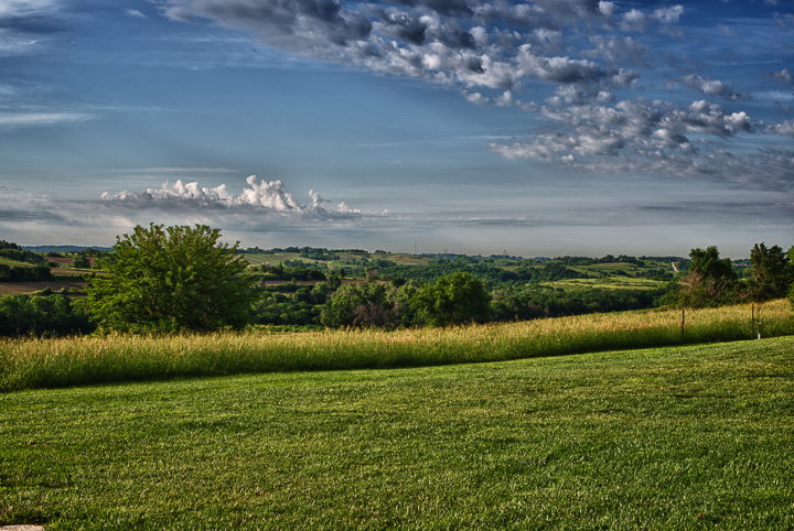
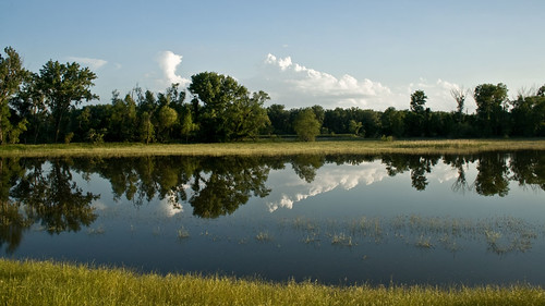
Peaceful Evening

2009-12-24 (7 Days-Day 6) Silent
Eye Ain't got no view contents

Hero near Eye Ain't got no view
Eye Ain't got no view
Penguins In Nebraska
Penguins In Nebraska
Penguins In Nebraska
Penguins In Nebraska
JCR_0652_HDR.jpg
Through Rose Colored Glasses
untitled-1_HDR.jpg
Penguins In Nebraska

Eastern Sky
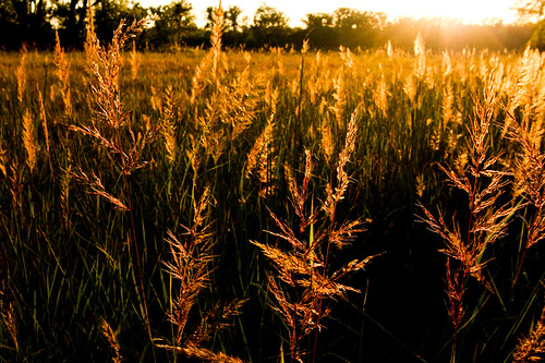
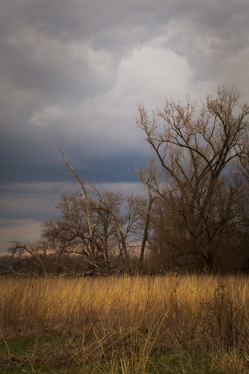
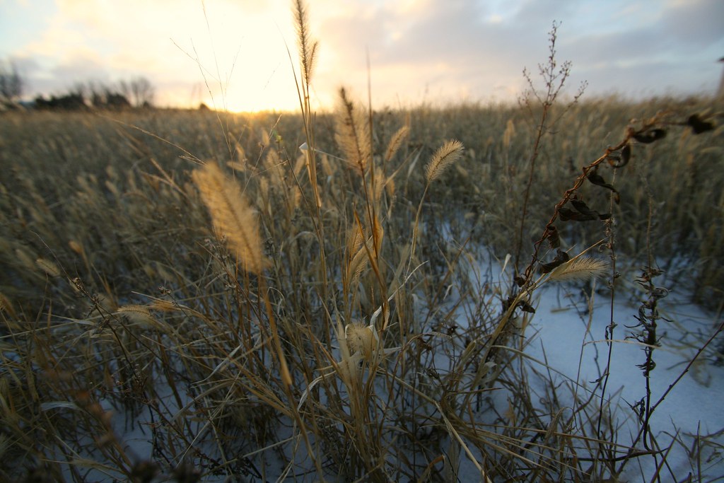
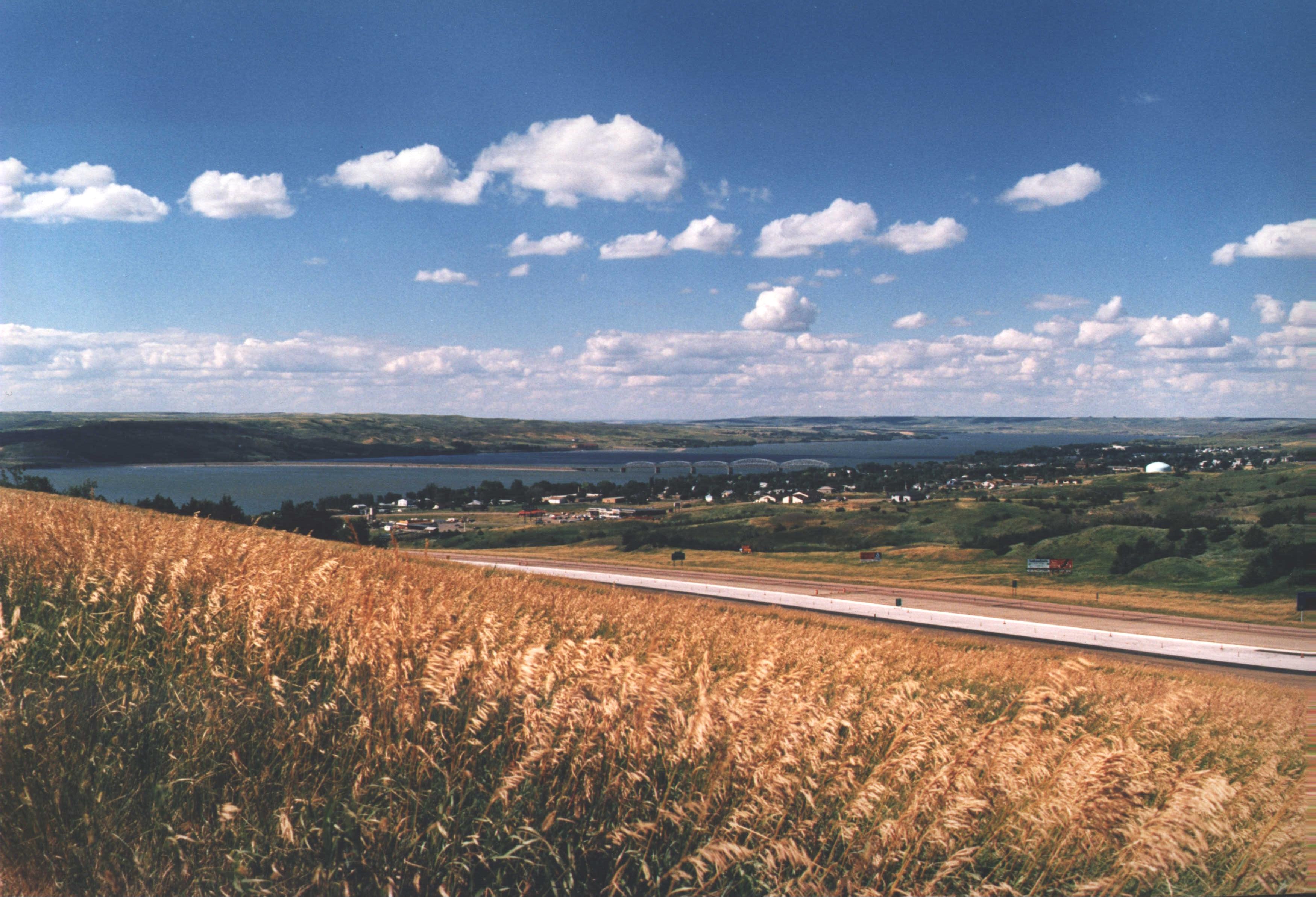
Fields of Gold
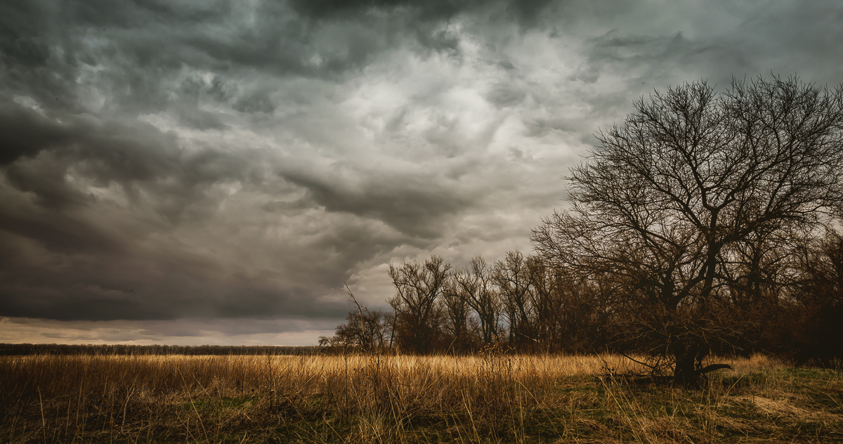
DeSoto National Wildlife Preserve

Penguins In Nebraska

USAF 549th Strategic Missile Squadron Site B (SM-65D Atlas-D) ICBM launch complex

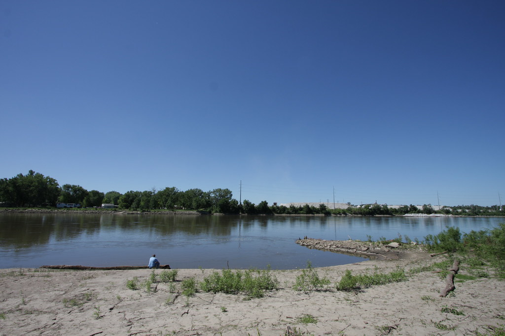
The Missouri River Looking Upstream

Lightning and Rainbows at Sunset: Timelapse in HD
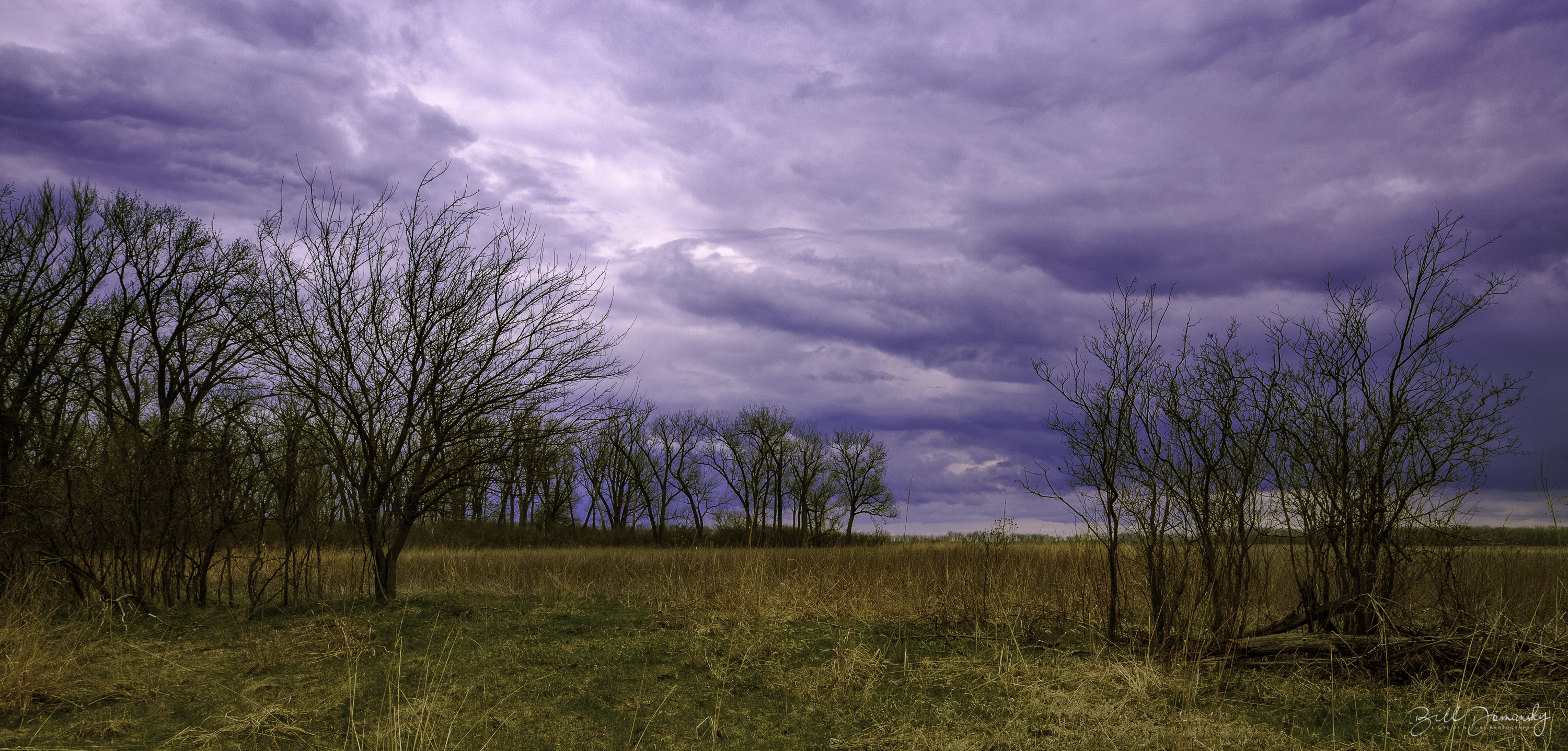
Midwest Reflected
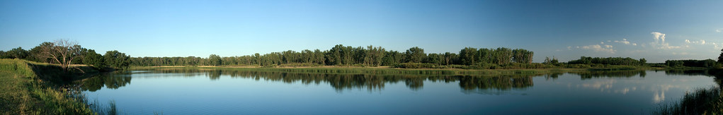
DeSoto Panorama
December 31
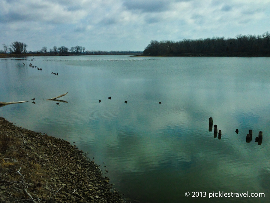
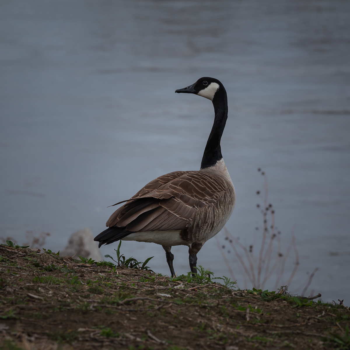
Geece at DeSoto
US I80 approaching the muddy mo from the east
IMG_08143.JPG
Topographic Map of Black Elk Neihardt Park, Blair, NE, USA
Find elevation by address:

Places near Black Elk Neihardt Park, Blair, NE, USA:
2948 Westridge Dr
1529 Jackson St
Blair
Washington County
1028 Joann Dr
1705 Kellie Dr
2, NE, USA
10855 Blues Spirit Ln
Lincoln Hwy & Rd 27
401 N Pine St
9485 Murphy Ln
Kennard
Maple St, Kennard, NE, USA
11060 S Lakeshore Dr
4861 N Ranch Cir
18522 County Rd 32
7, NE, USA
Zahner Farms Inc
Clay
Washington
Recent Searches:
- Elevation of Corso Fratelli Cairoli, 35, Macerata MC, Italy
- Elevation of Tallevast Rd, Sarasota, FL, USA
- Elevation of 4th St E, Sonoma, CA, USA
- Elevation of Black Hollow Rd, Pennsdale, PA, USA
- Elevation of Oakland Ave, Williamsport, PA, USA
- Elevation of Pedrógão Grande, Portugal
- Elevation of Klee Dr, Martinsburg, WV, USA
- Elevation of Via Roma, Pieranica CR, Italy
- Elevation of Tavkvetili Mountain, Georgia
- Elevation of Hartfords Bluff Cir, Mt Pleasant, SC, USA