Elevation of Lincoln Hwy & Rd 27, Kennard, NE, USA
Location: United States > Nebraska > Washington County > > Kennard >
Longitude: -96.194151
Latitude: 41.475836
Elevation: 350m / 1148feet
Barometric Pressure: 97KPa
Elevation Map:
Satellite Map:
Related Photos:

2009-12-24 (7 Days-Day 6) Silent
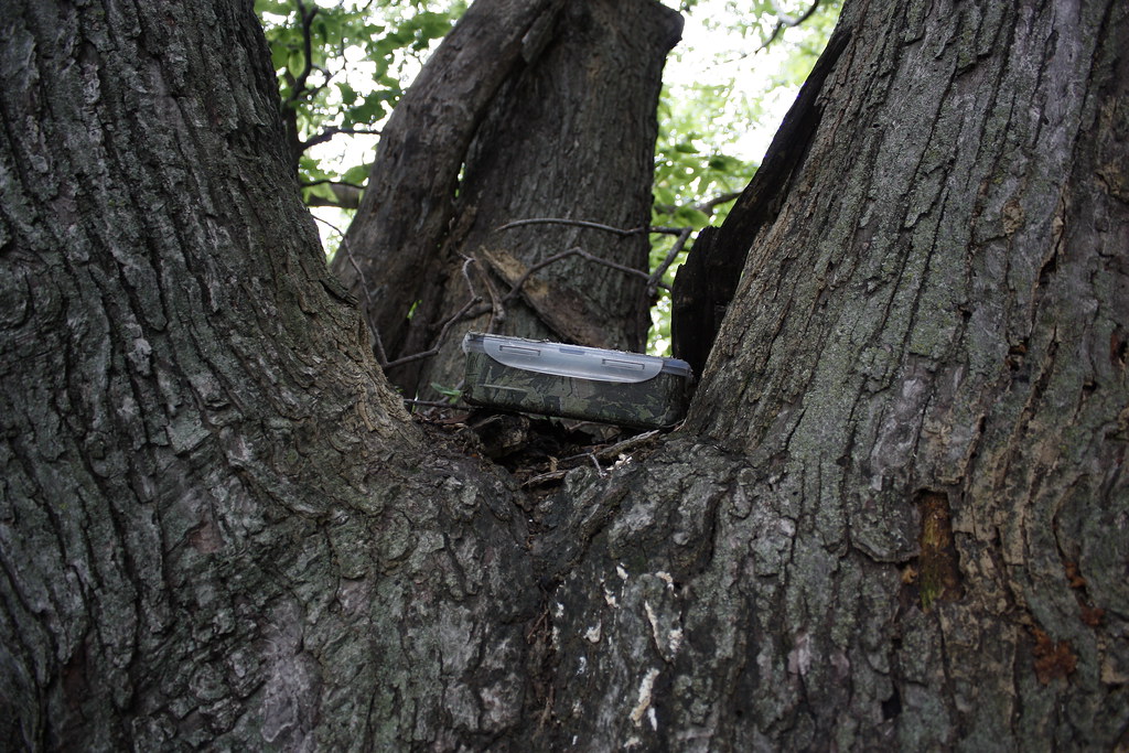
Eye Ain't got no view
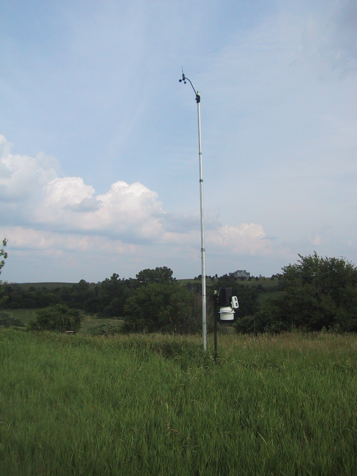
Weather station full view looking southeast

Liz at the powder magazine
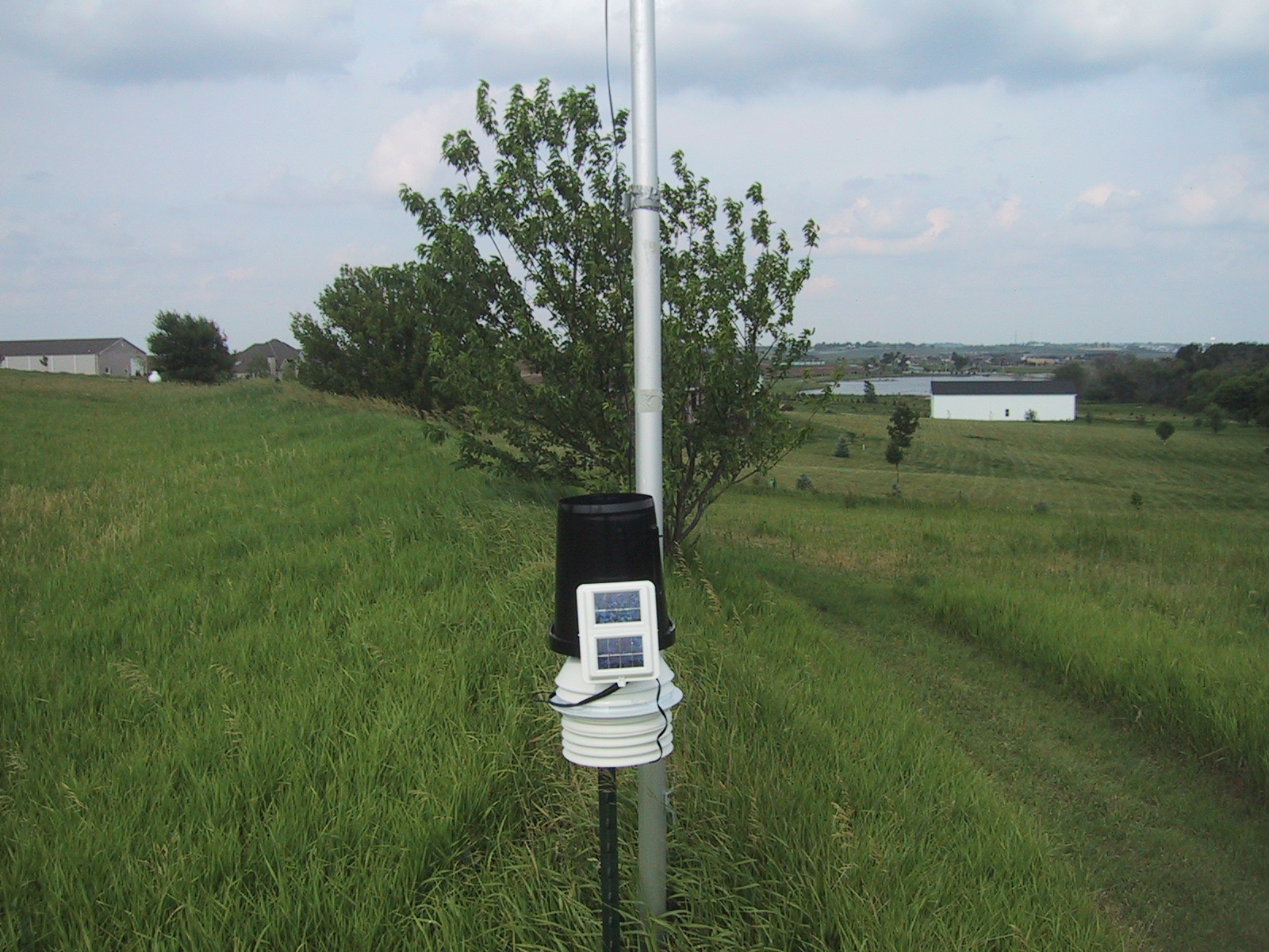
weather station view looking east
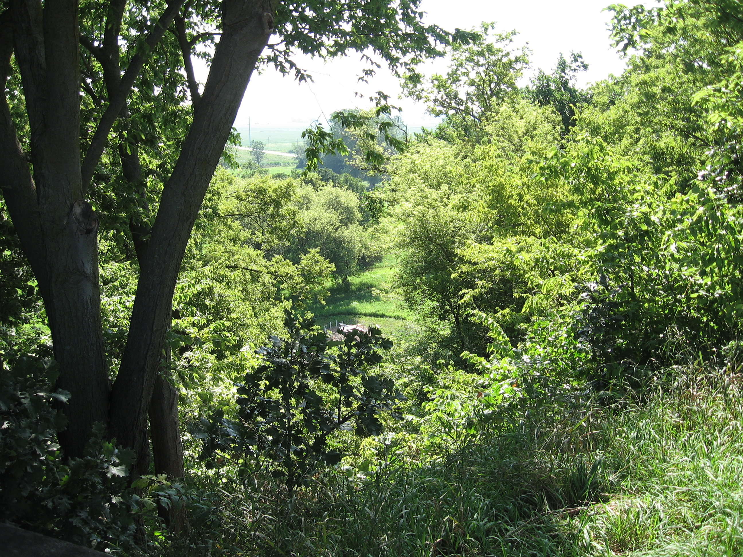
View from the bluff at Fort Atkinson
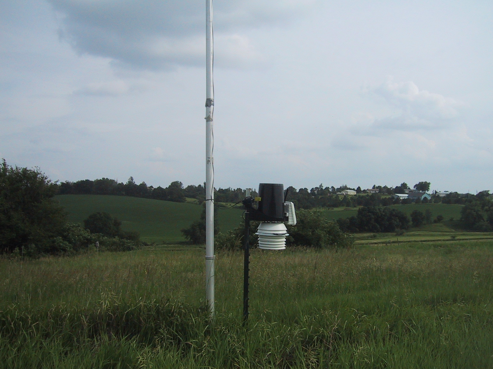
Weather station view looking south
Eye Ain't got no view contents
Hero near Eye Ain't got no view
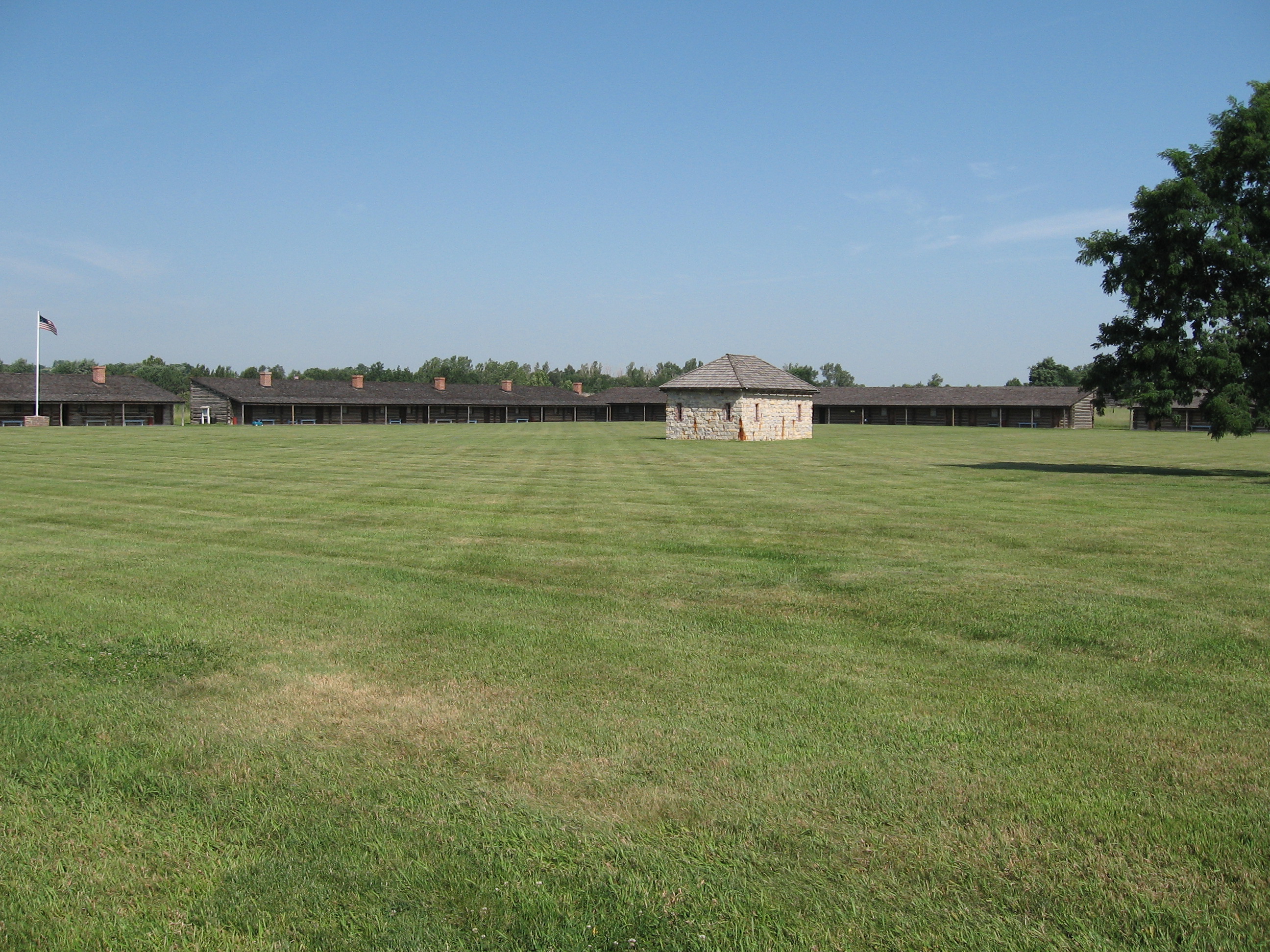
Fort Atkinson State Park

untitled-1_HDR.jpg

BackyardHDR3_HDR.jpg

JCR_0643_HDR.jpg
JCR_0652_HDR.jpg

Three Elements

C 175

Sticks and Stones

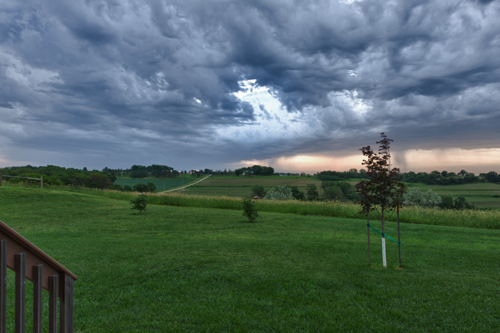
Putting the Sun to Bed

Through Rose Colored Glasses

Fields of Gold

Mrs Leavenworth's Locust Grove

Foggy Morning on The Edge of Nowhere.

Lightning and Rainbows at Sunset

Lightning and Rainbows at Sunset: Timelapse in HD
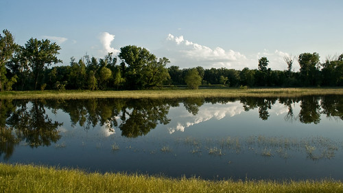
Midwest Reflected

The Missouri River Looking Upstream
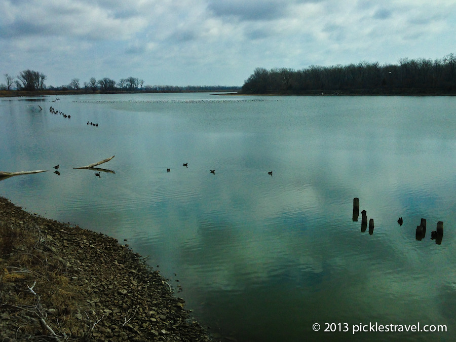
Geece at DeSoto

IMG_9767-Edit

blue dragonfly
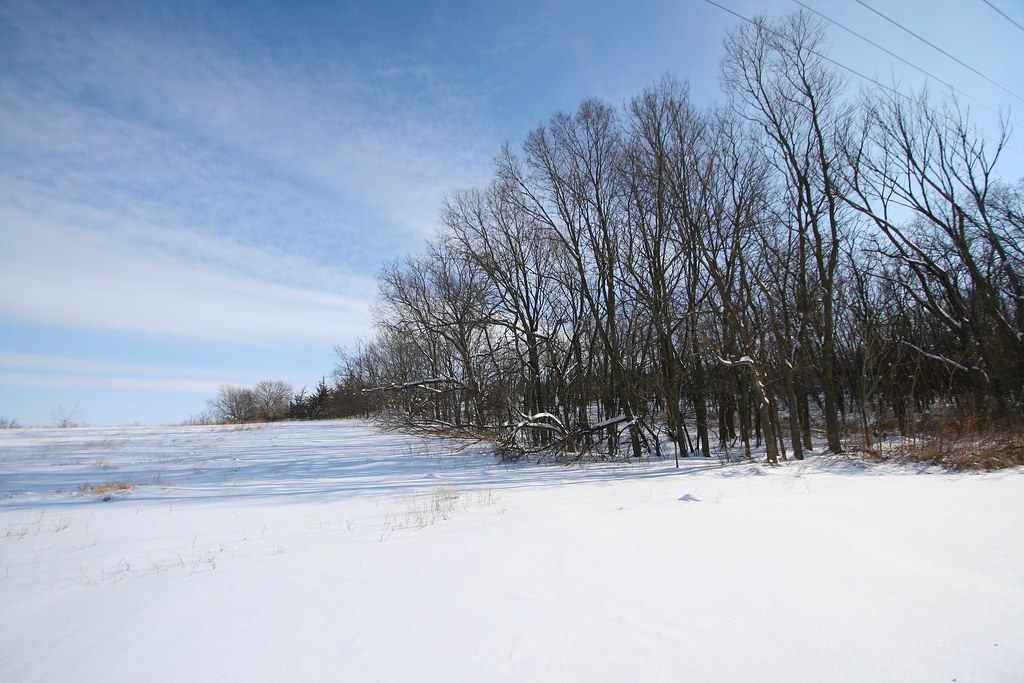
Snowy Landscape

USAF 549th Strategic Missile Squadron Site B (SM-65D Atlas-D) ICBM launch complex
Topographic Map of Lincoln Hwy & Rd 27, Kennard, NE, USA
Find elevation by address:

Places near Lincoln Hwy & Rd 27, Kennard, NE, USA:
401 N Pine St
Kennard
Maple St, Kennard, NE, USA
18522 County Rd 32
7, NE, USA
Washington
Jefferson St, Washington, NE, USA
11060 S Lakeshore Dr
4861 N Ranch Cir
12503 N 179th St
North 157th Street
Bennington
Jefferson
7513 N 155th St
14616 Craig St
Douglas County
6426 N 160th Ave
Union
13310 Jaynes Plaza
11011 Bauman Cir
Recent Searches:
- Elevation of Corso Fratelli Cairoli, 35, Macerata MC, Italy
- Elevation of Tallevast Rd, Sarasota, FL, USA
- Elevation of 4th St E, Sonoma, CA, USA
- Elevation of Black Hollow Rd, Pennsdale, PA, USA
- Elevation of Oakland Ave, Williamsport, PA, USA
- Elevation of Pedrógão Grande, Portugal
- Elevation of Klee Dr, Martinsburg, WV, USA
- Elevation of Via Roma, Pieranica CR, Italy
- Elevation of Tavkvetili Mountain, Georgia
- Elevation of Hartfords Bluff Cir, Mt Pleasant, SC, USA