Elevation of Bear Tooth Pass Highway, Bear Tooth Pass Hwy, Cody, WY, USA
Location: United States > Wyoming > Cody >
Longitude: -109.66814
Latitude: 44.933827
Elevation: 2377m / 7799feet
Barometric Pressure: 76KPa
Elevation Map:
Satellite Map:
Related Photos:

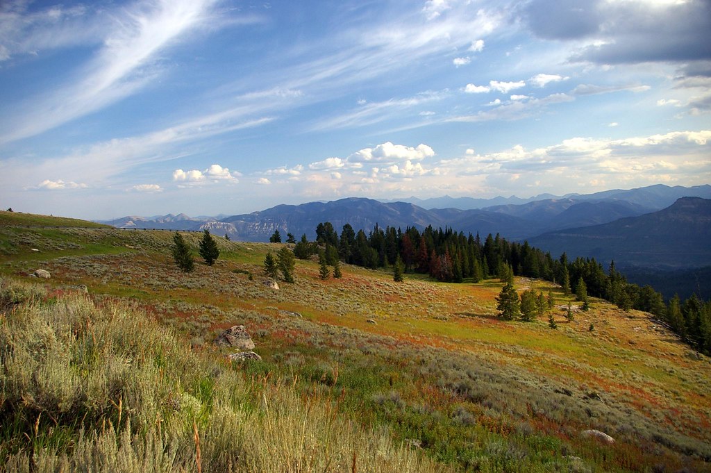
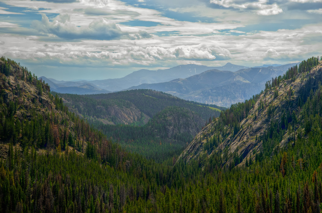
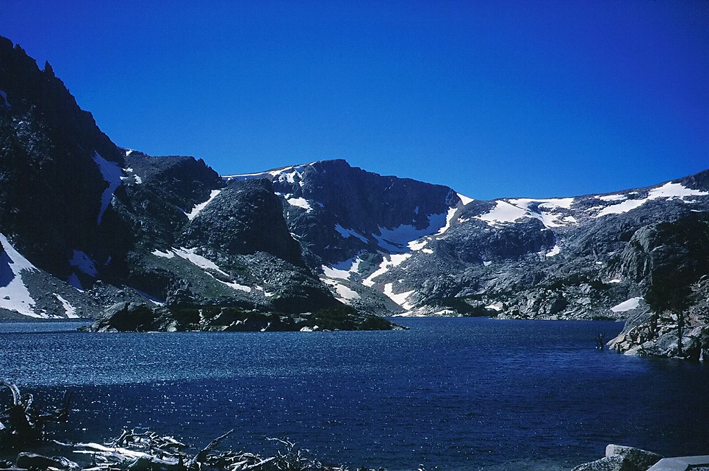
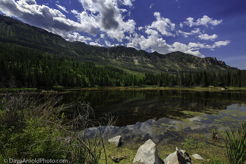
Little Bear Lake
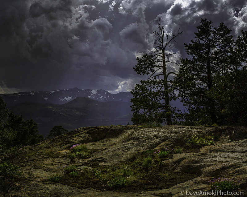
What A View This Tree Has..
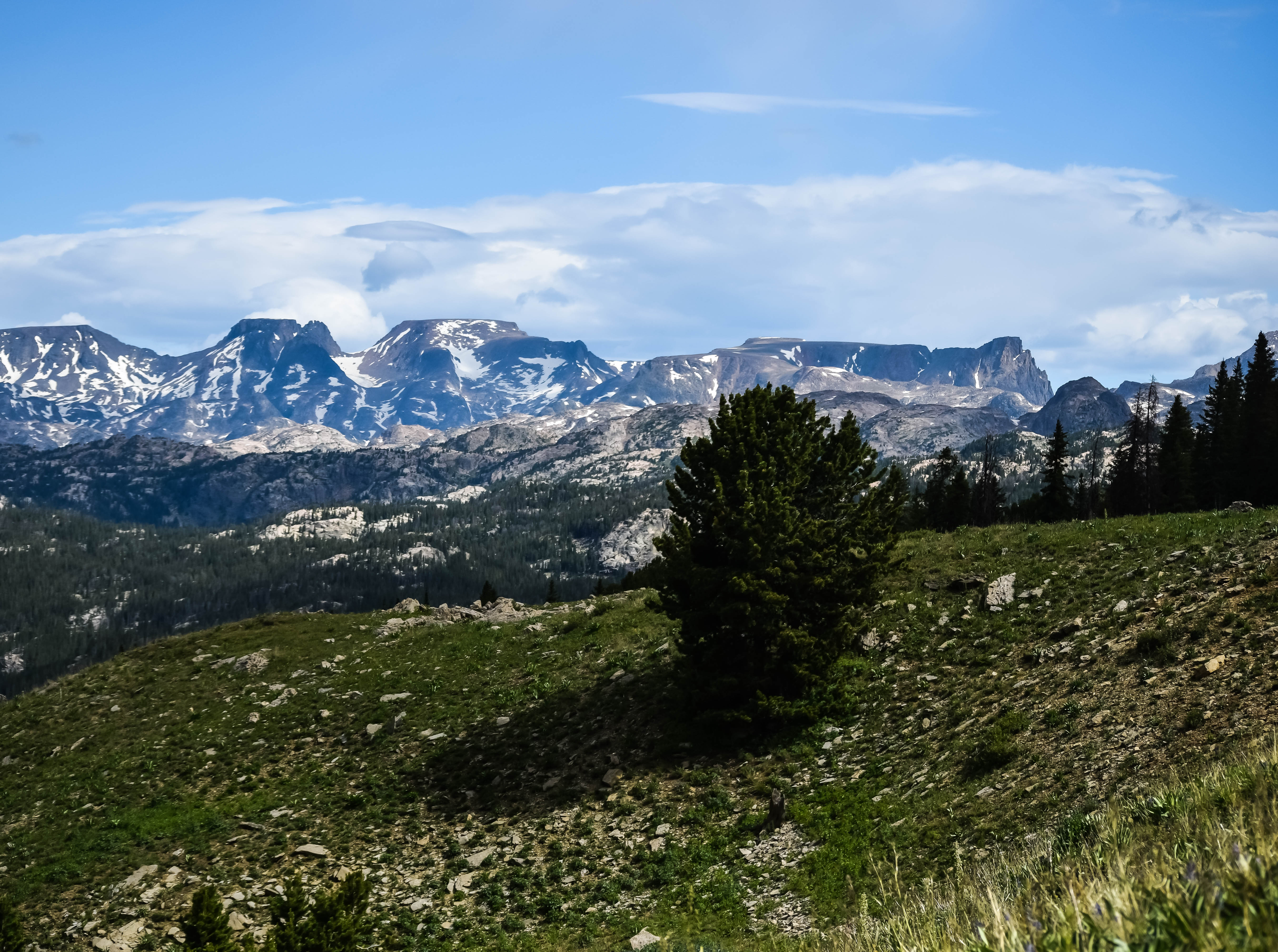
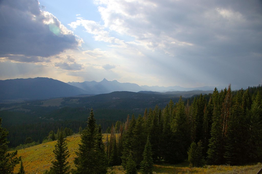
Beartooth Hwy @ 11,000 ft
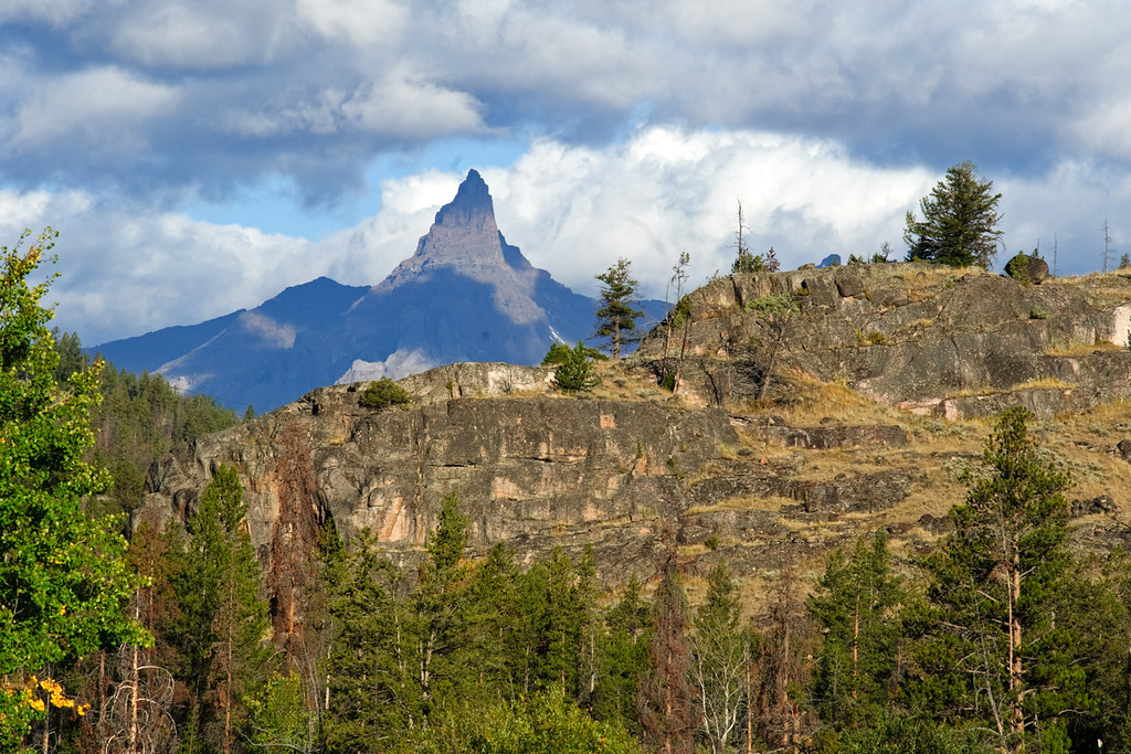
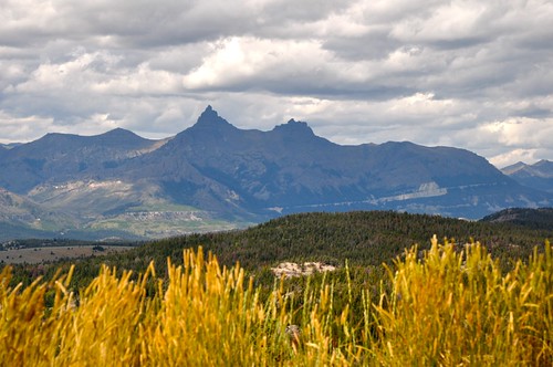
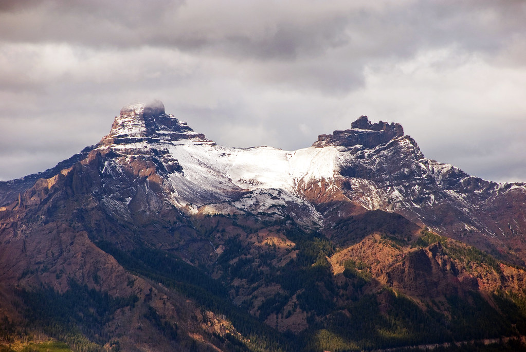
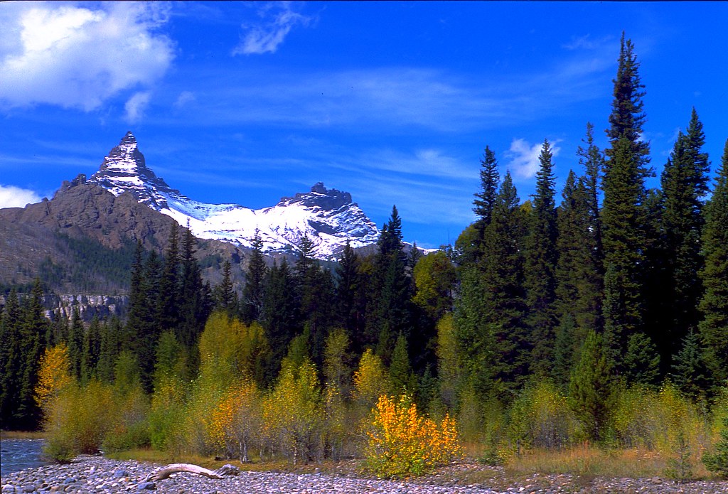
Pilot Peak
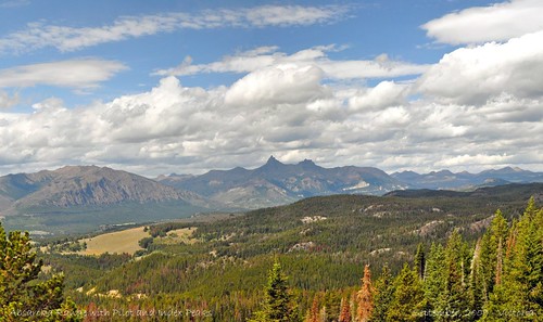
Panoramic view from Pilot-Index overlook
Beartooth Highway - An All American Road
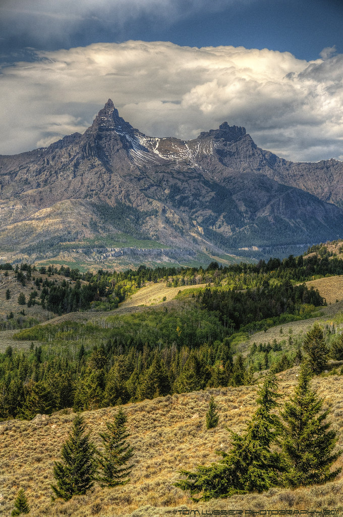
Pilot and Index Peaks... Wyoming roadside scenery...
Descending on the Beartooth
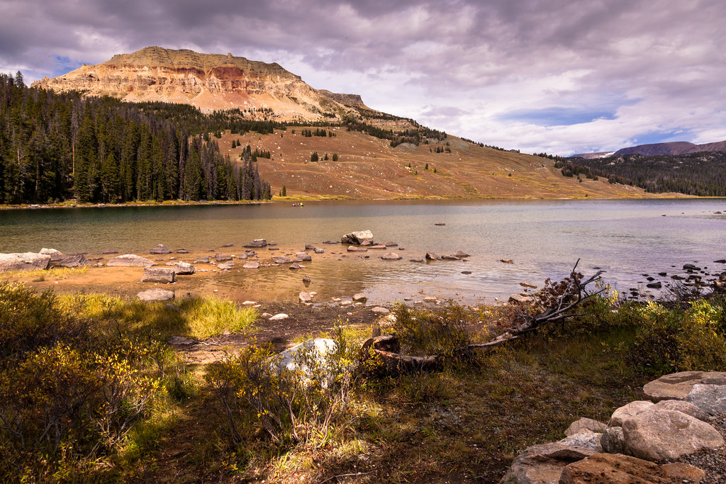
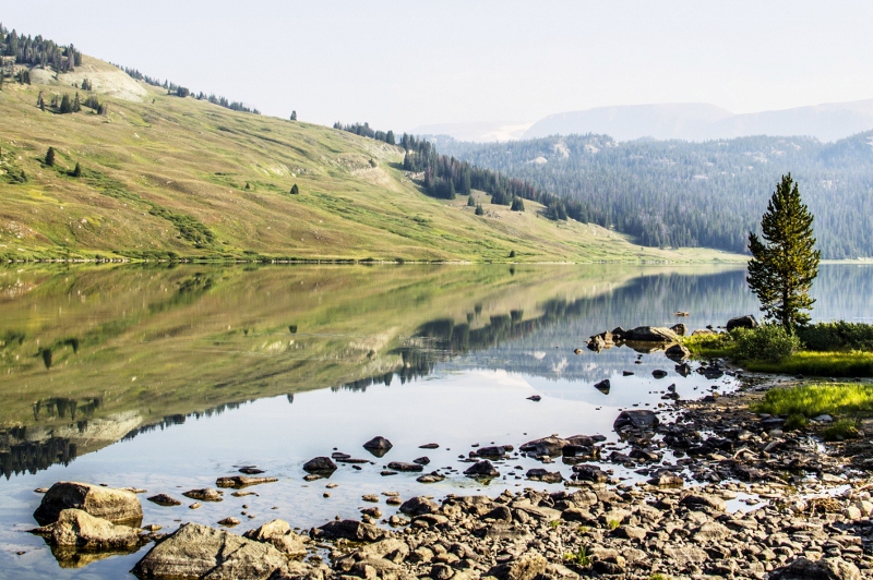
Beartooth Lake
Beartooth Highway - An All American Road
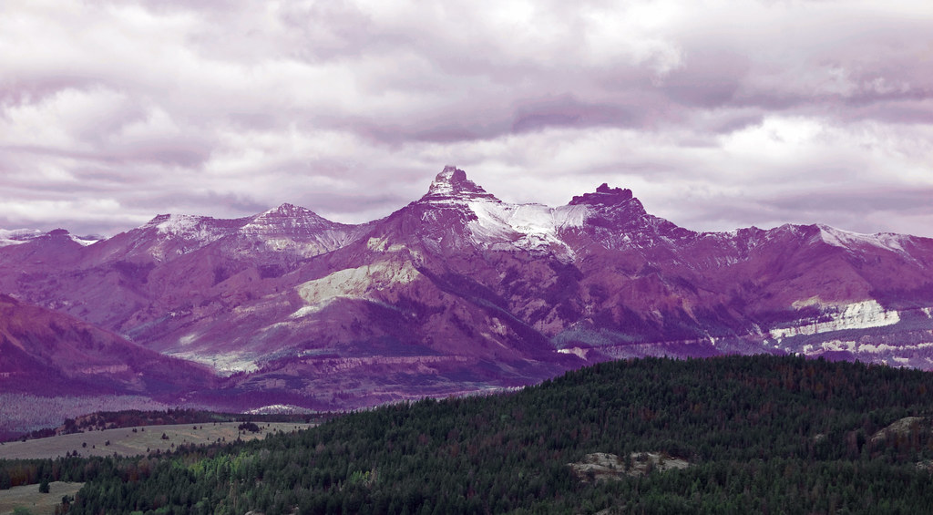
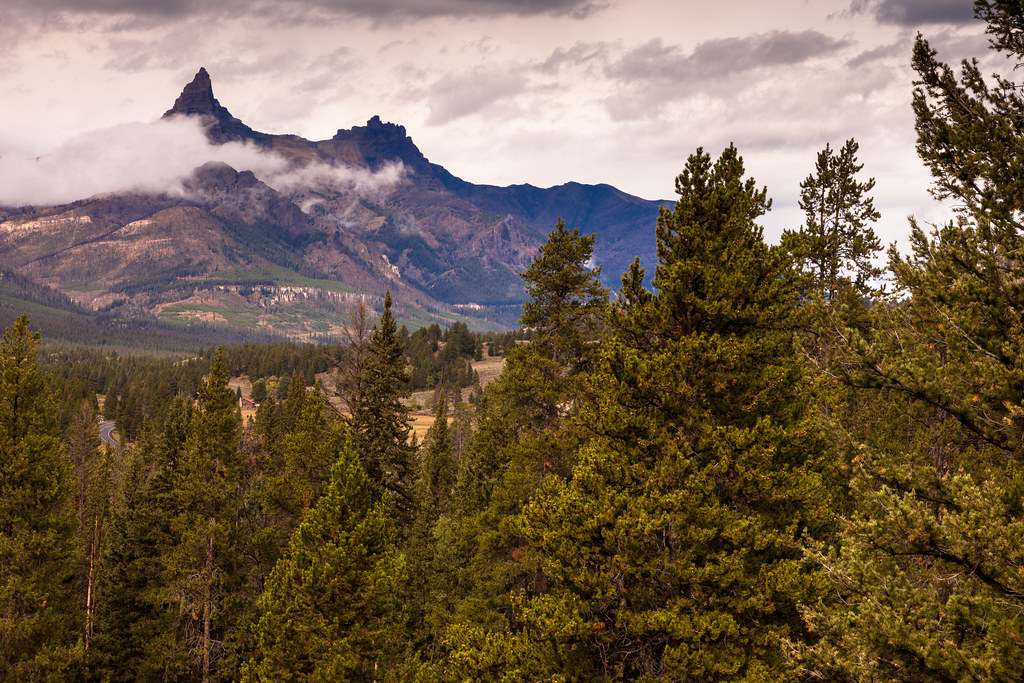
Pilot-Index peaks
Absaroka Mountains
Pilot and Index Peaks in Wyoming... Panorama... 2009
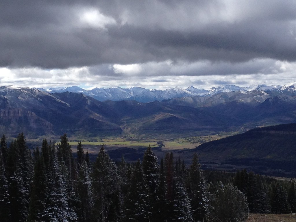
Beartooth Mountains
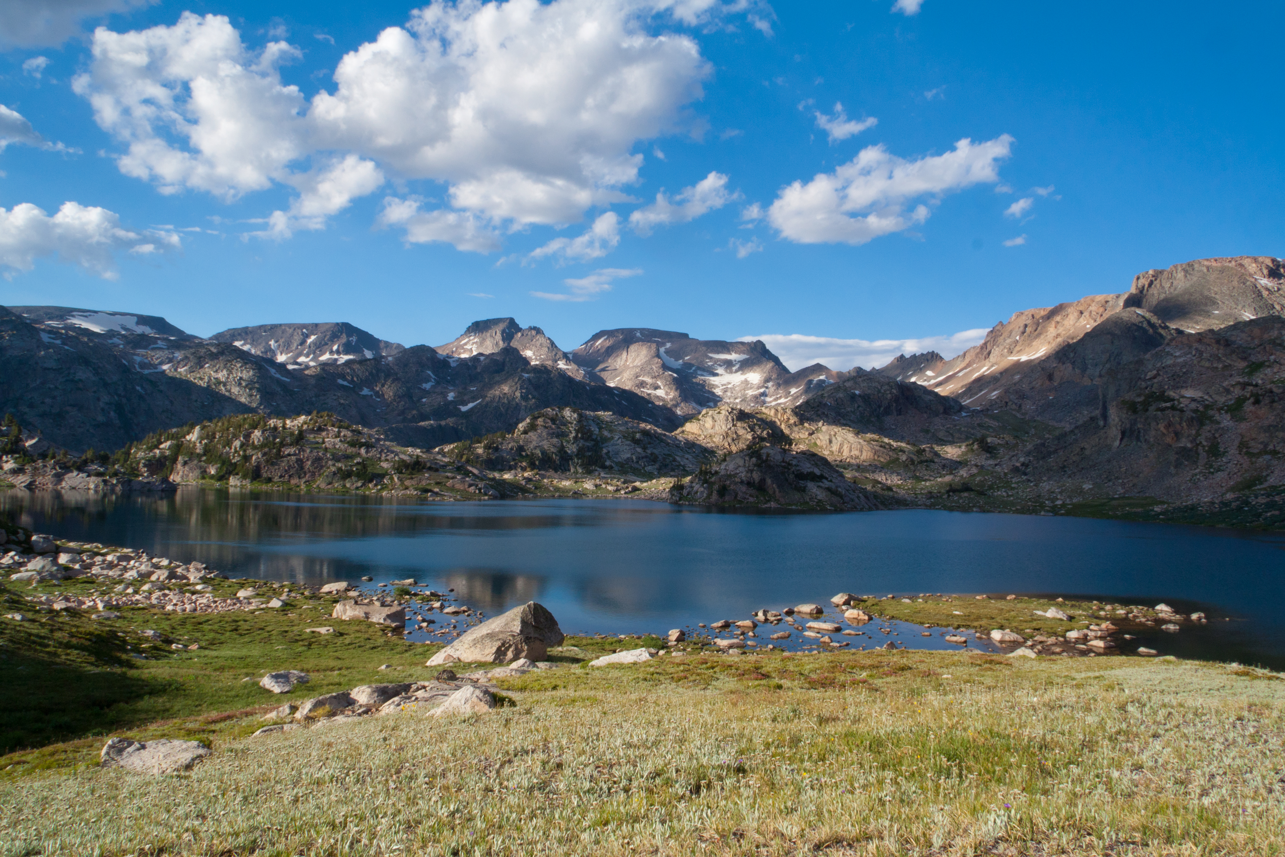
Crystal Lake
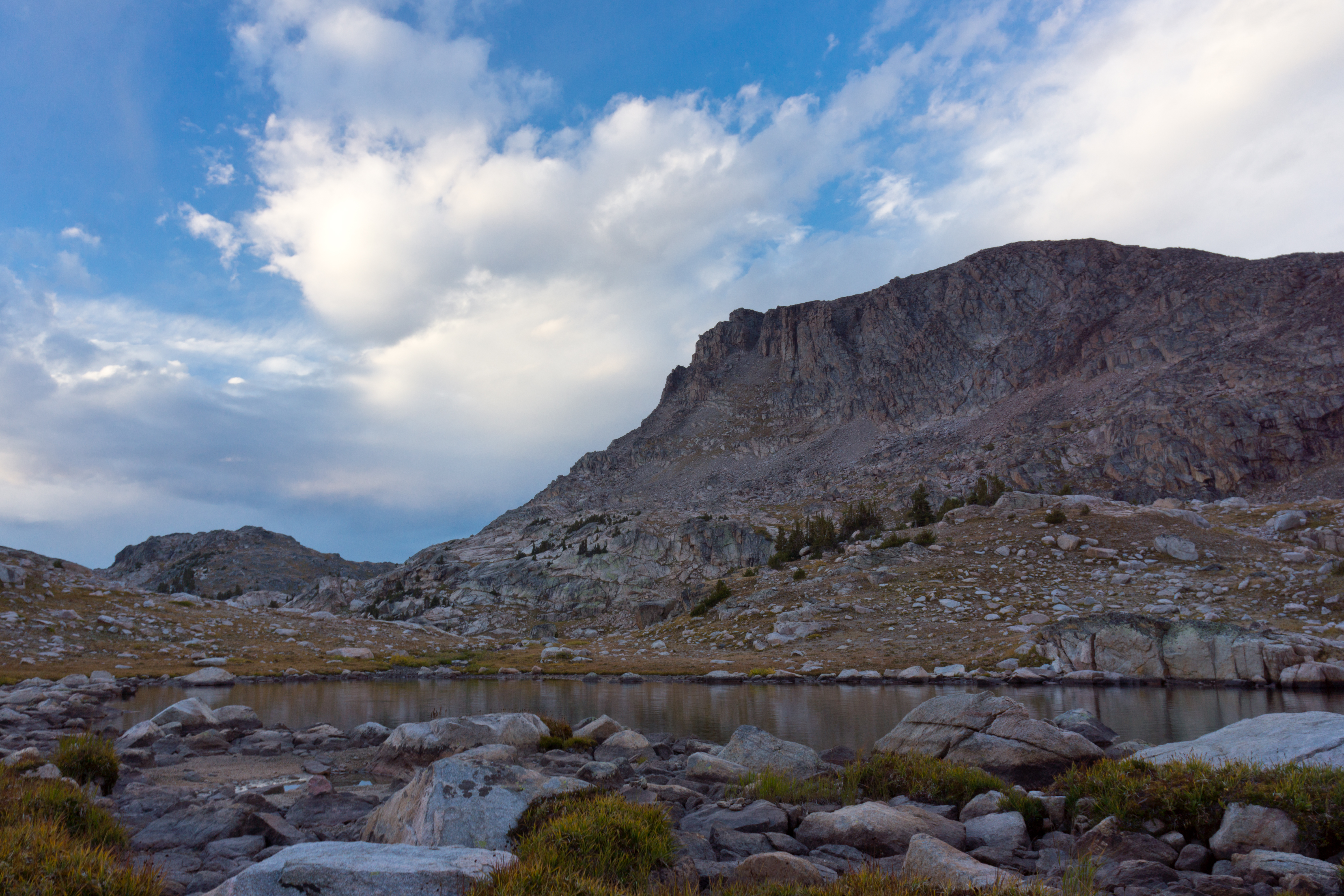
Lonesome Lake

Beartooth Lake
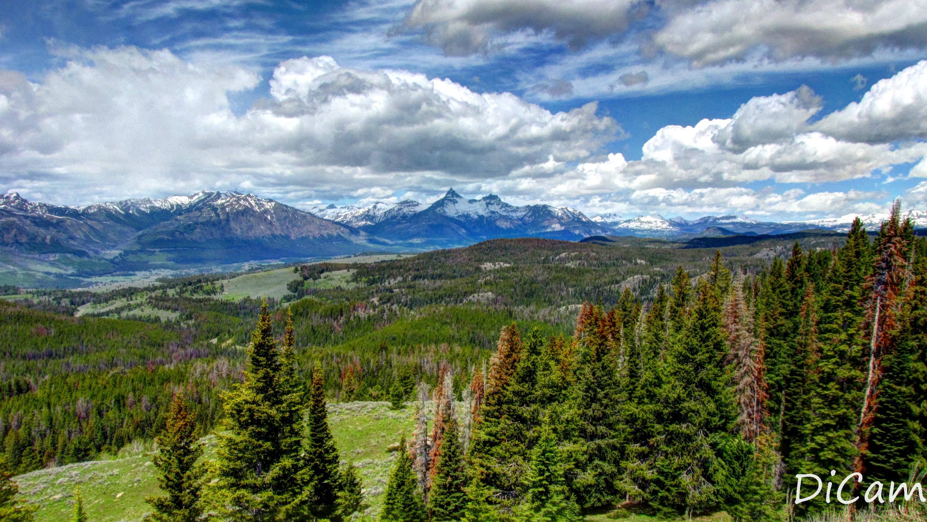
beartooth hwy
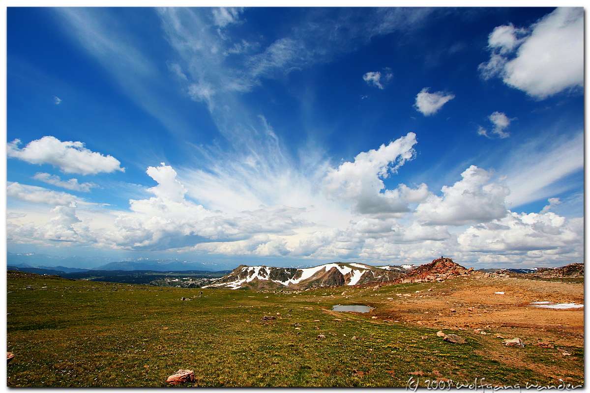
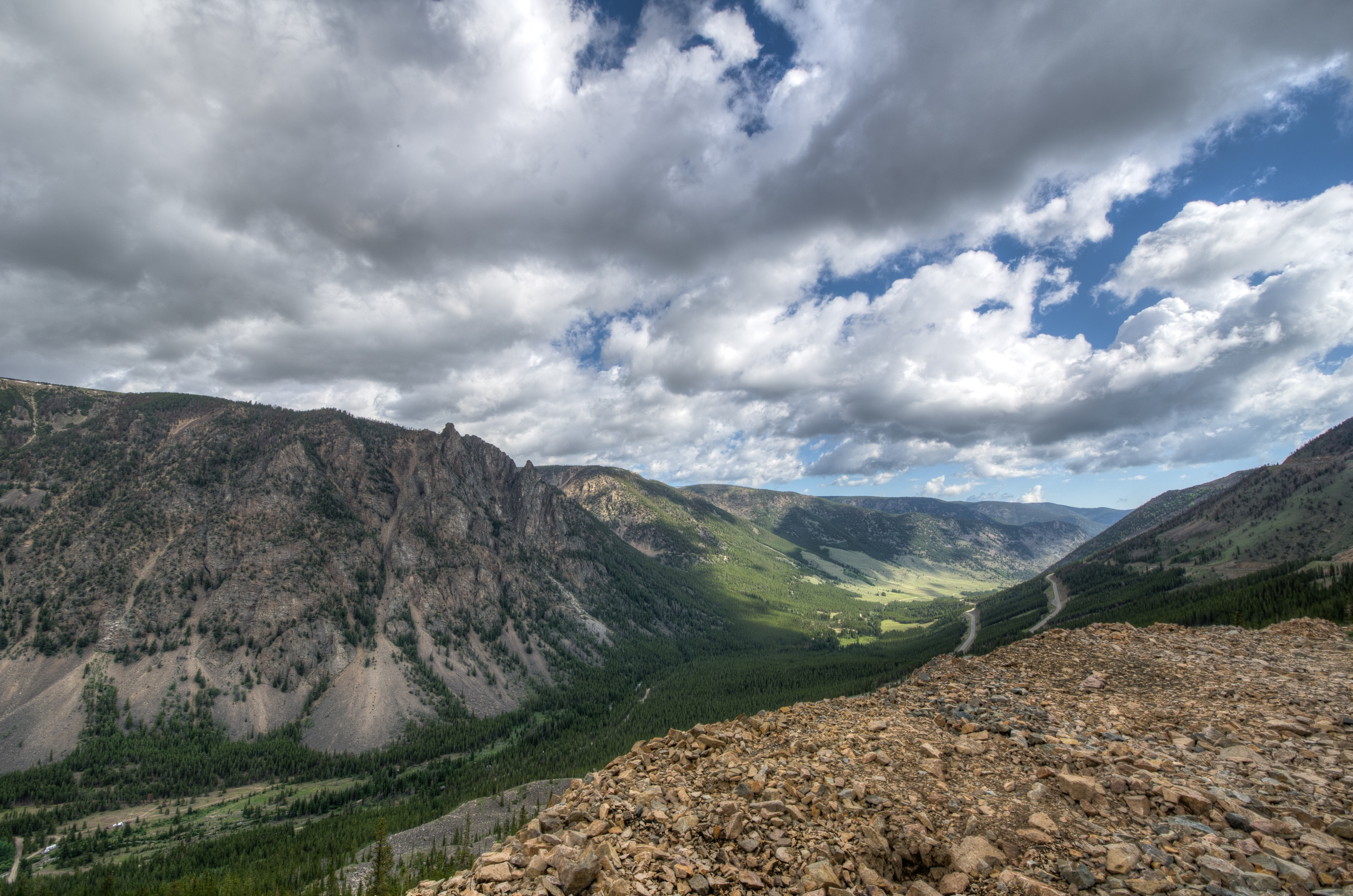
Mountain Pass View from Beartooth Highway
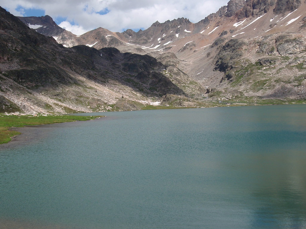
Flat Rock Lake
Beartooth Highway View -- 9/2004
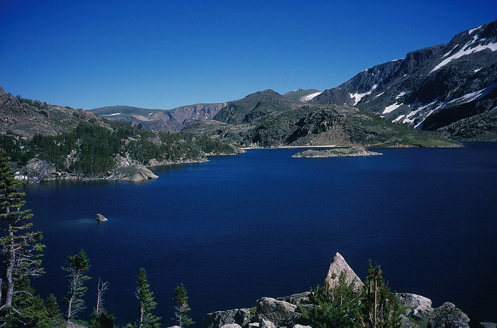
Glacier Lake
Extended liberties
Glacier Lake
Upper Lake on Beartooth Pass
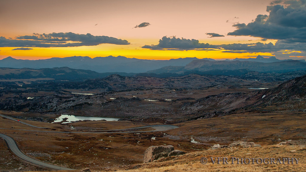
Descent into twilight
HDR - Beartooth Pass alpine lake
The Crack of Dawn
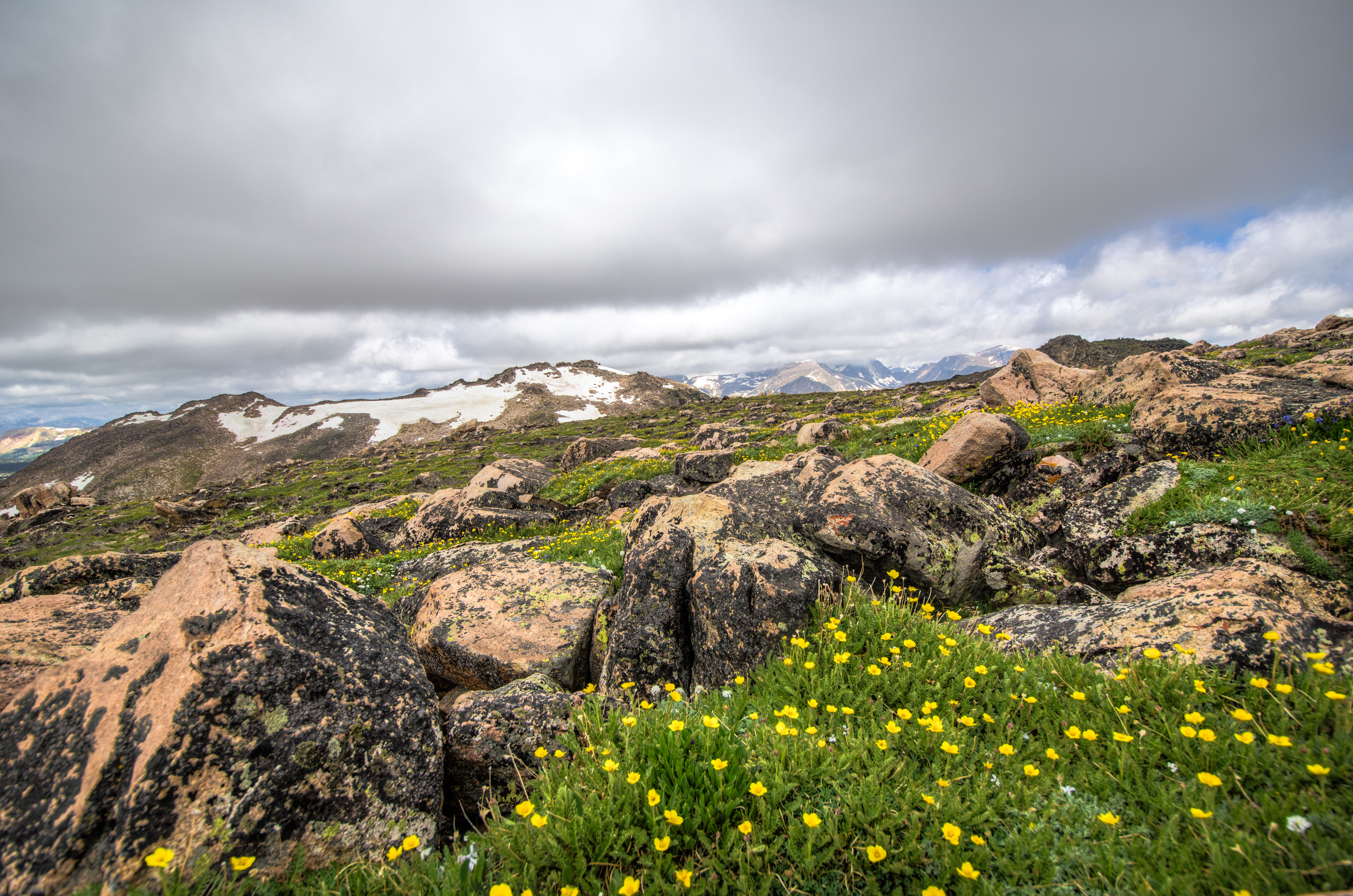
Alpine serenity
Beartooth Highway - HDR
Lake Creek - (Explore 12/26/2013)
20130706-DSC_1136_7_8.jpg
HDR - Beartooth Highway
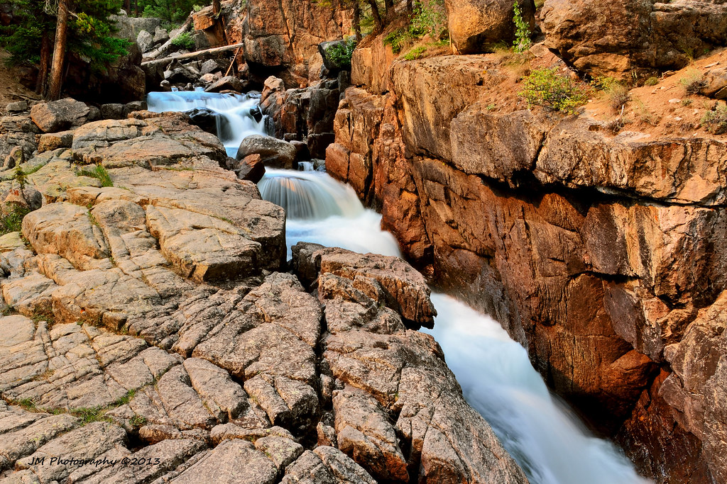
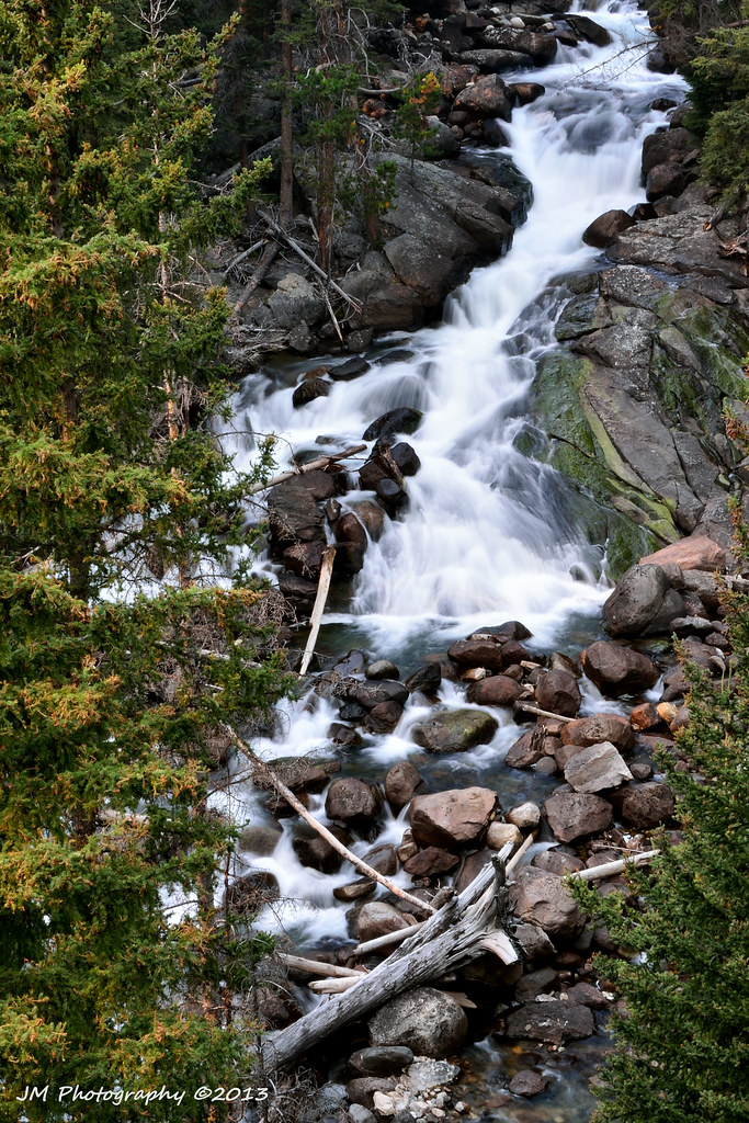
Lake Creek Canyon
Riding along with Chief Joseph
Topographic Map of Bear Tooth Pass Highway, Bear Tooth Pass Hwy, Cody, WY, USA
Find elevation by address:

Places near Bear Tooth Pass Highway, Bear Tooth Pass Hwy, Cody, WY, USA:
Beartooth Highway
2823 Us-212
Sawtooth Mountain
85 The Way West Rd
140 Sunlight Rd
Park County
Dead Indian Summit Overlook
The Wall
52 Moore Rd
81 Rd 6cu
24 Rd 6cu
93 Copperleaf Dr
86 Wapiti Heights Dr
86 Wapiti Heights Dr
26 Talon Dr
59 Wapiti Heights Dr
3006 N Fork Hwy
59 Green Creek Rd
29 Pack Saddle Trail
36 Haman Mccall Trail
Recent Searches:
- Elevation of Corso Fratelli Cairoli, 35, Macerata MC, Italy
- Elevation of Tallevast Rd, Sarasota, FL, USA
- Elevation of 4th St E, Sonoma, CA, USA
- Elevation of Black Hollow Rd, Pennsdale, PA, USA
- Elevation of Oakland Ave, Williamsport, PA, USA
- Elevation of Pedrógão Grande, Portugal
- Elevation of Klee Dr, Martinsburg, WV, USA
- Elevation of Via Roma, Pieranica CR, Italy
- Elevation of Tavkvetili Mountain, Georgia
- Elevation of Hartfords Bluff Cir, Mt Pleasant, SC, USA