Elevation of Baintha Brakk
Longitude: 75.7525
Latitude: 35.9477778
Elevation: 4728m / 15512feet
Barometric Pressure: 56KPa
Elevation Map:
Satellite Map:
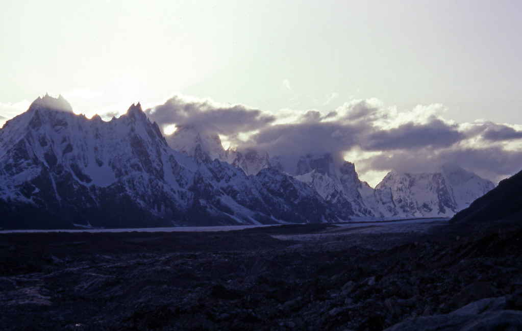
Related Photos:

Pakistan_1993_10_View over Biafo glacier from Baintha (BA-50)
Pakistan_1993_11_View over Biafo glacier from Baintha (BB-2)
Topographic Map of Baintha Brakk
Find elevation by address:

Places near Baintha Brakk:
Sildi
Kanjut Sar
Kanjut Sar I
Shigar
Yutmaru Sar
Yukshin Gardan Sar
Hispar Glacier
Shigar Fort Residence
Pumari Chhish
Khunjerab National Park
Upper Kachura Lake
Kunyang Chhish
Skardu Airport
Katpana Desert
Ptdc Motel Astak
Skardu
Disteghil Sar
Mulungutti Glacier
Harpoh
Malangutti Sar
Recent Searches:
- Elevation of Corso Fratelli Cairoli, 35, Macerata MC, Italy
- Elevation of Tallevast Rd, Sarasota, FL, USA
- Elevation of 4th St E, Sonoma, CA, USA
- Elevation of Black Hollow Rd, Pennsdale, PA, USA
- Elevation of Oakland Ave, Williamsport, PA, USA
- Elevation of Pedrógão Grande, Portugal
- Elevation of Klee Dr, Martinsburg, WV, USA
- Elevation of Via Roma, Pieranica CR, Italy
- Elevation of Tavkvetili Mountain, Georgia
- Elevation of Hartfords Bluff Cir, Mt Pleasant, SC, USA