Elevation of Yukshin Gardan Sar
Longitude: 75.375
Latitude: 36.2508333
Elevation: 6756m / 22165feet
Barometric Pressure: 42KPa
Elevation Map:
Satellite Map:
Related Photos:
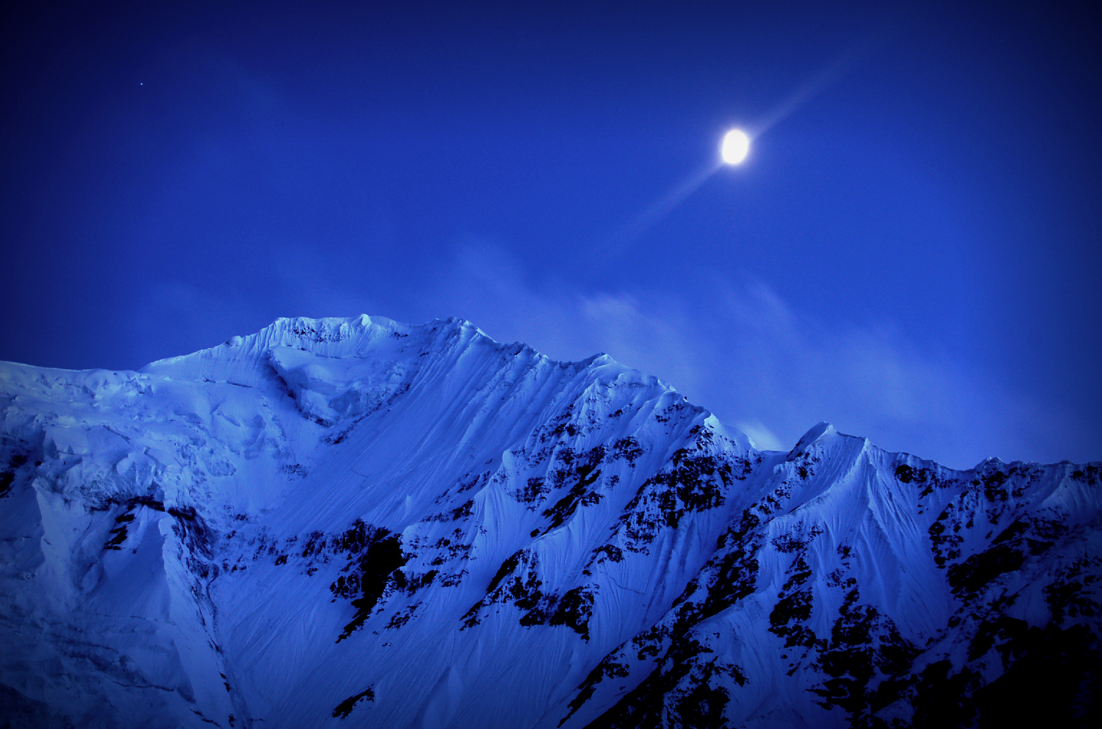
shimshal white horn 6400m
Topographic Map of Yukshin Gardan Sar
Find elevation by address:

Places near Yukshin Gardan Sar:
Yutmaru Sar
Kanjut Sar I
Kanjut Sar
Pumari Chhish
Kunyang Chhish
Hispar Glacier
Disteghil Sar
Mulungutti Glacier
Malangutti Sar
Trivor
Momhil Sar
Khunjerab National Park
Hunza Nagar
Lupghar Sar
Momhil Glacier
Lupghar Yaz Glacier
Spantik
Baintha Brakk
Rush Lake
Attabad Lake
Recent Searches:
- Elevation of Corso Fratelli Cairoli, 35, Macerata MC, Italy
- Elevation of Tallevast Rd, Sarasota, FL, USA
- Elevation of 4th St E, Sonoma, CA, USA
- Elevation of Black Hollow Rd, Pennsdale, PA, USA
- Elevation of Oakland Ave, Williamsport, PA, USA
- Elevation of Pedrógão Grande, Portugal
- Elevation of Klee Dr, Martinsburg, WV, USA
- Elevation of Via Roma, Pieranica CR, Italy
- Elevation of Tavkvetili Mountain, Georgia
- Elevation of Hartfords Bluff Cir, Mt Pleasant, SC, USA