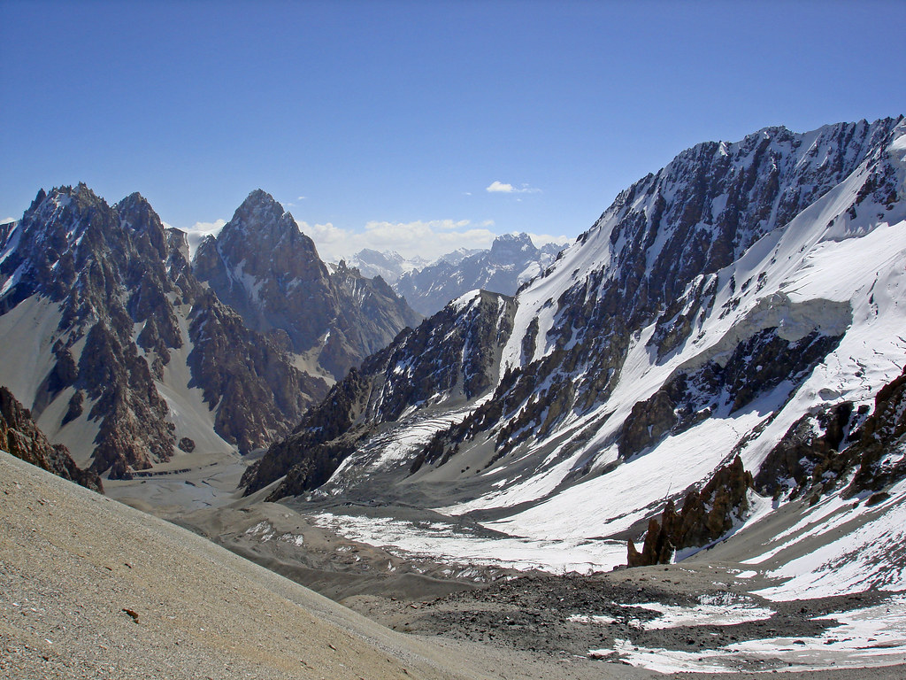
Elevation of Mulungutti Glacier
Longitude: 75.2099821
Latitude: 36.3894944
Elevation: 4240m / 13911feet
Barometric Pressure: 60KPa
Elevation Map:
Satellite Map:
Related Photos:

Pak1 187 Zardgarben
Pak1 188 Zardgarben
Topographic Map of Mulungutti Glacier
Find elevation by address:

Places near Mulungutti Glacier:
Malangutti Sar
Disteghil Sar
Hunza Nagar
Trivor
Momhil Glacier
Pumari Chhish
Kunyang Chhish
Momhil Sar
Lupghar Sar
Lupghar Yaz Glacier
Yukshin Gardan Sar
Yutmaru Sar
Kanjut Sar I
Kanjut Sar
Hispar Glacier
Shisper View Hotel
Passu
Pasu
Passu Glacier Inn
Passu Inn
Recent Searches:
- Elevation of Corso Fratelli Cairoli, 35, Macerata MC, Italy
- Elevation of Tallevast Rd, Sarasota, FL, USA
- Elevation of 4th St E, Sonoma, CA, USA
- Elevation of Black Hollow Rd, Pennsdale, PA, USA
- Elevation of Oakland Ave, Williamsport, PA, USA
- Elevation of Pedrógão Grande, Portugal
- Elevation of Klee Dr, Martinsburg, WV, USA
- Elevation of Via Roma, Pieranica CR, Italy
- Elevation of Tavkvetili Mountain, Georgia
- Elevation of Hartfords Bluff Cir, Mt Pleasant, SC, USA