Elevation of Malangutti Sar
Longitude: 75.1483333
Latitude: 36.3633333
Elevation: 5543m / 18186feet
Barometric Pressure: 50KPa
Elevation Map:
Satellite Map:
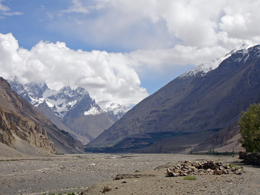
Related Photos:
Pak0 034 Passu to Shimshal

Pak0 030 Passu to Shimshal
Topographic Map of Malangutti Sar
Find elevation by address:

Places near Malangutti Sar:
Disteghil Sar
Mulungutti Glacier
Trivor
Momhil Sar
Lupghar Sar
Momhil Glacier
Lupghar Yaz Glacier
Kunyang Chhish
Hunza Nagar
Pumari Chhish
Yukshin Gardan Sar
Yutmaru Sar
Shisper View Hotel
Passu
Pasu
Passu Glacier Inn
Passu Inn
Hunza Marcopolo Inn Gulmit
Attabad Lake
Chaman Gul
Recent Searches:
- Elevation of Corso Fratelli Cairoli, 35, Macerata MC, Italy
- Elevation of Tallevast Rd, Sarasota, FL, USA
- Elevation of 4th St E, Sonoma, CA, USA
- Elevation of Black Hollow Rd, Pennsdale, PA, USA
- Elevation of Oakland Ave, Williamsport, PA, USA
- Elevation of Pedrógão Grande, Portugal
- Elevation of Klee Dr, Martinsburg, WV, USA
- Elevation of Via Roma, Pieranica CR, Italy
- Elevation of Tavkvetili Mountain, Georgia
- Elevation of Hartfords Bluff Cir, Mt Pleasant, SC, USA