Elevation of Athani, Karnataka, India
Location: India > Karnataka > Belagavi > Athani >
Longitude: 75.0640929
Latitude: 16.7268811
Elevation: 573m / 1880feet
Barometric Pressure: 0KPa
Related Photos:

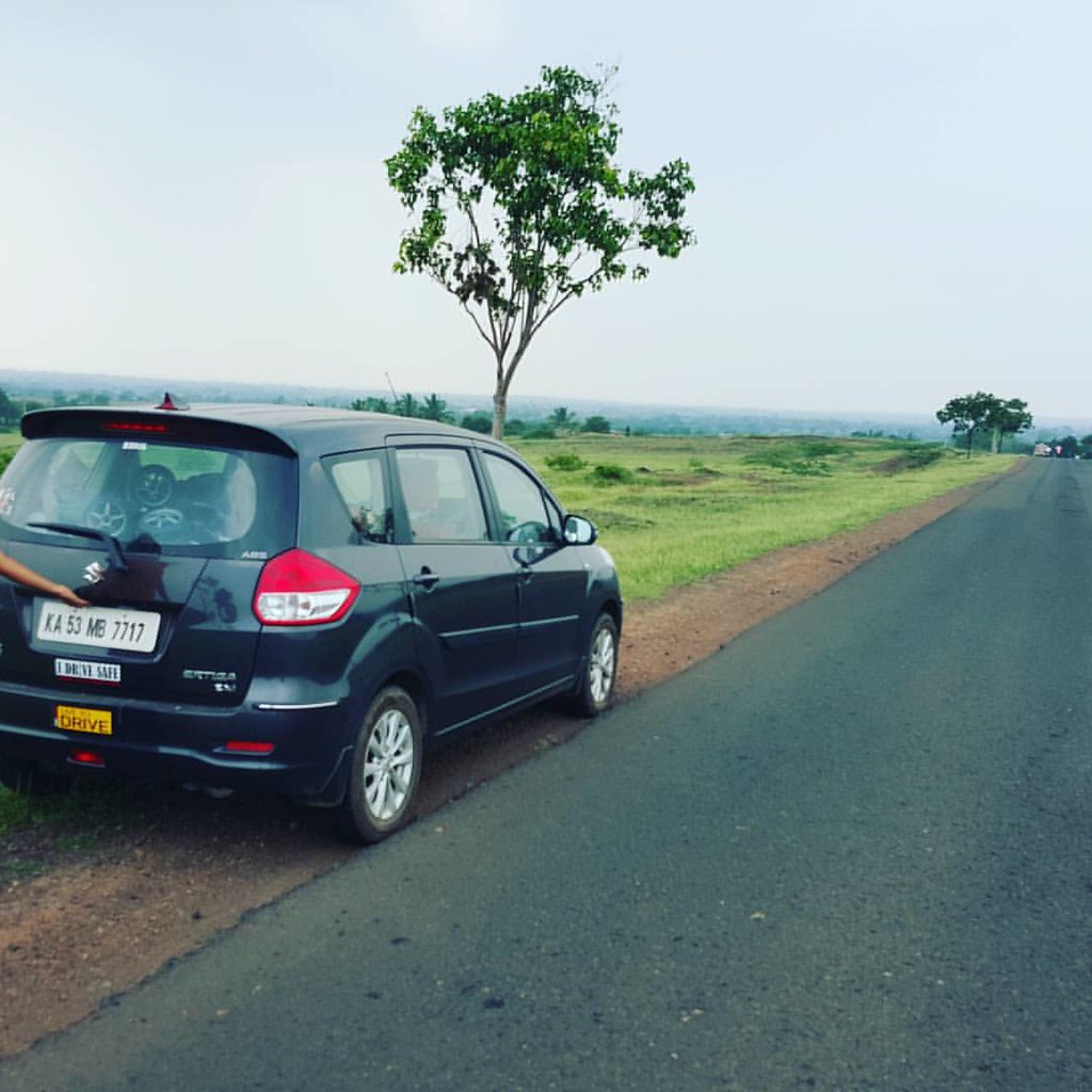
Close to home
On way to home

#WindTurbine #blades #blue #sky

Raayara Matha

Raayara Matha

S.M.S College

S.M.S College

S.M.S College

S.M.S College

J.A. High School

07072008(003)_NLT
Topographic Map of Athani, Karnataka, India
Find elevation by address:

Places near Athani, Karnataka, India:
Athani
Khot Vasti
Santoshwadi
Shipur
Vyankuchiwadi
Royal Palace School & P U College
Erandoli
Patil Vasati
Jamkhandi
Primary School Nagargojewadi
Raibag
Malgaon
Ganeshwadi
Bolwad
Khanatti
Takali
Hasur
Khidrapur
Miraj - Malgaon Main Road
Subhashnagar
Recent Searches:
- Elevation of Pasing, Munich, Bavaria, 81241, Germany
- Elevation of 24, Auburn Bay Crescent SE, Auburn Bay, Calgary, Alberta, T3M 0A6, Canada
- Elevation of Denver, 2314, Arapahoe Street, Five Points, Denver, Colorado, 80205, USA
- Elevation of Community of the Beatitudes, 2924, West 43rd Avenue, Sunnyside, Denver, Colorado, 80211, USA
- Elevation map of Litang County, Sichuan, China
- Elevation map of Madoi County, Qinghai, China
- Elevation of 3314, Ohio State Route 114, Payne, Paulding County, Ohio, 45880, USA
- Elevation of Sarahills Drive, Saratoga, Santa Clara County, California, 95070, USA
- Elevation of Town of Bombay, Franklin County, New York, USA
- Elevation of 9, Convent Lane, Center Moriches, Suffolk County, New York, 11934, USA
- Elevation of Saint Angelas Convent, 9, Convent Lane, Center Moriches, Suffolk County, New York, 11934, USA
- Elevation of 131st Street Southwest, Mukilteo, Snohomish County, Washington, 98275, USA
- Elevation of 304, Harrison Road, Naples, Cumberland County, Maine, 04055, USA
- Elevation of 2362, Timber Ridge Road, Harrisburg, Cabarrus County, North Carolina, 28075, USA
- Elevation of Ridge Road, Marshalltown, Marshall County, Iowa, 50158, USA
- Elevation of 2459, Misty Shadows Drive, Pigeon Forge, Sevier County, Tennessee, 37862, USA
- Elevation of 8043, Brightwater Way, Spring Hill, Williamson County, Tennessee, 37179, USA
- Elevation of Starkweather Road, San Luis, Costilla County, Colorado, 81152, USA
- Elevation of 5277, Woodside Drive, Baton Rouge, East Baton Rouge Parish, Louisiana, 70808, USA
- Elevation of 1139, Curtin Street, Shepherd Park Plaza, Houston, Harris County, Texas, 77018, USA