Elevation of Erandoli, Maharashtra, India
Location: India > Maharashtra > Sangli >
Longitude: 74.7746684
Latitude: 16.8498609
Elevation: 616m / 2021feet
Barometric Pressure: 0KPa
Related Photos:

Scaly-breasted munia

Purple Sunbird (शक्कर खोरा, सूर्यपक्षी, शिंजीर)

Siamese Twin Gerbera daisy..

Chicken platter after long time

Under Construction

Baya weaver (सुगरण)
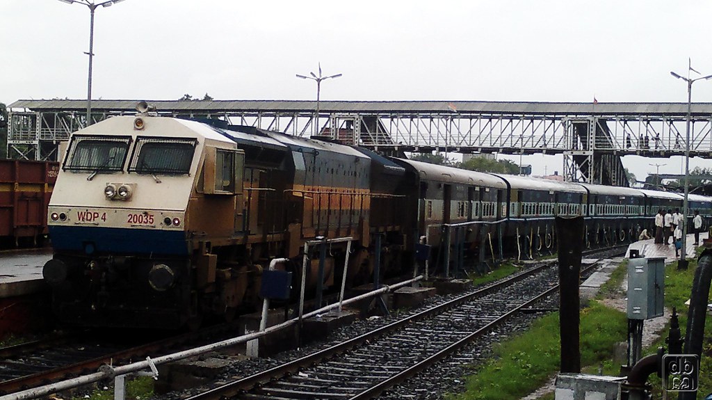
WDP4 20035
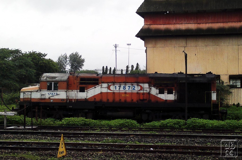
Jumbo WDM2 17872

Coconut Water....
Topographic Map of Erandoli, Maharashtra, India
Find elevation by address:

Places near Erandoli, Maharashtra, India:
Vyankuchiwadi
Shipur
Malgaon
Patil Vasati
Primary School Nagargojewadi
Takali
Bolwad
Miraj - Malgaon Main Road
Santoshwadi
Subhashnagar
Shegaon Gajanan Maharaj Mandir
Dindi Ves
Vijapur Ves
Shaniwar Peth
Savali
Shanthisagar Colony
Miraj
Shivaji Nagar
Midc Industrial Area
Samastanagar
Recent Searches:
- Elevation of 908, Northwood Drive, Bridge Field, Chesapeake, Virginia, 23322, USA
- Elevation map of Nagano Prefecture, Japan
- Elevation of 587, Bascule Drive, Oakdale, Stanislaus County, California, 95361, USA
- Elevation of Stadion Wankdorf, Sempachstrasse, Breitfeld, Bern, Bern-Mittelland administrative district, Bern, 3014, Switzerland
- Elevation of Z024, 76, Emil-von-Behring-Straße, Marbach, Marburg, Landkreis Marburg-Biedenkopf, Hesse, 35041, Germany
- Elevation of Gaskill Road, Hunts Cross, Liverpool, England, L24 9PH, United Kingdom
- Elevation of Speke, Liverpool, England, L24 9HD, United Kingdom
- Elevation of Seqirus, 475, Green Oaks Parkway, Holly Springs, Wake County, North Carolina, 27540, USA
- Elevation of Pasing, Munich, Bavaria, 81241, Germany
- Elevation of 24, Auburn Bay Crescent SE, Auburn Bay, Calgary, Alberta, T3M 0A6, Canada
- Elevation of Denver, 2314, Arapahoe Street, Five Points, Denver, Colorado, 80205, USA
- Elevation of Community of the Beatitudes, 2924, West 43rd Avenue, Sunnyside, Denver, Colorado, 80211, USA
- Elevation map of Litang County, Sichuan, China
- Elevation map of Madoi County, Qinghai, China
- Elevation of 3314, Ohio State Route 114, Payne, Paulding County, Ohio, 45880, USA
- Elevation of Sarahills Drive, Saratoga, Santa Clara County, California, 95070, USA
- Elevation of Town of Bombay, Franklin County, New York, USA
- Elevation of 9, Convent Lane, Center Moriches, Suffolk County, New York, 11934, USA
- Elevation of Saint Angelas Convent, 9, Convent Lane, Center Moriches, Suffolk County, New York, 11934, USA
- Elevation of 131st Street Southwest, Mukilteo, Snohomish County, Washington, 98275, USA