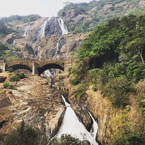
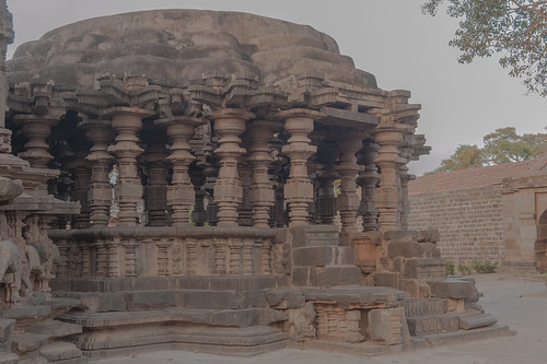
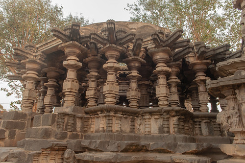
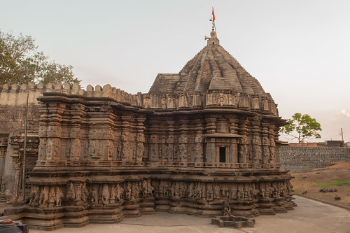
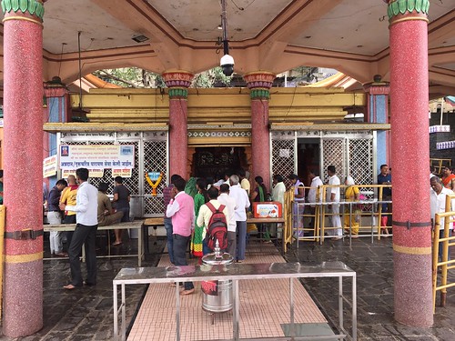
Elevation of Khidrapur, Maharashtra, India
Location: India > Maharashtra > Kolhapur >
Longitude: 74.685418
Latitude: 16.615046
Elevation: 545m / 1788feet
Barometric Pressure: 95KPa
Related Photos:
Topographic Map of Khidrapur, Maharashtra, India
Find elevation by address:

Places near Khidrapur, Maharashtra, India:
Rajapurwadi
Bubnal
Ganeshwadi
Hasur
Dattawad
Nrusinhawadi
Narsoba Chi Wadi Mandir
Kurundwad
Narasoba Wadi
Raibag
Arjunwad
Nandani
Primary School Nagargojewadi
Patil Vasati
Haroli
Bolwad
Miraj
Jaysingpur
Chikodi
Takali
Recent Searches:
- Elevation of Corso Fratelli Cairoli, 35, Macerata MC, Italy
- Elevation of Tallevast Rd, Sarasota, FL, USA
- Elevation of 4th St E, Sonoma, CA, USA
- Elevation of Black Hollow Rd, Pennsdale, PA, USA
- Elevation of Oakland Ave, Williamsport, PA, USA
- Elevation of Pedrógão Grande, Portugal
- Elevation of Klee Dr, Martinsburg, WV, USA
- Elevation of Via Roma, Pieranica CR, Italy
- Elevation of Tavkvetili Mountain, Georgia
- Elevation of Hartfords Bluff Cir, Mt Pleasant, SC, USA
