Elevation of Raibag, Karnataka, India
Location: India > Karnataka > Belagavi >
Longitude: 74.7746684
Latitude: 16.4941345
Elevation: 581m / 1906feet
Barometric Pressure: 0KPa
Related Photos:
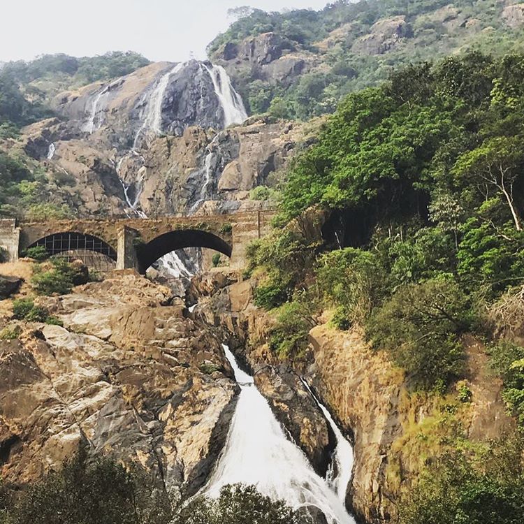
Fierce. Strength. Unstoppable. #throughmysisterseyes #doodhsagar #doodhsagarfalls #goa #instagrammers #igers #instalove #instamood #instagood #iphoneography #instadaily #igaddict
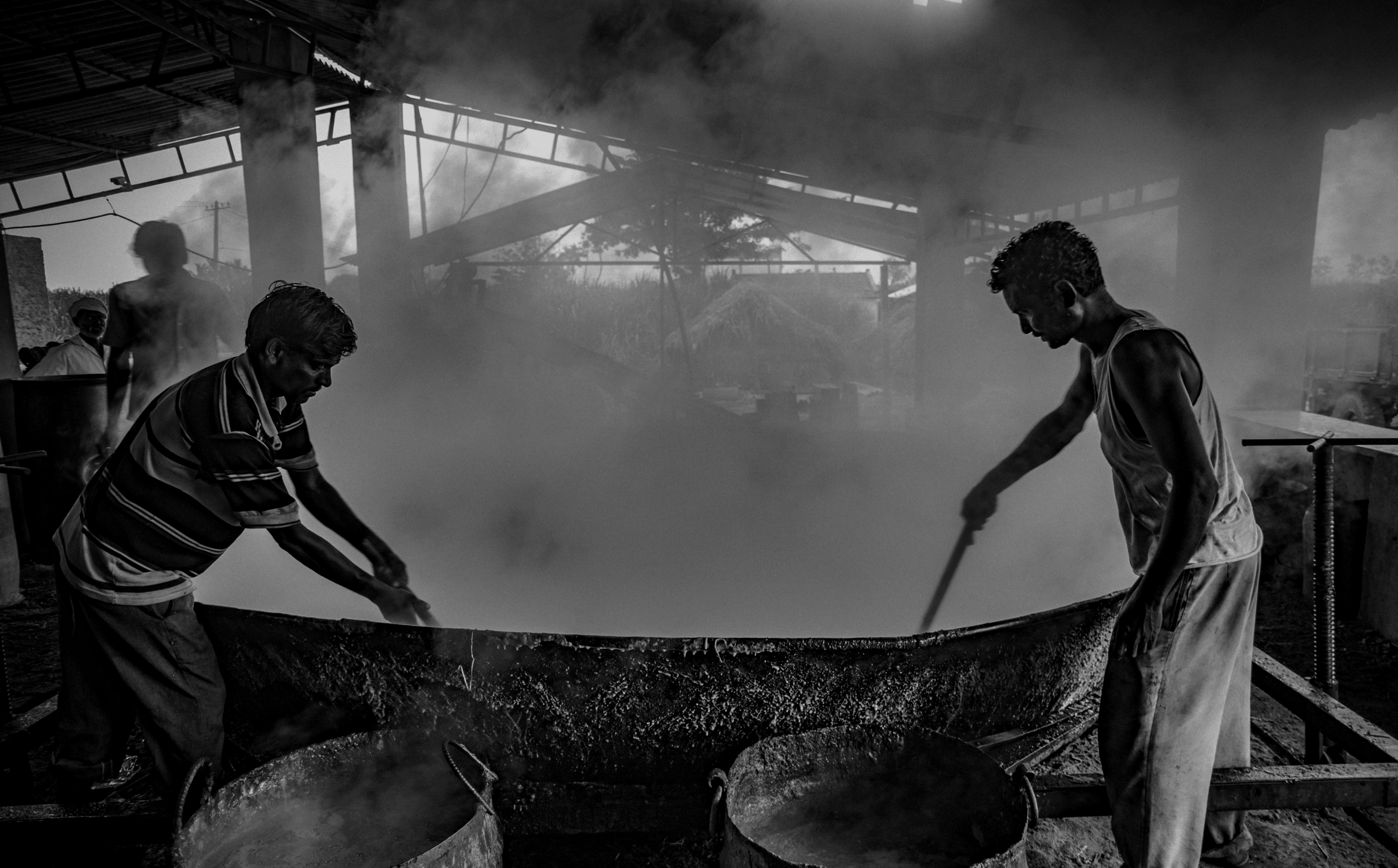
Heat and Toil
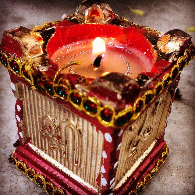
It's back festival of lights, dis year it's got lot more happiness !!!!! Happy Diwali every1
Topographic Map of Raibag, Karnataka, India
Find elevation by address:

Places near Raibag, Karnataka, India:
Khidrapur
Rajapurwadi
Chikodi
Dattawad
Ganeshwadi
Bubnal
Hasur
Kurundwad
Nrusinhawadi
Narsoba Chi Wadi Mandir
Narasoba Wadi
Khanatti
Patil Vasati
Primary School Nagargojewadi
Gokak Taluka
Hukkeri
Arjunwad
Bolwad
Belagavi
Nandani
Recent Searches:
- Elevation map of Greenland, Greenland
- Elevation of Sullivan Hill, New York, New York, 10002, USA
- Elevation of Morehead Road, Withrow Downs, Charlotte, Mecklenburg County, North Carolina, 28262, USA
- Elevation of 2800, Morehead Road, Withrow Downs, Charlotte, Mecklenburg County, North Carolina, 28262, USA
- Elevation of Yangbi Yi Autonomous County, Yunnan, China
- Elevation of Pingpo, Yangbi Yi Autonomous County, Yunnan, China
- Elevation of Mount Malong, Pingpo, Yangbi Yi Autonomous County, Yunnan, China
- Elevation map of Yongping County, Yunnan, China
- Elevation of North 8th Street, Palatka, Putnam County, Florida, 32177, USA
- Elevation of 107, Big Apple Road, East Palatka, Putnam County, Florida, 32131, USA
- Elevation of Jiezi, Chongzhou City, Sichuan, China
- Elevation of Chongzhou City, Sichuan, China
- Elevation of Huaiyuan, Chongzhou City, Sichuan, China
- Elevation of Qingxia, Chengdu, Sichuan, China
- Elevation of Corso Fratelli Cairoli, 35, Macerata MC, Italy
- Elevation of Tallevast Rd, Sarasota, FL, USA
- Elevation of 4th St E, Sonoma, CA, USA
- Elevation of Black Hollow Rd, Pennsdale, PA, USA
- Elevation of Oakland Ave, Williamsport, PA, USA
- Elevation of Pedrógão Grande, Portugal