Elevation of AR-, Clinton, AR, USA
Location: United States > Arkansas > Van Buren County > West Griggs Township > Clinton >
Longitude: -92.439974
Latitude: 35.7406212
Elevation: 441m / 1447feet
Barometric Pressure: 96KPa
Elevation Map:
Satellite Map:
Related Photos:

Pee Dee Creek-Side View

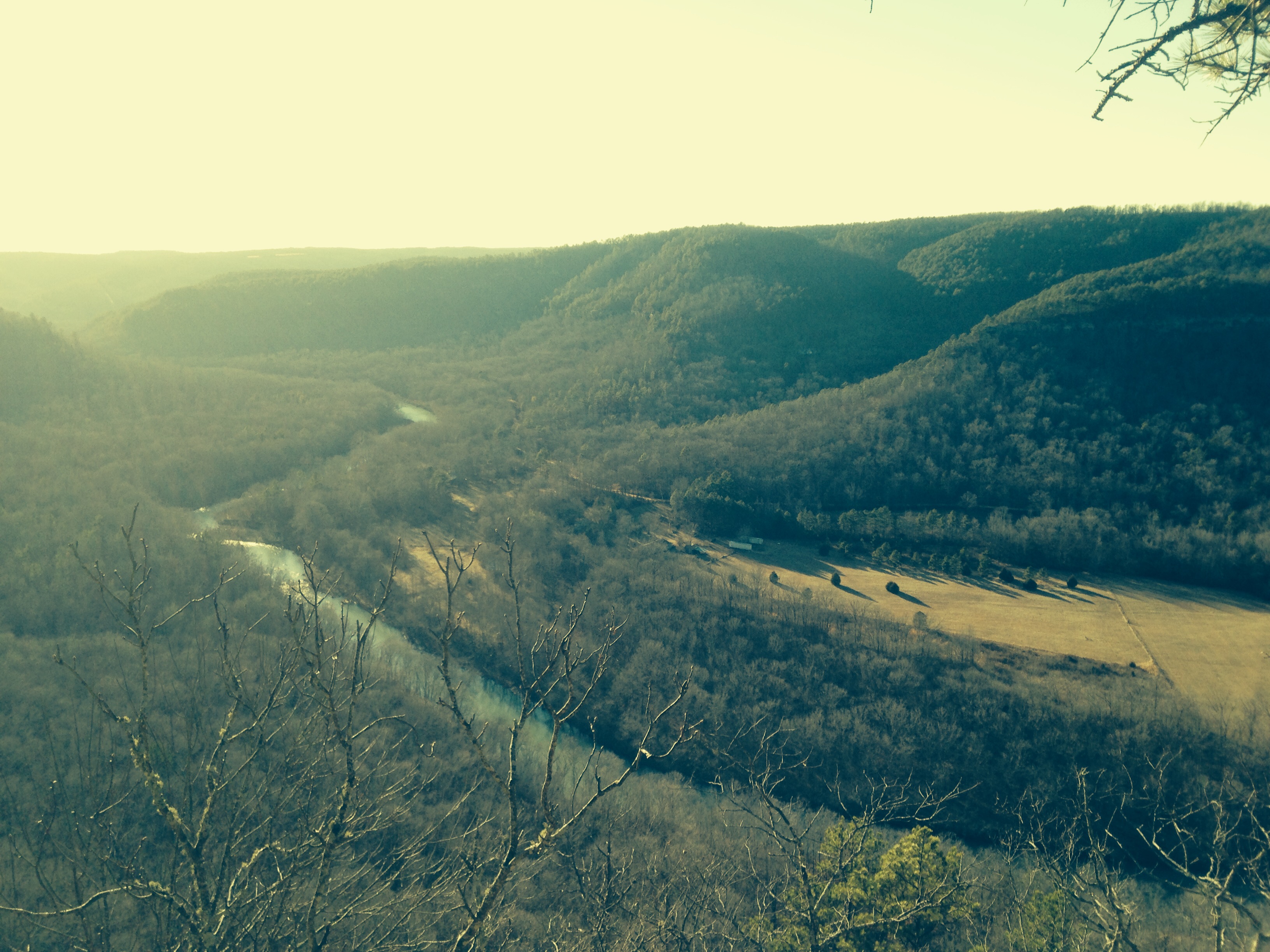
Long distance view upstream

Fall is almost over here
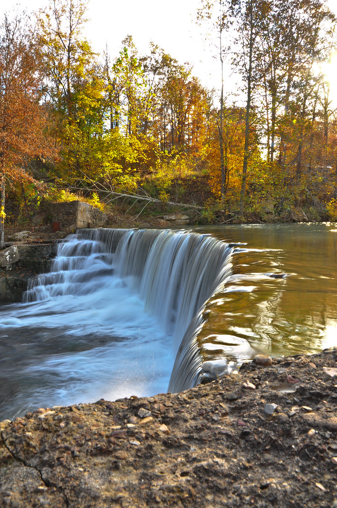
Little Waterfall between Clinton and Leslie

Deck View- Weaver Creek

Leslie's waterfall

Natural Bridge, Clinton, AR
Mount Eagle

Ah, spring!
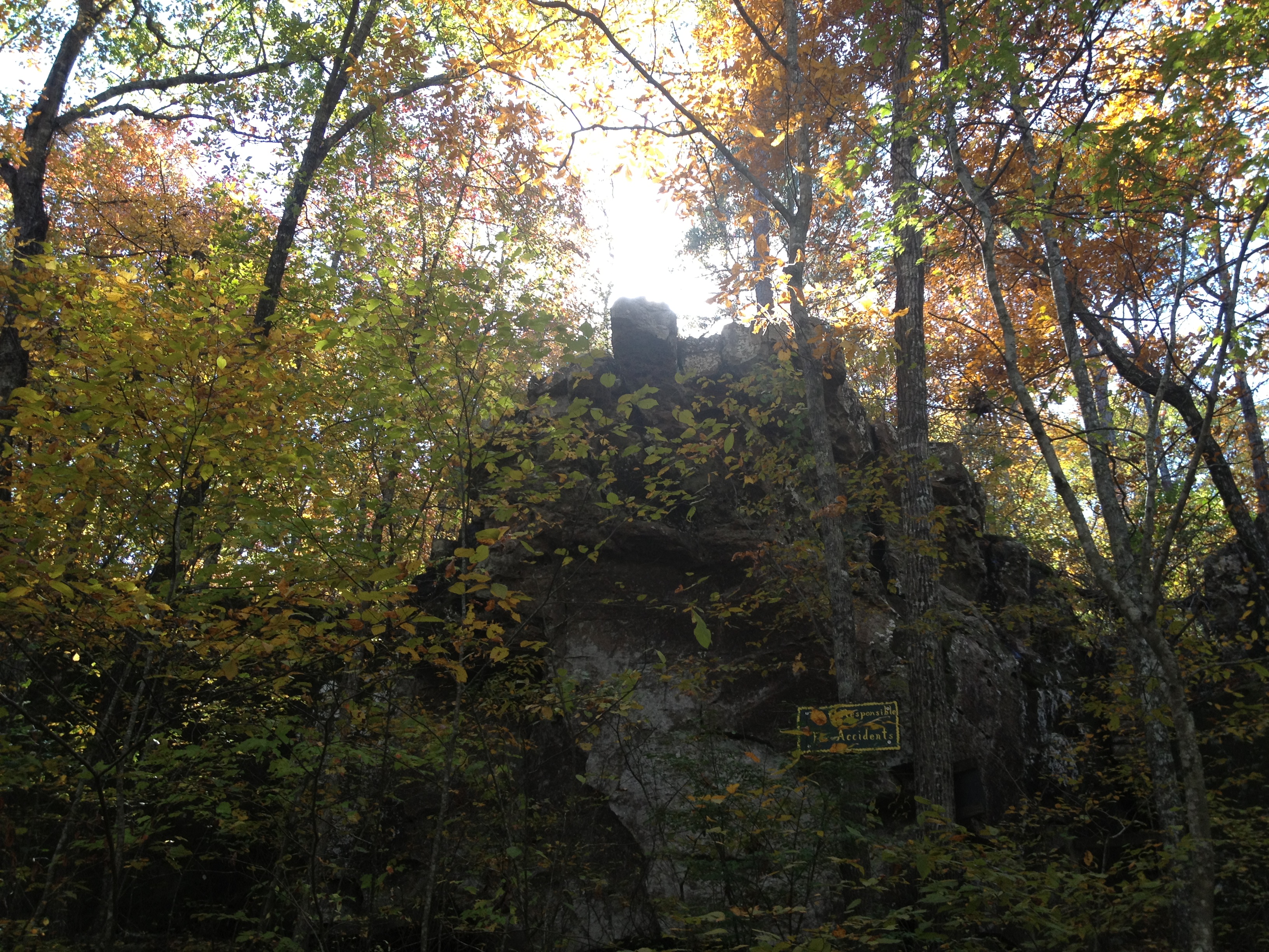
Natural Bridge
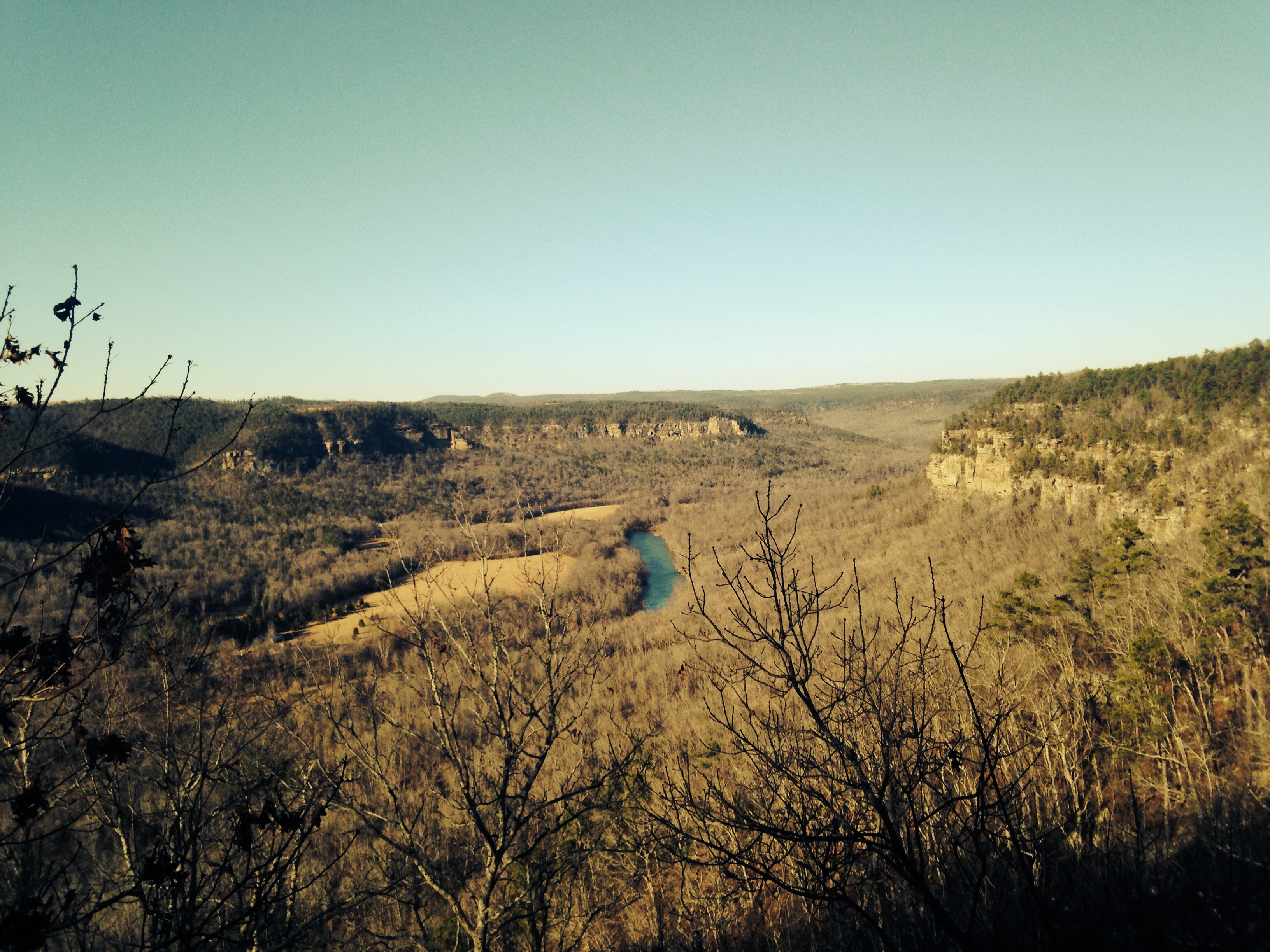
Mount Eagle
Topographic Map of AR-, Clinton, AR, USA
Find elevation by address:

Places near AR-, Clinton, AR, USA:
Linn Creek Township
263 Lily Ln
AR-, Clinton, AR, USA
439 Rockwood Ln
Elba Rd, Dennard, AR, USA
817 Ruby Dr
Angora Mountain Rd, Clinton, AR, USA
8268 Holly Mountain Rd
Randy Woods Flooring Contractor
6534 Holly Mountain Rd
963 Keystone Rd
Red River Township
Little Red River Rustic Cabins
Timothy Road
Flag Township
Flag Rd, Leslie, AR, USA
County Road 150
1236 Blair Rd
Lute Mountain Road
3646 Red River Rd
Recent Searches:
- Elevation of Corso Fratelli Cairoli, 35, Macerata MC, Italy
- Elevation of Tallevast Rd, Sarasota, FL, USA
- Elevation of 4th St E, Sonoma, CA, USA
- Elevation of Black Hollow Rd, Pennsdale, PA, USA
- Elevation of Oakland Ave, Williamsport, PA, USA
- Elevation of Pedrógão Grande, Portugal
- Elevation of Klee Dr, Martinsburg, WV, USA
- Elevation of Via Roma, Pieranica CR, Italy
- Elevation of Tavkvetili Mountain, Georgia
- Elevation of Hartfords Bluff Cir, Mt Pleasant, SC, USA