Elevation of Red River Township, AR, USA
Location: United States > Arkansas > Stone County >
Longitude: -92.371490
Latitude: 35.7501589
Elevation: 271m / 889feet
Barometric Pressure: 98KPa
Elevation Map:
Satellite Map:
Related Photos:
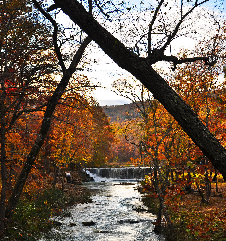
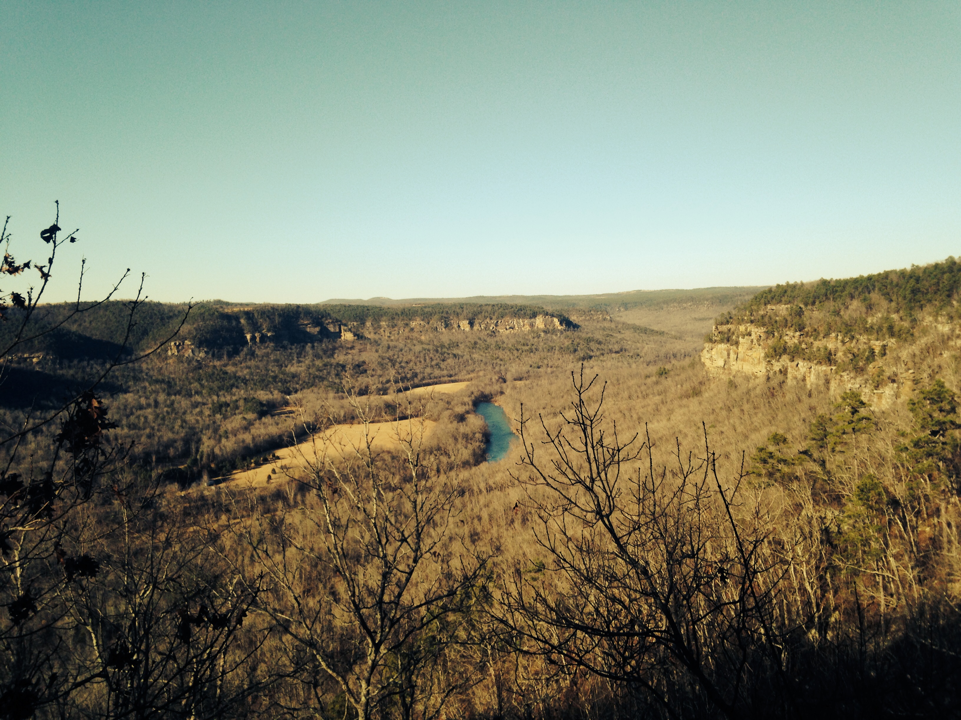
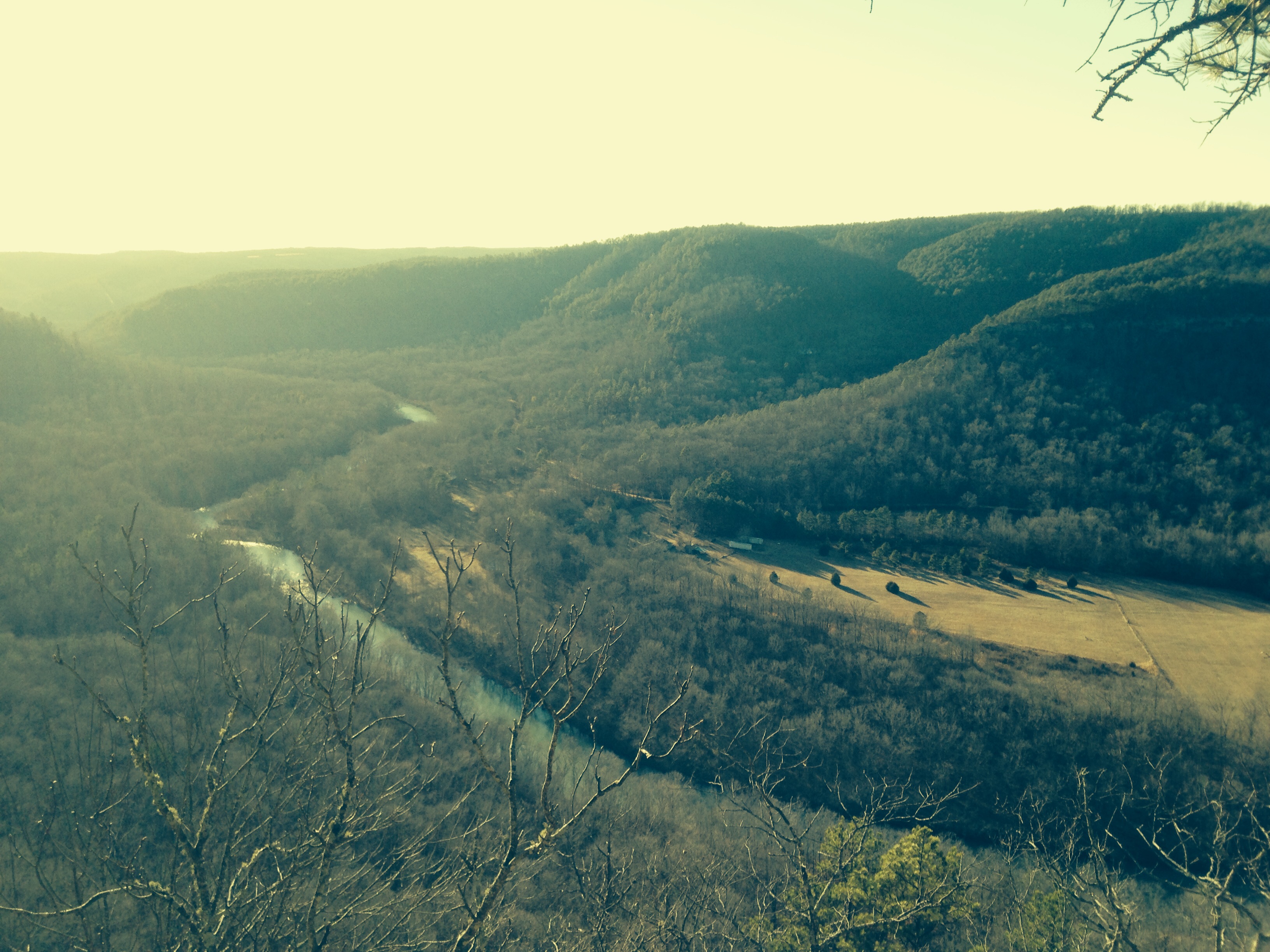
Long distance view upstream
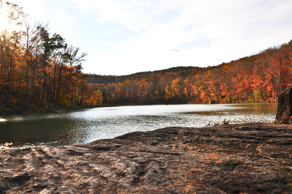
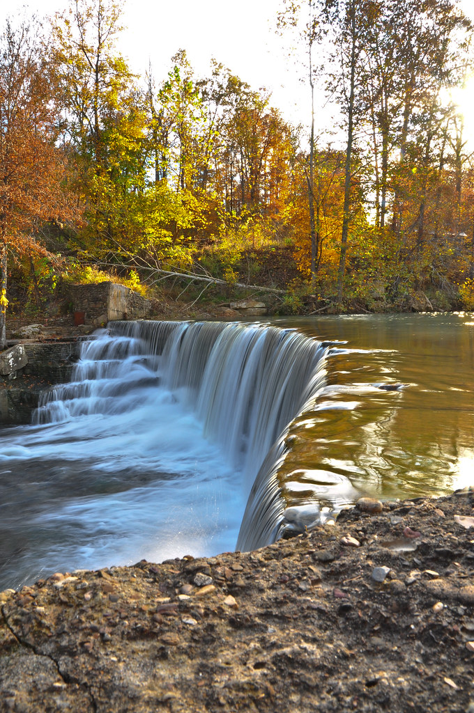
Fall is almost over here
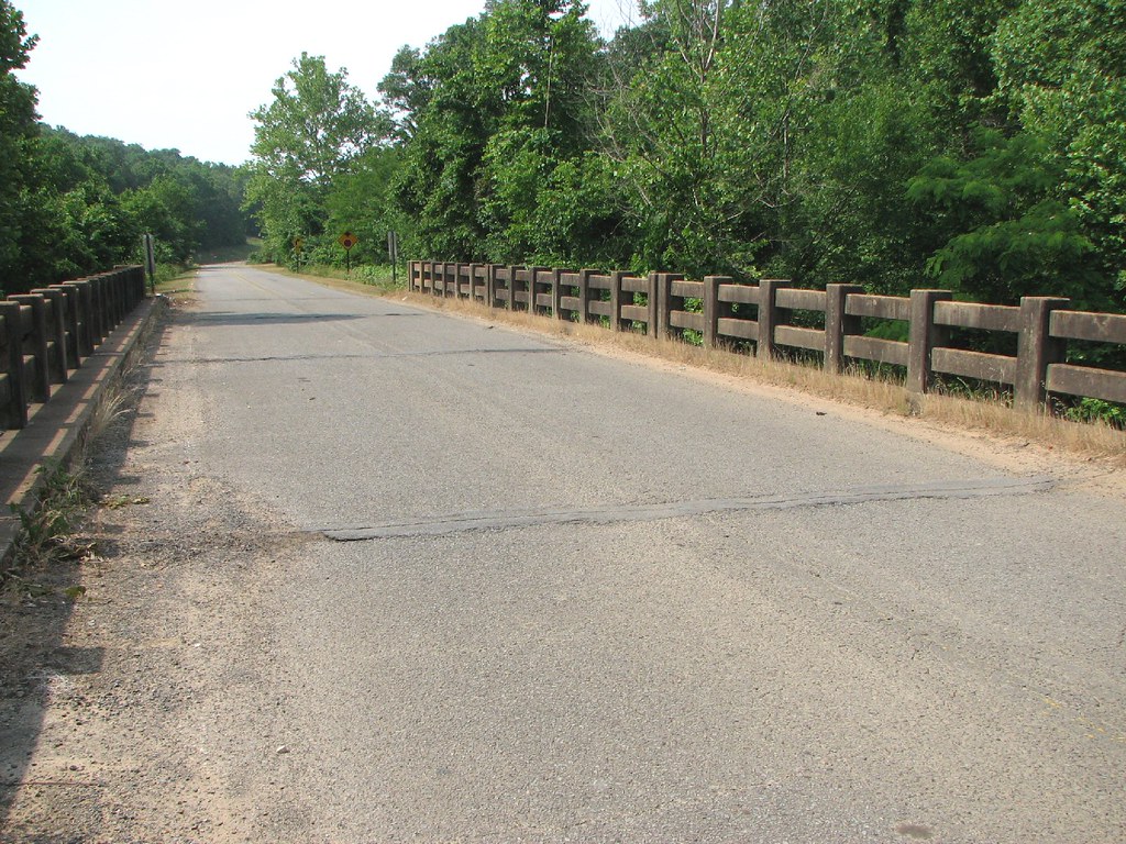
Deck View- Weaver Creek
Arkansas Carp and Scenes-3
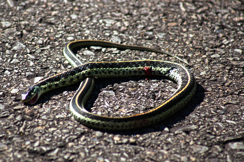
Garter Snake
Little Waterfall between Clinton and Leslie

Ah, spring!
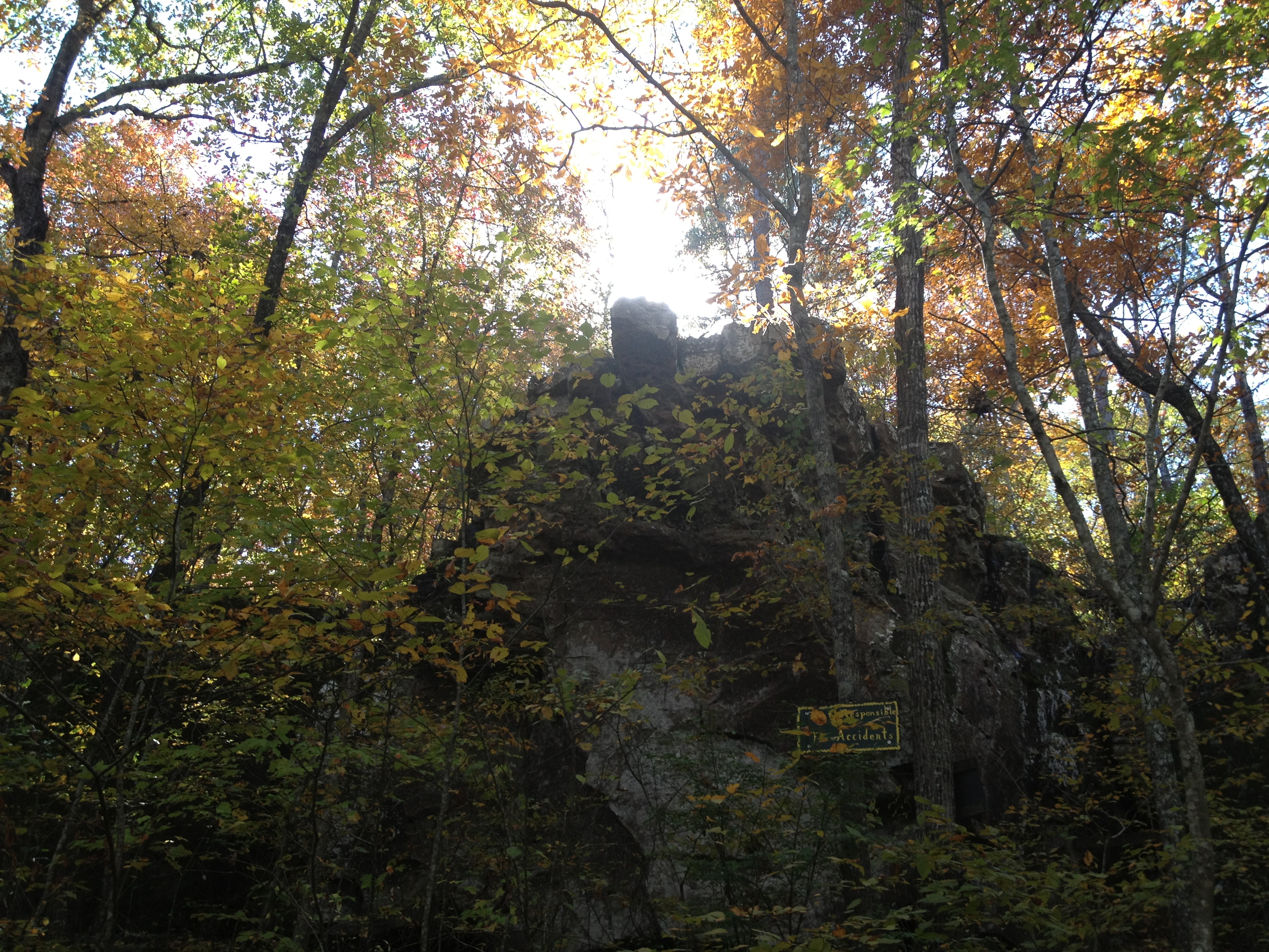
Natural Bridge

Hay Bails

Arkansas Scene
Mount Eagle
Mount Eagle
Topographic Map of Red River Township, AR, USA
Find elevation by address:

Places in Red River Township, AR, USA:
Places near Red River Township, AR, USA:
Little Red River Rustic Cabins
Angora Mountain Rd, Clinton, AR, USA
3646 Red River Rd
McElroy Rd, Fox, AR, USA
Lute Mountain Road
1236 Blair Rd
Hart Ridge Road
439 Rockwood Ln
263 Lily Ln
Union Township
963 Keystone Rd
Flag Township
6982 Ar-110
Linn Creek Township
8268 Holly Mountain Rd
Flag Rd, Leslie, AR, USA
County Road 150
Elba Rd, Dennard, AR, USA
Timothy Road
6534 Holly Mountain Rd
Recent Searches:
- Elevation of Corso Fratelli Cairoli, 35, Macerata MC, Italy
- Elevation of Tallevast Rd, Sarasota, FL, USA
- Elevation of 4th St E, Sonoma, CA, USA
- Elevation of Black Hollow Rd, Pennsdale, PA, USA
- Elevation of Oakland Ave, Williamsport, PA, USA
- Elevation of Pedrógão Grande, Portugal
- Elevation of Klee Dr, Martinsburg, WV, USA
- Elevation of Via Roma, Pieranica CR, Italy
- Elevation of Tavkvetili Mountain, Georgia
- Elevation of Hartfords Bluff Cir, Mt Pleasant, SC, USA