Elevation of Airline Rd, Clifton, ME, USA
Location: United States > Maine > Penobscot County > Clifton >
Longitude: -68.510528
Latitude: 44.8171138
Elevation: 93m / 305feet
Barometric Pressure: 100KPa
Elevation Map:
Satellite Map:
Related Photos:
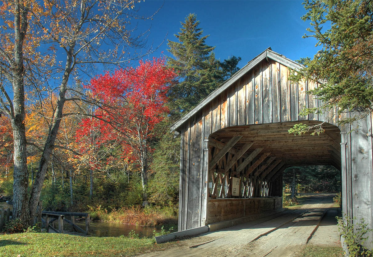
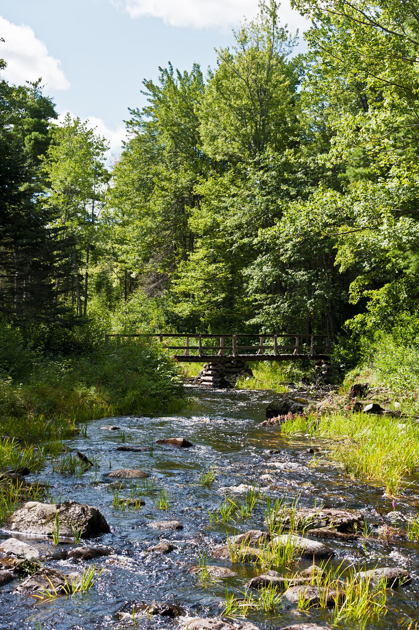
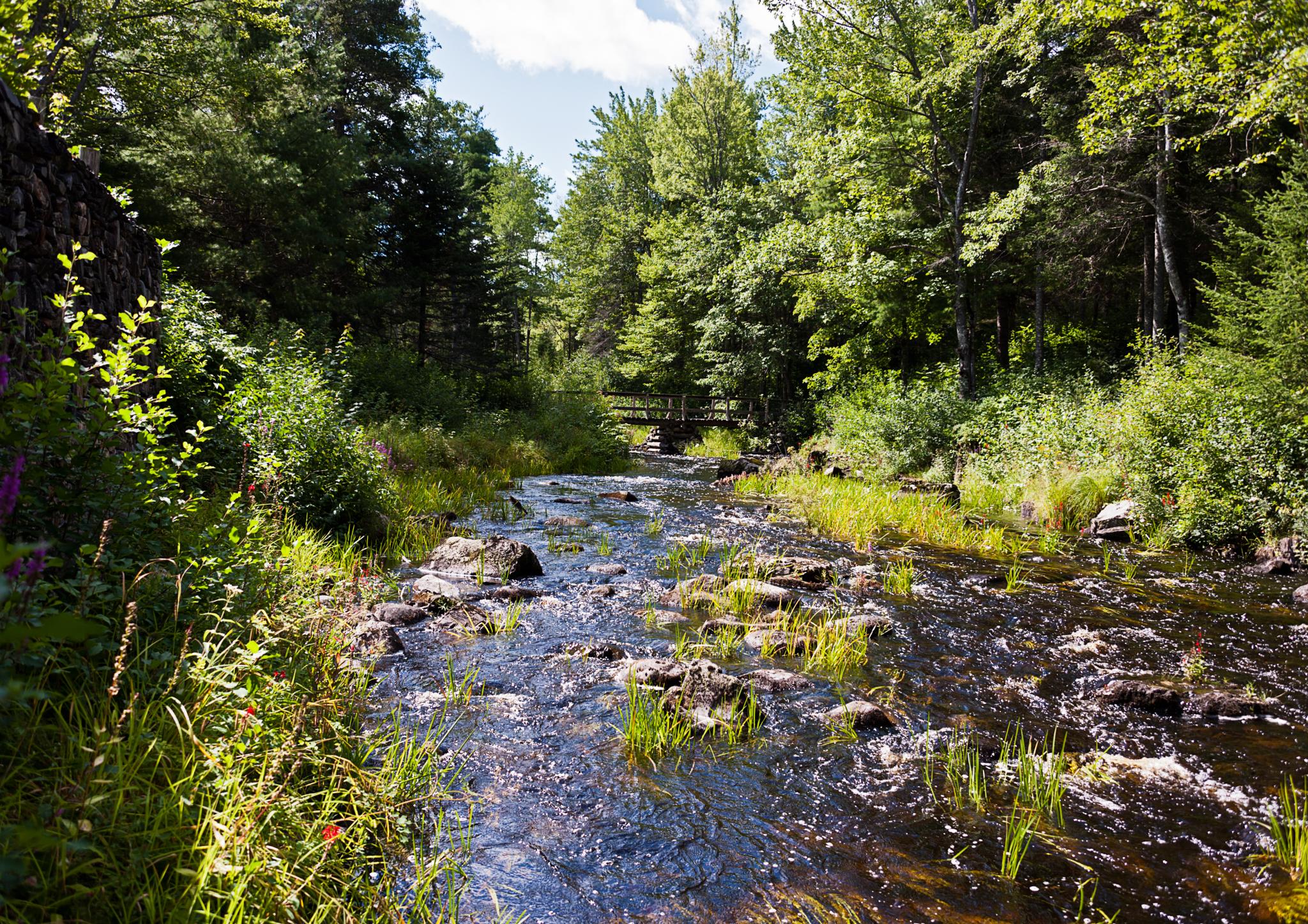
That bridge again
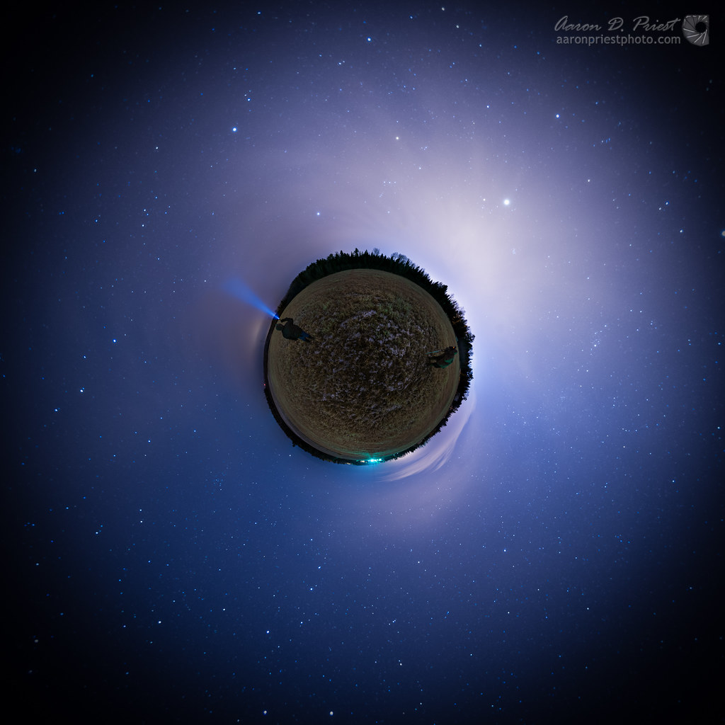
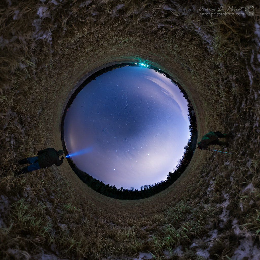
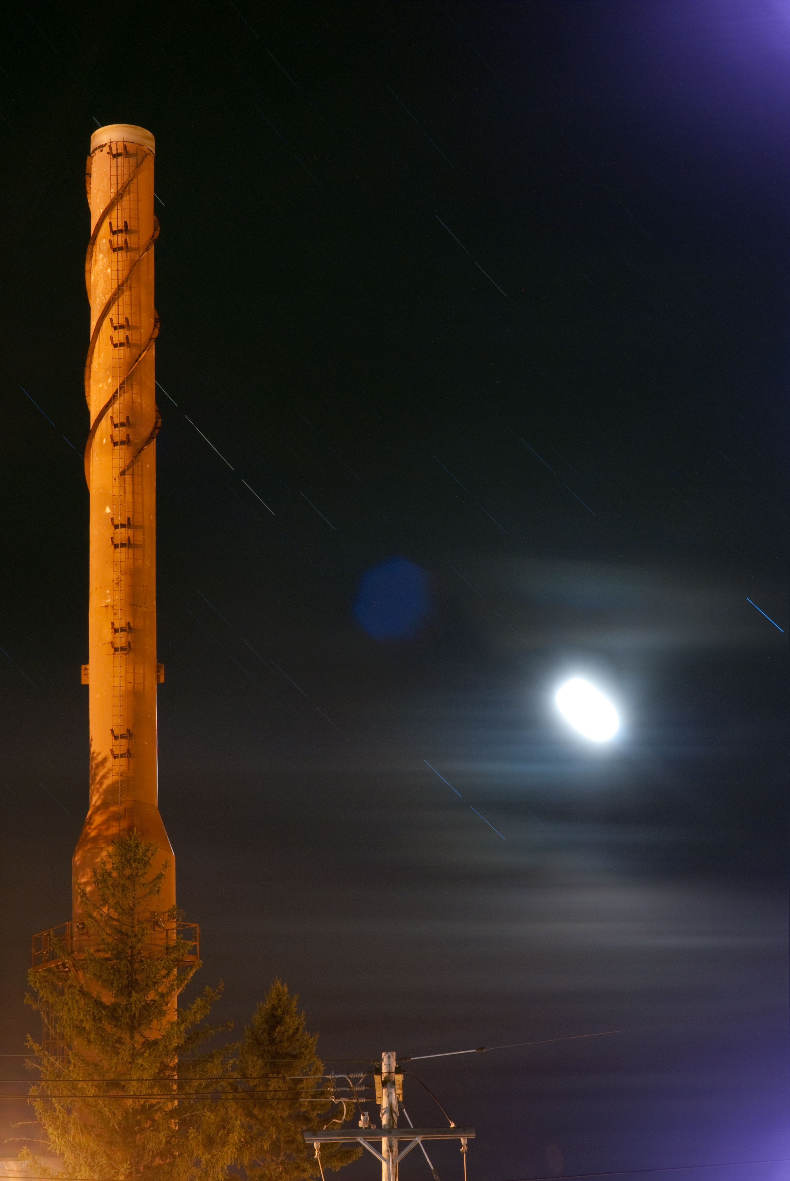
Stargazing - Little Planet
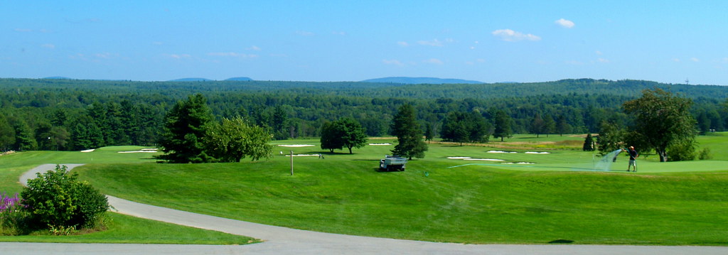
2009 Aug 15 - This is the view from the Penobscot Valley Country Club in Old Town, Maine, where Steve and Emily Wallace's Wedding Reception was held.
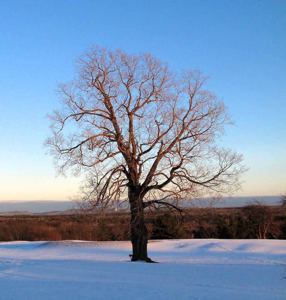
Old Oak Tree
Stargazing - Full Sky
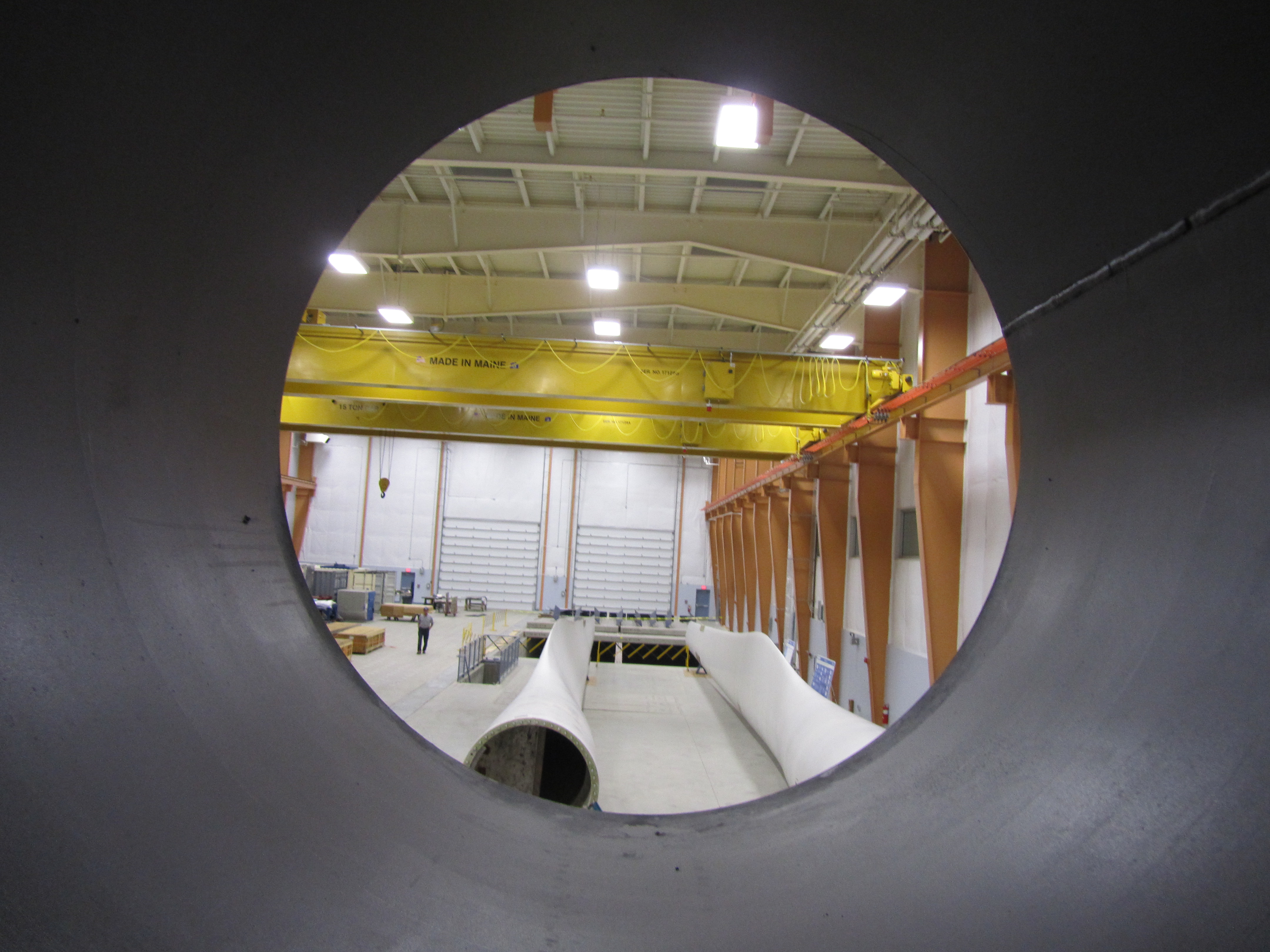
Offshore Wind Laboratory
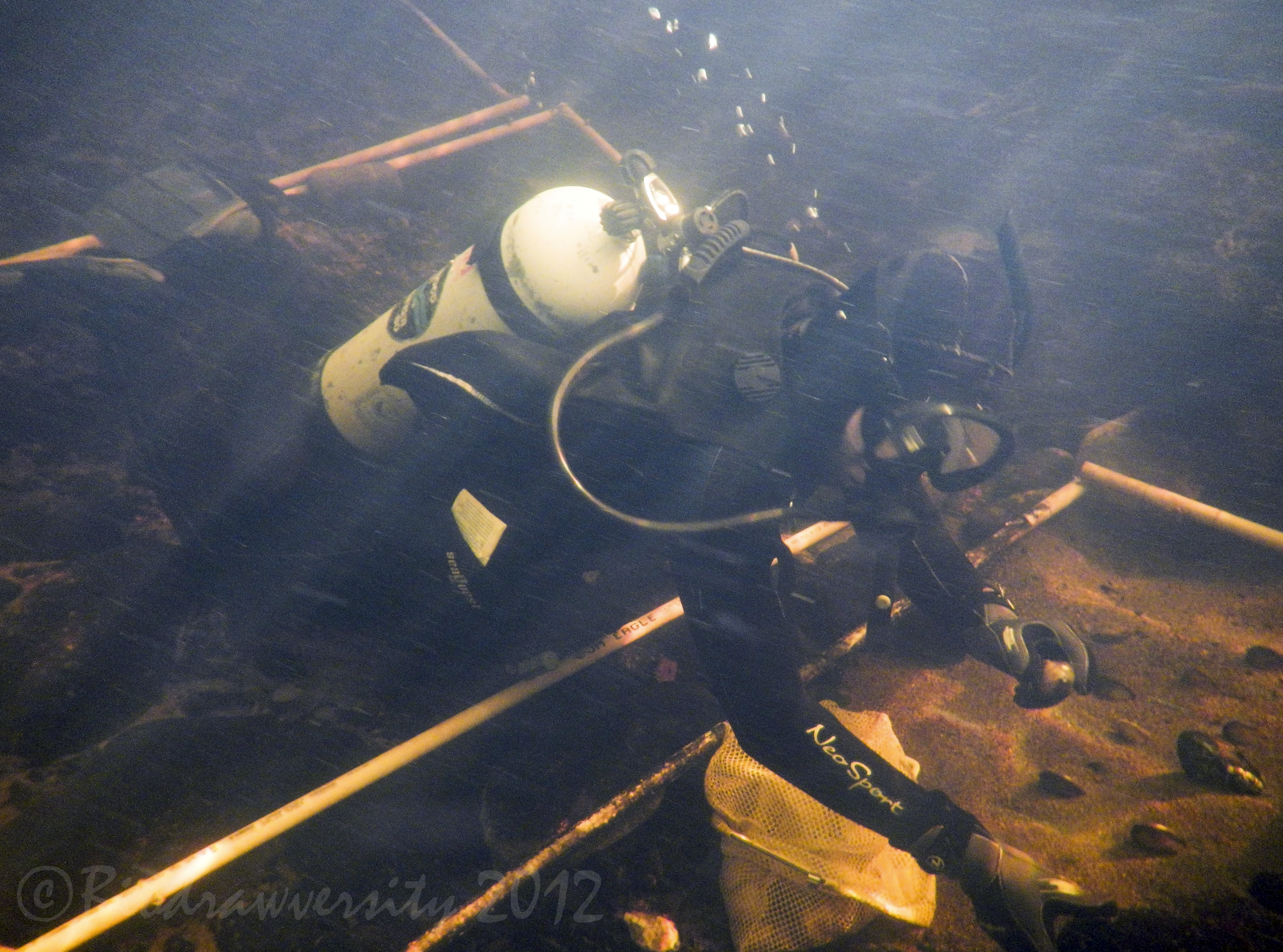
studying mussels

DailyShoot 489: Glowing
Blade view, Offshore Wind Laboratory
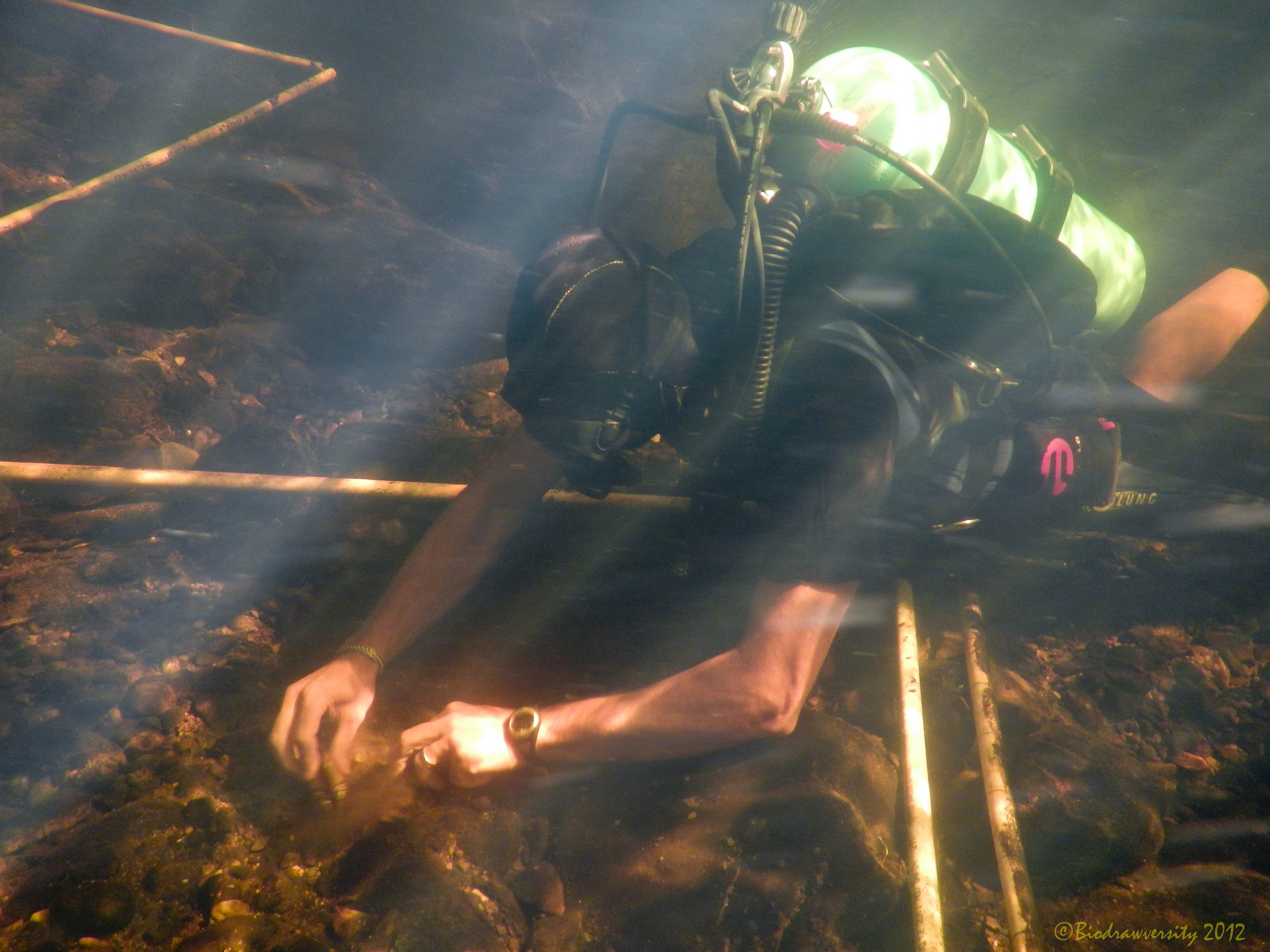
planting mussels

Cool night shot

DailyShoot 583: Water
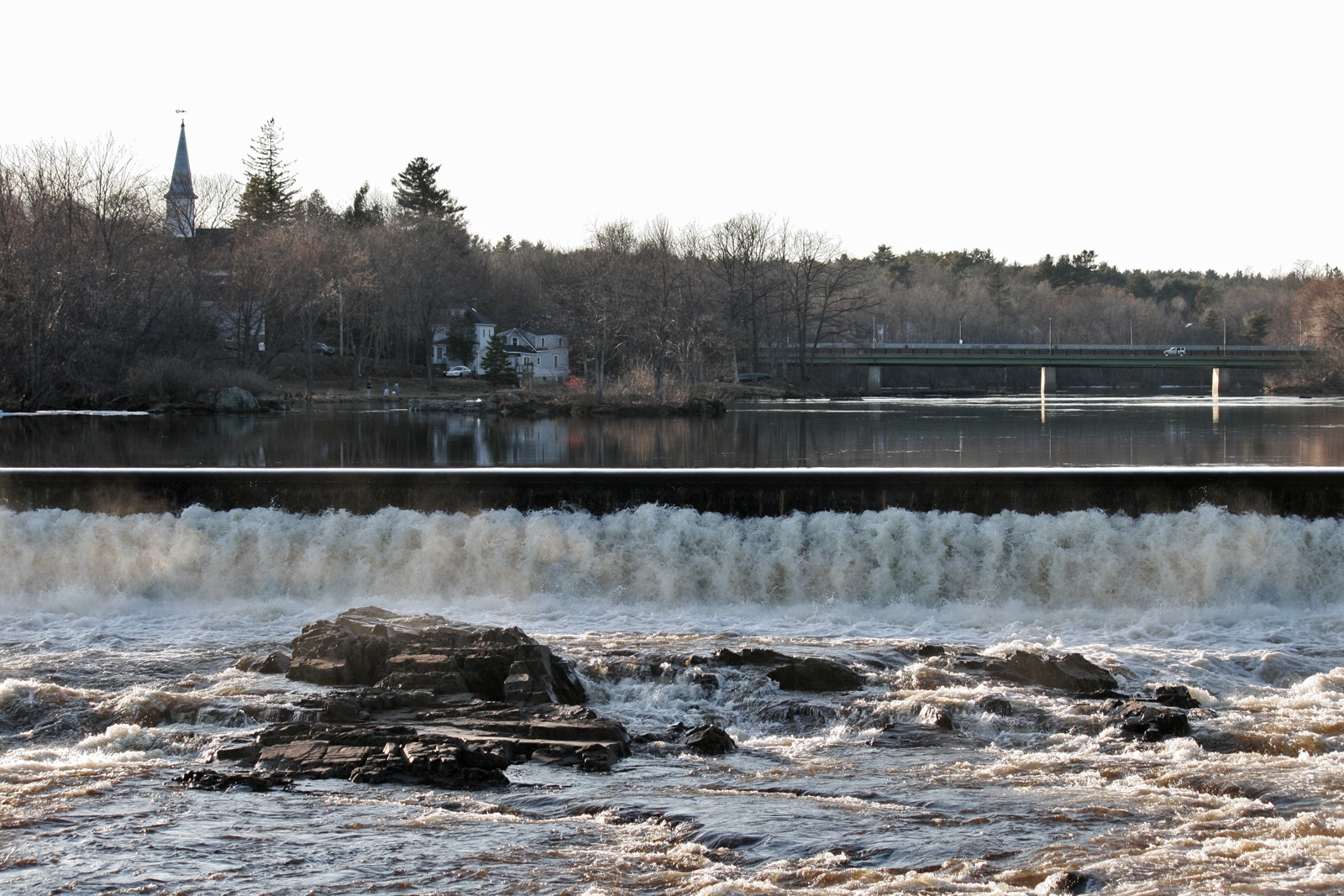
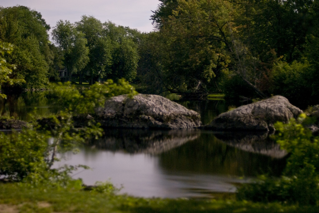
Orono Dam and Main Street Bridge

SV at night

DailyShoot 84: Narrative
January 20, 2011 How low can you go Make a photograph today from a low point of view.
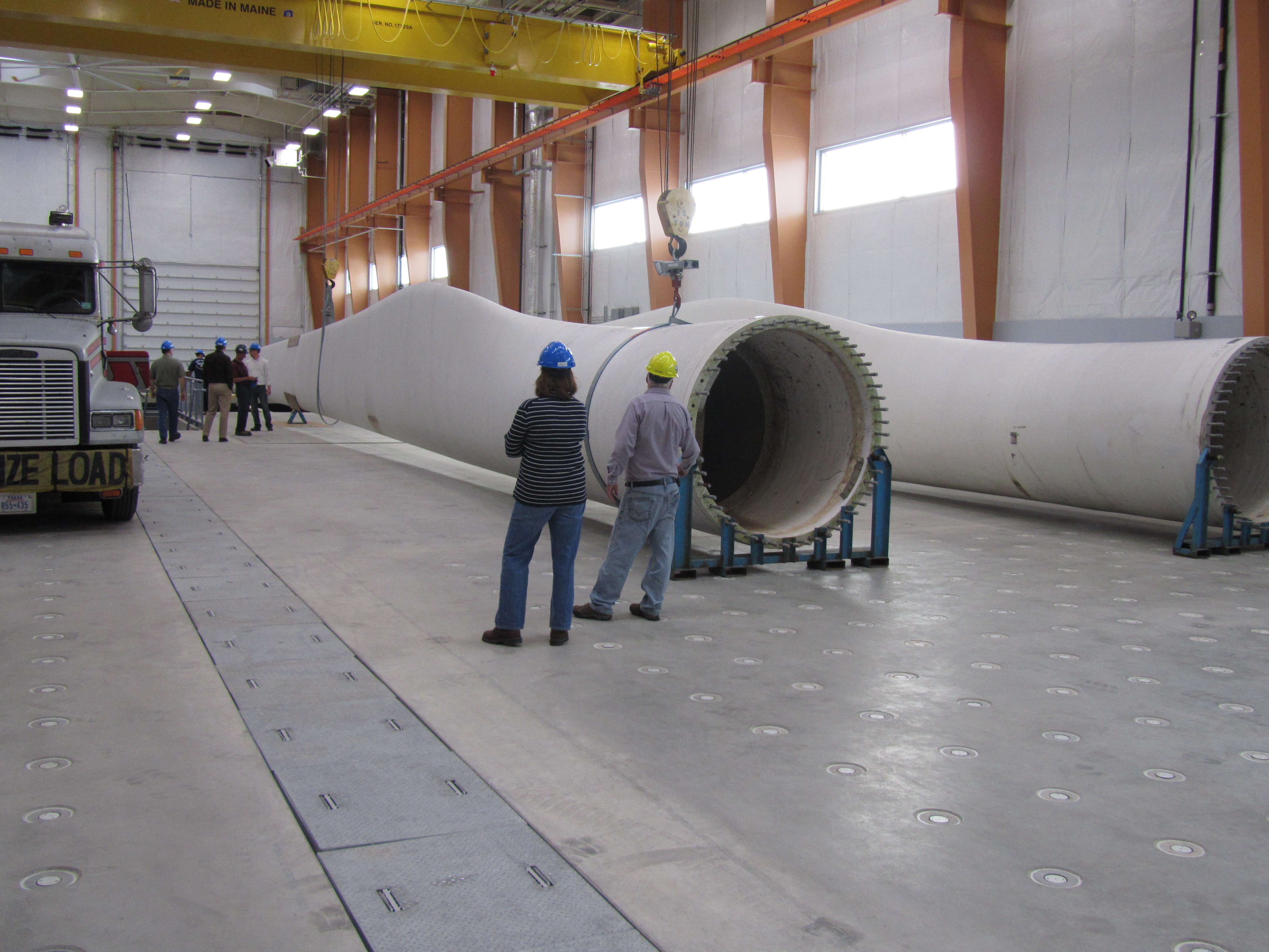
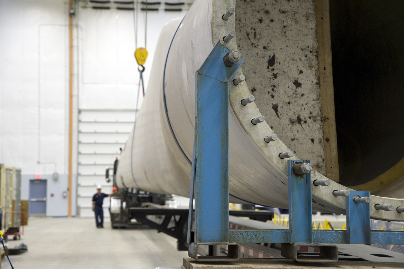
Size comparison, blade view

DailyShoot 144: Minimal Gear

Once, Twice in a Lifetime
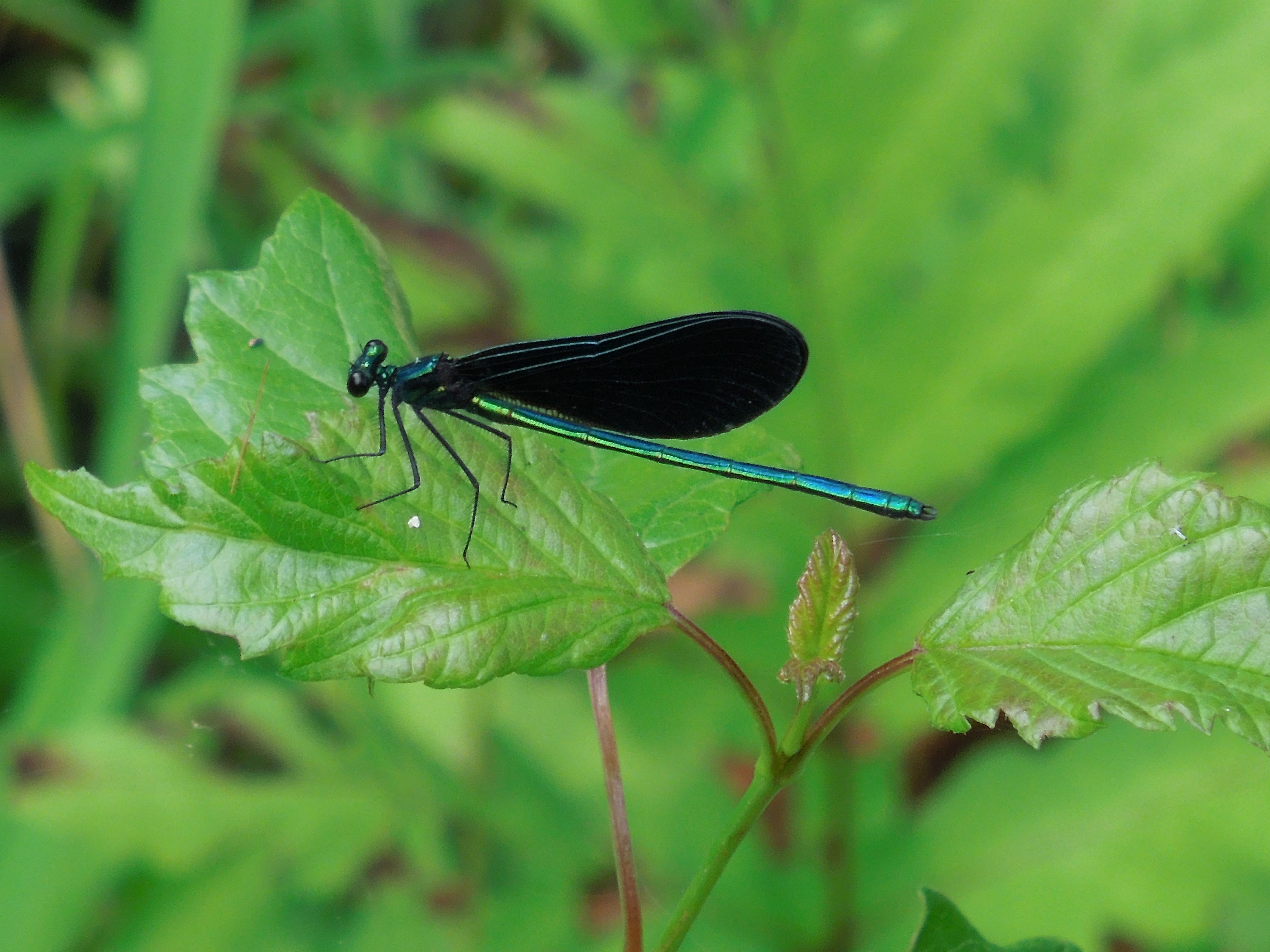
Ebony Jewelwing (Damselfly), Maine
View from our window - Orono
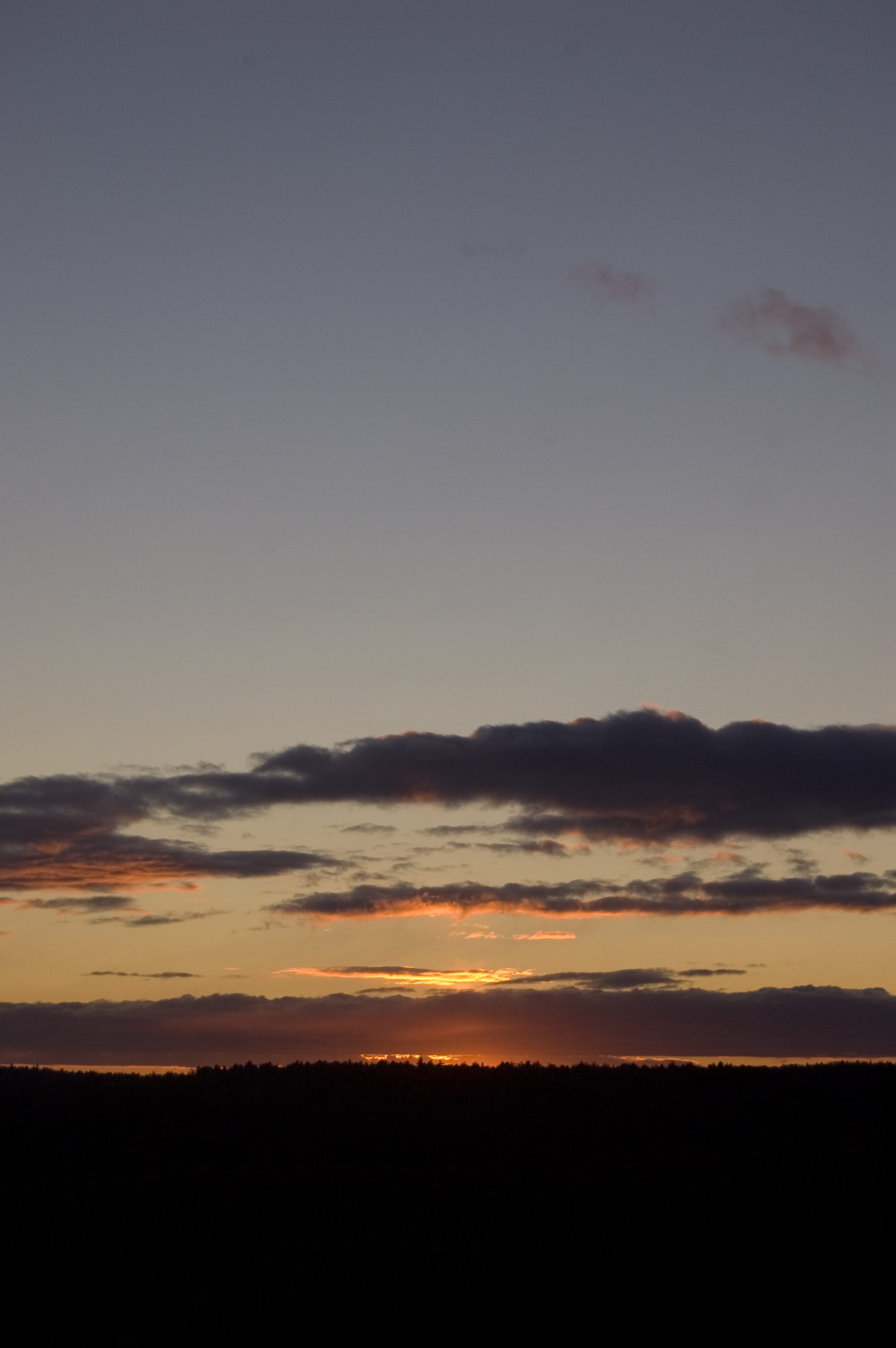
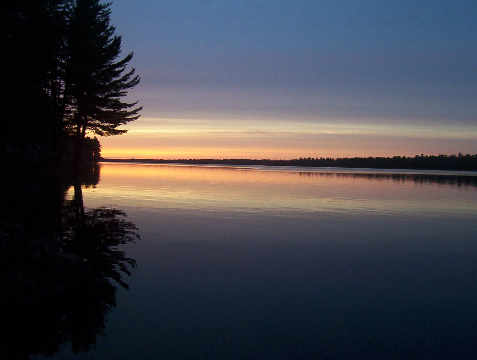
Lucerne Sunset
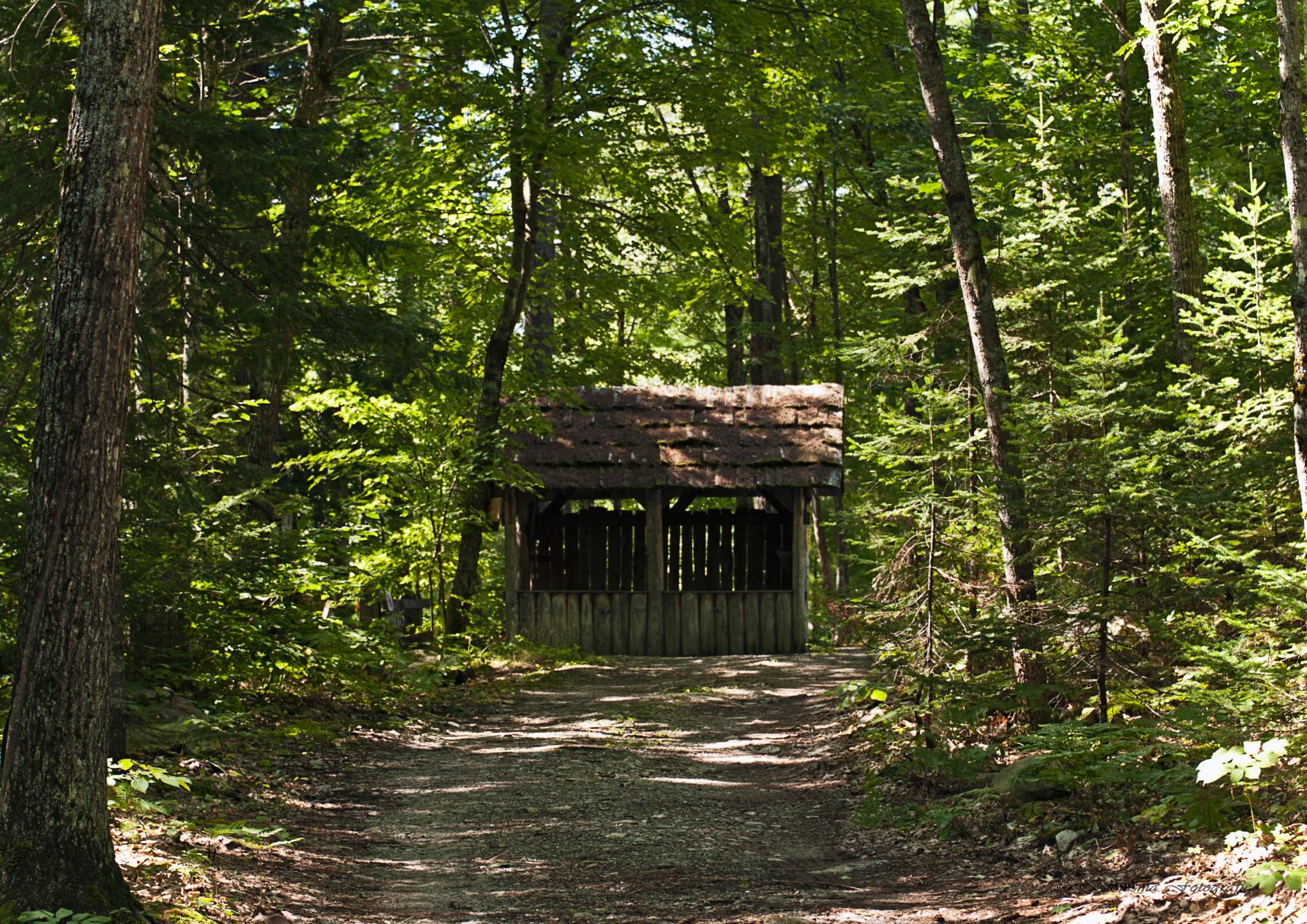
Leonard's Mills
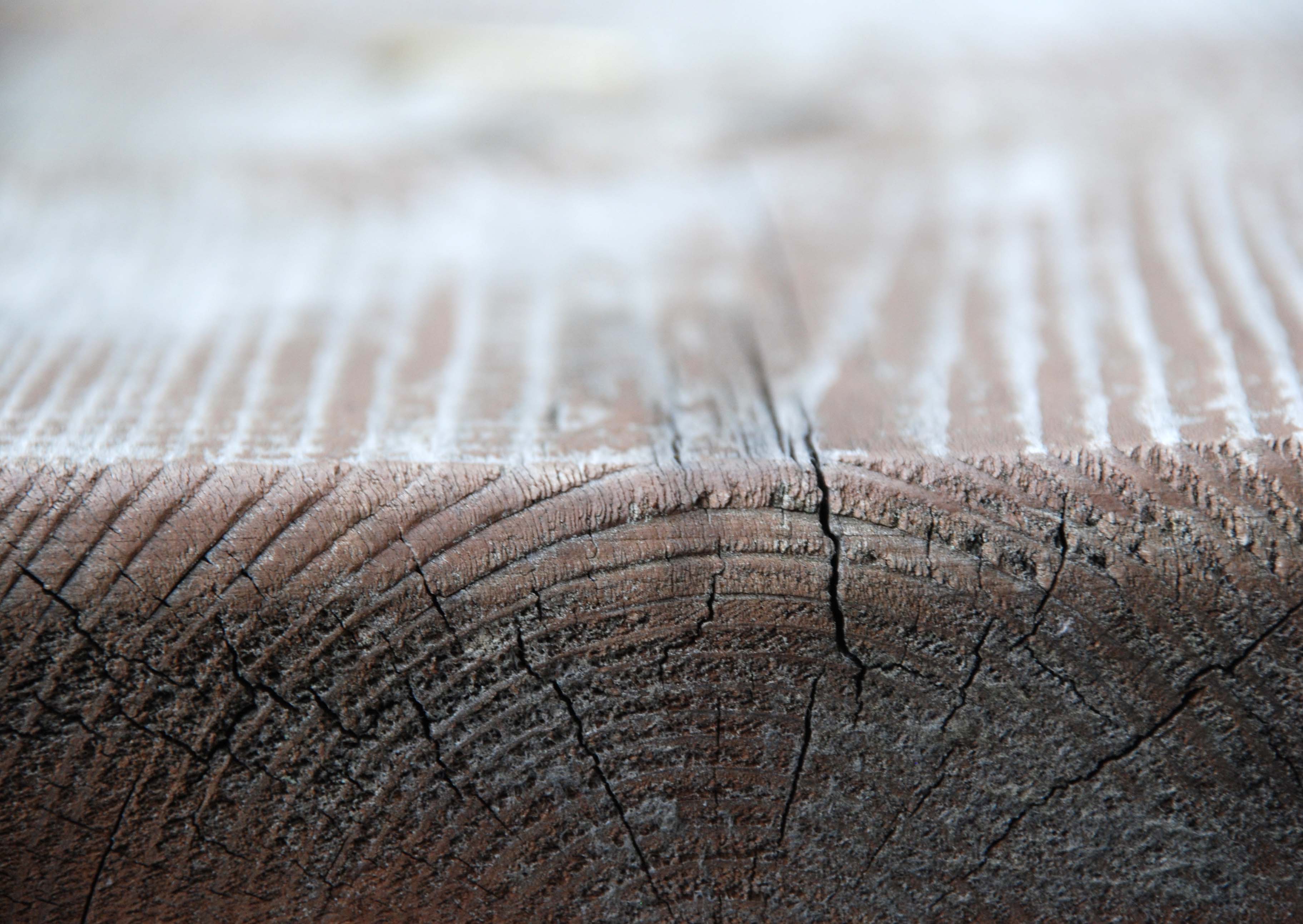
October 6, 2010 The warmth of wood takes on many shapes and forms. Make a photograph of something made of wood today. "tabel"

CLR011.jpg
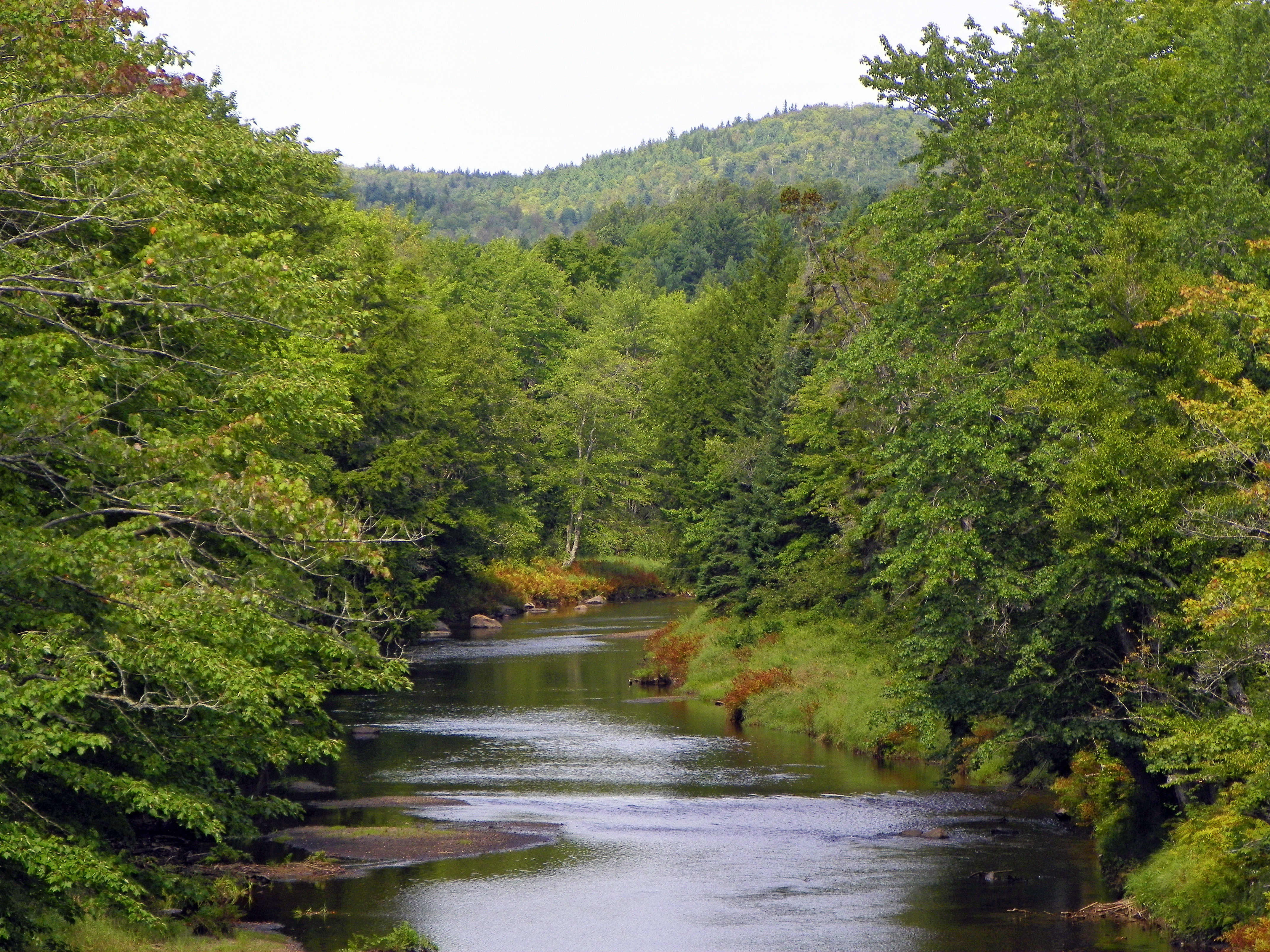
Union River
stillwater at night

Flooded Forest
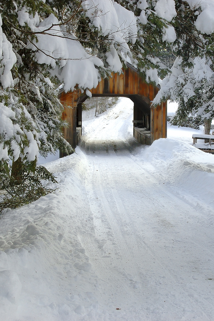
Leonards Mill Covered Bridge

2011 08 23 170028
2011 08 23 170028
2011 08 23 165251

2011 08 23 170117
2011 08 23 170117
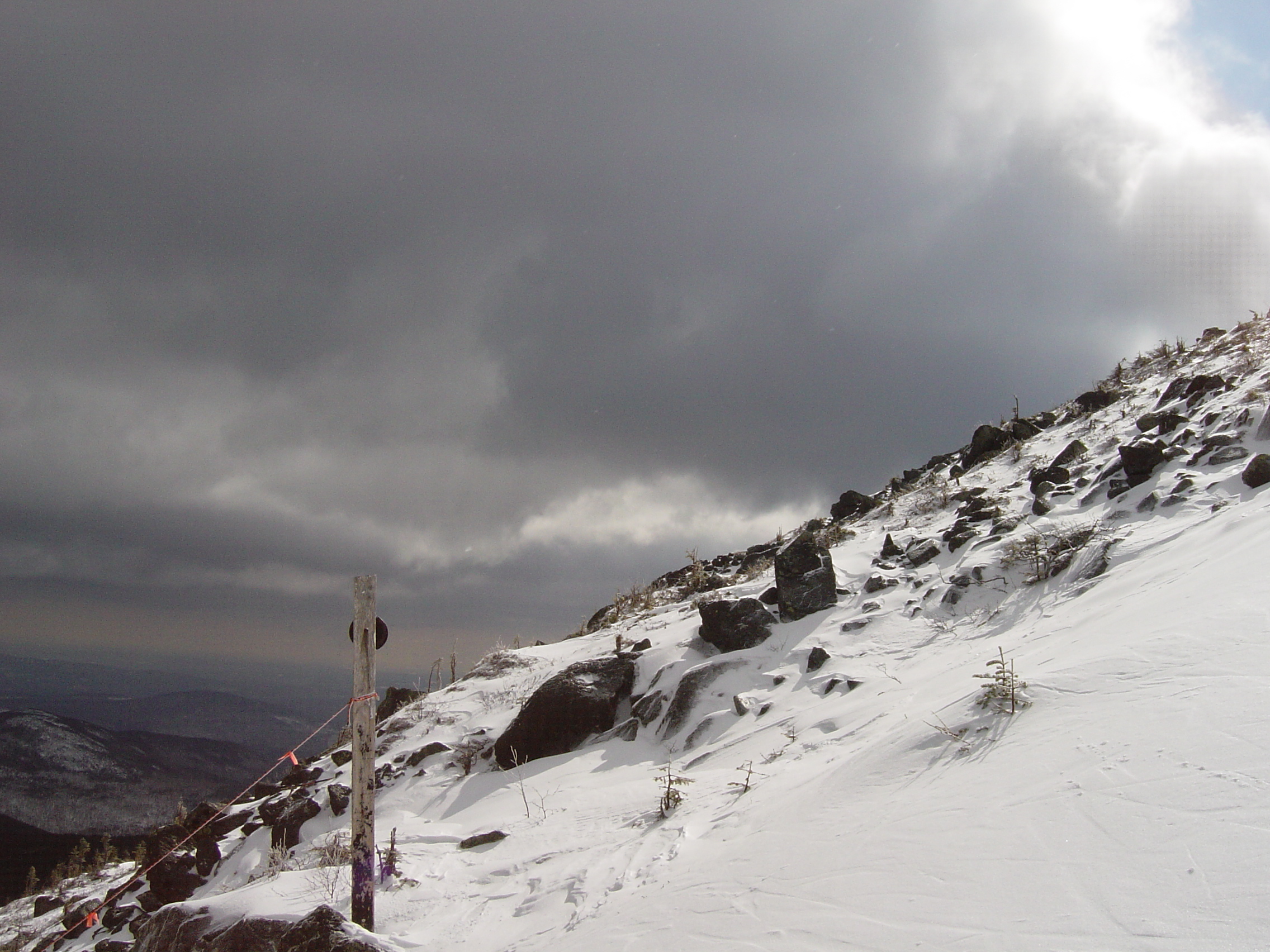
Sugarloaf Maine
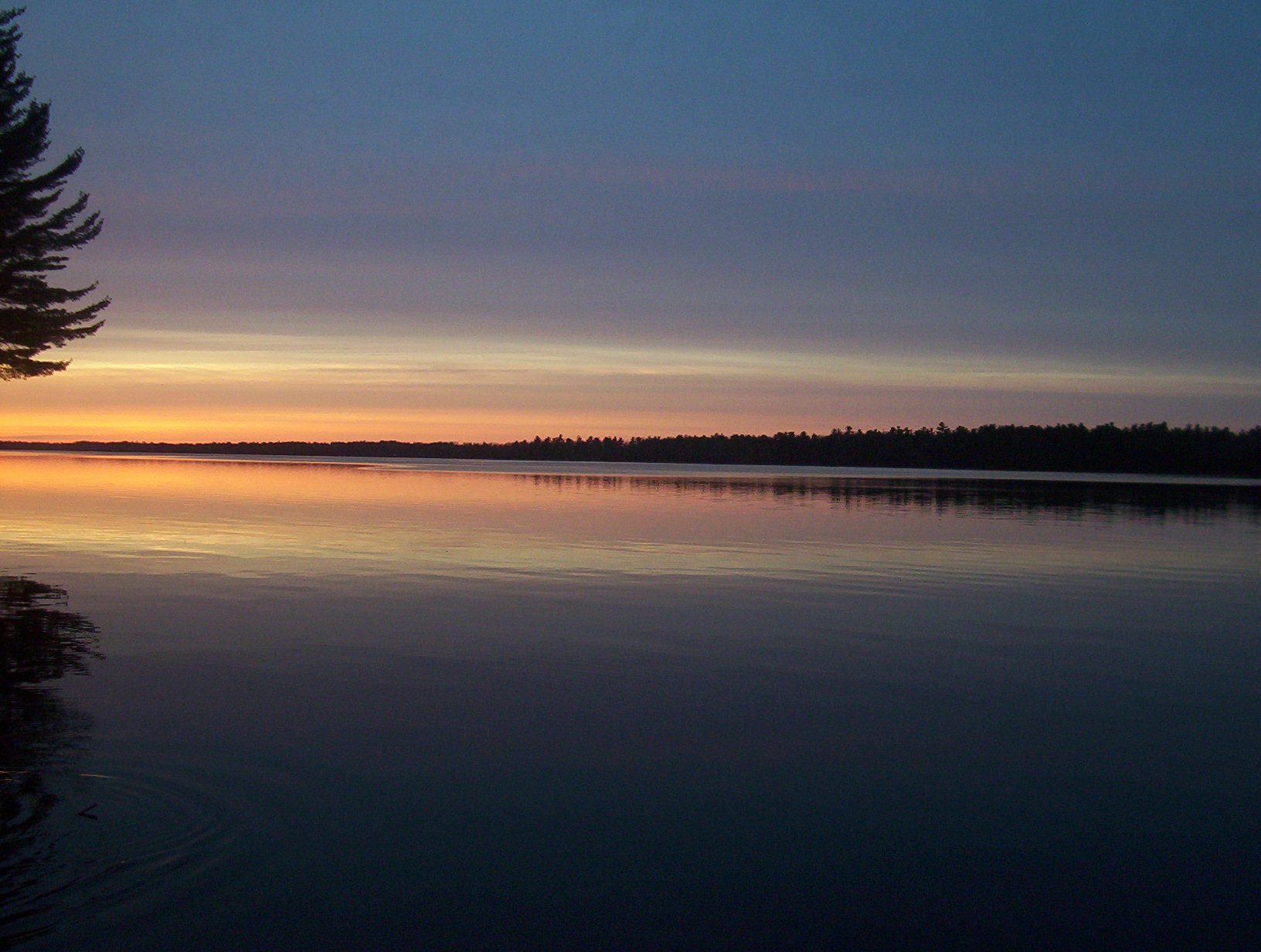
Sunset over Chemo Pond
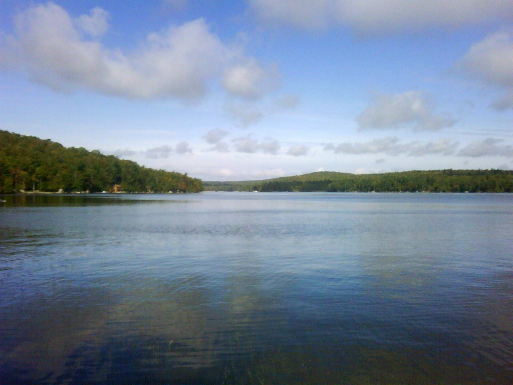
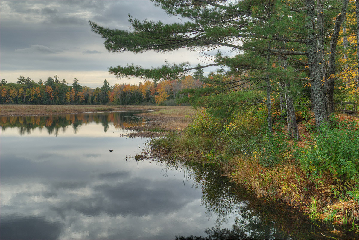
Beech Hill Pond
Sunset over Chemo Pond
DailyShoot 154: Night
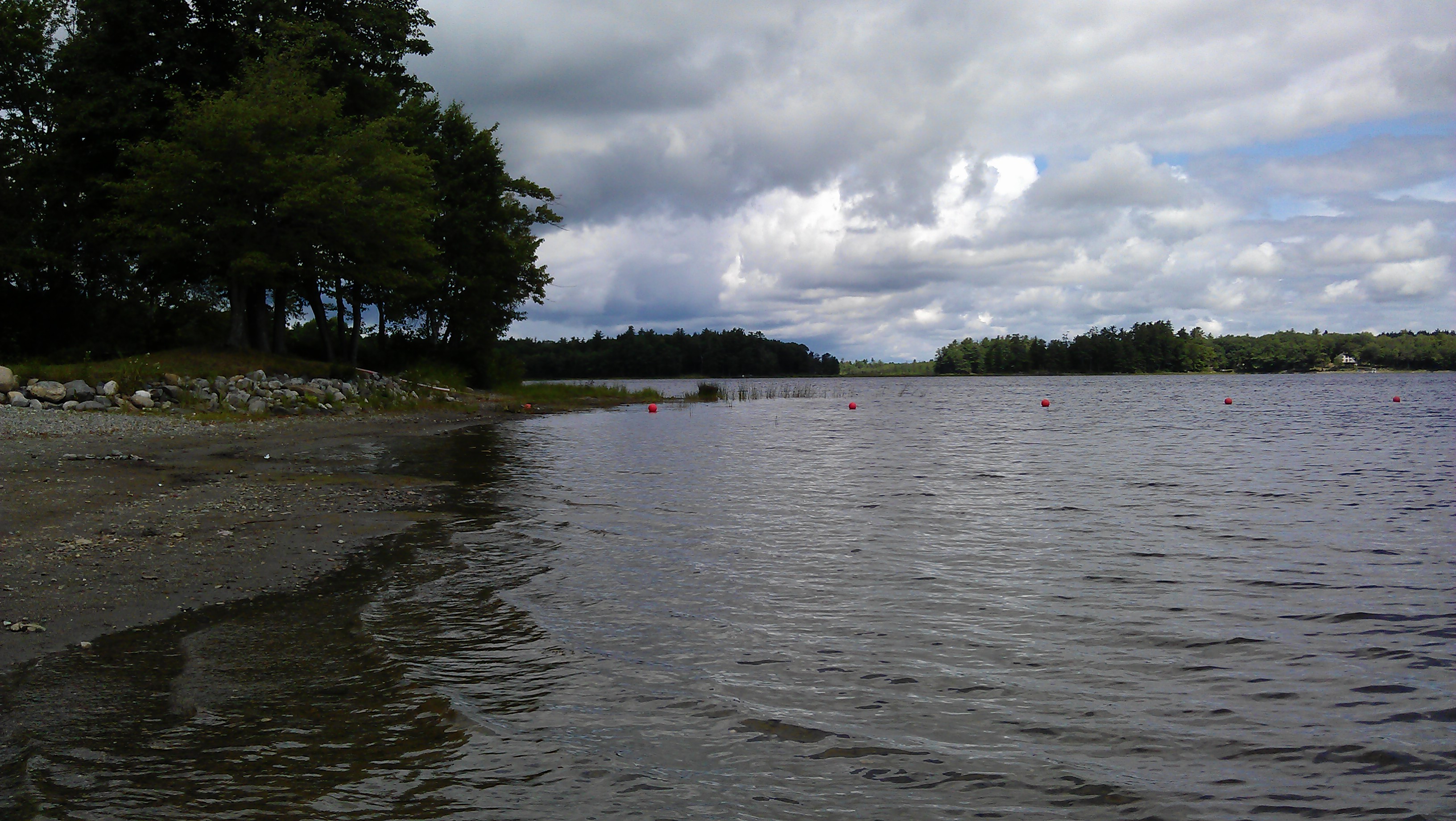
Cheemo Pond at Dean's Landing
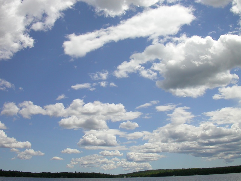
Clouds Over Beech Hill Pond
May 23,2010 Sunday challenge time Make a landscape photo (natural or urban). Create something that you'd want to put on your wall.
Topographic Map of Airline Rd, Clifton, ME, USA
Find elevation by address:

Places near Airline Rd, Clifton, ME, USA:
Clifton
Black Cap Mountain
Otis
River Road
Mariaville
3840 Mariaville Rd
11 Whispering Pines Dr
Amherst
160 Hurd Point Rd
160 Hurd Point Rd
24 Smith Rd
76 River Village Dr
32 Mill St
36 Oak St
Orono
Orono
167 Schoolhouse Rd
University Of Maine
178 Main St
Old Town
Recent Searches:
- Elevation of Corso Fratelli Cairoli, 35, Macerata MC, Italy
- Elevation of Tallevast Rd, Sarasota, FL, USA
- Elevation of 4th St E, Sonoma, CA, USA
- Elevation of Black Hollow Rd, Pennsdale, PA, USA
- Elevation of Oakland Ave, Williamsport, PA, USA
- Elevation of Pedrógão Grande, Portugal
- Elevation of Klee Dr, Martinsburg, WV, USA
- Elevation of Via Roma, Pieranica CR, Italy
- Elevation of Tavkvetili Mountain, Georgia
- Elevation of Hartfords Bluff Cir, Mt Pleasant, SC, USA