Elevation of 76 River Village Dr, Milford, ME, USA
Location: United States > Maine > Penobscot County >

Longitude: -68.634813

Latitude: 44.9316696

Elevation: 35m / 115feet

Barometric Pressure: 101KPa

Elevation Map:

elevation map of 76 River Village Dr, Milford, ME, USA
Satellite Map:

Satellite map of 76 River Village Dr, Milford, ME, USA
Related Photos:

usa me insect maine damselfly calopteryx ebonyjewelwing calopteryxmaculata penobscotcounty taxonomy:binomial=calopteryxmaculata taxonomy:common=ebonyjewelwing
Ebony Jewelwing (Damselfly), Maine
pink red food tree green grass bug insect shiny bokeh head eating ant watermellon thorax abdomen ds144
DailyShoot 144: Minimal Gear
perchpond sewallpark aerial fallfoliage autumncolors djimavicproplatinum
A Long Way Out
fall maine bradley hdr 3xp leonardsmills
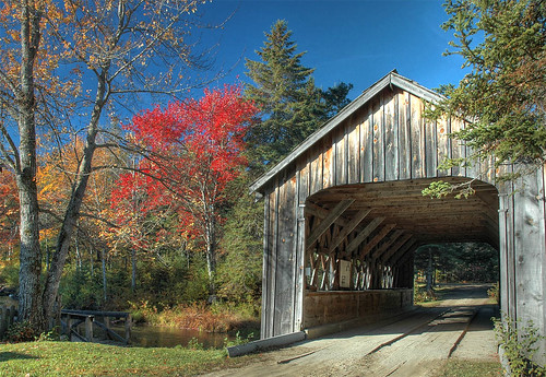
That bridge again
may gmt palmwarbler dendroicapalmarum oronomaine oronolandtrust
Palm Warbler, Side View
sky panorama field night stars unitedstates maine astrophotography orion brewer spherical littleplanet
Stargazing - Little Planet
sunset panorama purple bangor penobscotriver bangorwaterworks
2012-09-16-101349
railroad sky mill maine rail boxcar oldtown d80
maine industry
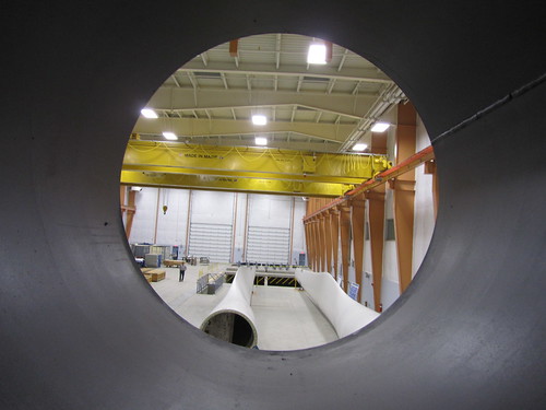
universityofmaine windblade bladetesting deepcwind offshorewindlaboratory advancedstructuresandcompositescenter deepcwindlab
Offshore Wind Laboratory
universityofmaine windblade bladetesting deepcwind offshorewindlaboratory advancedstructuresandcompositescenter deepcwindlab
Blade view, Offshore Wind Laboratory
universityofmaine windblade bladetesting deepcwind offshorewindlaboratory advancedstructuresandcompositescenter deepcwindlab
Size comparison, blade view
blue red white black macro reflection green water grid rainbow spectrum magenta h2o refraction pixels chromatic triad aberration ds583
DailyShoot 583: Water
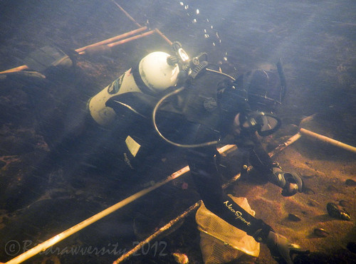
river underwater maine diving science diver mussels fieldwork scubadiver penobscotriver biodrawversity corbinbrody yellowlampmussels
studying mussels
ecology river underwater maine scuba diving science scubadiving diver mussels penobscot penobscotriver biodrawversity
planting mussels
2002 naked curvy motorbike motorcycle sportbike suzuki sv650 diylighting stickinacan diypfav
SV at night
fall maine hdr 3xp
Too Much?
sky panorama field night stars unitedstates maine astrophotography orion brewer spherical
Stargazing - Full Sky
blue green angel trash necklace sock purple laundry demon washingmachine pendant orage umaine detergent colvin
DailyShoot 84: Narrative
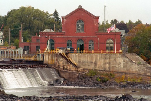
vacation industry river dam maine powerplant hydroelectric nikonf5 colorneg vuescan nikoncoolscan5000ed kodakektar100 nikkor75300mmf4556afzoom
Milford Hydroelectric Station
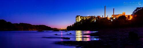
blue sunset panorama reflection rocks bangor maine penobscotriver easternmainemedicalcenter
2012-09-16-101392
light bw lamp lightbulb bulb neck hand fingers fluorescent compact cfl ridges ds246
DailyShoot 347: Reach
reflection fall interestingness frost interestingness1 maine explore getty oldtown hdr 3xp abigfave
Frosty Morning
universityofmaineorono stillwaterriver penobscotriver latesummer clouds reflection water nature landscape aerial djiphantom4 alfondarena gymnasium bigm goblue
UMaine Panorama
april boreal foxsparrow passerellailiaca glenburnmaine
Fox Sparrow
First Snowfall
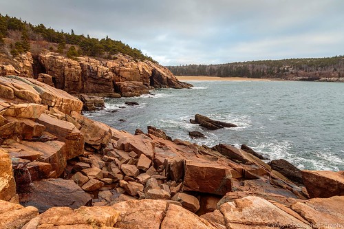
autumn fall me canon coast morninglight nationalpark sand rocks maine newengland rocky stormy boulders trail granite acadia mountdesertisland mdi 6d sandbeach acadianationalpark gulfofmaine 24105mm eflens 24105mml ef24105mm oceanpath
Sand Beach from the Ocean Path
aerial djiphantom4 drone quadcopter sunset panorama pano oronomaine nature landscape sun orange magenta pink curve cloud cumulus red yellow saturation blue sky
Majestic Sunset
october migration whitethroatedsparrow zonotrichiaalbicollis 2013 avianexcellence glenburnmaine
White-throated Sparrow
maine penobscotcounty milford us2 nationalregister nationalregisterofhistoricplaces river penobscot
Bodwell Water Power Company Plant- Milford ME (3)
hirundowildliferefuge altonmaine pushawstream pushawlake pushawpond maine rural scenic landscape aerial hardwoodislands polarizer meandering river water fallfoliage ruralmaine autumn colors peatbog wetlands
Hirundo Panorama
perchpond oldtownmaine fallcolors autumnfoliage aerial djimavicpro part107 sewallpark peatbog landscape scenic nature reflection lake
Autumn Afternoon
maine penobscotcounty bangor us2 cemetery nationalregister nationalregisterofhistoricplaces mounthope
Mount Hope Cemetery- Bangor ME (3)
bridge snow landscape nikon maine coveredbridge winterscene mygearandme mygearandmepremium mygearandmebronze mygearandmesilver mygearandmegold
Leonards Mill Covered Bridge
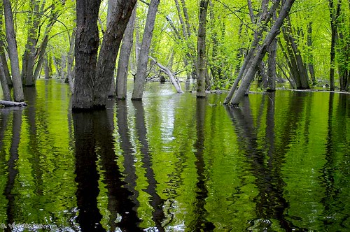
nature water outdoors day maine 2006 orono
Flooded Forest
bangormaine landscape sunnyday newengland
Sunny day in Bangor, Maine
august greenheron butoridesvirescens thegalaxy bangormaine essexwoodsmarsh
Green Heron
maine oldtown hdr stillwaterriver 3xp pushawstream
Pushaw Stream
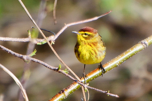
may palmwarbler dendroicapalmarum oronomaine oronolandtrust
Palm Warbler
bangormaine newengland sunrise landscape
Sunrise in Bangor, Maine
penobscotriver tonemapped
Penobscot River
dam milford oldtown hdr hydroelectric 3xp
Penobscot River
may gmt veery catharusfuscescens bangormaine
Hermit Thrush