Elevation of 46 Middle St, Old Town, ME, USA
Location: United States > Maine > Penobscot County > Old Town >
Longitude: -68.6481472
Latitude: 44.9353197
Elevation: 38m / 125feet
Barometric Pressure: 0KPa
Related Photos:

2012-09-16-101349
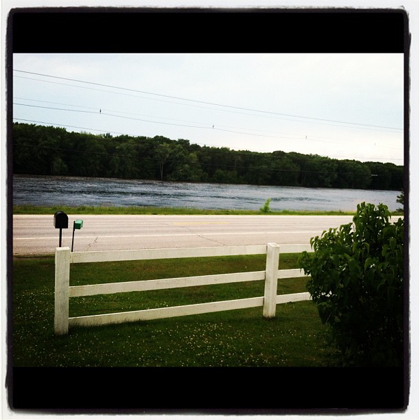
View from the front door.

That bridge again

Stargazing - Little Planet

maine industry

Old Oak Tree
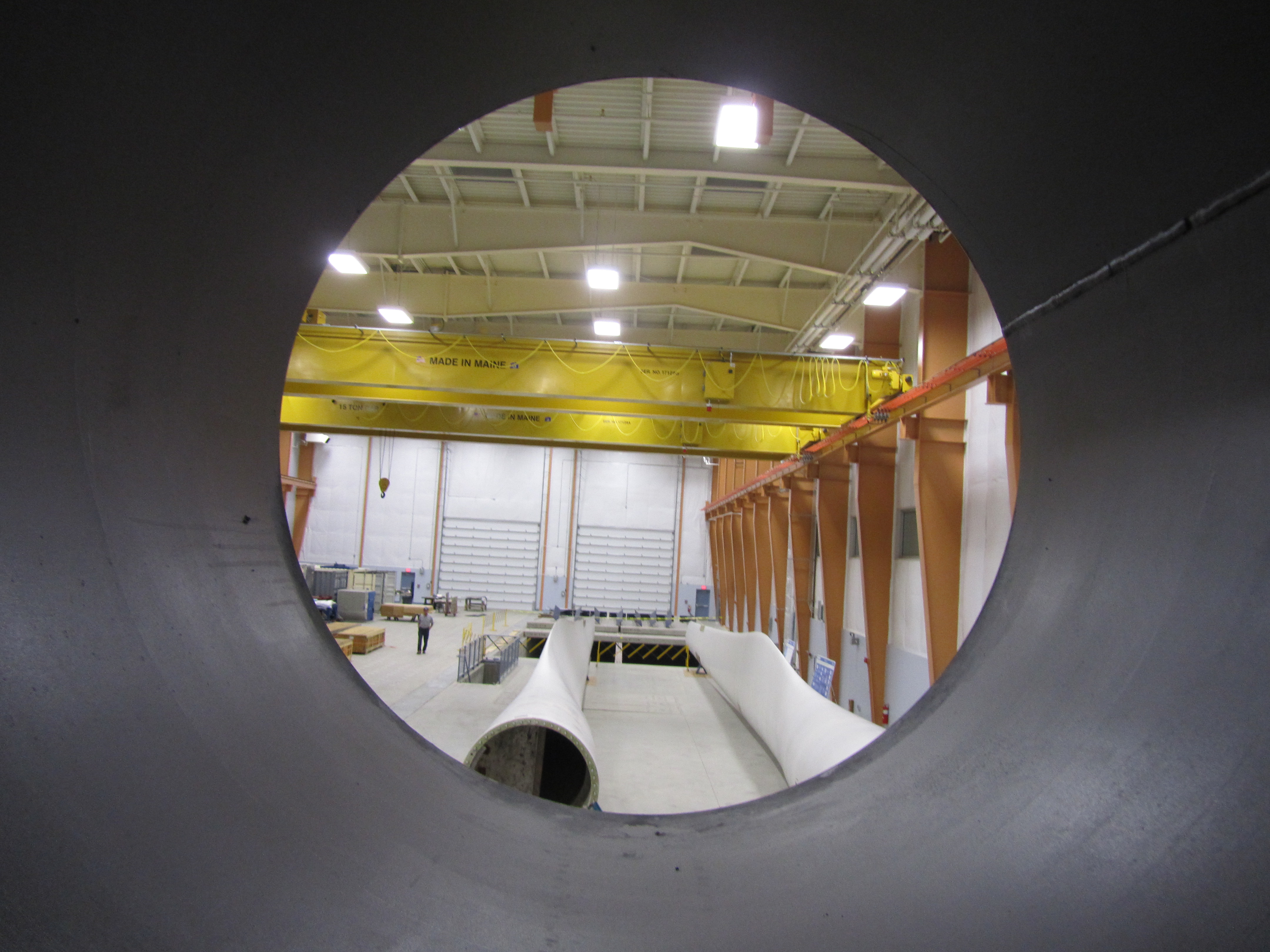
Offshore Wind Laboratory

studying mussels

2012-09-16-101392
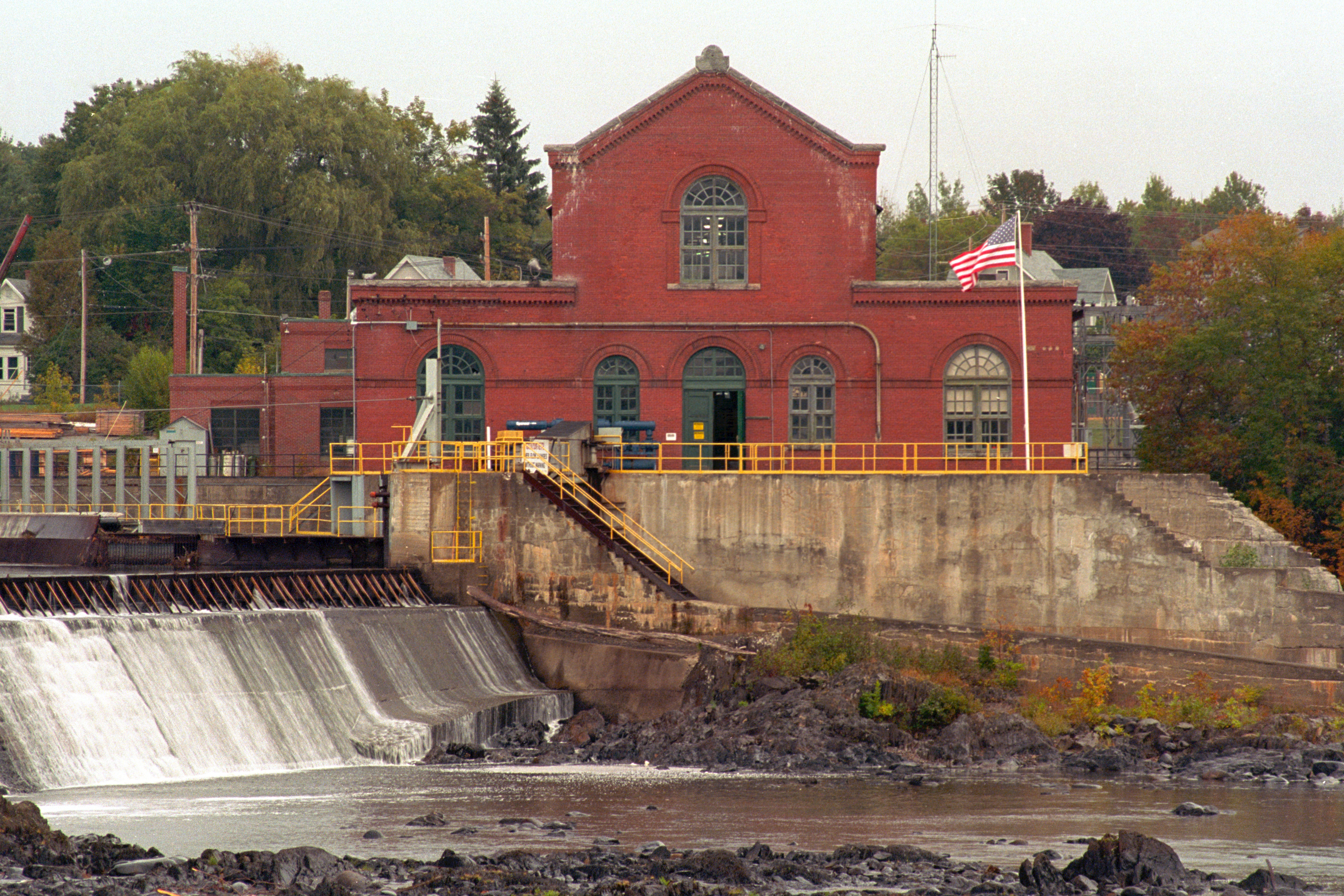
Milford Hydroelectric Station

Blade view, Offshore Wind Laboratory

planting mussels

Too Much?
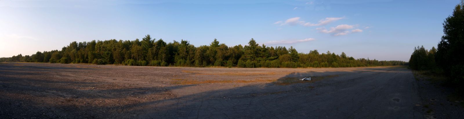
Milford Runway Panorama
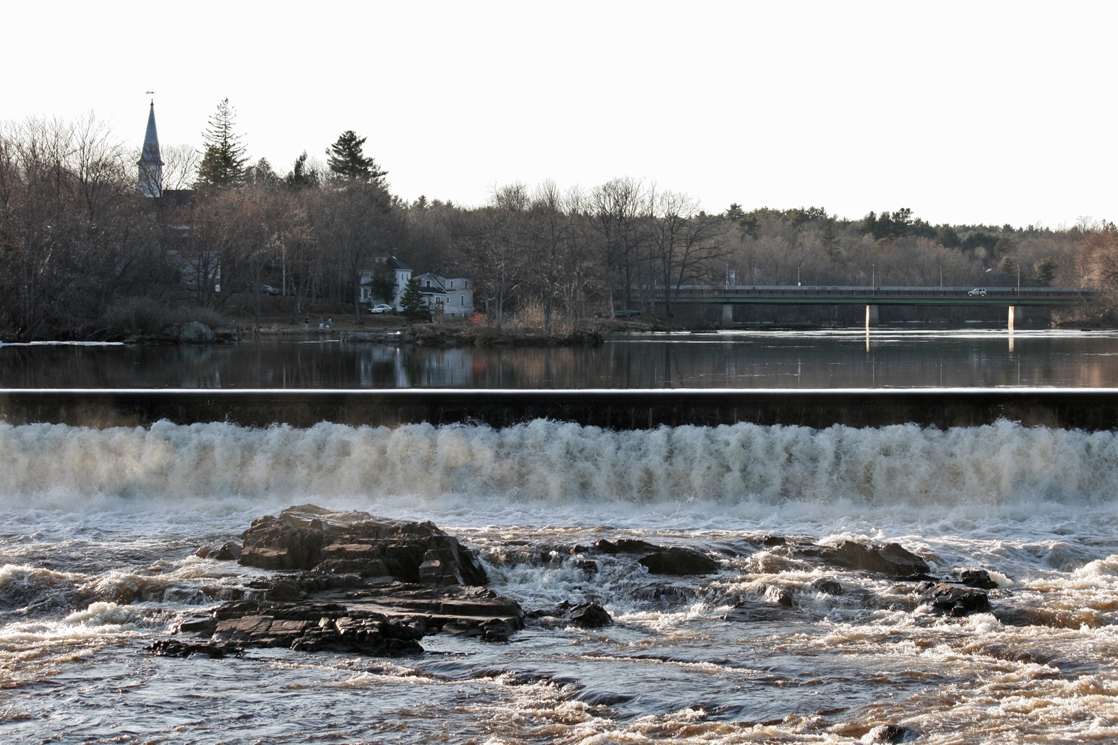
Orono Dam and Main Street Bridge

DailyShoot 583: Water

DailyShoot 84: Narrative
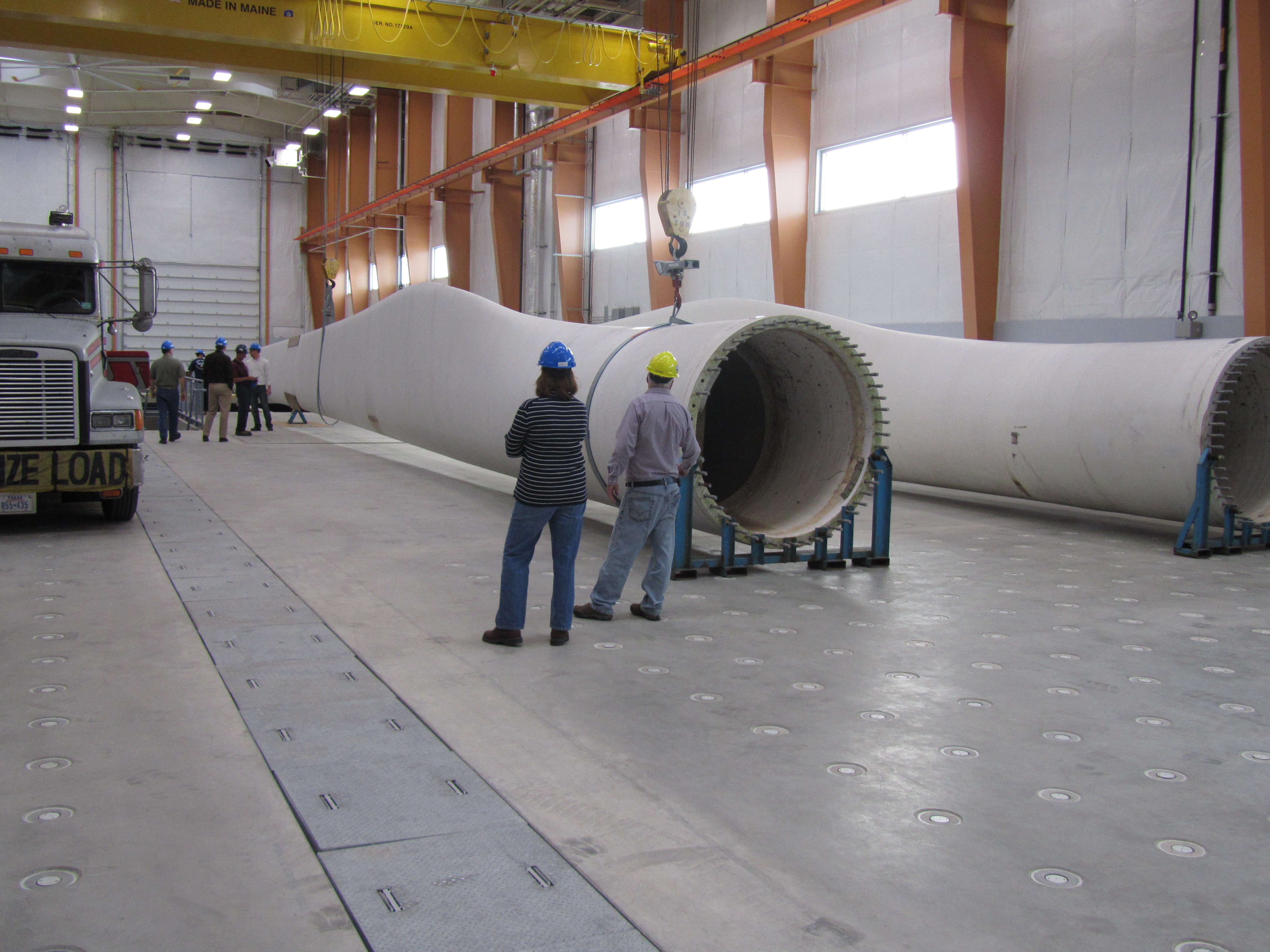
Size comparison, blade view

Once, Twice in a Lifetime

DailyShoot 144: Minimal Gear

DailyShoot 503: Symbol

Eastern Bluebird in Morning Light

Sunrise in Bangor, Maine

Peace & Tranquility.

White-throated Sparrow

Frosty Morning

First Snowfall

stillwater at night

Green Heron

Sand Beach from the Ocean Path

Fox Sparrow
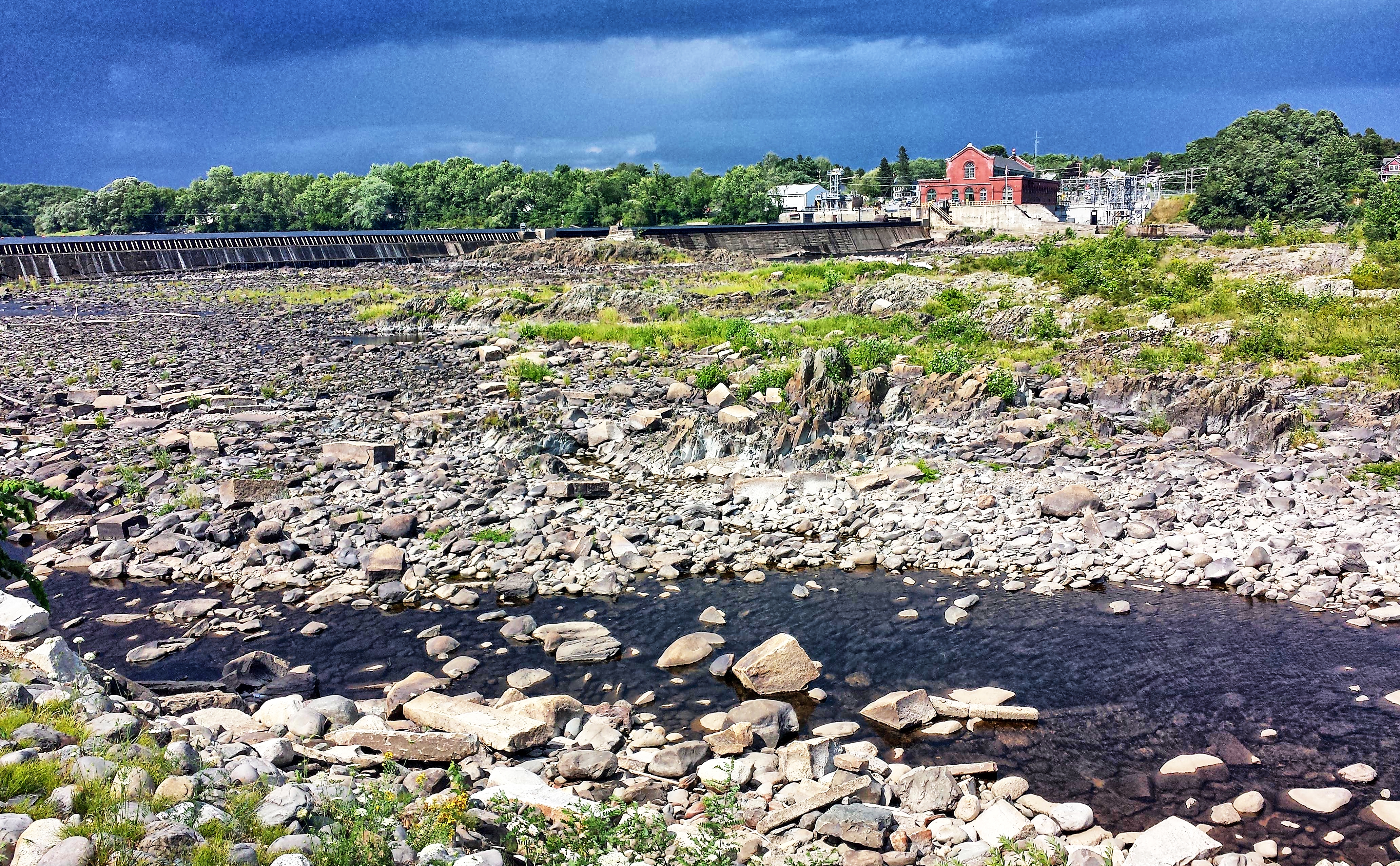
Bodwell Water Power Company Plant- Milford ME (3)

6/22/07 sunset #4

February 15th, 2013

Green Heron

Leonard's Mills
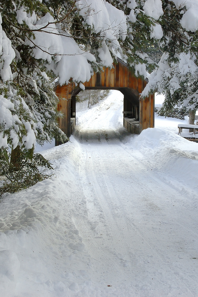
Leonards Mill Covered Bridge

Sunset over Chemo Pond

20131224 - After the Ice - 095

Sunset over Chemo Pond

20131224 - After the Ice - 051

20120617 - Dad's Day - 031
Topographic Map of 46 Middle St, Old Town, ME, USA
Find elevation by address:

Places near 46 Middle St, Old Town, ME, USA:
86 Middle St
255 Main St
Old Town
100 Middle St
32 Gilman Falls Ave
76 River Village Dr
University Of Maine
371 College Ave
Stillwater
168 College Ave
98 Littlefield Ln
36 Oak St
32 Mill St
Orono
Orono
178 Main St
23 Argyle Rd, Old Town, ME, USA
Orono Town
Kelley Road Self Storage
Eddington
Recent Searches:
- Elevation map of Greenland, Greenland
- Elevation of Sullivan Hill, New York, New York, 10002, USA
- Elevation of Morehead Road, Withrow Downs, Charlotte, Mecklenburg County, North Carolina, 28262, USA
- Elevation of 2800, Morehead Road, Withrow Downs, Charlotte, Mecklenburg County, North Carolina, 28262, USA
- Elevation of Yangbi Yi Autonomous County, Yunnan, China
- Elevation of Pingpo, Yangbi Yi Autonomous County, Yunnan, China
- Elevation of Mount Malong, Pingpo, Yangbi Yi Autonomous County, Yunnan, China
- Elevation map of Yongping County, Yunnan, China
- Elevation of North 8th Street, Palatka, Putnam County, Florida, 32177, USA
- Elevation of 107, Big Apple Road, East Palatka, Putnam County, Florida, 32131, USA
- Elevation of Jiezi, Chongzhou City, Sichuan, China
- Elevation of Chongzhou City, Sichuan, China
- Elevation of Huaiyuan, Chongzhou City, Sichuan, China
- Elevation of Qingxia, Chengdu, Sichuan, China
- Elevation of Corso Fratelli Cairoli, 35, Macerata MC, Italy
- Elevation of Tallevast Rd, Sarasota, FL, USA
- Elevation of 4th St E, Sonoma, CA, USA
- Elevation of Black Hollow Rd, Pennsdale, PA, USA
- Elevation of Oakland Ave, Williamsport, PA, USA
- Elevation of Pedrógão Grande, Portugal