Elevation of 23 Argyle Rd, Old Town, ME, USA
Location: United States > Maine > Penobscot County > Old Town >

Longitude: -68.692411

Latitude: 44.986042

Elevation: 42m / 138feet

Barometric Pressure: 101KPa

Elevation Map:

elevation map of 23 Argyle Rd, Old Town, ME, USA
Satellite Map:

Satellite map of 23 Argyle Rd, Old Town, ME, USA
Related Photos:

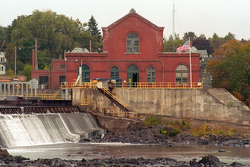
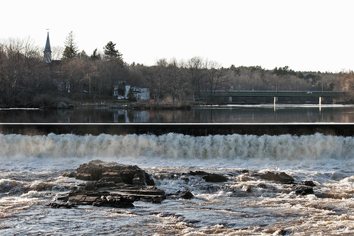
vacation industry river dam maine powerplant hydroelectric nikonf5 colorneg vuescan nikoncoolscan5000ed kodakektar100 nikkor75300mmf4556afzoom
Milford Hydroelectric Station
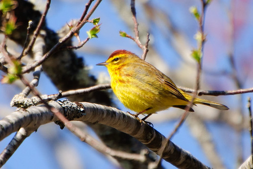
may gmt palmwarbler dendroicapalmarum oronomaine oronolandtrust
Palm Warbler, Side View
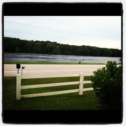
square lofi squareformat iphoneography instagramapp uploaded:by=instagram
View from the front door.
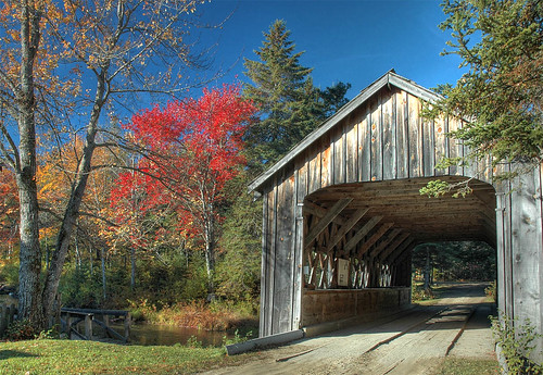
fall maine bradley hdr 3xp leonardsmills
That bridge again
railroad sky mill maine rail boxcar oldtown d80
maine industry
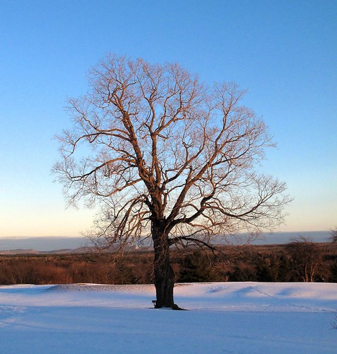
Old Oak Tree
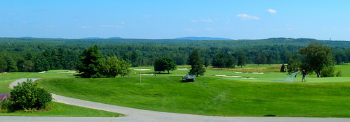
wedding maine wallace oldtown penobscotvalleycountryclub
2009 Aug 15 - This is the view from the Penobscot Valley Country Club in Old Town, Maine, where Steve and Emily Wallace's Wedding Reception was held.
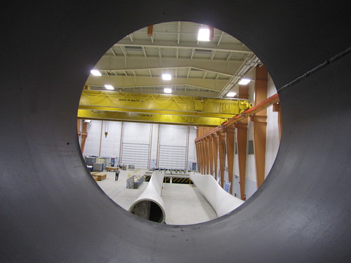
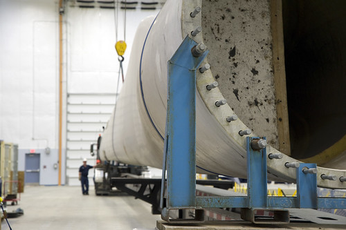
universityofmaine windblade bladetesting deepcwind offshorewindlaboratory advancedstructuresandcompositescenter deepcwindlab
Offshore Wind Laboratory
Pushaw Lake, Maine, Sunrise
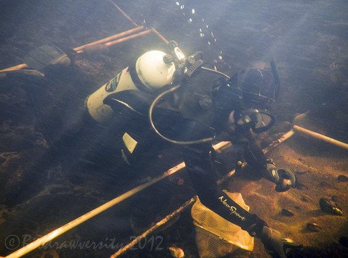
river underwater maine diving science diver mussels fieldwork scubadiver penobscotriver biodrawversity corbinbrody yellowlampmussels
studying mussels
Pushaw Lake, Maine, Sunrise
2009 photoseries canonef70300mmf456isusm canoneos40d
Painted Turtle Pt. 1 (Photo Series)
Pushaw Lake, Maine, Sunrise
b texture keyboard aluminum n m v command tourmaline spacebar macbookpro ds469
DailyShoot 489: Glowing
universityofmaine windblade bladetesting deepcwind offshorewindlaboratory advancedstructuresandcompositescenter deepcwindlab
Blade view, Offshore Wind Laboratory
ecology river underwater maine scuba diving science scubadiving diver mussels penobscot penobscotriver biodrawversity
planting mussels
fall maine hdr 3xp
Too Much?
night photos
Cool night shot
blue red white black macro reflection green water grid rainbow spectrum magenta h2o refraction pixels chromatic triad aberration ds583
DailyShoot 583: Water
bridge water flow downtown dam stillwaterriver route2 oronomaine
Orono Dam and Main Street Bridge
2002 naked curvy motorbike motorcycle sportbike suzuki sv650 diylighting stickinacan diypfav
SV at night
reflection fall interestingness frost interestingness1 maine explore getty oldtown hdr 3xp abigfave
Frosty Morning
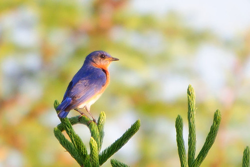
male june easternbluebird sialiasialis colorphotoaward glenburnmaine mygearandme
Eastern Bluebird in Morning Light
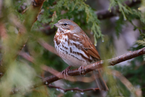
april boreal foxsparrow passerellailiaca glenburnmaine
Fox Sparrow
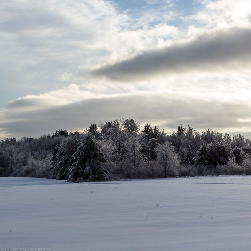
trees winter sky plants snow home nature public field weather clouds buildings season outside photo search flickr unitedstates maine structures sunny places scene safety rights sharing type everyone safe facebook export glenburn momdads ccbyncsa
20131224 - After the Ice - 095
Pushaw Lake, Maine, Sunrise
maine 2007 canonef28135mmf3556isusm cotcmostinteresting canonrebelxti
Pushaw lake sunrise
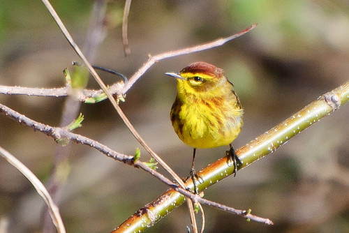
may palmwarbler dendroicapalmarum oronomaine oronolandtrust
Palm Warbler
October 6, 2010 The warmth of wood takes on many shapes and forms. Make a photograph of something made of wood today. "tabel"
trees sunset forest spooky uploaded:by=flickrmobile flickriosapp:filter=chameleon chameleonfilter
February 15th, 2013
nature water outdoors day maine 2006 orono
Flooded Forest
stillwater at night
6/22/07 sunset #4
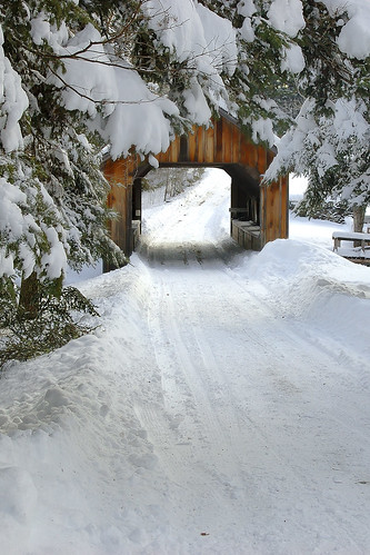
bridge snow landscape nikon maine coveredbridge winterscene mygearandme mygearandmepremium mygearandmebronze mygearandmesilver mygearandmegold
Leonards Mill Covered Bridge
penobscotriver tonemapped
Penobscot River
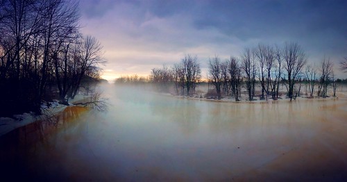
Foggy Morning at Old Town Maine
2011 08 23 170028
2011 08 23 170028
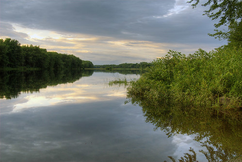
autumn reflection fall water maine foliage hdr 3xp
Leonard's Mills