Elevation of Mariaville Rd, Amherst, ME, USA
Location: United States > Maine > Hancock County >
Longitude: -68.36517
Latitude: 44.830553
Elevation: 99m / 325feet
Barometric Pressure: 100KPa
Elevation Map:
Satellite Map:
Related Photos:
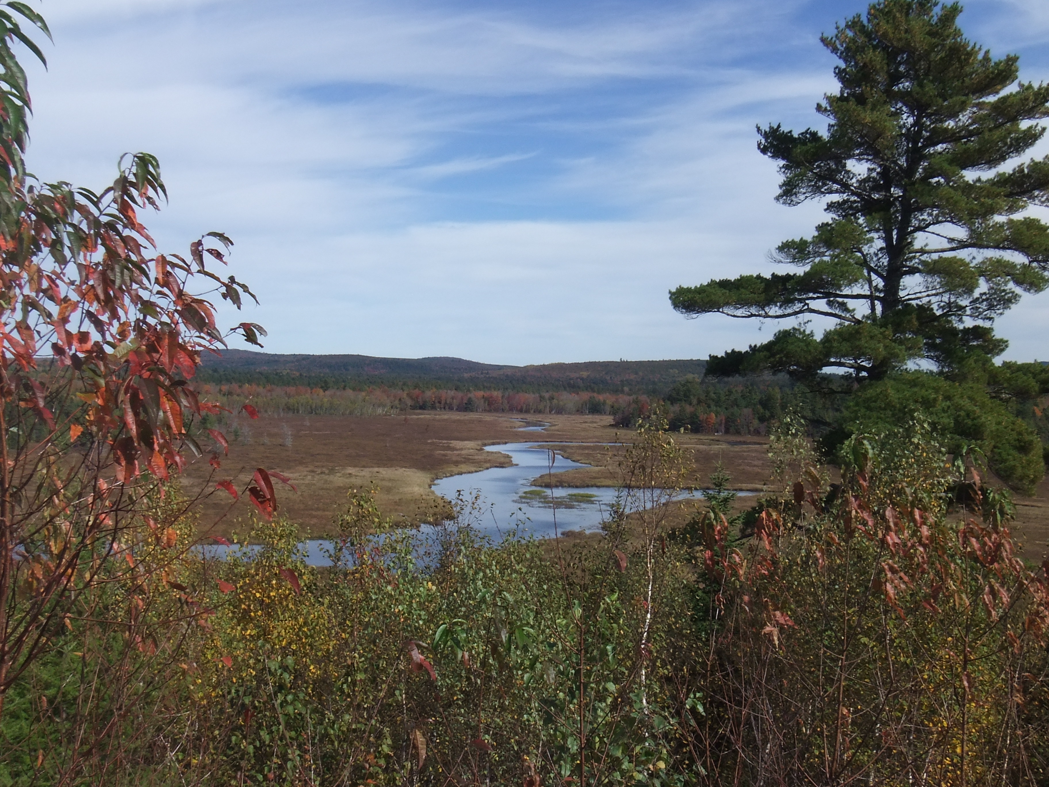
Middle Branch Union River
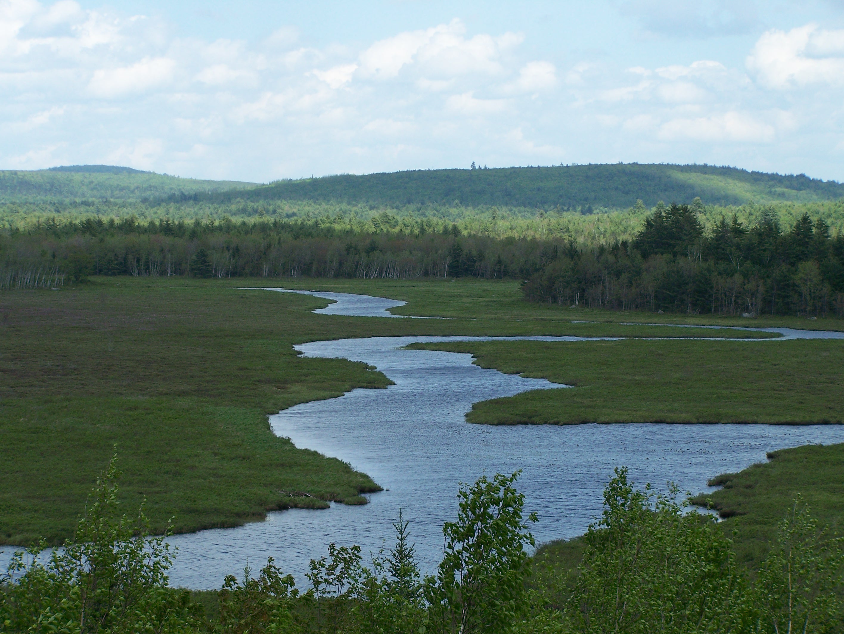
Branch Stream

Sunset pond
On The Pond

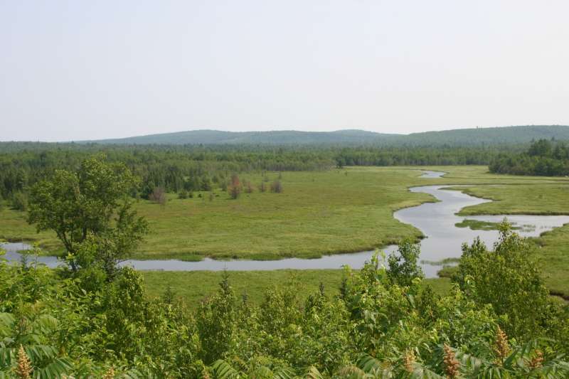
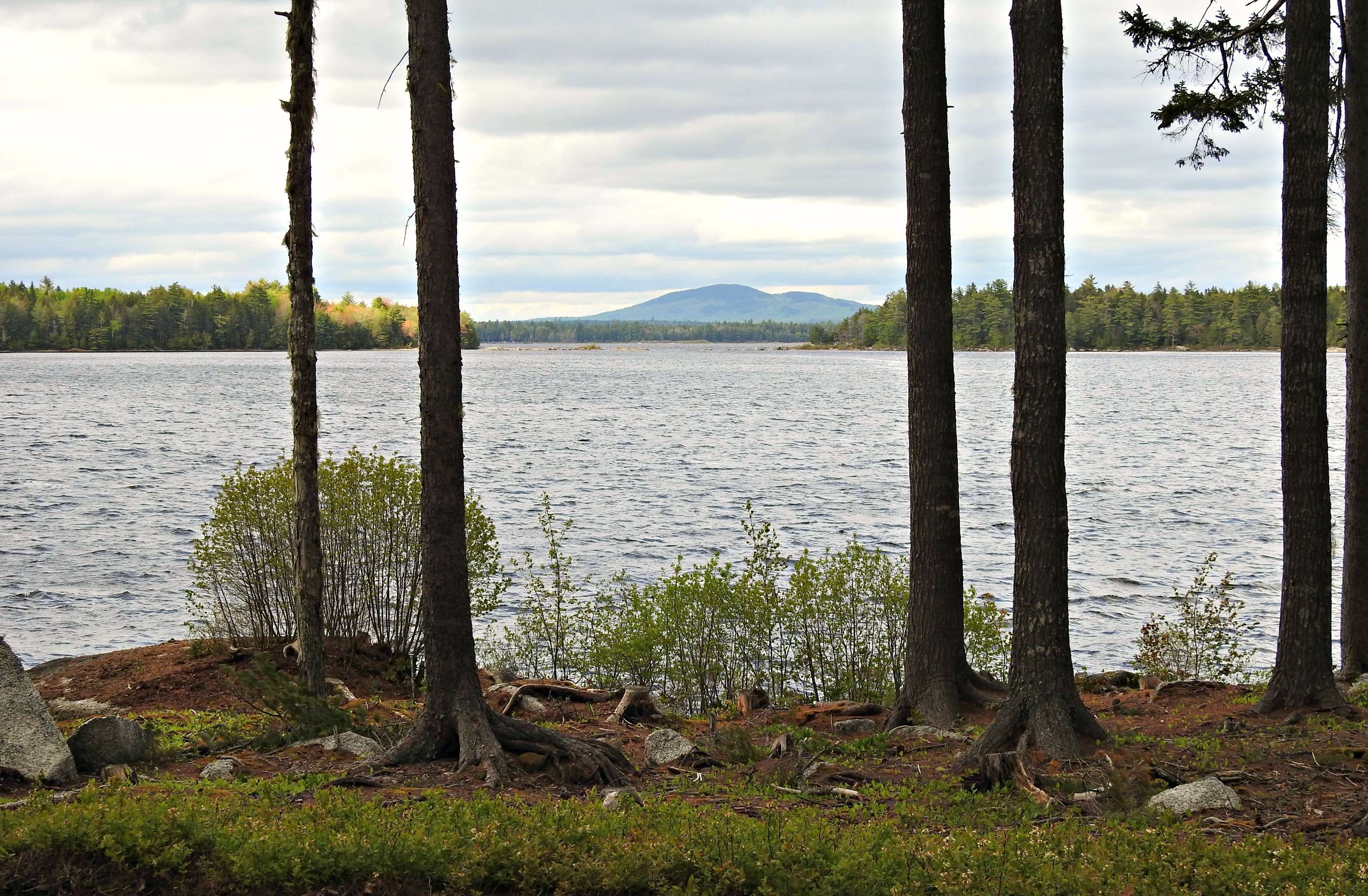
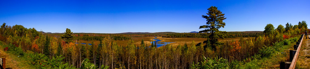
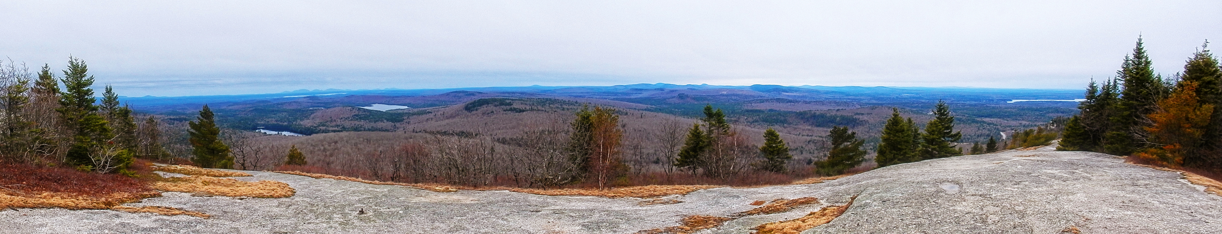
Scenic Lookout in Maine
The Whalesback

Fawn Darner depositing eggs
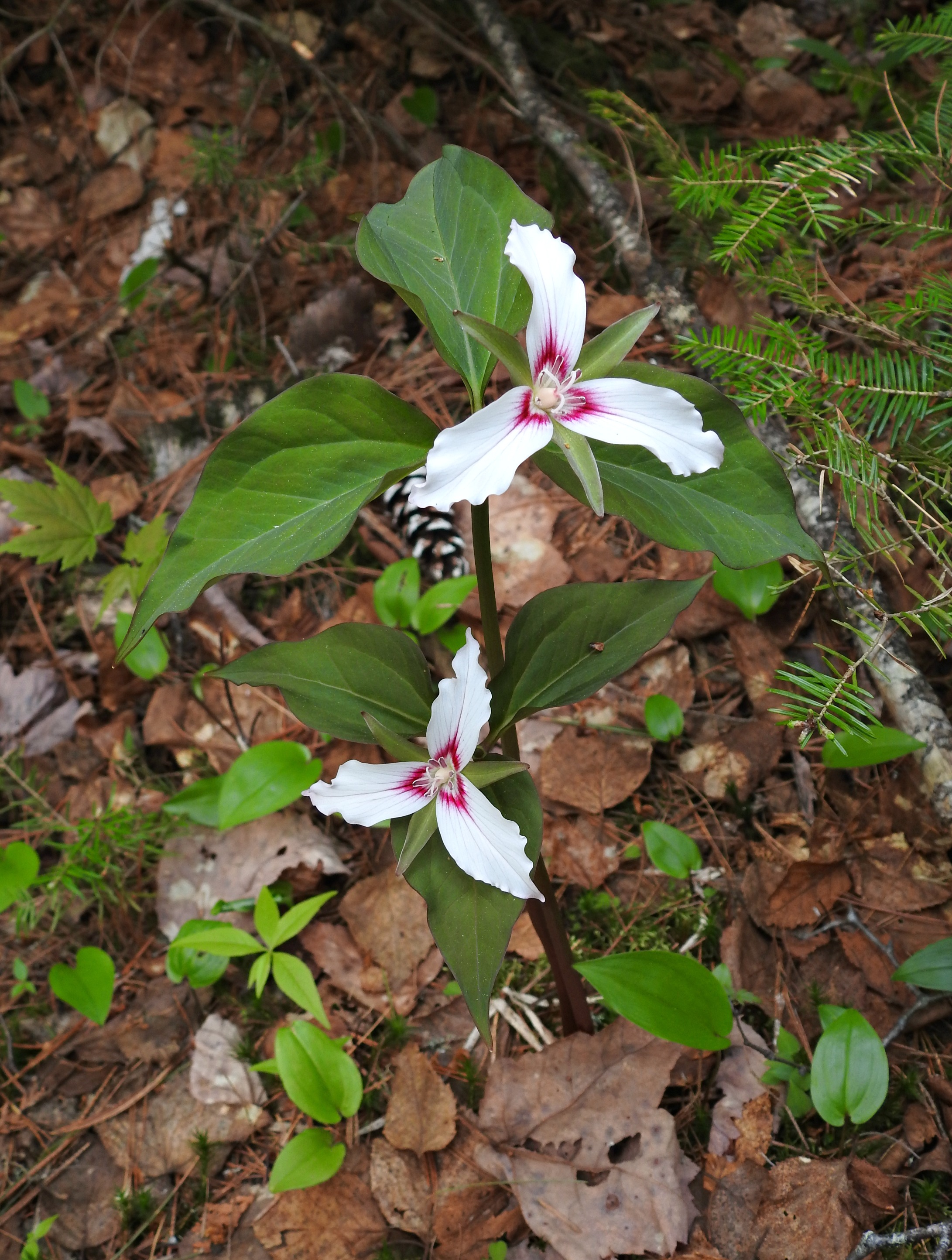
Painted Trilliums
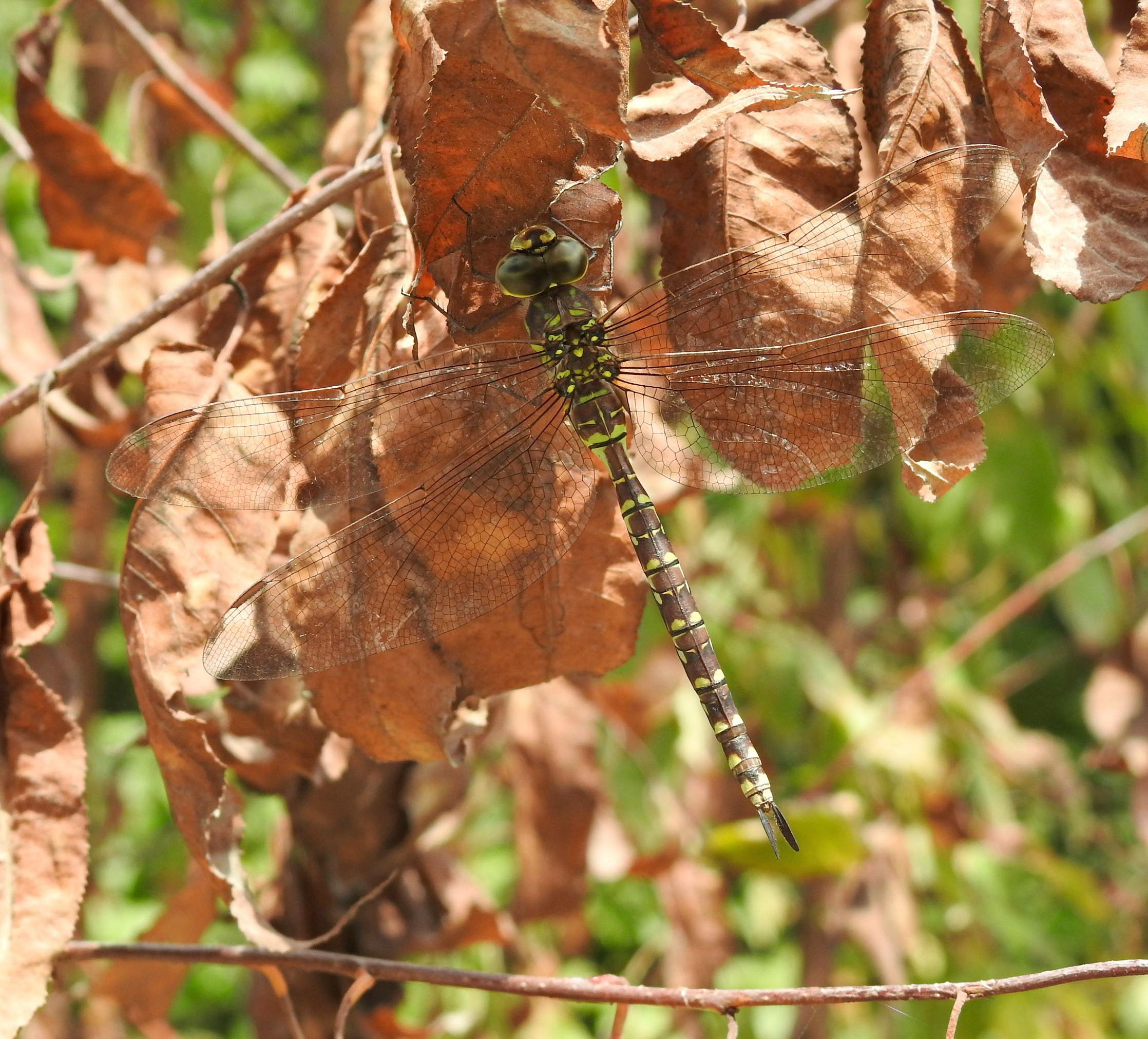
Canada Darner, female

Canada Darner, female
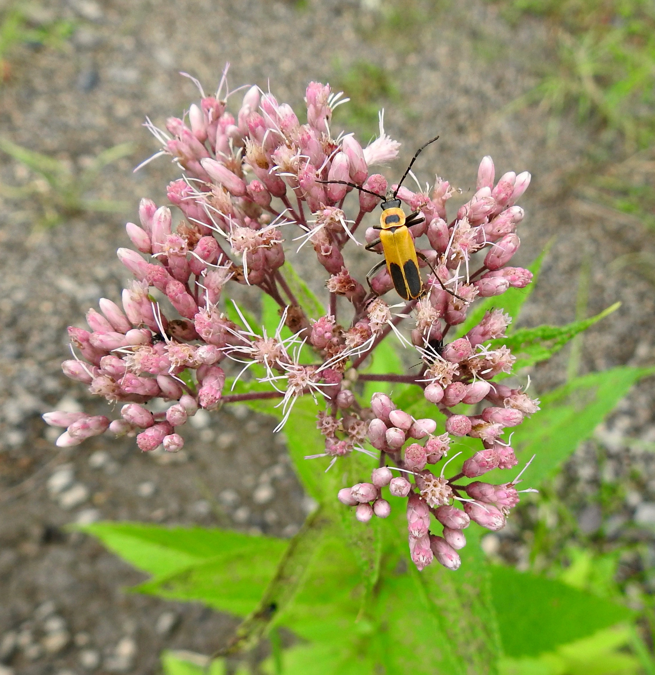
Pennsylvania Leather-wing on Joe Pye Weed
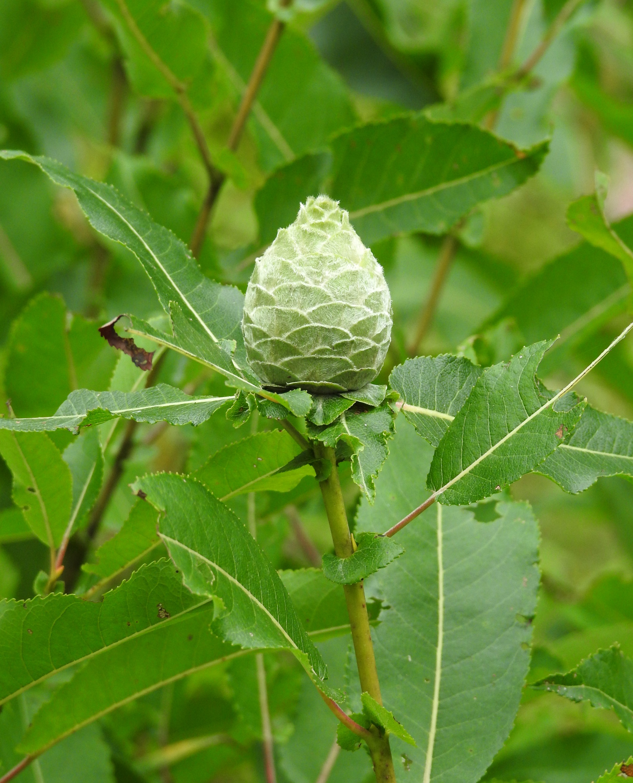
Willow Pine Cone Gall

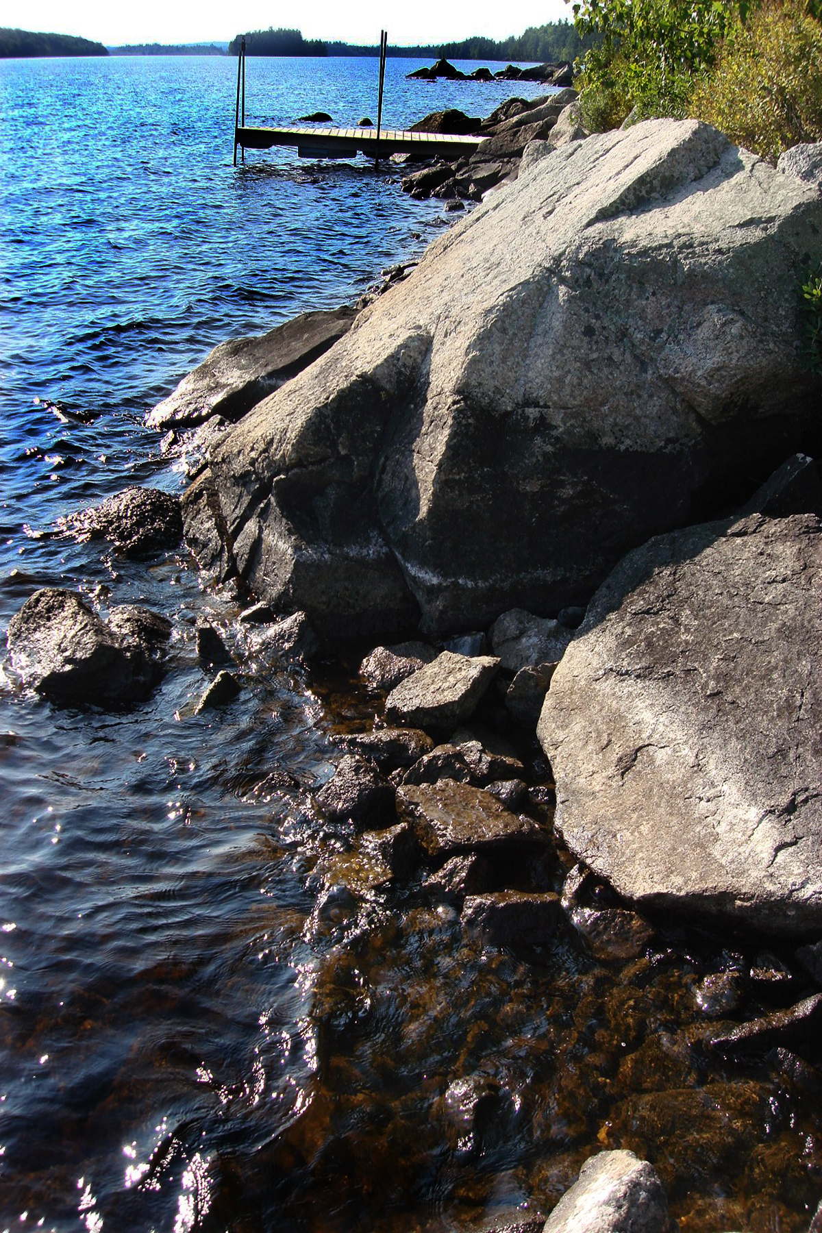
Molasses Pond Inlet
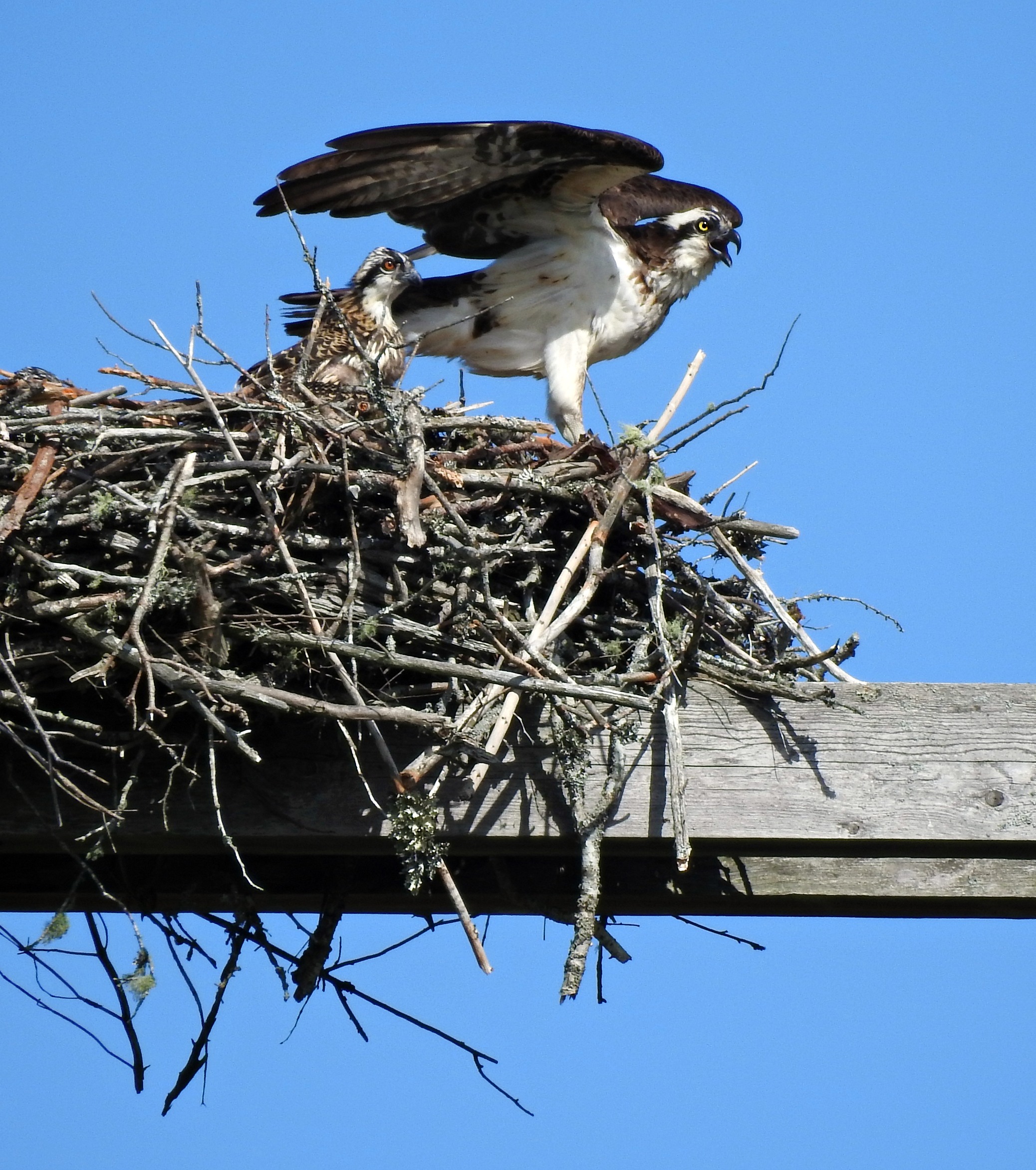
Osprey with Baby
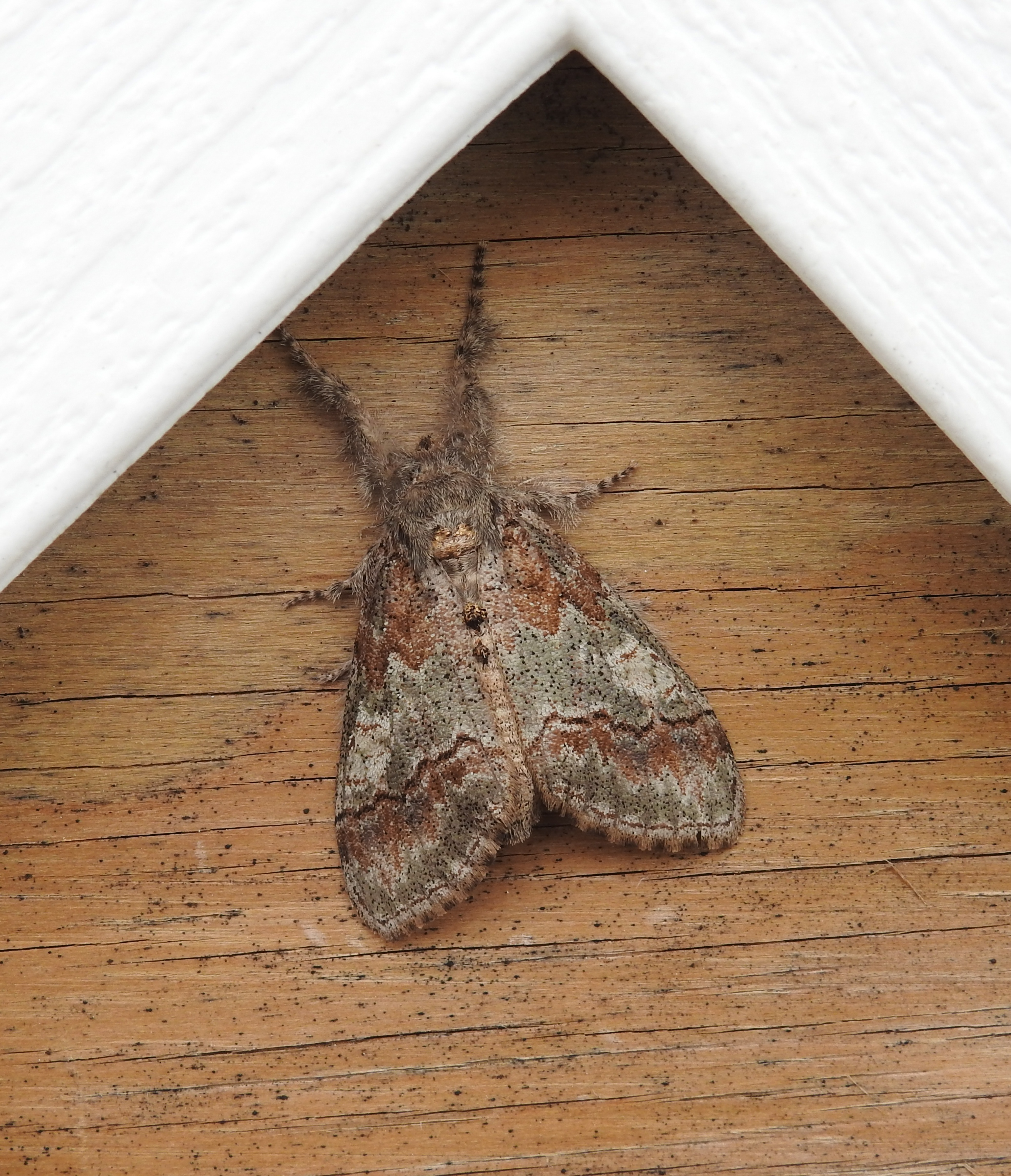
Yellow-based Tussock Moth
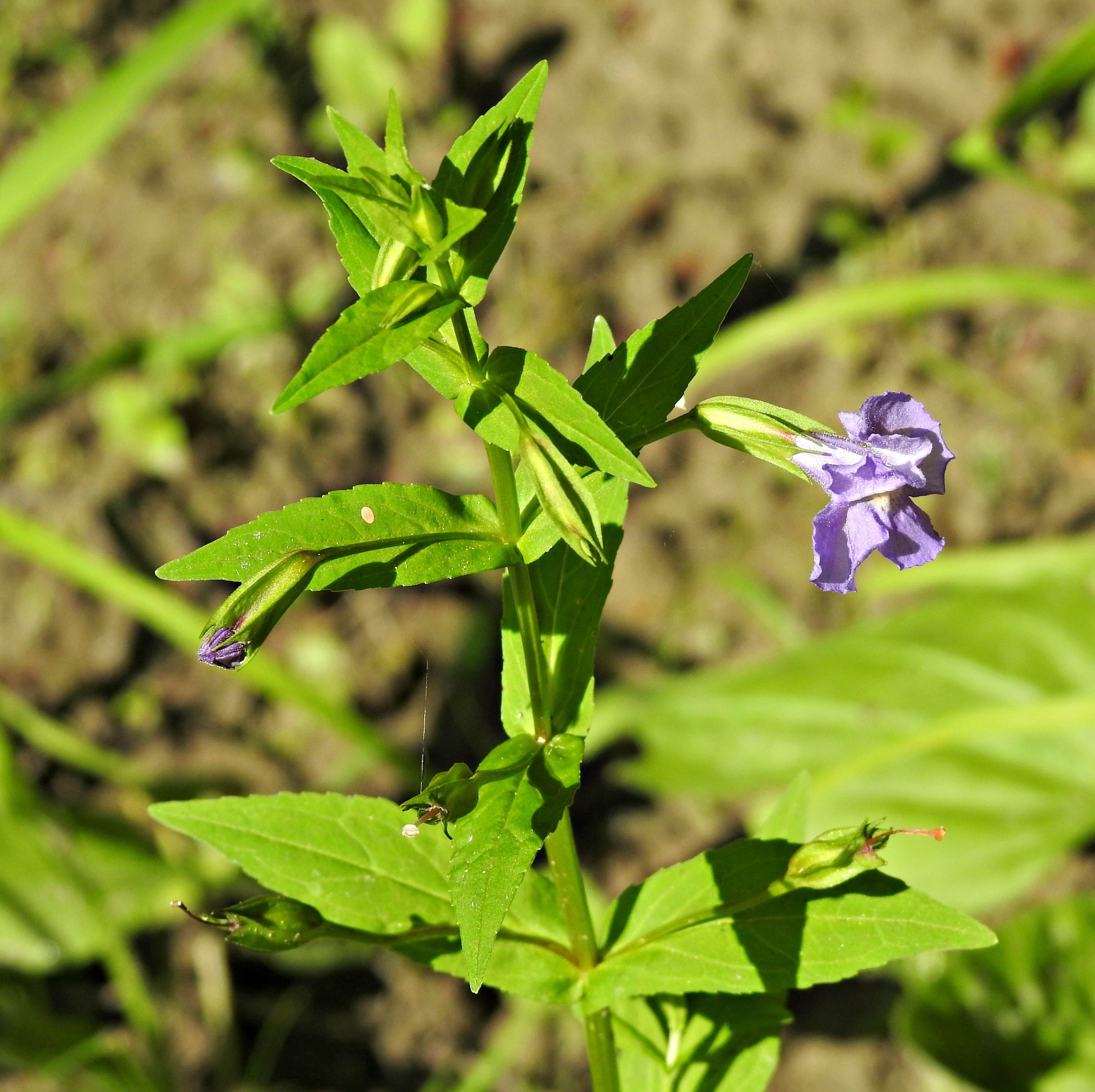
Monkey Flower

Calico Pennant, male

Along the Spectacle Pond Road
Spectacle Pond
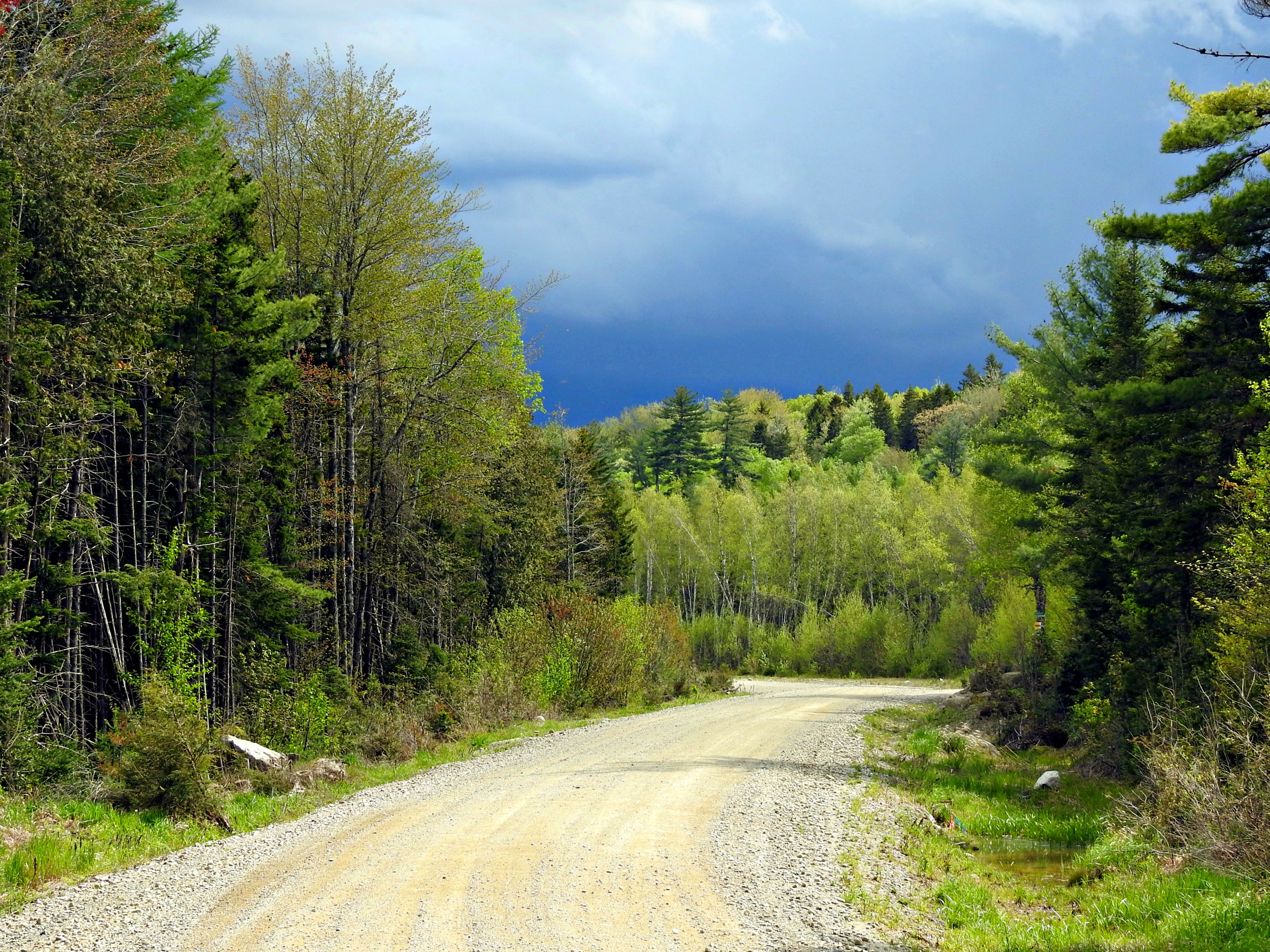
Storm moving in!
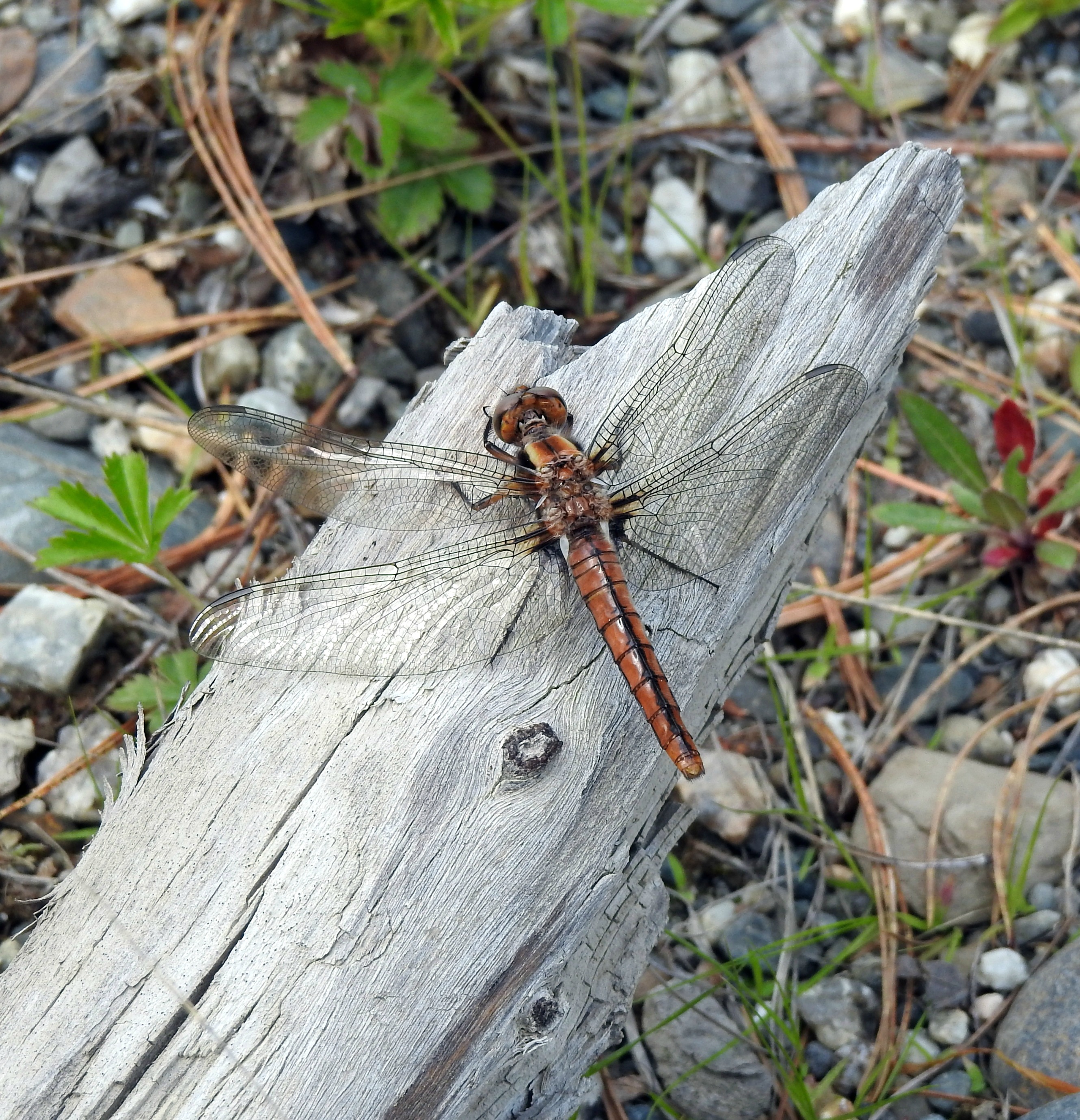
Chalk-fronted Corporal, female
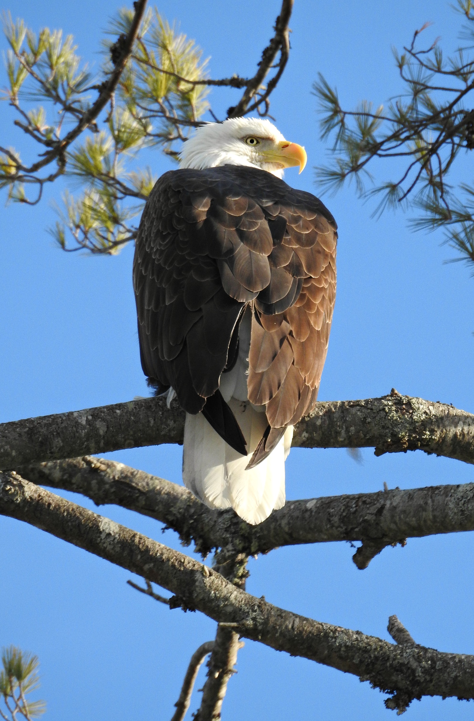
Bald Eagle
USA- Maine- Aurora Scenic Overlook

Chick Hill02
Chick Hill01
Topographic Map of Mariaville Rd, Amherst, ME, USA
Find elevation by address:

Places near Mariaville Rd, Amherst, ME, USA:
Amherst
24 Smith Rd
Aurora
River Road
11 Whispering Pines Dr
Mariaville
912 Great Pond Rd
953 Great Pond Rd
953 Great Pond Rd
Great Pond Rd, Great Pond, ME, USA
592 Airline Rd
Clifton
Otis
Great Pond
167 Schoolhouse Rd
Black Cap Mountain
593 Mariaville Rd
78 Bridgetwin Rd
Hancock County
Bangor Rd, Ellsworth, ME, USA
Recent Searches:
- Elevation of Corso Fratelli Cairoli, 35, Macerata MC, Italy
- Elevation of Tallevast Rd, Sarasota, FL, USA
- Elevation of 4th St E, Sonoma, CA, USA
- Elevation of Black Hollow Rd, Pennsdale, PA, USA
- Elevation of Oakland Ave, Williamsport, PA, USA
- Elevation of Pedrógão Grande, Portugal
- Elevation of Klee Dr, Martinsburg, WV, USA
- Elevation of Via Roma, Pieranica CR, Italy
- Elevation of Tavkvetili Mountain, Georgia
- Elevation of Hartfords Bluff Cir, Mt Pleasant, SC, USA