Elevation of 11 Whispering Pines Dr, Mariaville, ME, USA
Location: United States > Maine > Hancock County > Mariaville >
Longitude: -68.389498
Latitude: 44.7337149
Elevation: 39m / 128feet
Barometric Pressure: 101KPa
Elevation Map:
Satellite Map:
Related Photos:
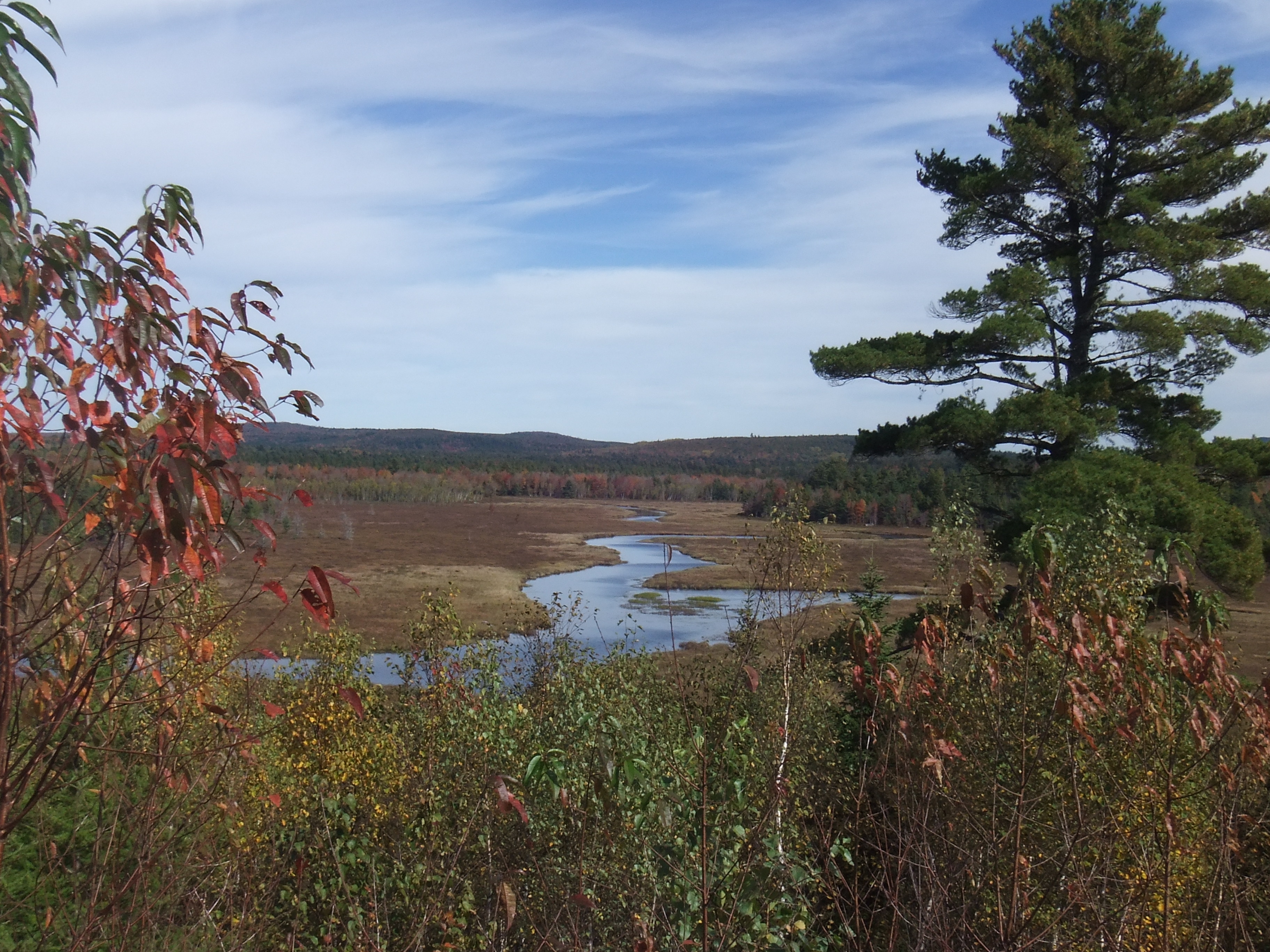
Middle Branch Union River
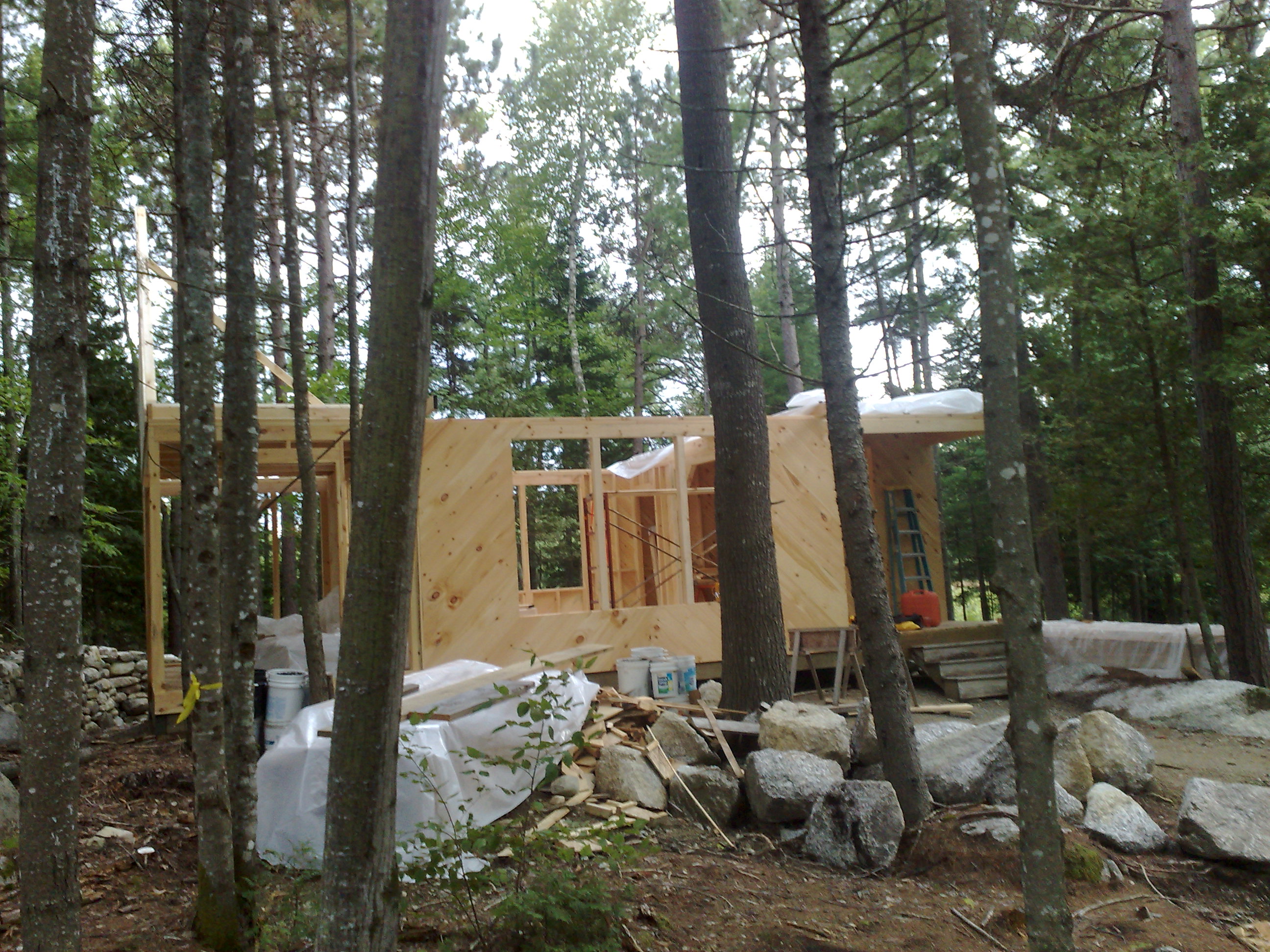
Front view, camp Sept 7, 08
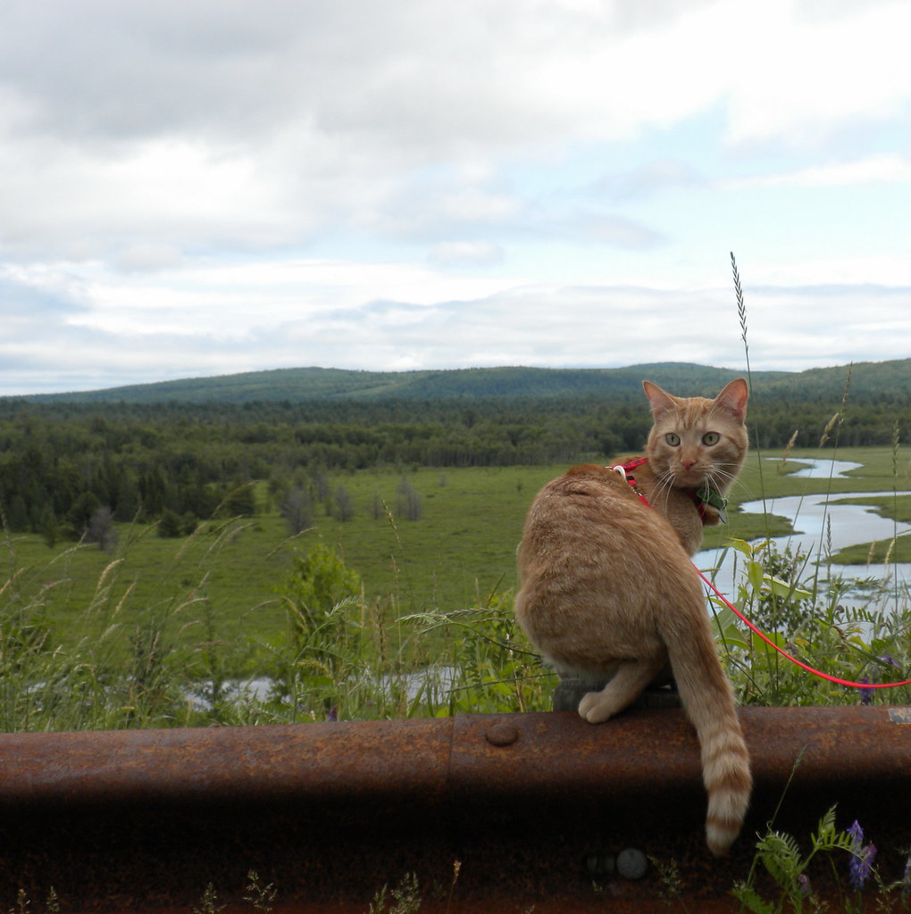
Scenic Lookout in Maine

Rear view of the Camp
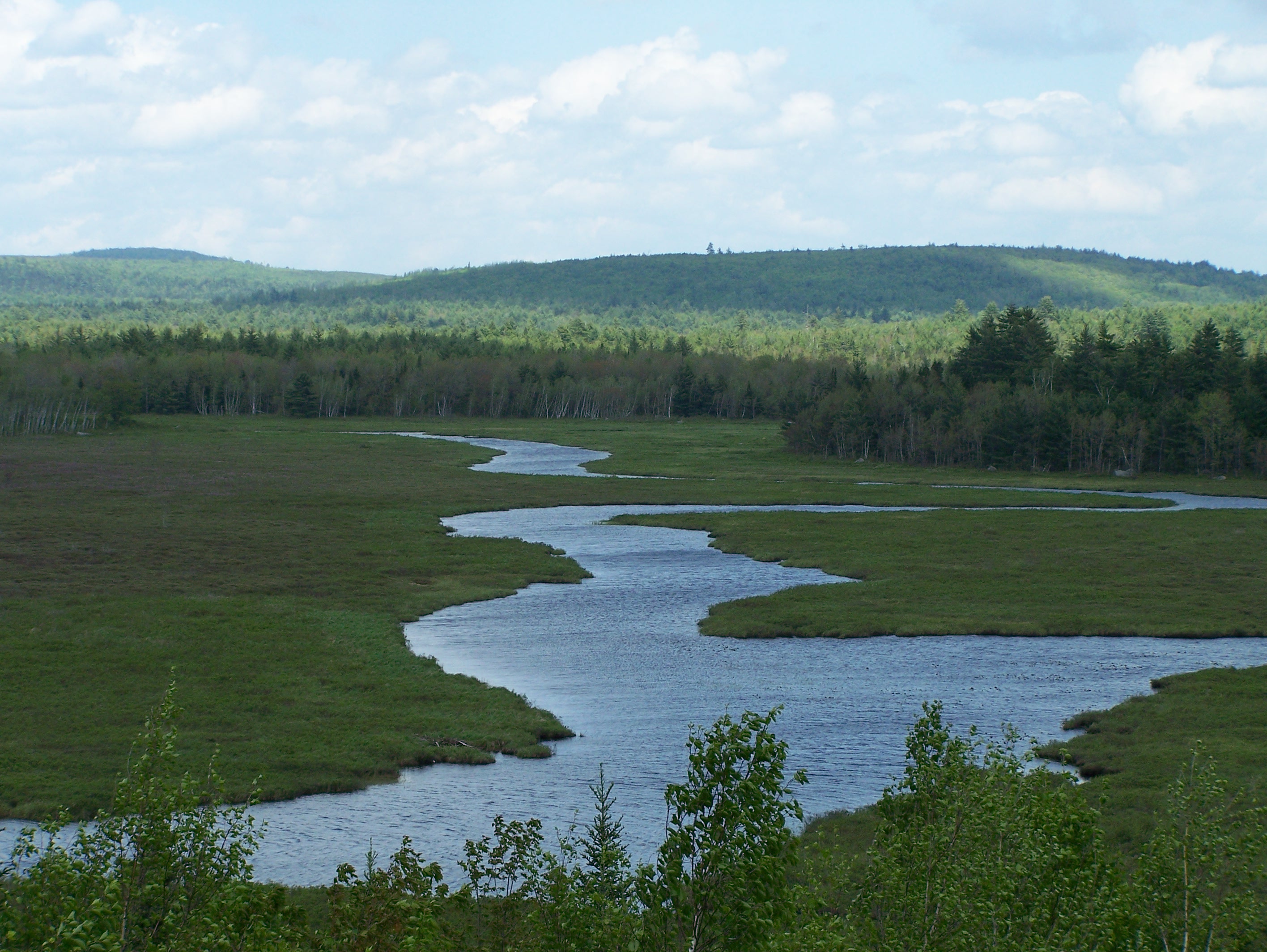
Branch Stream

180326-Boston-003.jpg

DSC02340.jpg

DSC02358.jpg

Tim Suellentrop

sunset over the lake
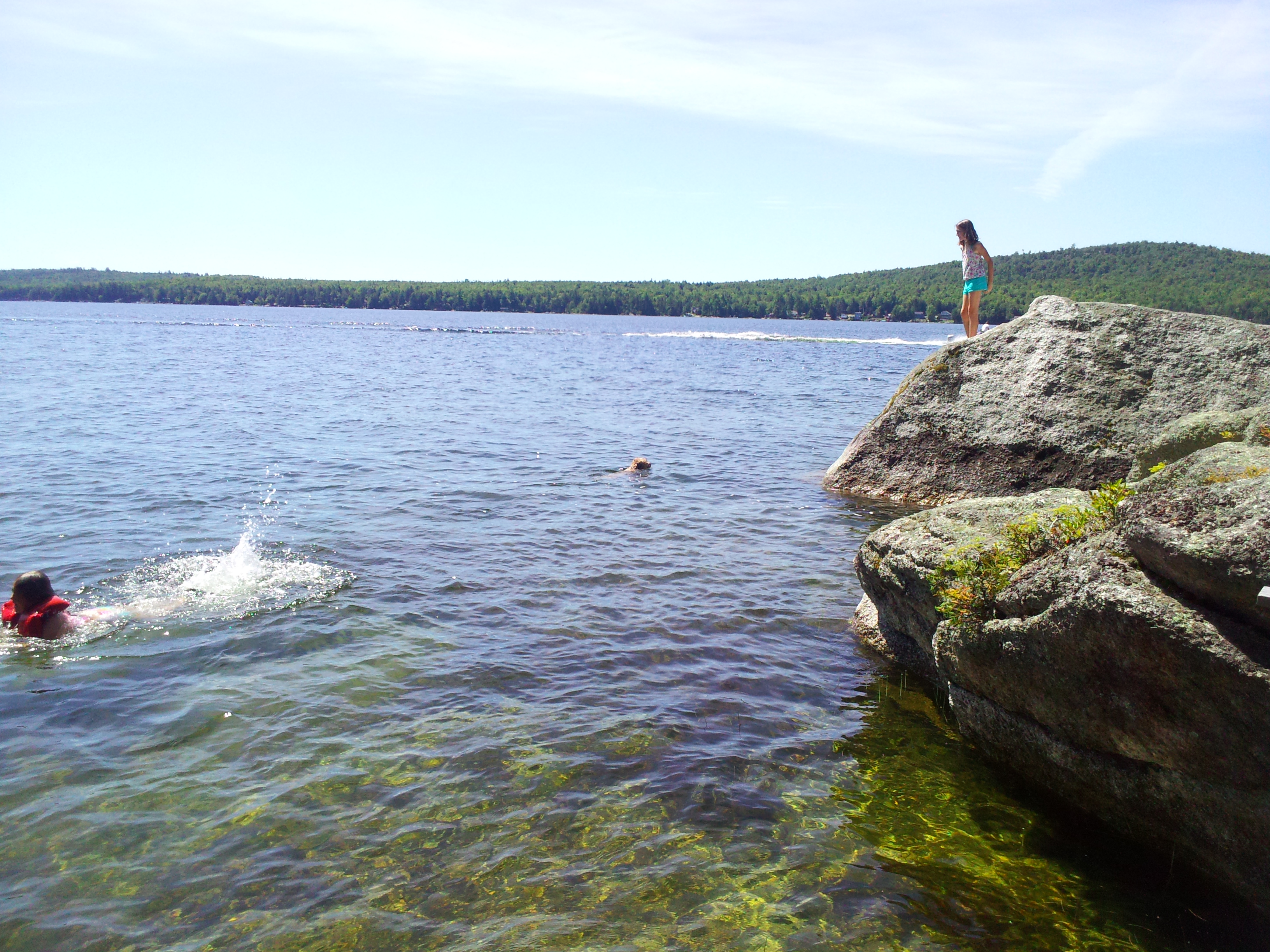
Emma prepares to dive
10212007005.jpg
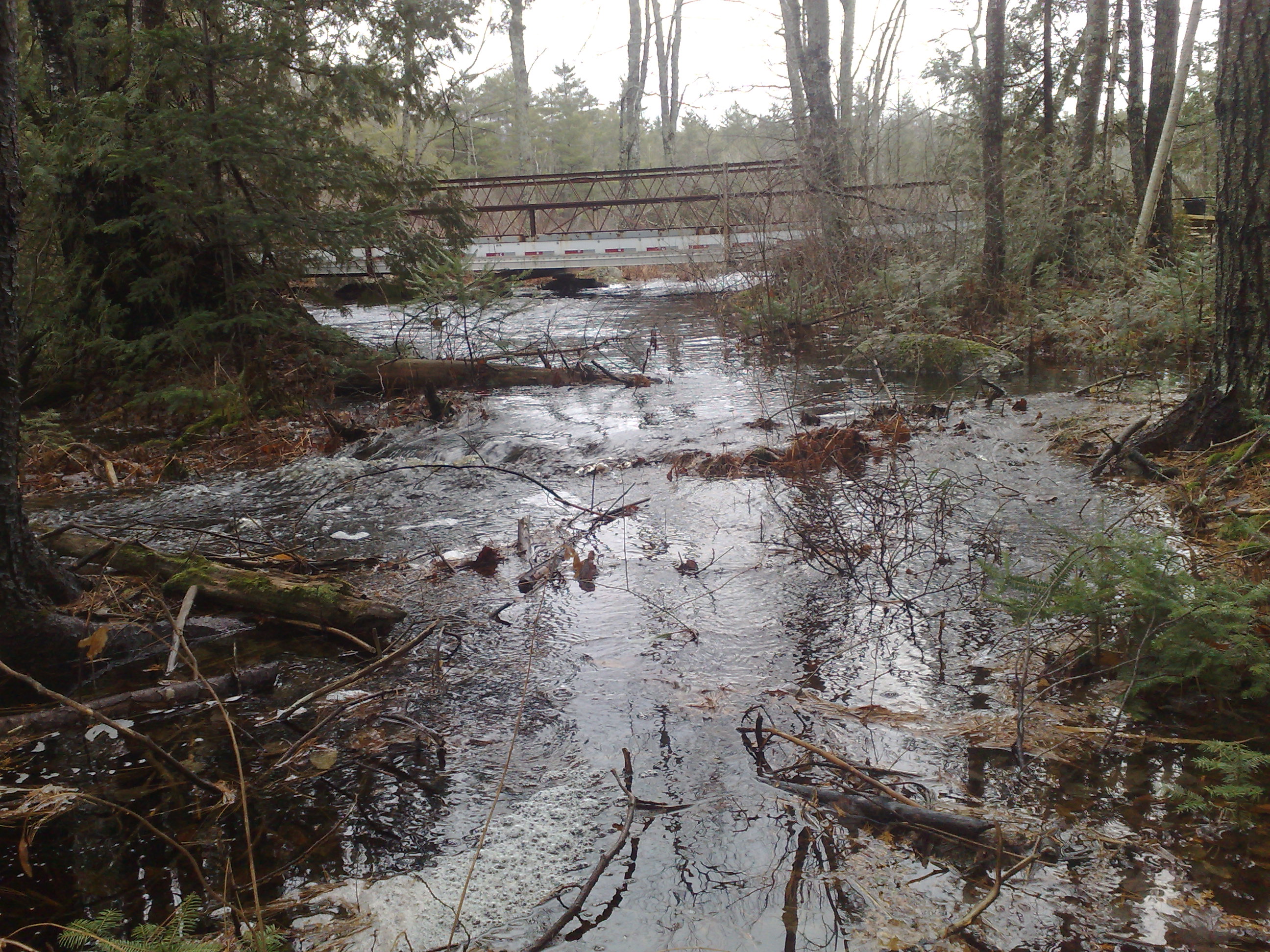
High Water
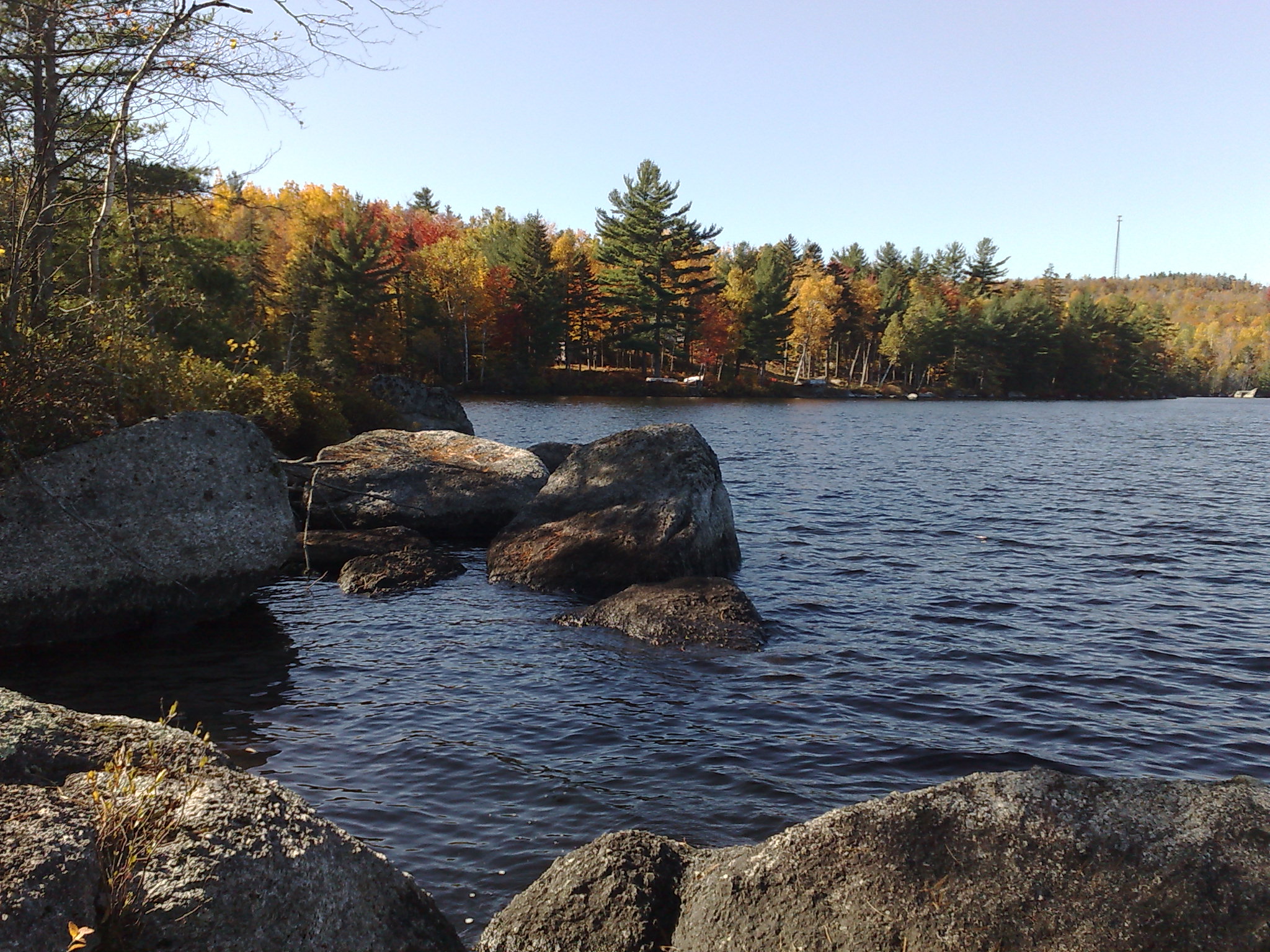
Beech Hill Pond
180326-Boston-001.jpg
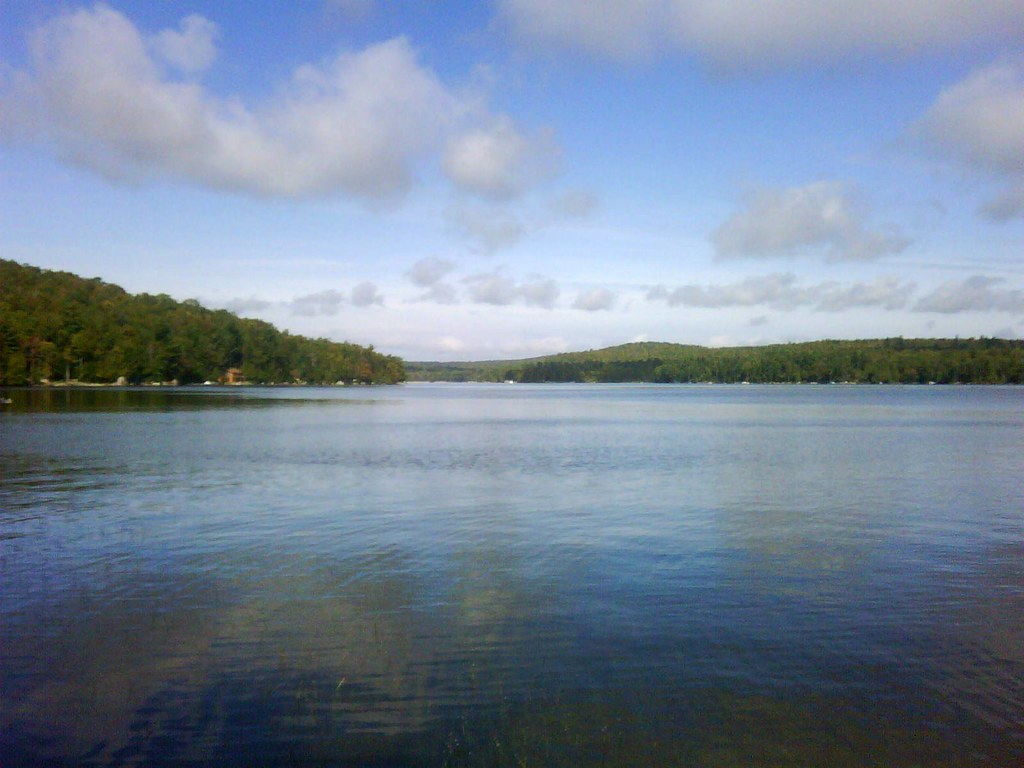
The lake
local gravel pit
Beech Hill Pond
Topographic Map of 11 Whispering Pines Dr, Mariaville, ME, USA
Find elevation by address:

Places near 11 Whispering Pines Dr, Mariaville, ME, USA:
Mariaville
River Road
Otis
167 Schoolhouse Rd
3840 Mariaville Rd
Amherst
24 Smith Rd
593 Mariaville Rd
Aurora
592 Airline Rd
Clifton
78 Bridgetwin Rd
Hancock County
Black Cap Mountain
Bangor Rd, Ellsworth, ME, USA
Washington Junction Rd, Ellsworth, ME, USA
12 Western Ave
Ellsworth
Kellys Lane
2 Kellys Ln #43
Recent Searches:
- Elevation of Corso Fratelli Cairoli, 35, Macerata MC, Italy
- Elevation of Tallevast Rd, Sarasota, FL, USA
- Elevation of 4th St E, Sonoma, CA, USA
- Elevation of Black Hollow Rd, Pennsdale, PA, USA
- Elevation of Oakland Ave, Williamsport, PA, USA
- Elevation of Pedrógão Grande, Portugal
- Elevation of Klee Dr, Martinsburg, WV, USA
- Elevation of Via Roma, Pieranica CR, Italy
- Elevation of Tavkvetili Mountain, Georgia
- Elevation of Hartfords Bluff Cir, Mt Pleasant, SC, USA