Elevation of 94 Buckhorn Trail, Newcastle, WY, USA
Location: United States > Wyoming > Weston County > Newcastle >
Longitude: -104.11130
Latitude: 44.1507499
Elevation: 1843m / 6047feet
Barometric Pressure: 81KPa
Elevation Map:
Satellite Map:
Related Photos:

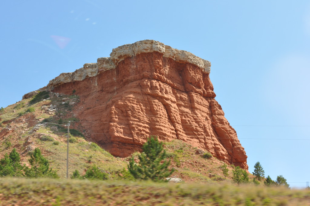
Crooks Tower, 2017_04_08
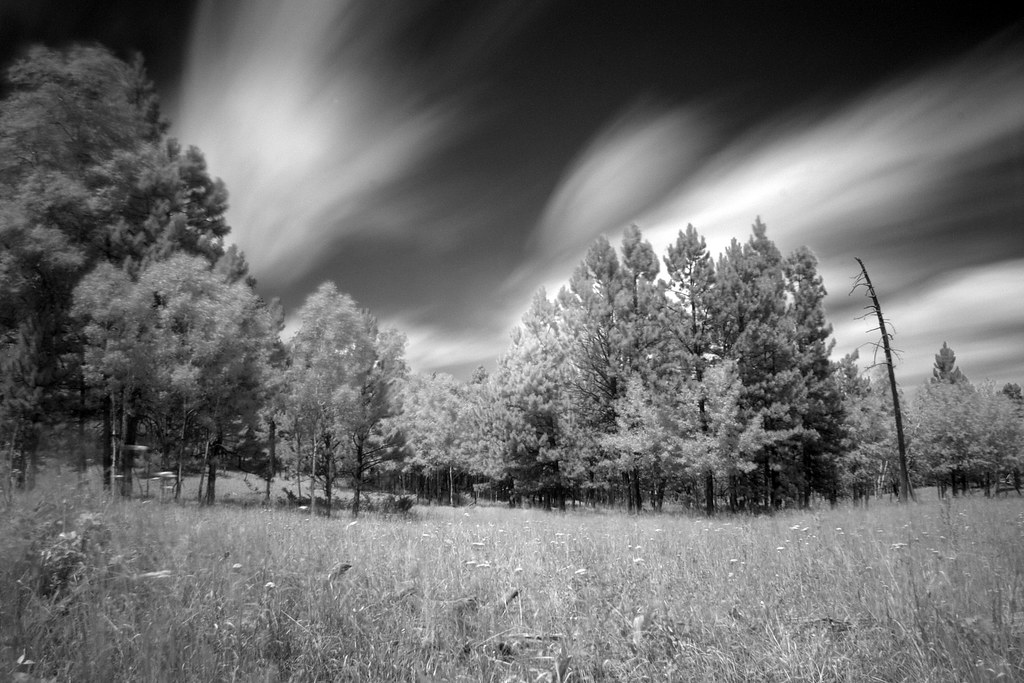
Black Hills in Infrared
Layers and layers of clouds
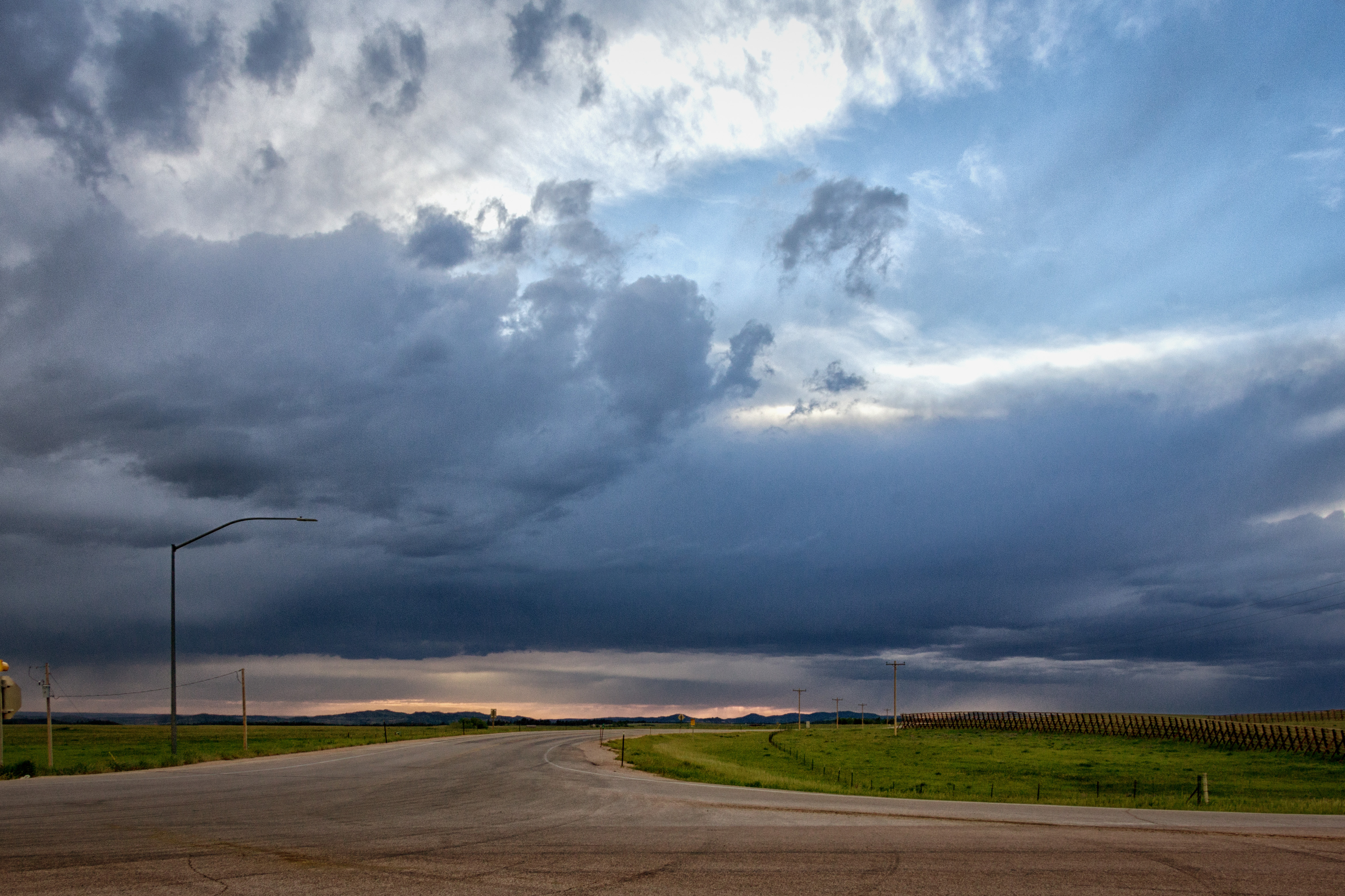
Thunderstorm in the Black Hills
2009-08-26_13-20-48.jpg
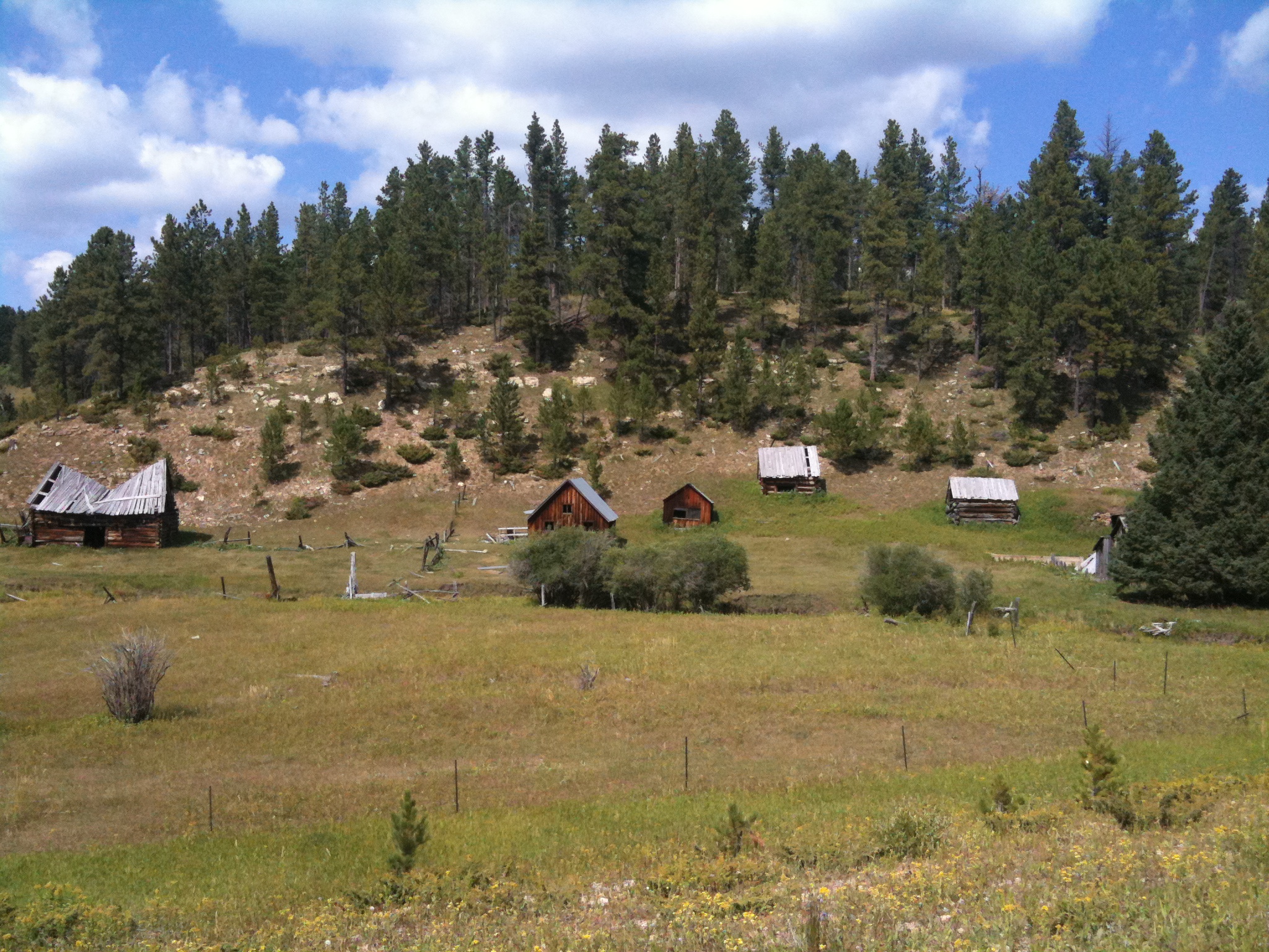
Abandoned Houses
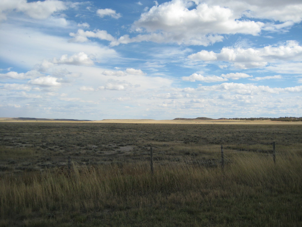
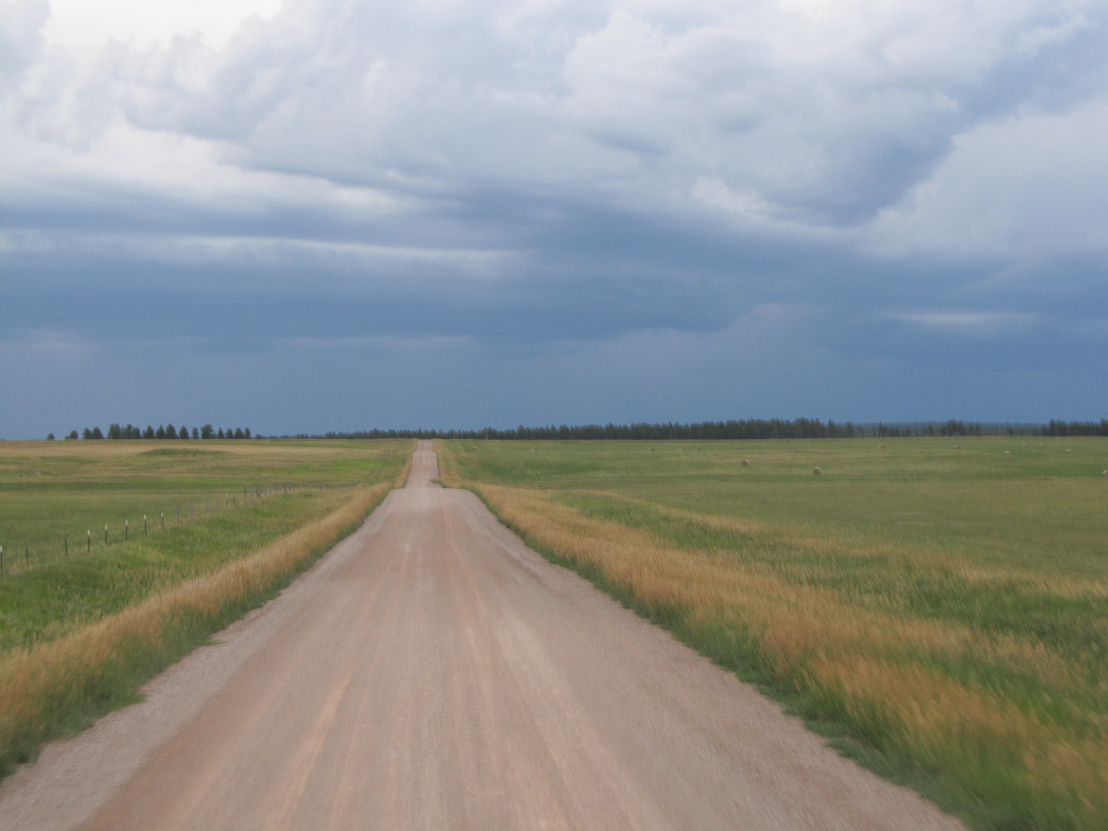
Wyoming Plain

Mnt Rushmore to Seattle_Custer's Expedition_296

_90A9408.jpg
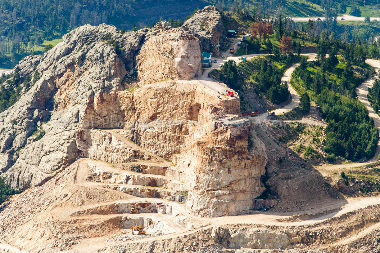
Crazy Horse Memorial
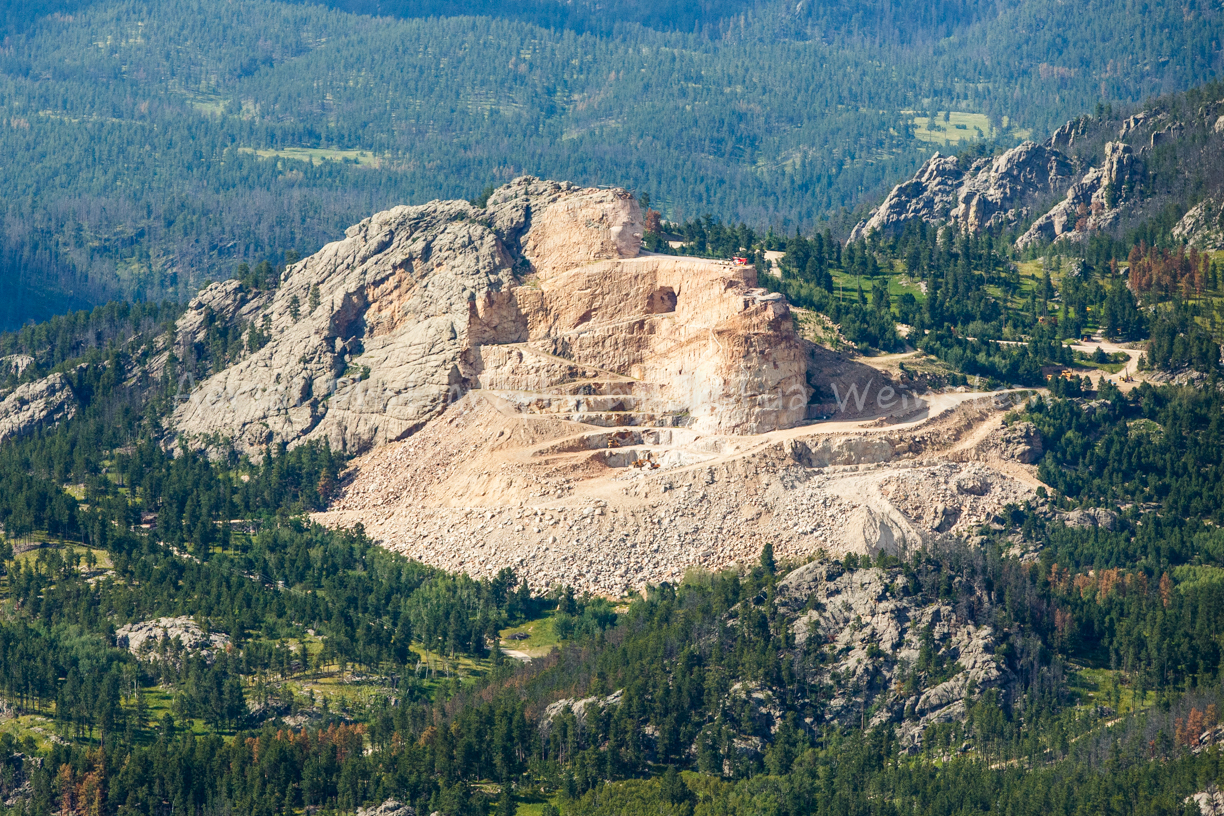
Crazy Horse Memorial

Near Sundance #wyoming #wy125 #foreverwest #home #2015 #myheartisforeverwest #vacation2015 #nature #travel #usa #beautiful #stunning #sunset #prairie ????????
Topographic Map of 94 Buckhorn Trail, Newcastle, WY, USA
Find elevation by address:

Places near 94 Buckhorn Trail, Newcastle, WY, USA:
59 Wilderness Trail
Big Plum Creek Road
Newcastle
39 Green House Rd, Newcastle, WY, USA
225 Sundown Trail
17 Nefsy Ave, Osage, WY, USA
Osage
83 N 21st St
Sundance
Beulah
Weston County
Bear Lodge Mountain
208 Bear Claw Trail
Aladdin
1520 Pine St
Ash St, Upton, WY, USA
Upton
29 Mule Creek Dr
29 Mule Creek Dr
Crook County
Recent Searches:
- Elevation of Corso Fratelli Cairoli, 35, Macerata MC, Italy
- Elevation of Tallevast Rd, Sarasota, FL, USA
- Elevation of 4th St E, Sonoma, CA, USA
- Elevation of Black Hollow Rd, Pennsdale, PA, USA
- Elevation of Oakland Ave, Williamsport, PA, USA
- Elevation of Pedrógão Grande, Portugal
- Elevation of Klee Dr, Martinsburg, WV, USA
- Elevation of Via Roma, Pieranica CR, Italy
- Elevation of Tavkvetili Mountain, Georgia
- Elevation of Hartfords Bluff Cir, Mt Pleasant, SC, USA