Elevation map of Weston County, WY, USA
Location: United States > Wyoming >
Longitude: -104.47233
Latitude: 43.9270224
Elevation: 1231m / 4039feet
Barometric Pressure: 87KPa
Elevation Map:
Satellite Map:
Related Photos:

Aerial View of Wyoming Near New Castle

2011-WYOMING11-Sprinkled clouds again

First storm of the day near Osage, Wyoming

2011-WYOMING10-Sprinkled clouds

2011-WYOMING09-Osage Oilfield

2011-WYOMING08-Wyoming sunset

BNSF 6953 West
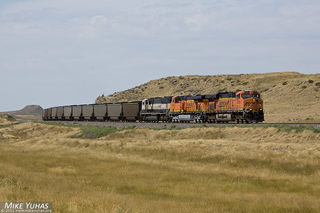
Black Hills Sub
Topographic Map of Weston County, WY, USA
Find elevation by address:

Places in Weston County, WY, USA:
Places near Weston County, WY, USA:
Osage
17 Nefsy Ave, Osage, WY, USA
225 Sundown Trail
Big Plum Creek Road
Ash St, Upton, WY, USA
Upton
1520 Pine St
59 Wilderness Trail
Newcastle
39 Green House Rd, Newcastle, WY, USA
94 Buckhorn Trail
208 Bear Claw Trail
29 Mule Creek Dr
29 Mule Creek Dr
Sundance
83 N 21st St
Pine Haven
24 Waters Dr, Pine Haven, WY, USA
Bear Lodge Mountain
Moorcroft
Recent Searches:
- Elevation of Corso Fratelli Cairoli, 35, Macerata MC, Italy
- Elevation of Tallevast Rd, Sarasota, FL, USA
- Elevation of 4th St E, Sonoma, CA, USA
- Elevation of Black Hollow Rd, Pennsdale, PA, USA
- Elevation of Oakland Ave, Williamsport, PA, USA
- Elevation of Pedrógão Grande, Portugal
- Elevation of Klee Dr, Martinsburg, WV, USA
- Elevation of Via Roma, Pieranica CR, Italy
- Elevation of Tavkvetili Mountain, Georgia
- Elevation of Hartfords Bluff Cir, Mt Pleasant, SC, USA