Elevation of Ash St, Upton, WY, USA
Location: United States > Wyoming > Weston County >
Longitude: -104.62759
Latitude: 44.0998262
Elevation: 1291m / 4236feet
Barometric Pressure: 87KPa
Elevation Map:
Satellite Map:
Related Photos:

Google Street View - Pan-American Trek - The Sage
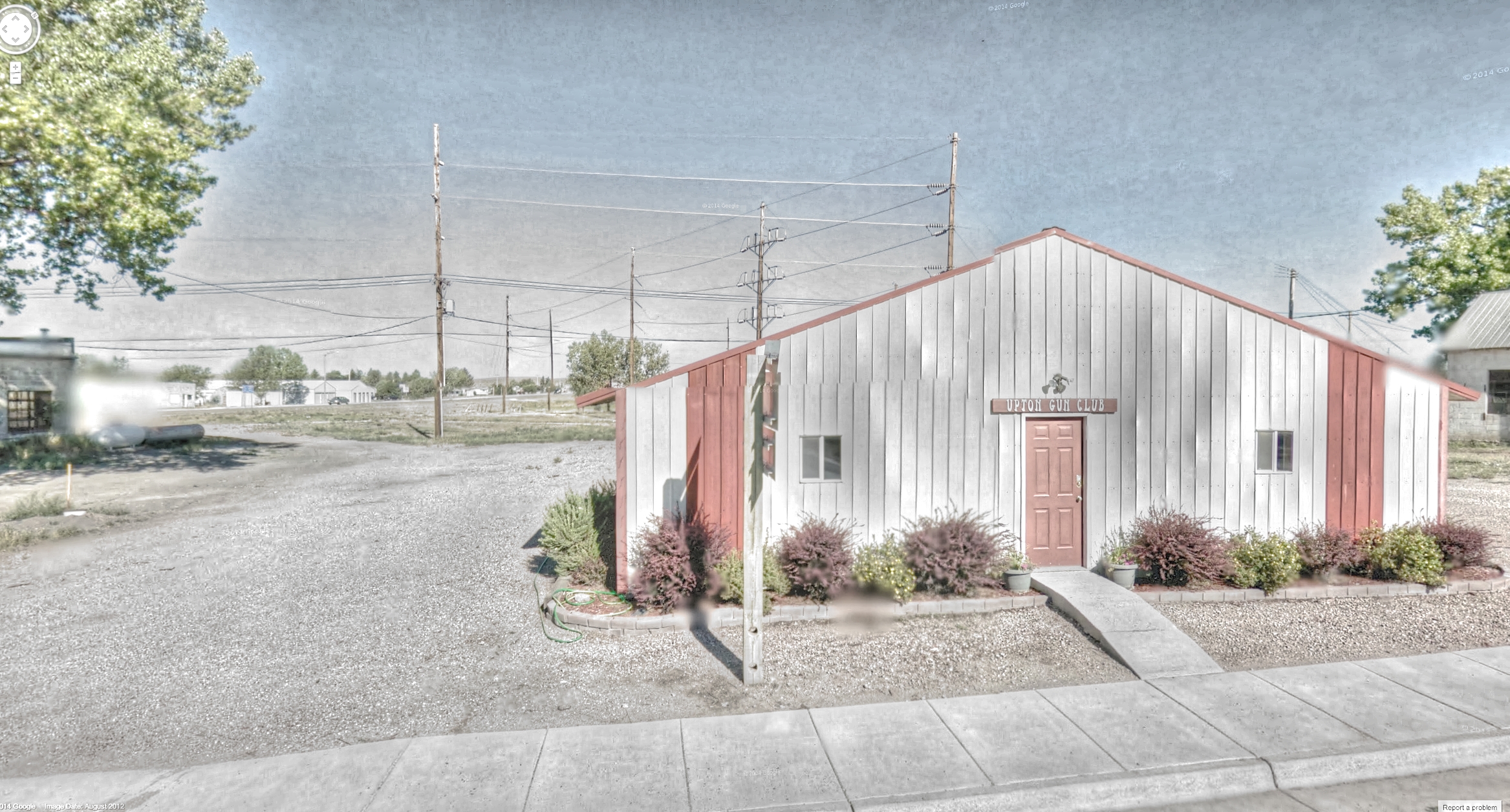
Google Street View - Pan-American Trek - Upton Gun Club
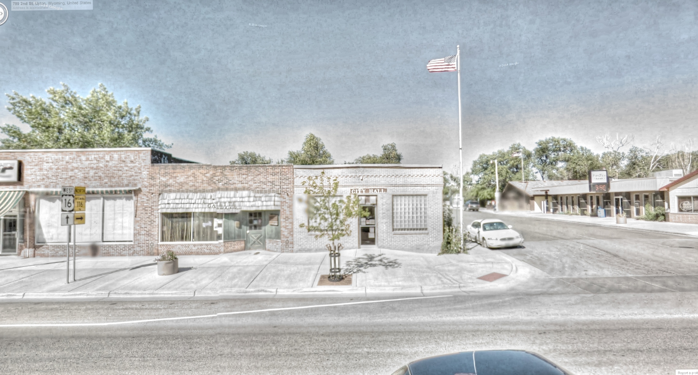
Google Street View - Pan-American Trek - Upton City Hall
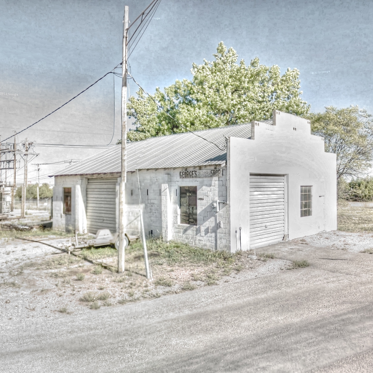
Google Street View - Pan-American Trek - George's Shop
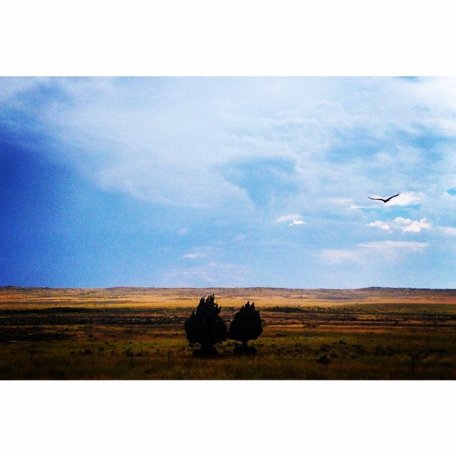
Wyoming continues to please the eyes. Bird of prey in flight. #mothernature #cloudporn #greatamericantowhere @natgeo

2011-WYOMING11-Sprinkled clouds again
Black Hills Macs

Grasshopper sparrow

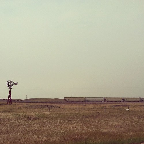
2011-WYOMING12-Goodbye prairie

2011-WYOMING10-Sprinkled clouds
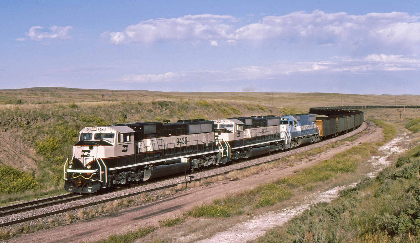
Upton, WY
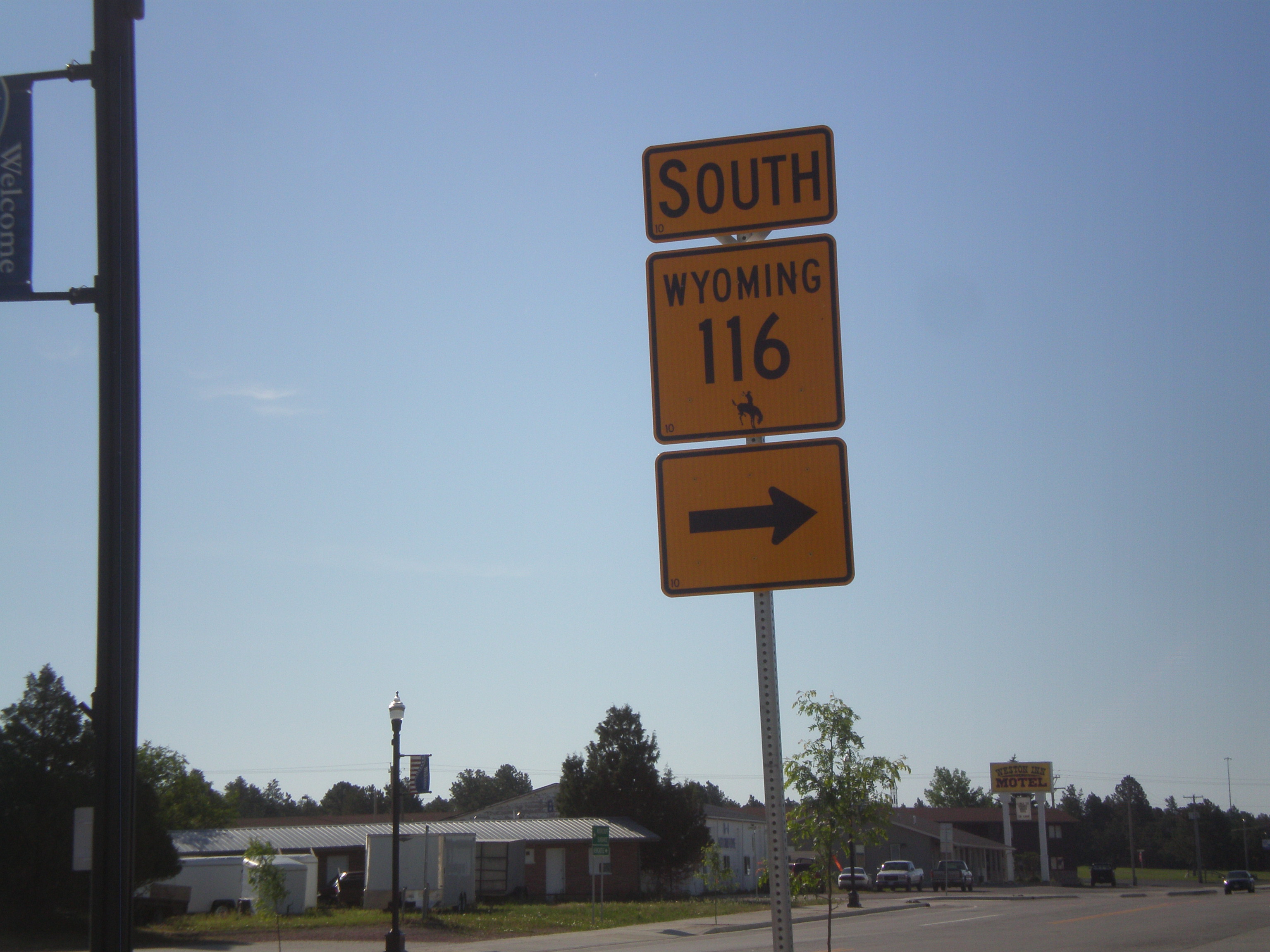
US-16 West/WY-116 South at WY-116 South
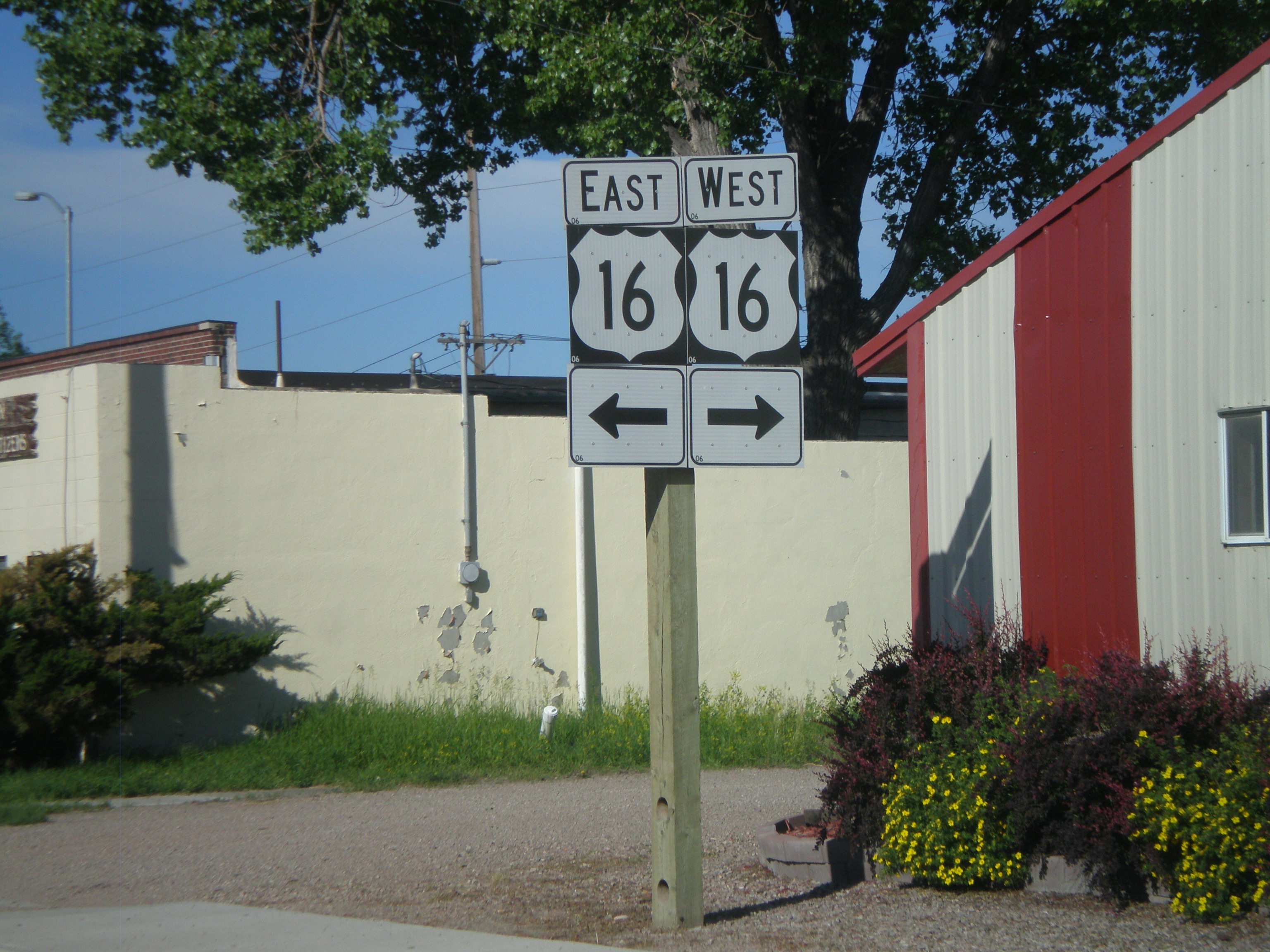
WY-116 South at US-16
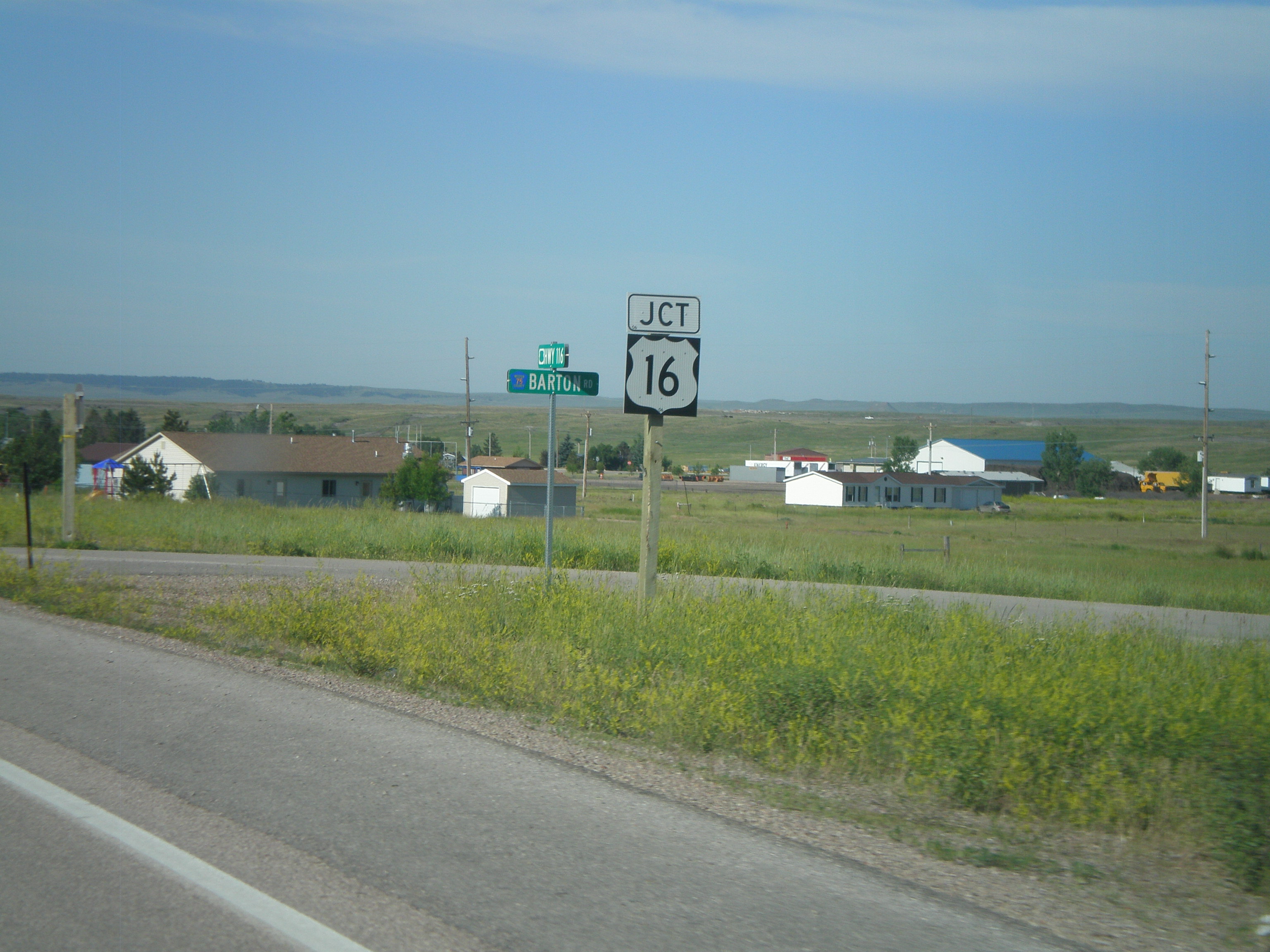
WY-116 South Approaching US-16
Topographic Map of Ash St, Upton, WY, USA
Find elevation by address:

Places near Ash St, Upton, WY, USA:
Upton
1520 Pine St
225 Sundown Trail
Weston County
17 Nefsy Ave, Osage, WY, USA
Osage
29 Mule Creek Dr
29 Mule Creek Dr
208 Bear Claw Trail
Pine Haven
24 Waters Dr, Pine Haven, WY, USA
Moorcroft
S Yellowstone Ave, Moorcroft, WY, USA
Big Plum Creek Road
Sundance
Crook County
83 N 21st St
Bear Lodge Mountain
Carlile
59 Wilderness Trail
Recent Searches:
- Elevation of Corso Fratelli Cairoli, 35, Macerata MC, Italy
- Elevation of Tallevast Rd, Sarasota, FL, USA
- Elevation of 4th St E, Sonoma, CA, USA
- Elevation of Black Hollow Rd, Pennsdale, PA, USA
- Elevation of Oakland Ave, Williamsport, PA, USA
- Elevation of Pedrógão Grande, Portugal
- Elevation of Klee Dr, Martinsburg, WV, USA
- Elevation of Via Roma, Pieranica CR, Italy
- Elevation of Tavkvetili Mountain, Georgia
- Elevation of Hartfords Bluff Cir, Mt Pleasant, SC, USA