Elevation of Sundown Trail, Upton, WY, USA
Location: United States > Wyoming > Weston County > Upton >
Longitude: -104.45482
Latitude: 44.1003406
Elevation: 1390m / 4560feet
Barometric Pressure: 86KPa
Elevation Map:
Satellite Map:
Related Photos:
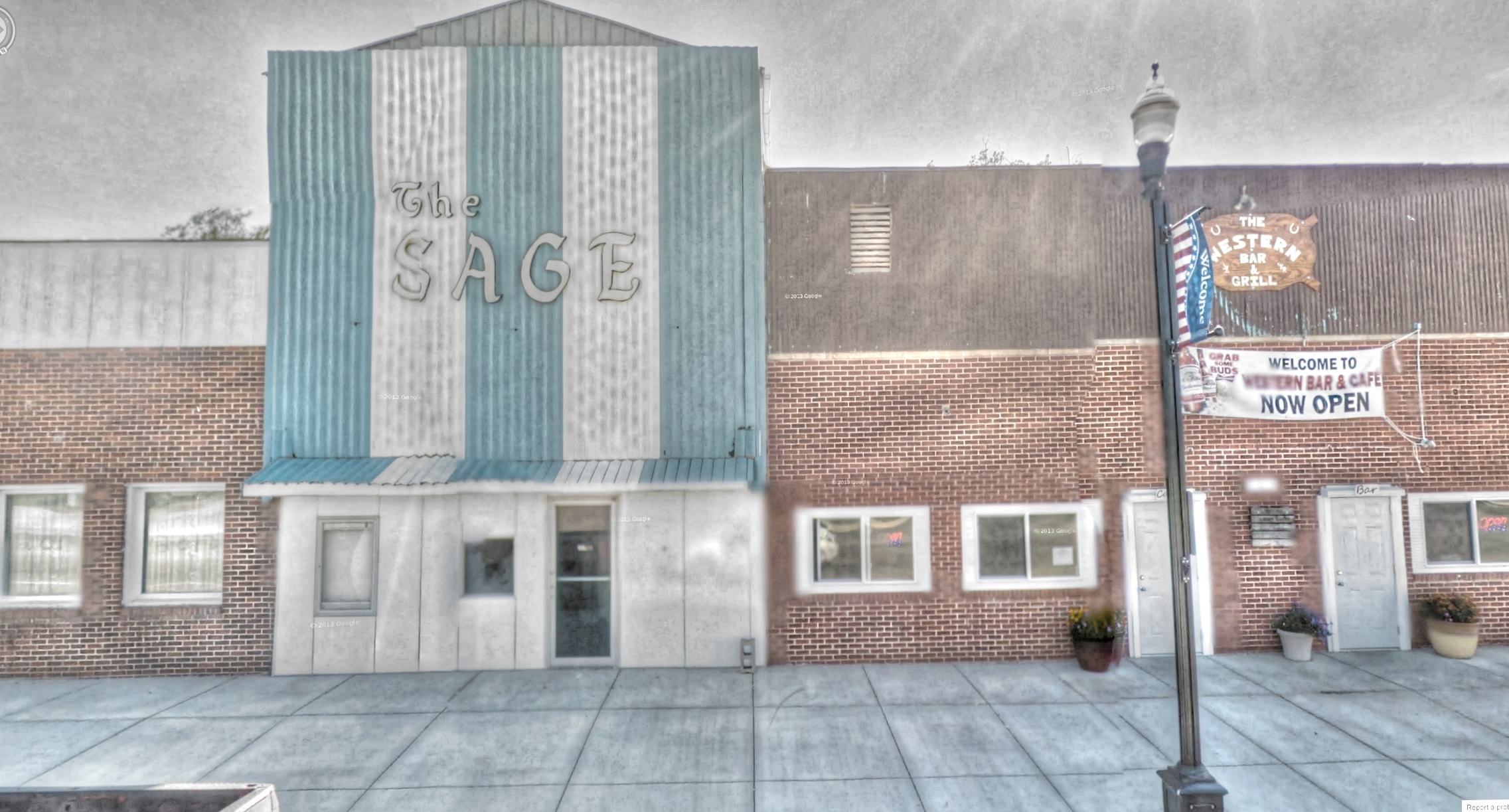
Google Street View - Pan-American Trek - The Sage
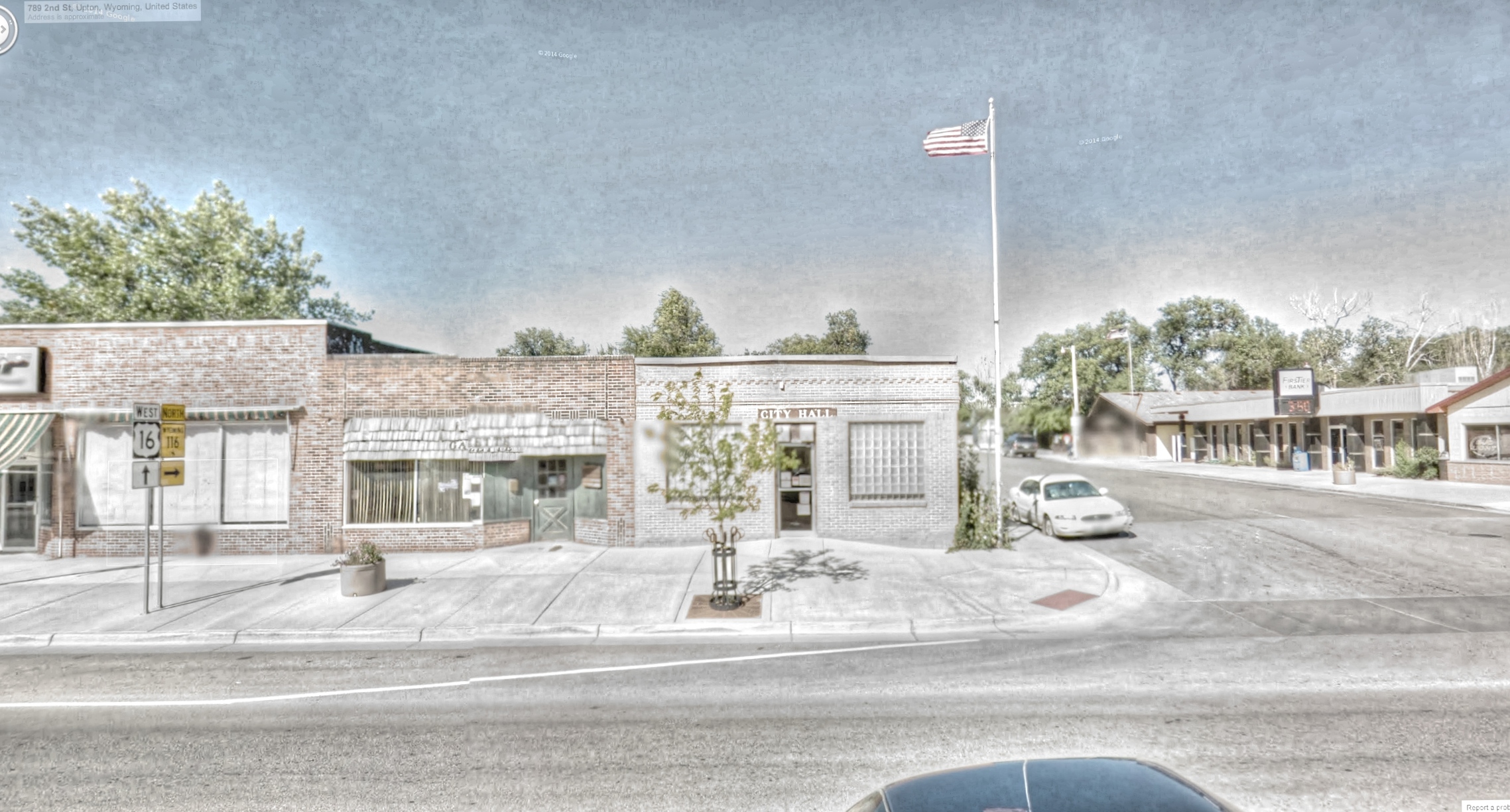
Google Street View - Pan-American Trek - Upton City Hall
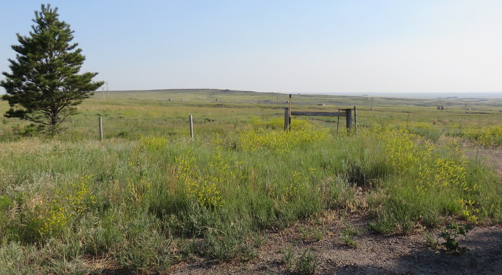
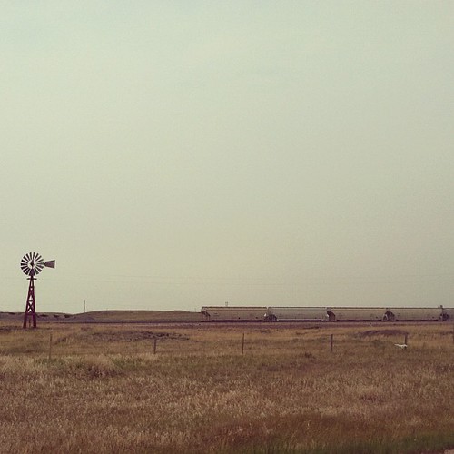
Northeastern Wyoming Landscape (Weston County, Wyoming)
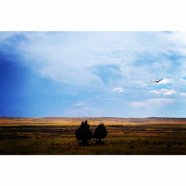
Wyoming continues to please the eyes. Bird of prey in flight. #mothernature #cloudporn #greatamericantowhere @natgeo
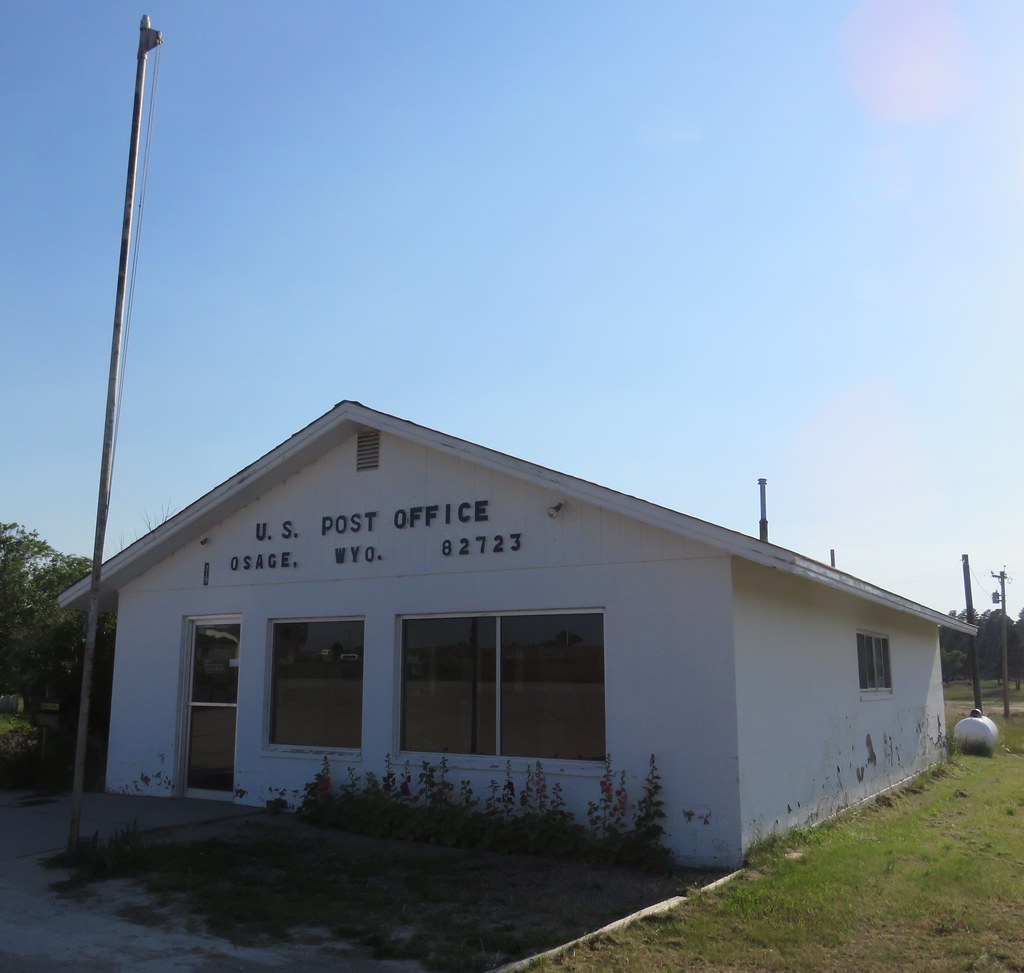
Post Office 82723 (Osage, Wyoming)
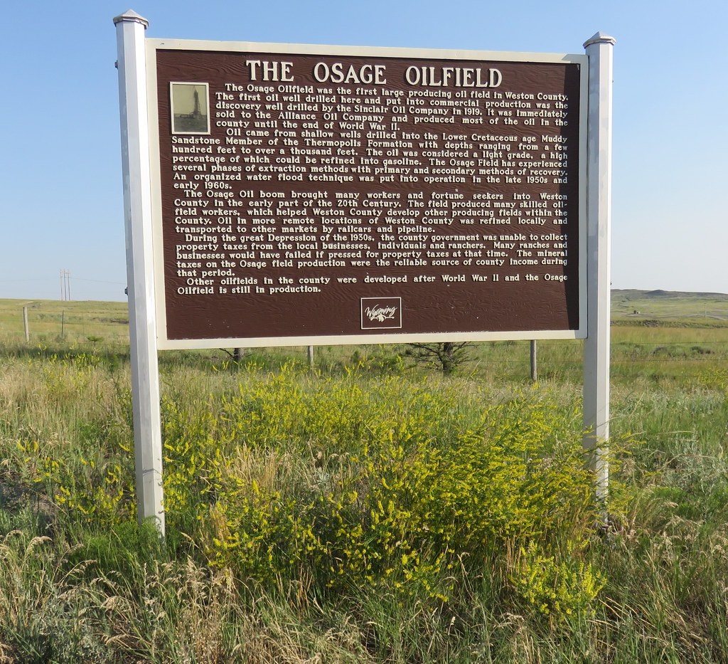
The Osage Oilfield Marker (Osage, Wyoming)
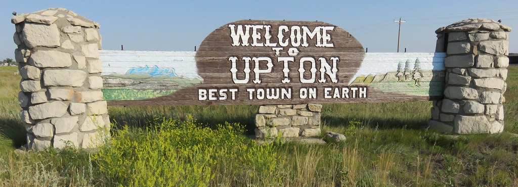
Welcome to Upton Sign (Upton, Wyoming)
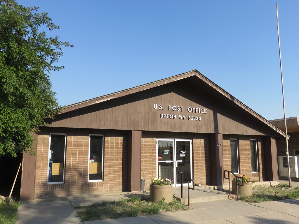
Post Office 82730 (Upton, Wyoming)
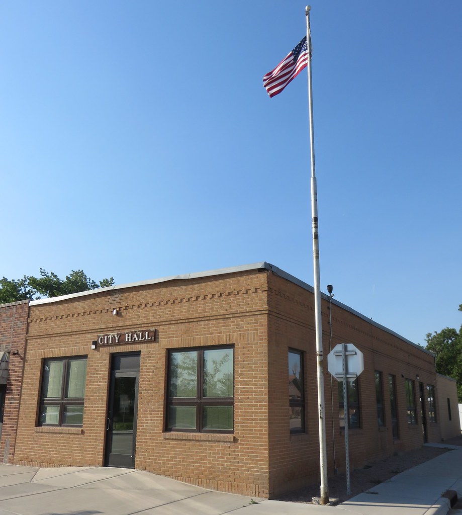
Upton, Wyoming City Hall

First storm of the day near Osage, Wyoming

Light falls over Inyan Kara, Bear Lodge Mountains
Upton, WY
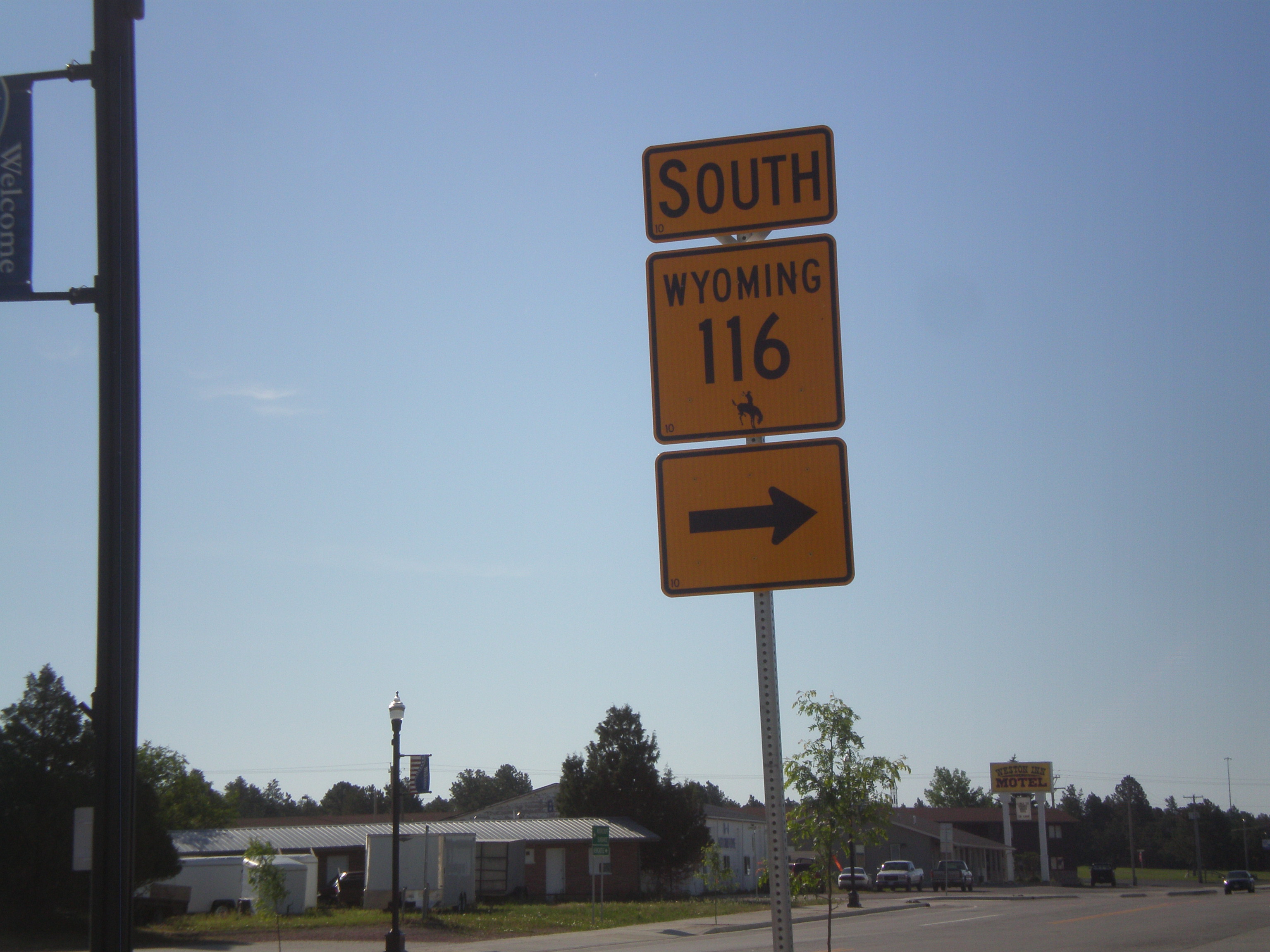
US-16 West/WY-116 South at WY-116 South
Topographic Map of Sundown Trail, Upton, WY, USA
Find elevation by address:

Places near Sundown Trail, Upton, WY, USA:
17 Nefsy Ave, Osage, WY, USA
Osage
1520 Pine St
Ash St, Upton, WY, USA
Upton
Weston County
Big Plum Creek Road
208 Bear Claw Trail
59 Wilderness Trail
Sundance
83 N 21st St
94 Buckhorn Trail
Newcastle
29 Mule Creek Dr
29 Mule Creek Dr
Bear Lodge Mountain
39 Green House Rd, Newcastle, WY, USA
Pine Haven
24 Waters Dr, Pine Haven, WY, USA
Crook County
Recent Searches:
- Elevation of Corso Fratelli Cairoli, 35, Macerata MC, Italy
- Elevation of Tallevast Rd, Sarasota, FL, USA
- Elevation of 4th St E, Sonoma, CA, USA
- Elevation of Black Hollow Rd, Pennsdale, PA, USA
- Elevation of Oakland Ave, Williamsport, PA, USA
- Elevation of Pedrógão Grande, Portugal
- Elevation of Klee Dr, Martinsburg, WV, USA
- Elevation of Via Roma, Pieranica CR, Italy
- Elevation of Tavkvetili Mountain, Georgia
- Elevation of Hartfords Bluff Cir, Mt Pleasant, SC, USA