Elevation of 85 Blueberry Ln, Orr's Island, ME, USA

Location: United States > Maine > Cumberland County > Harpswell >

Longitude: -69.966911

Latitude: 43.7630837

Elevation: 32m / 105feet

Barometric Pressure: 101KPa

Elevation Map:

elevation map of 85 Blueberry Ln, Orr's Island, ME, USA
Satellite Map:

Satellite map of 85 Blueberry Ln, Orr's Island, ME, USA

Related Photos:

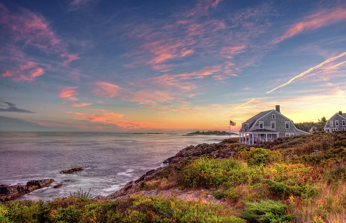
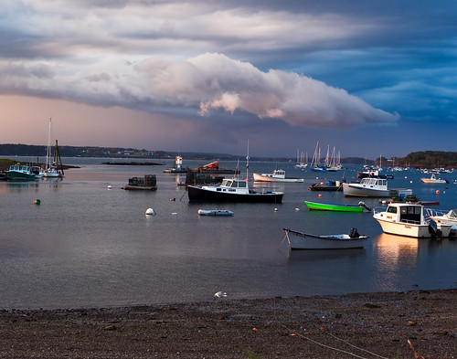
ocean sunset sky house green water clouds island waves flag maine windy hdr baileyisland nikkor18200mmvr harspwell nikond7100 pwpartlycloudy nikond7100hdr
Bailey Island, Maine
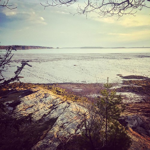
square squareformat amaro iphoneography instagramapp uploaded:by=instagram
Where are you sleeping tonight? Cause this is the view from our tent.
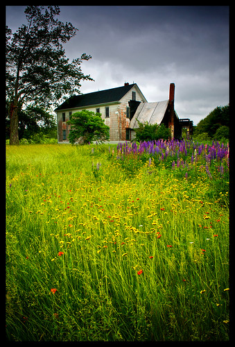
old flowers sky house storm green rot texture abandoned rotting grass rain yellow farmhouse dark grey countryside cloudy farm country lawn maine fuchsia stormy brunswick rainy weathered thunderstorm freeport textured grungy rotted tstorm
Abandoned in Maine
morning sunrise maine freeport mainecoast lobsterboats centralmaine maineharbor
First Light
ocean sea usa island coast us maine newengland northamerica coastline eastcoast tpc cascobay chebeague eastcoat chebeagueisland easternseaboard coastalliving darylann darylannanderson greatchebeague tpcu14 tpcu14l4
Sea Dog Panorama
beach island coast maine east explore coastal shore eastern northeast 2009 chebeague seaboard
Leapin' Lizzie
maine lowflyingclouds sewallbeach batesmorsemountain phippsburgh treehugger007
Caution - Low Flying Clouds
maine sewallbeach seguinislandlight batesmorsemountain phippsburgh treehugger007
Seguin Island Light
ocean summer seascape reflection me water clouds canon landscape islands coast boat twilight scenery view maine newengland rocky shore polarizer dinghy baileyisland harpswell orrsisland rebelt2i willsgut baileyislandmotel
Summer Nights on Bailey Island
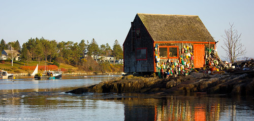
ocean morning travel vacation seascape reflection tourism me water landscape dawn coast fishing community scenery village maine scenic newengland places landmark tourist historic coastal lobster todo iconic lobsterboat authentic attraction 2012 baileyisland harpswell lobstering mackerelcove benjaminwilliamson
Lobster Shack
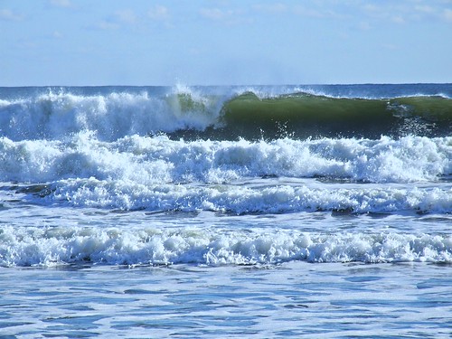
maine novembersurf sewallbeach batesmorsemountain phippsburgh treehugger007
Surfs Up
interestingness maine explore walkwithme sewallbeach batesmorsemountain phippsburgh treehugger007
Walk with Me
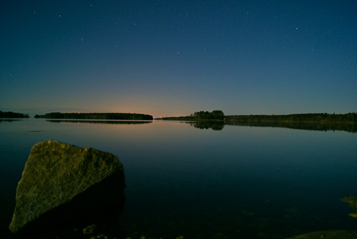
longexposure trees sky water rock stars island maine brunswick middlebay simpsonspoint 100pictures supermoon sonya230 13dark
Super Moonshine: #13
maine thesentinel sewallbeach batesmorsemountain phippsburgh treehugger007
The Sentinel
square squareformat lark iphoneography instagramapp uploaded:by=instagram
View towards Cristina Bridge from Harpswell.
maine sewallbeach batesmorsemountain phippsburgh treehugger007 theywentthatway{0}
they went that way :-{0}>
flickrandroidapp:filter=none
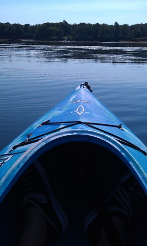
Early morning view from the kayak
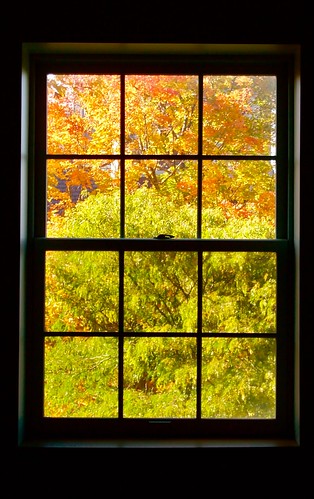
window nature panes bowdoin
Contrasting Architects
ocean travel sea vacation seaweed me fisherman dock maine newengland rocky landing granite barnacles inlet jagged coastline yarmouth seashore hdr tides placid saltwater dingy eastcoast coldwater boatramp lobsterman cousinsisland onthecoast sleepytown southernmaine sunrisecolors littlejohnisland frigidmorning protectedcove rodeonexisphotography
Littlejohn Island Sunrise
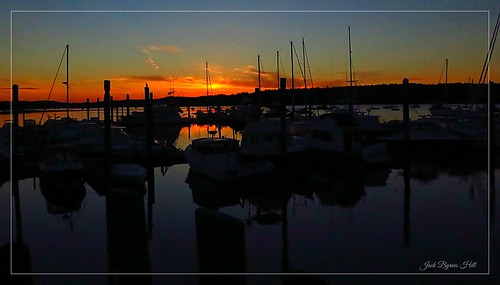
ocean canon maine landsend mainecoast baileyisland rockycoast g16 coastofmaine jackbyrneshill canong16
Rocky Coast of Maine
statepark panorama castle coast fort pano maine panoramic fortpopham pophambeach phippsburgme
Fort Popham, Phippsburg, Maine
Overlooking the Atlantic Ocean (phone HDR shot)
reflection restaurant maine explore hdr lobsterboat baileyisland buoyant 3exp cooksrestaurant impressedbeauty
Fresh Lobster
Sprague River Mouth
ocean color beach landscape bay nikon maine wolfesneckwoodsstatepark nikond810 140240mmf28
Low Tide - Wolfe's Neck Woods State Park
sunset reflection me nikon kayak maine identification judgement consciousness gurdjieff anseladams 50mm18d newmeadowsriver d700
in search of the miraculous DSC_0206_2356
ocean park trees sea cloud reflection neck island coast woods shadows state maine evergreen shore geology wolfes
Cloud Shadows
longexposure sunset red seascape landscape bay coast pier wooden sad seasons fort maine calm atkins popham limbo
Seasonal Limbo
lighthouse maine large kennebecriver arrowsic 0714 afsnikkor28300mmf3556gedvr athreehourcruise
Squirrel Point Light Station
square squareformat rise iphoneography instagramapp uploaded:by=instagram foursquare:venue=4bd4cea14e32d13ad6f5bf80
Mornin' cows
uploaded:by=flickstagram instagram:photo=181571324652923
Low resolution but beautiful sunset
square squareformat lomofi iphoneography instagramapp uploaded:by=instagram foursquare:venue=4ccd6df1294aef3bf7c985e2
Lunch by the marsh
sunset storm green clouds boat maine lobsterboat baileyisland cloudsstormssunsetssunrises garrisoncove
Storm over Garrison Cove
square squareformat sutro iphoneography instagramapp uploaded:by=instagram
Mountainous clouds
portland maine harborcruise
PortlandCruise-128
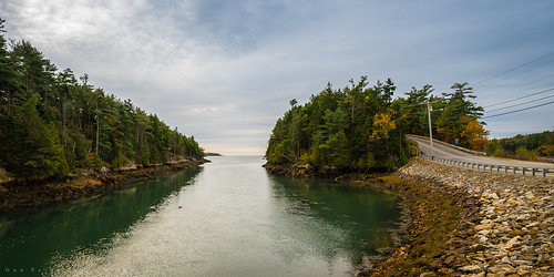
road usa island unitedstates maine harpswell orrsisland gunpointcove
Gun Point Cove - Maine
Cliff Island
bird field neck cow cookie farm oreo bovine galloways belted wolfes beltedgalloway wolfesneckfarm oreocookiecow
Wolfes Neck Farm-8379
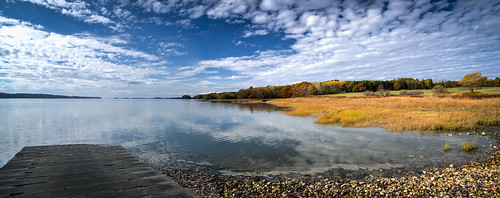
ocean autumn trees sea sky reflection fall water clouds landscape coast boat ramp rocks afternoon maine shoreline rocky brunswick landing foliage launch hdr whartonpoint whartonpointlanding
wharton point