Elevation of Harpswell, ME, USA
Location: United States > Maine > Cumberland County >
Longitude: -69.959834
Latitude: 43.7864342
Elevation: 29m / 95feet
Barometric Pressure: 101KPa
Elevation Map:
Satellite Map:
Related Photos:

Leapin' Lizzie
The Road to Oz
"Last Light" - Topsham, Maine, USA

Bailey Island, Maine
Summer Nights on Bailey Island

Schooner Wyoming
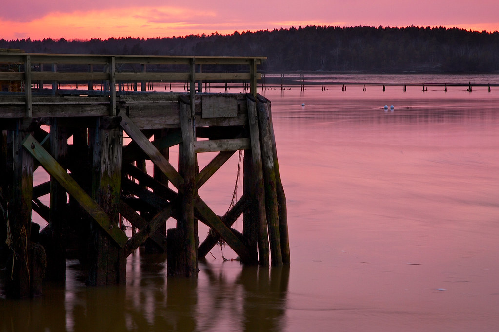
Abandoned in Maine

Lobster Shack

Loon Splashing

View of Casco Bay
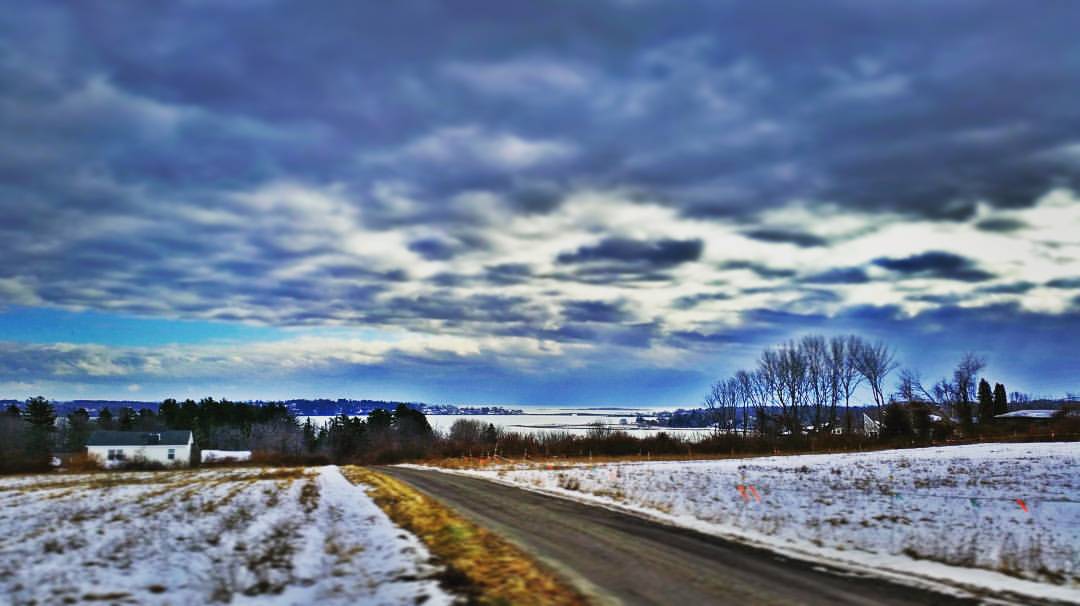
Caution - Low Flying Clouds
Seguin Island Light

Misty Field 2
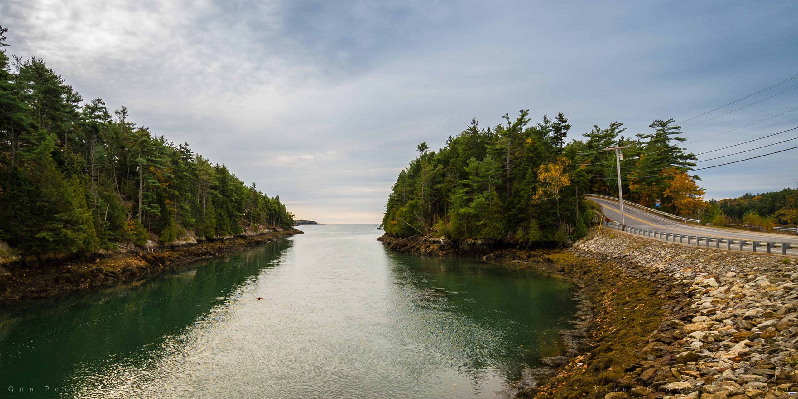
View towards Cristina Bridge from Harpswell.

River 8_28_09

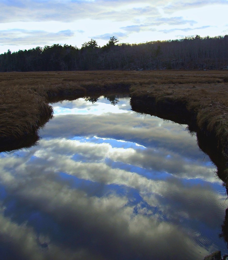
Misty Field 1
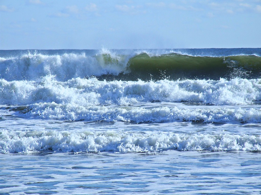
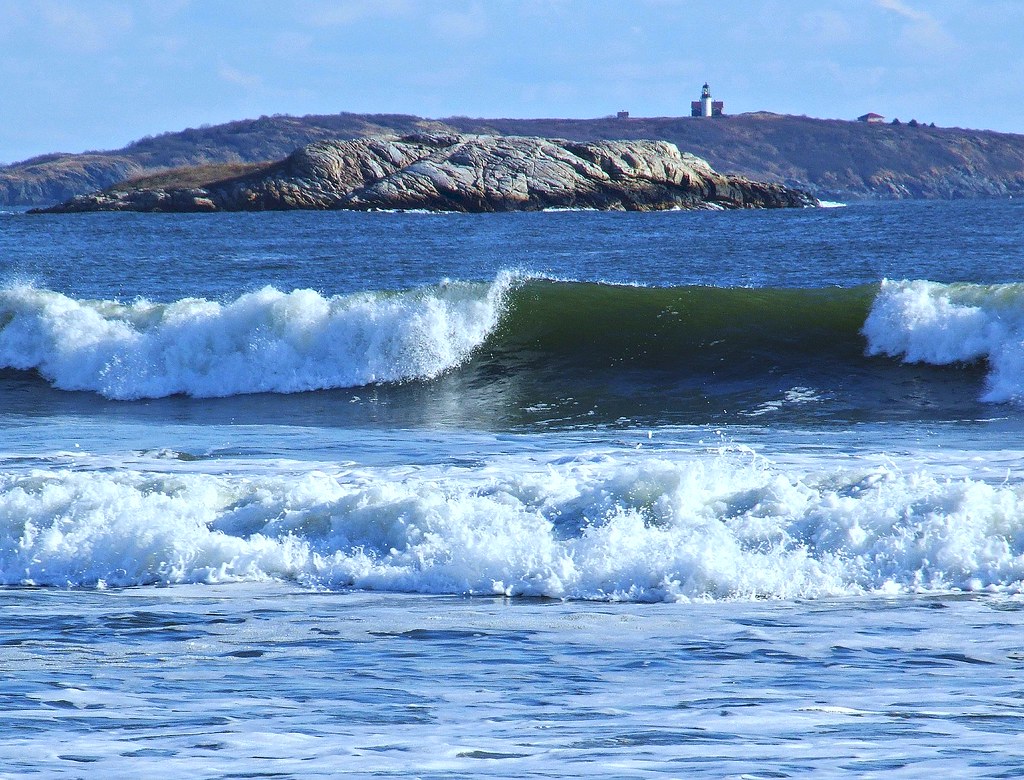
Surfs Up

Iron Flower
Walk with Me
Super Moonshine: #13

The Sentinel
Overlooking the Atlantic Ocean (phone HDR shot)
Cloud Shadows
Seasonal Limbo
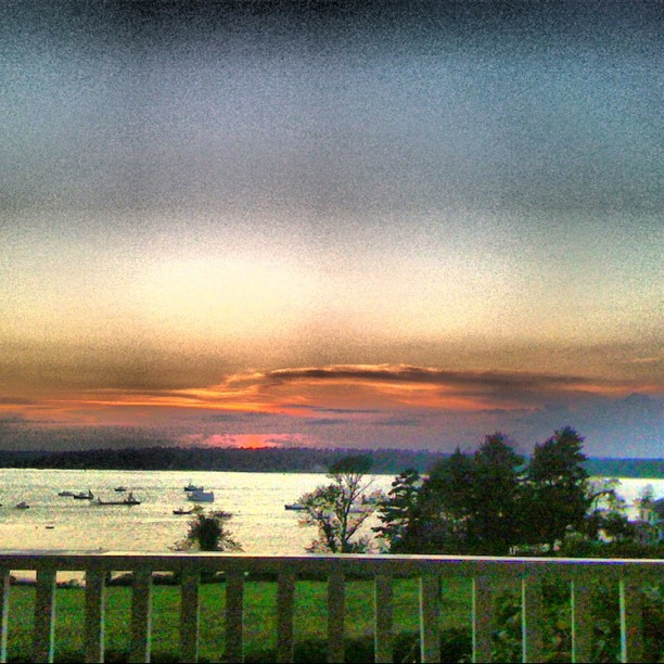
Low resolution but beautiful sunset
Gun Point Cove - Maine

2014-08-28 19.10.05_edited-1

Summer Fades Away
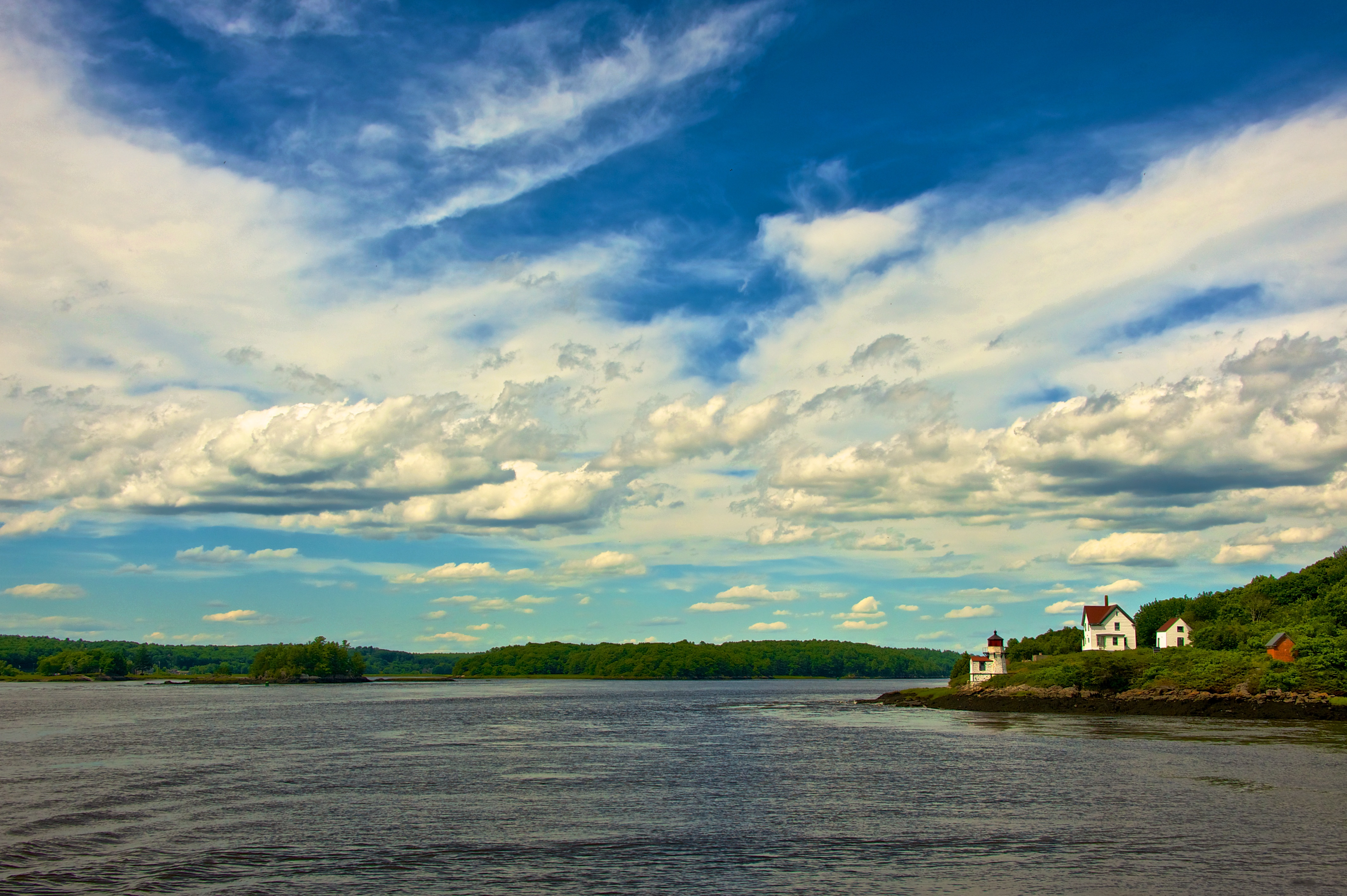
Squirrel Point Light Station

Mornin' cows
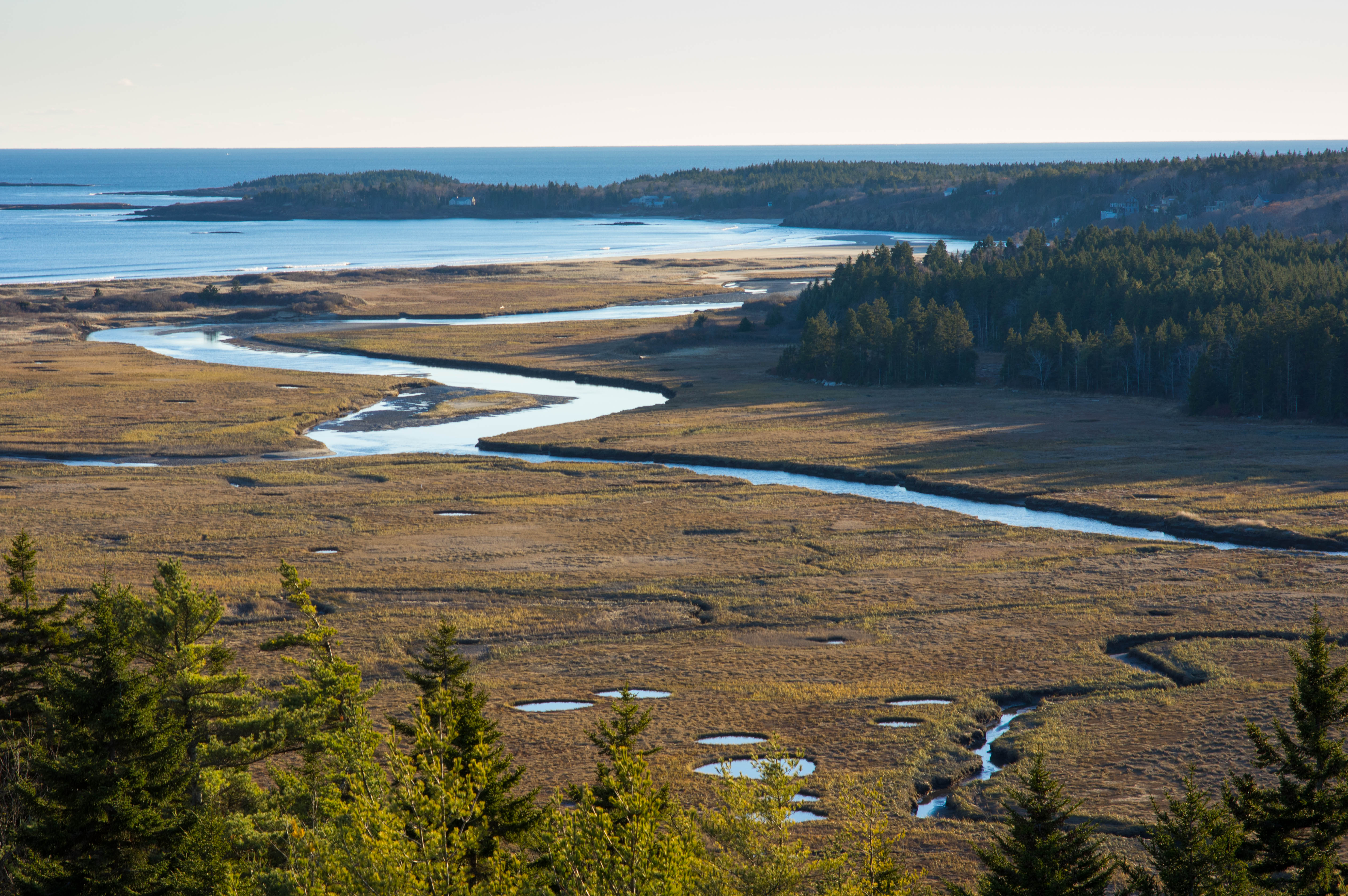
Sprague River Mouth

Lunch by the marsh

Mountainous clouds
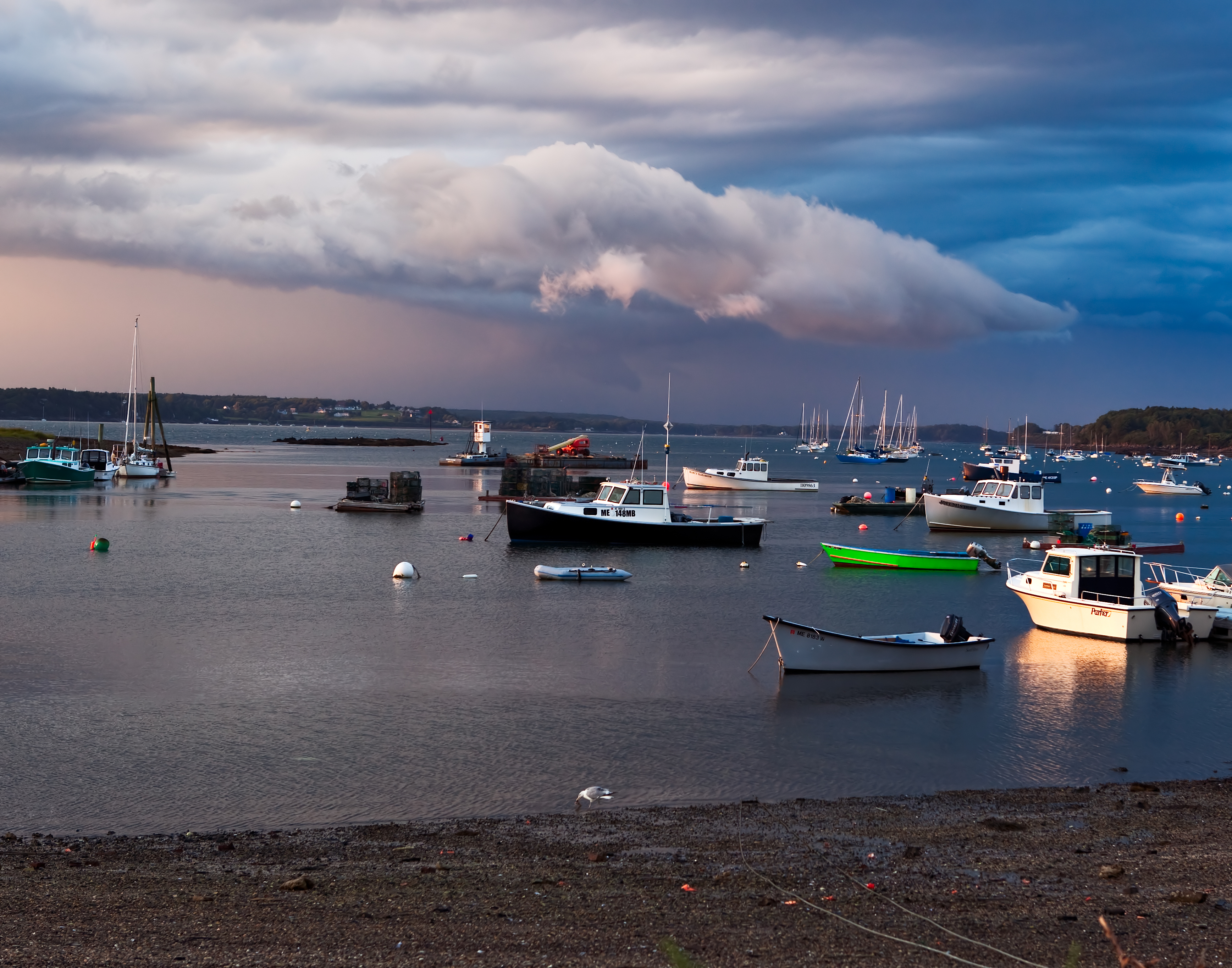
Storm over Garrison Cove
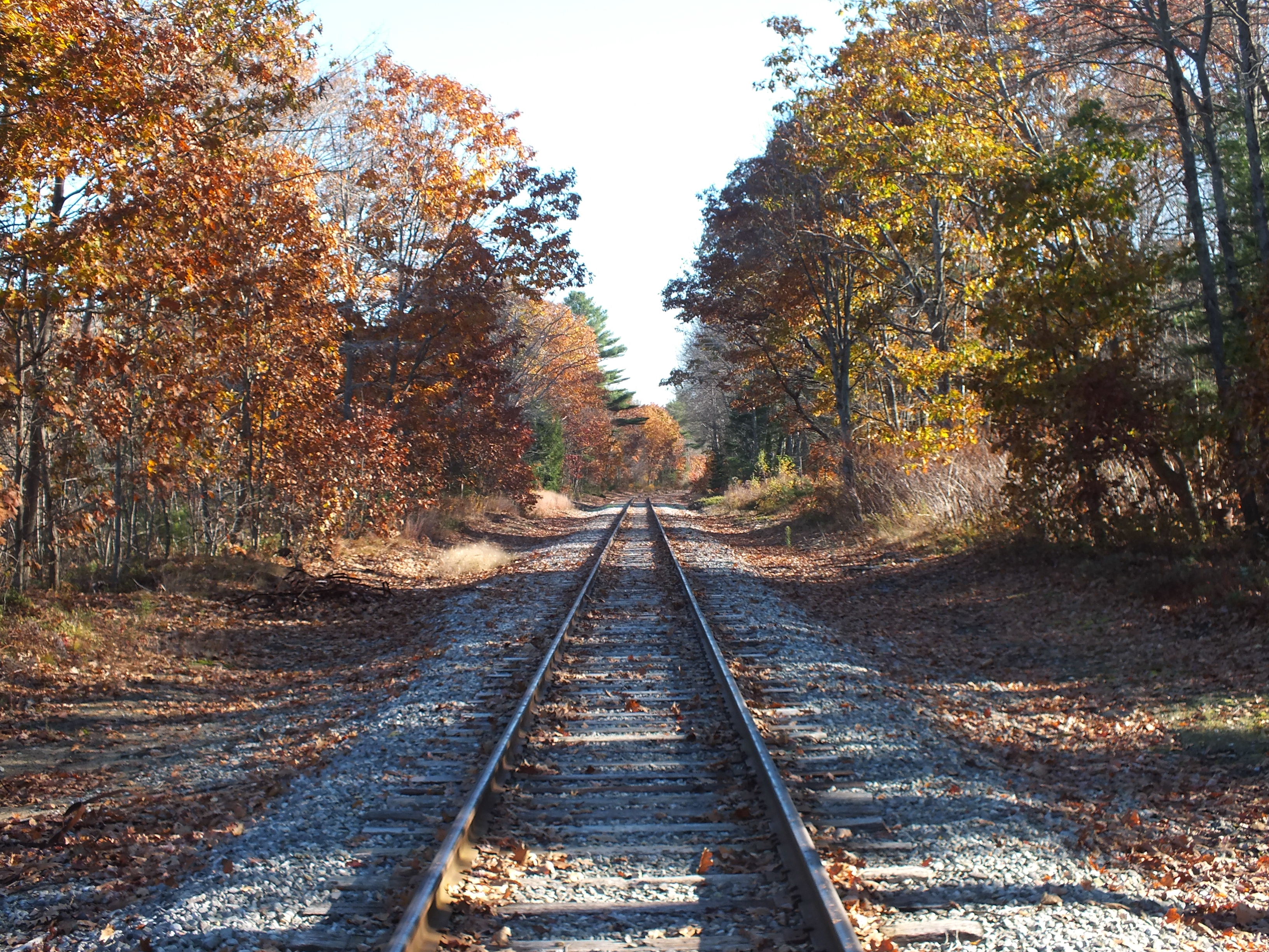
Quiet Railroad Tracks

PortlandCruise-128
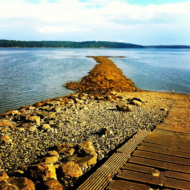
#simpsonspoint #Maine #seaweed
Topographic Map of Harpswell, ME, USA
Find elevation by address:

Places in Harpswell, ME, USA:
Bailey Island
Orr's Island
Ash Point Rd, Harpswell, ME, USA
Pinkham Point Rd, Harpswell, ME, USA
ME-, Harpswell, ME, USA
Cundy's Harbor Rd, Harpswell, ME, USA
85 Blueberry Ln, Orr's Island, ME, USA
Basin Cove Road
Basin Point
Catlin Shore Road
The Tote Road
Ellen Way
Mcpherson Lane
Stonewall Road
Sagamore Road
Potts Harbor
Watson Road
Hen Cove Road
Hen Cove Road
Pinkham Point
Places near Harpswell, ME, USA:
1288 Harpswell Islands Rd
The Tote Road
146 Reach Rd
367 Mountain Rd
Pinkham Point
Pinkham Point Rd, Harpswell, ME, USA
Hen Cove Road
Hen Cove Road
139 Tondreaus Point Rd
132 Harpswell Neck Rd
45 Taylor Rd
Watson Road
16 Holbrook St
Catlin Shore Road
Cundy's Harbor Rd, Harpswell, ME, USA
Ellen Way
Stonewall Road
Mcpherson Lane
24 Jasmine Ln
Sagamore Road
Recent Searches:
- Elevation of Corso Fratelli Cairoli, 35, Macerata MC, Italy
- Elevation of Tallevast Rd, Sarasota, FL, USA
- Elevation of 4th St E, Sonoma, CA, USA
- Elevation of Black Hollow Rd, Pennsdale, PA, USA
- Elevation of Oakland Ave, Williamsport, PA, USA
- Elevation of Pedrógão Grande, Portugal
- Elevation of Klee Dr, Martinsburg, WV, USA
- Elevation of Via Roma, Pieranica CR, Italy
- Elevation of Tavkvetili Mountain, Georgia
- Elevation of Hartfords Bluff Cir, Mt Pleasant, SC, USA