Elevation of Potts Harbor, Harpswell, ME, USA
Location: United States > Maine > Cumberland County > Harpswell >
Longitude: -70.032315
Latitude: 43.738857
Elevation: -10000m / -32808feet
Barometric Pressure: 295KPa
Elevation Map:
Satellite Map:
Related Photos:

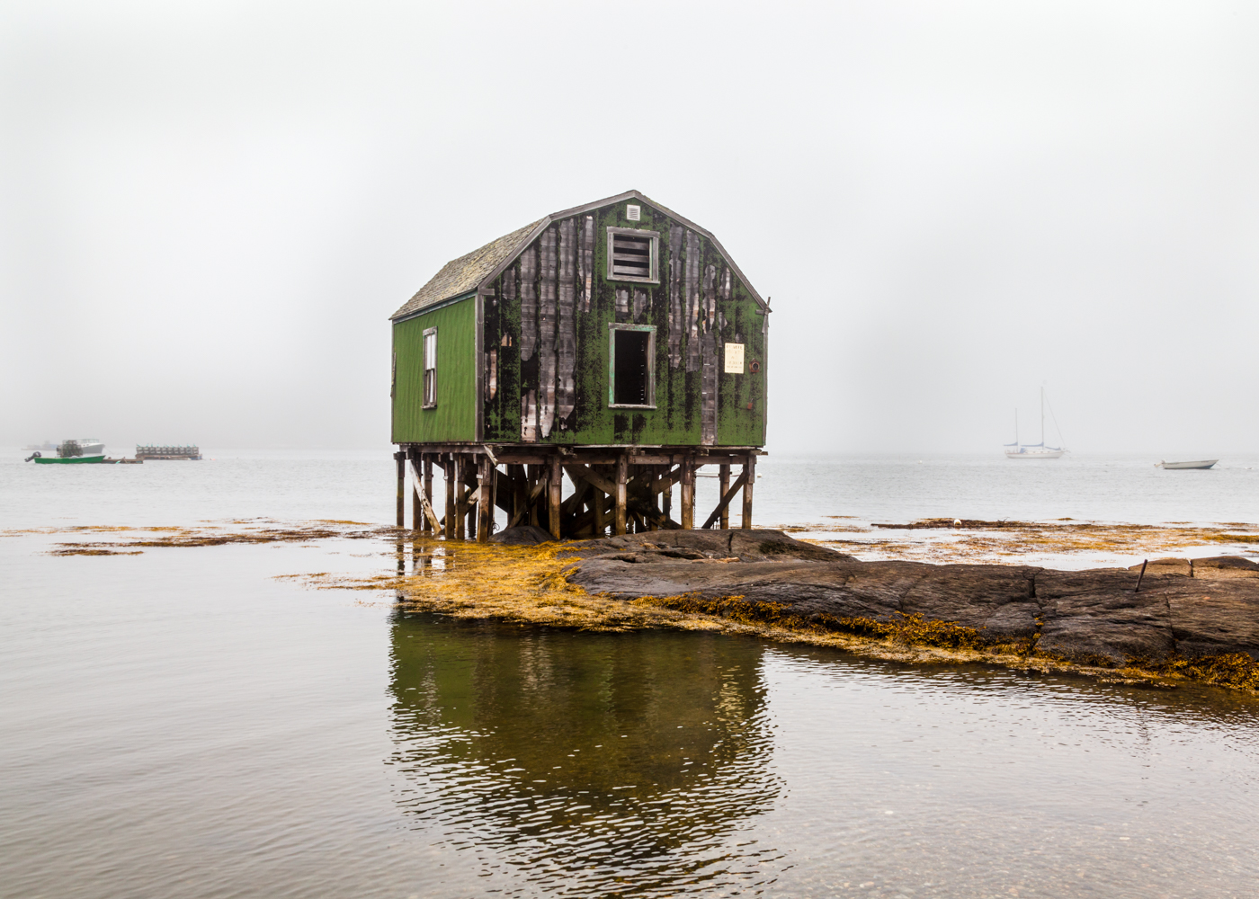
Foggy Day

Mackerel Cove Cottage
Super Moonshine: #13
Lookout Point

5th Maine Regiment Memorial Hall (1888) – rooflines

First Light

5th Maine Regiment Memorial Hall (1888) – last gas lamp

Leapin' Lizzie

Bailey Island, Maine

View towards Cristina Bridge from Harpswell.

Littlejohn Island Sunrise

Summer Nights on Bailey Island

Lobster Shack

Sunset over Portland, view from Peaks Island, ME.

View of Portland, ME from hill on Peaks Island.

Littlejohn Island Sunrise Tall
Rocky Coast of Maine

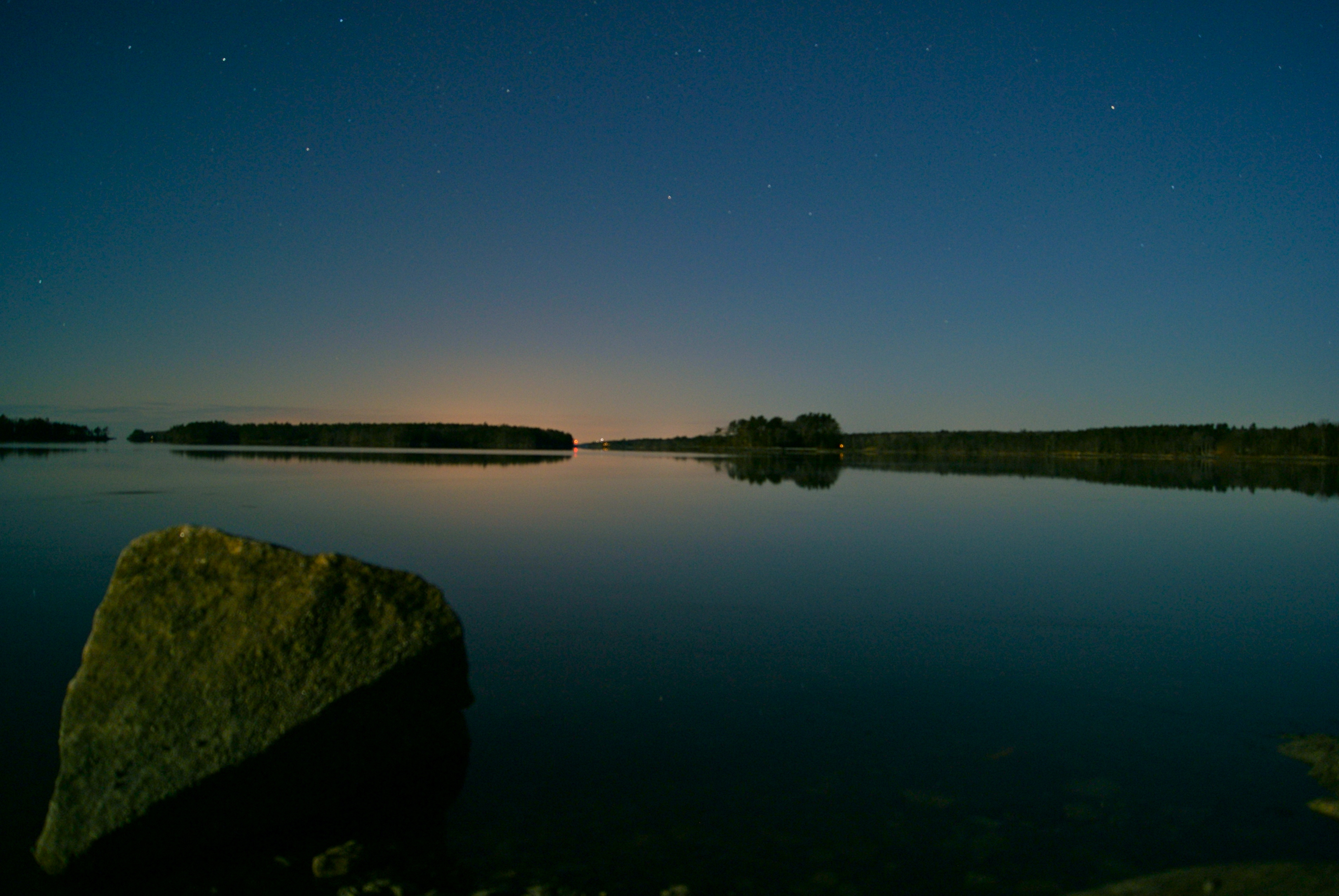
The Milky Way at Hermit Island Maine. The light in the center is Portland Maine and to the right is Biddeford Maine. A spectacular place to view the sky. #biddeford #chriscormier #headbeach #longexposure #milkyway #maine #night #galaxy #space #portland #b

Royal River, Yarmouth, Maine

The Sweetest Thing

Land's End Gift Shop

DSC_0376.jpg

Misty autumn pond
DSC_0287.jpg

DSC_0354.jpg

DSC_0373.jpg

DSC_0388.jpg
Fog In The Harbor
2014-08-28 19.10.05_edited-1

Low Tide - Wolfe's Neck Woods State Park
DSC_0285.jpg

Giant's Stairs 7

Wolfe's Neck Woods

Wolfe's Neck State Park

Allen's Seafood
Topographic Map of Potts Harbor, Harpswell, ME, USA
Find elevation by address:

Places near Potts Harbor, Harpswell, ME, USA:
Potts Harbor Lobster Inc.
51 Potts Point Rd
Ash Point Rd, Harpswell, ME, USA
196 Ash Point Rd
Basin Point
1939 Harpswell Neck Rd
93 Basin Point Rd
ME-, Harpswell, ME, USA
Basin Cove Road
179 Ash Point Rd
89 Basin Point Rd
2 Ash Cove Rd S
2 Ash Cove Rd S
15 Intervale Rd
7 Bridge View Ln
Bailey Island
34 Washington Ave
17 Washington Ave
Orr's Island
13 Seymour Rd
Recent Searches:
- Elevation of Corso Fratelli Cairoli, 35, Macerata MC, Italy
- Elevation of Tallevast Rd, Sarasota, FL, USA
- Elevation of 4th St E, Sonoma, CA, USA
- Elevation of Black Hollow Rd, Pennsdale, PA, USA
- Elevation of Oakland Ave, Williamsport, PA, USA
- Elevation of Pedrógão Grande, Portugal
- Elevation of Klee Dr, Martinsburg, WV, USA
- Elevation of Via Roma, Pieranica CR, Italy
- Elevation of Tavkvetili Mountain, Georgia
- Elevation of Hartfords Bluff Cir, Mt Pleasant, SC, USA