Elevation of Ash Point Rd, Harpswell, ME, USA

Location: United States > Maine > Cumberland County > Harpswell >

Longitude: -70.016998

Latitude: 43.7567736

Elevation: 18m / 59feet

Barometric Pressure: 101KPa

Elevation Map:

elevation map of Ash Point Rd, Harpswell, ME, USA

Satellite Map:

Satellite map of Ash Point Rd, Harpswell, ME, USA

Related Photos:

beach island coast maine east explore coastal shore eastern northeast 2009 chebeague seaboard
Leapin' Lizzie
ocean travel sea vacation seaweed me fisherman dock maine newengland rocky landing granite barnacles inlet jagged coastline yarmouth seashore hdr tides placid saltwater dingy eastcoast coldwater boatramp lobsterman cousinsisland onthecoast sleepytown southernmaine sunrisecolors littlejohnisland frigidmorning protectedcove rodeonexisphotography
Littlejohn Island Sunrise
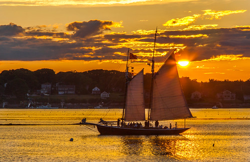
orrsisland harpswell maine sunset sundown dusk sail schooner alert
Red Sails In The Sunset
grammies
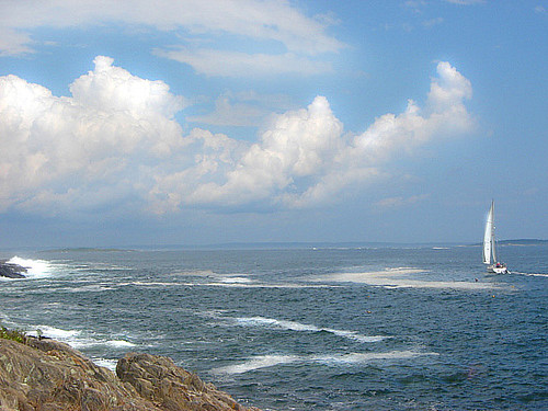
View from Lands End, Bailey Island, Maine 2009
ocean summer water boats island pier other dock nikon waterfront maine scenic newengland august atlantic shore touristy boating coastline yarmouth 50mmf18d cascobay d600 cousinsisland greaterportland
Docked at Cousins Island
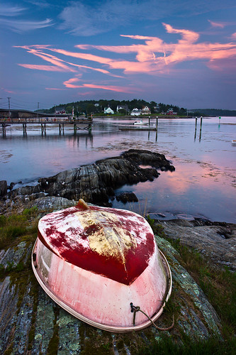
ocean summer seascape reflection me water clouds canon landscape islands coast boat twilight scenery view maine newengland rocky shore polarizer dinghy baileyisland harpswell orrsisland rebelt2i willsgut baileyislandmotel
Summer Nights on Bailey Island
harpswell maine fog orrsisland panorama
Foggy Day
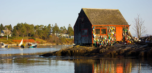
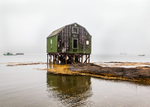
ocean morning travel vacation seascape reflection tourism me water landscape dawn coast fishing community scenery village maine scenic newengland places landmark tourist historic coastal lobster todo iconic lobsterboat authentic attraction 2012 baileyisland harpswell lobstering mackerelcove benjaminwilliamson
Lobster Shack
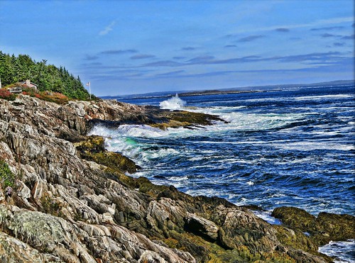
ocean canon maine landsend mainecoast baileyisland rockycoast g16 coastofmaine jackbyrneshill canong16
Rocky Coast of Maine
autostitch maine yarmouth royalriver panogristmillpark
Royal River, Yarmouth, Maine
ocean sunset coast twilight nikon maine scenic yarmouth hdr sunsetpoint d90 18105mm
Sunset Point-8457-Pano
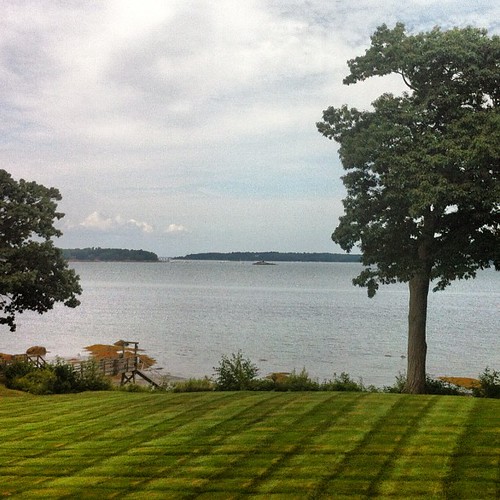
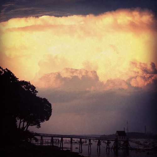
square squareformat iphoneography instagramapp uploaded:by=instagram foursquare:venue=4cc9c76cd063a143b03b10b4
Backyard view
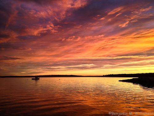
ocean camera sunset sky me nature water colors clouds landscape boat photo scenery phone view maine scenic newengland dramatic lobster iphone harpswell lookoutpoint
The Sweetest Thing
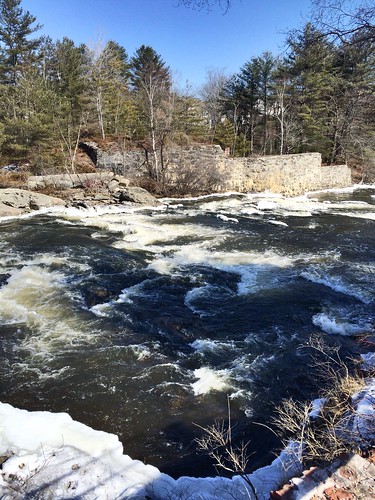
park royalriver river water yarmouth ice snow
Royal River
square squareformat sutro iphoneography instagramapp uploaded:by=instagram foursquare:venue=4c3553fb3ffc9521dd2191f5
Awesome view from the bar at Falmouth Sea Grill!
Main in Maine
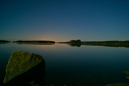
longexposure trees sky water rock stars island maine brunswick middlebay simpsonspoint 100pictures supermoon sonya230 13dark
Super Moonshine: #13
sea usa sign stairs america island surf waves view united maine trail bailey giants states harpswell
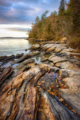
View from Giant's Stairs Trail
maine dirtyface hessmilingatme explored ilovethewoods wolfneckstatepark smallsquirrel blinkagain bestofblinkwinners happygreenbokeh
~I'm Nuts about You~
trees sky water island
First view of the Island
square squareformat lark iphoneography instagramapp uploaded:by=instagram
View towards Cristina Bridge from Harpswell.
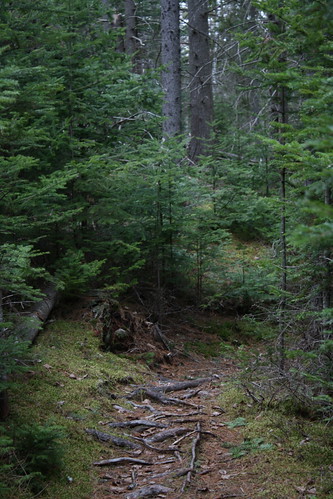
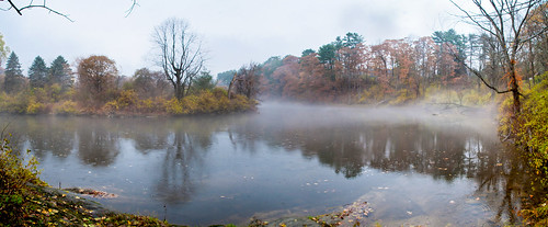
franka frankasolidaiii schneiderkreuznachradionar8029 foldingcamera germanfoldingcamera 120film 6x6 mediumformat squareformat fujireala100 film rangefinder uncoupledrangefinder vintagecamera analog manualfocus landscape harpswell maine autumn mist 6x6only jonathanbadamscom
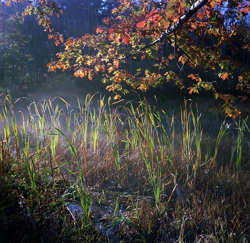
Misty autumn pond
ocean sunset sky house green water clouds island waves flag maine windy hdr baileyisland nikkor18200mmvr harspwell nikond7100 pwpartlycloudy nikond7100hdr
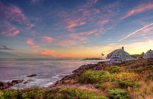
Bailey Island, Maine
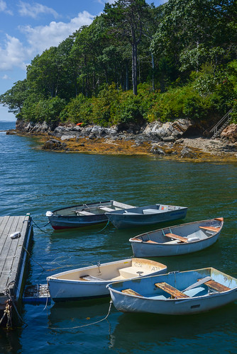
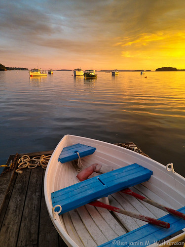
ocean camera light sunset summer sky seascape me clouds landscape boats harbor boat dock scenery phone maine scenic newengland lobster dinghy iphone harpswell lobstering lookoutpoint
Blue Seat Dinghy
cundysharbor harpswellmainefog
Fog In The Harbor
2014-08-28 19.10.05_edited-1
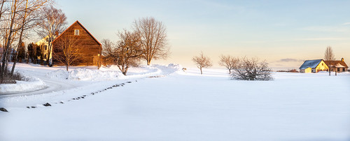
harpswell maine panorama winter snow dusk
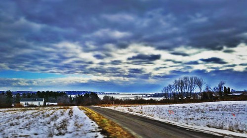
Winter Scene
road usa island unitedstates maine harpswell orrsisland gunpointcove
Gun Point Cove - Maine
maine geotagged geolat43721294 geolong69854593 hermitisland
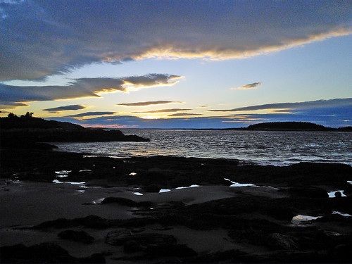
beach at sunset
Overlooking the Atlantic Ocean (phone HDR shot)
Giant's Stairs 7
DSC_0376.jpg
DSC_0354.jpg
DSC_0287.jpg
DSC_0388.jpg
DSC_0373.jpg
ocean statepark park morning seascape tourism me nature sunrise landscape outdoors photography coast photo scenery natural image hiking maine shoreline scenic newengland rocky landmark tourist gifts coastal shore prints destination coastline freeport tidal attraction wolfesneck wolfesneckwoods southernmaine benjaminwilliamson
Wolfe's Neck Woods
autumn tree fall me nature colors leaves clouds landscape maple scenery bokeh maine scenic newengland peaceful swing foliage dreamy daytime bedandbreakfast wistful fallenleaves middlebay pennellville
Summer Fades Away
Hamilton Sanctuary_2194
Hamilton Sanctuary "Steps"
ocean color beach landscape bay nikon maine wolfesneckwoodsstatepark nikond810 140240mmf28
Low Tide - Wolfe's Neck Woods State Park