Elevation of 75th St SE, Milnor, ND, USA
Location: United States > North Dakota > Ransom County >
Longitude: -97.44308
Latitude: 46.3258928
Elevation: 331m / 1086feet
Barometric Pressure: 97KPa
Elevation Map:
Satellite Map:
Related Photos:
De Lamere, North Dakota
De Lamere, North Dakota
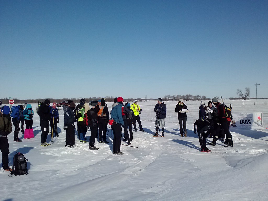
2013-03-16 10.01.42
2013-03-16 10.02.02
2013-03-16 09.59.42

2013-03-16 10.01.39
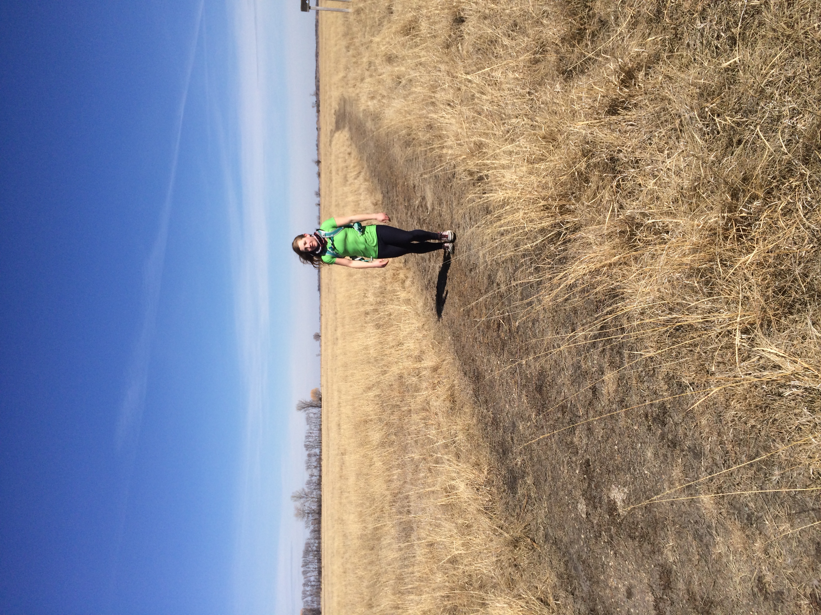
Rachel Utecht
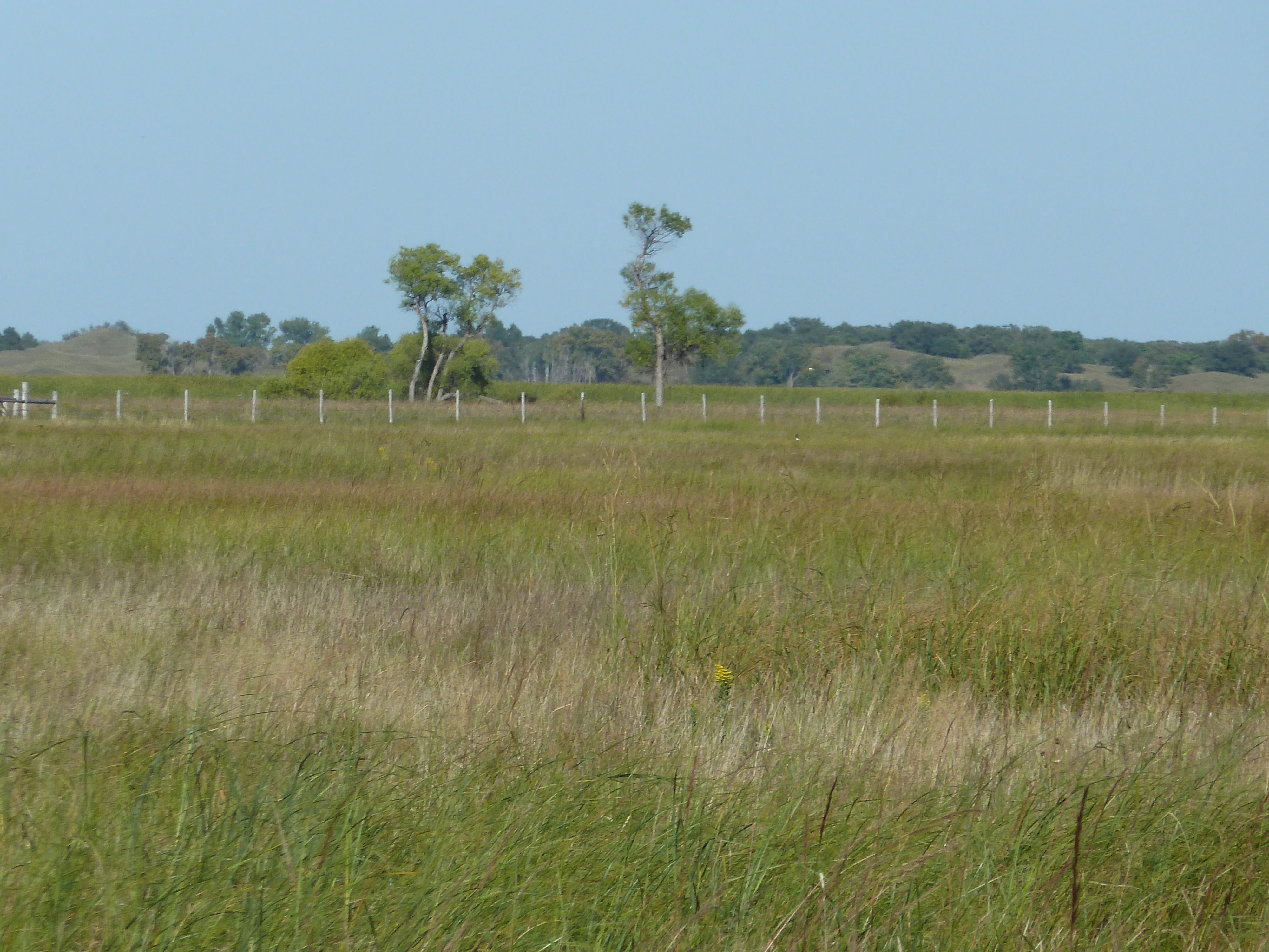
Sheyenne National Grasslands
Horse Pasture
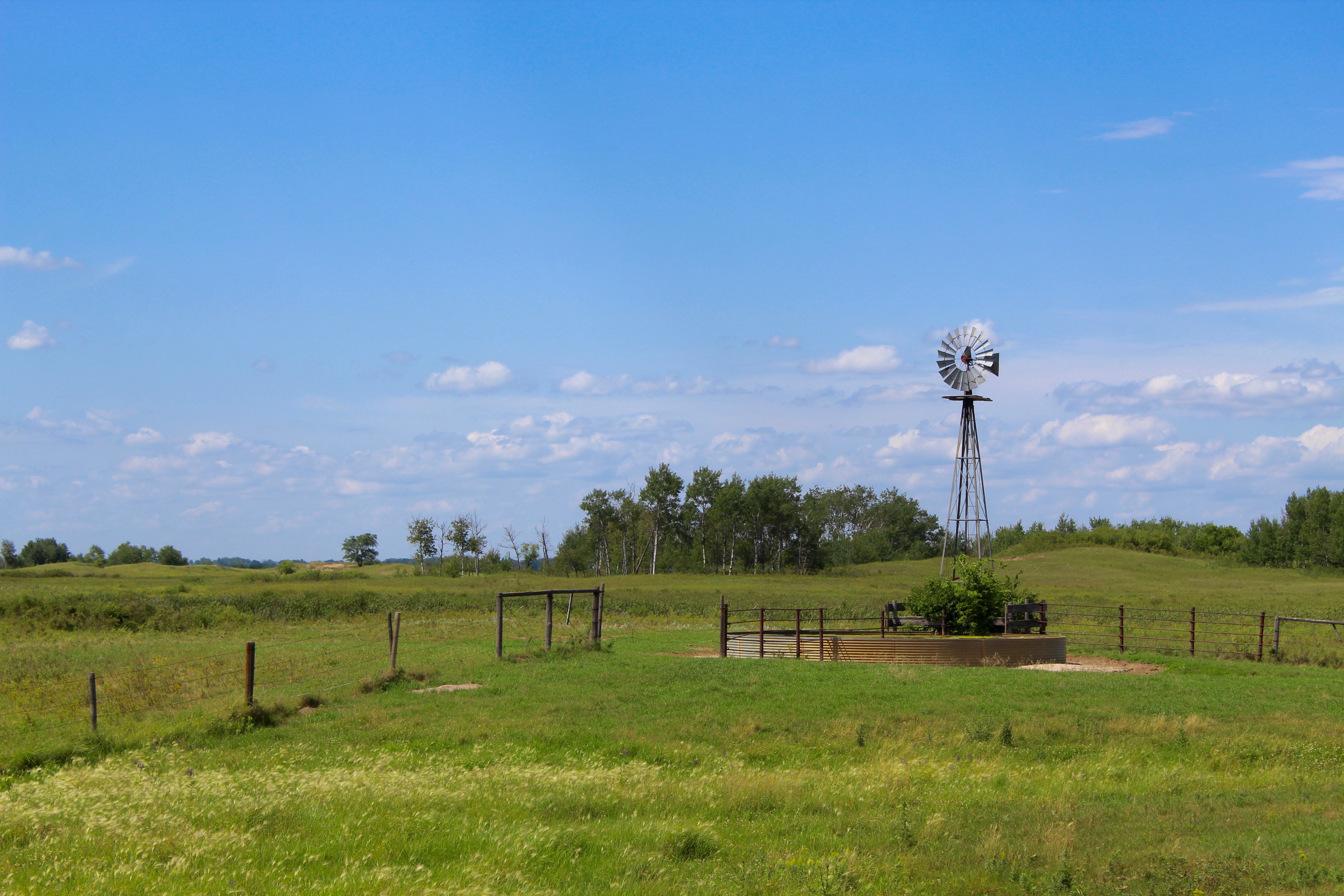
Lone Windmill
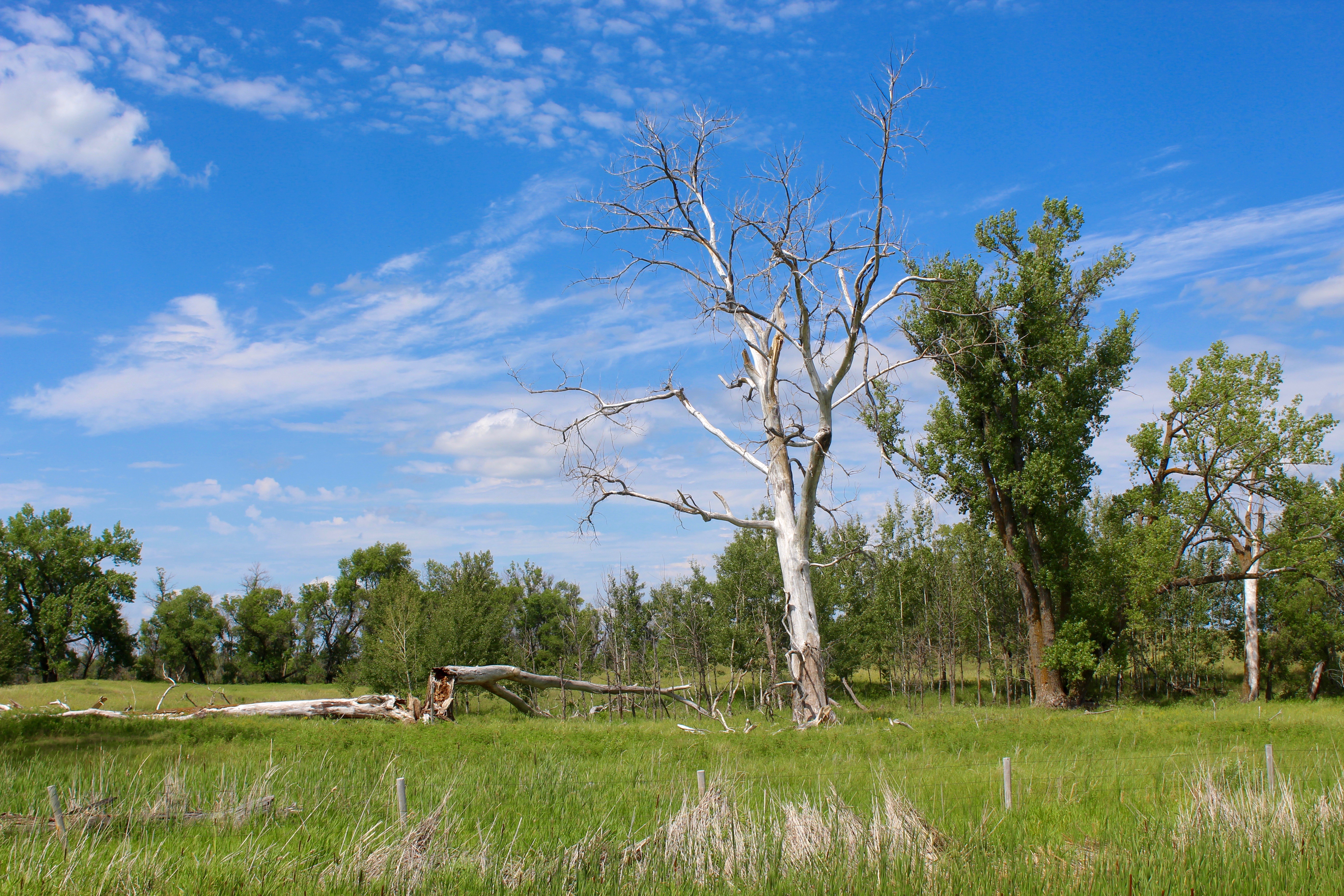
Dead Wood
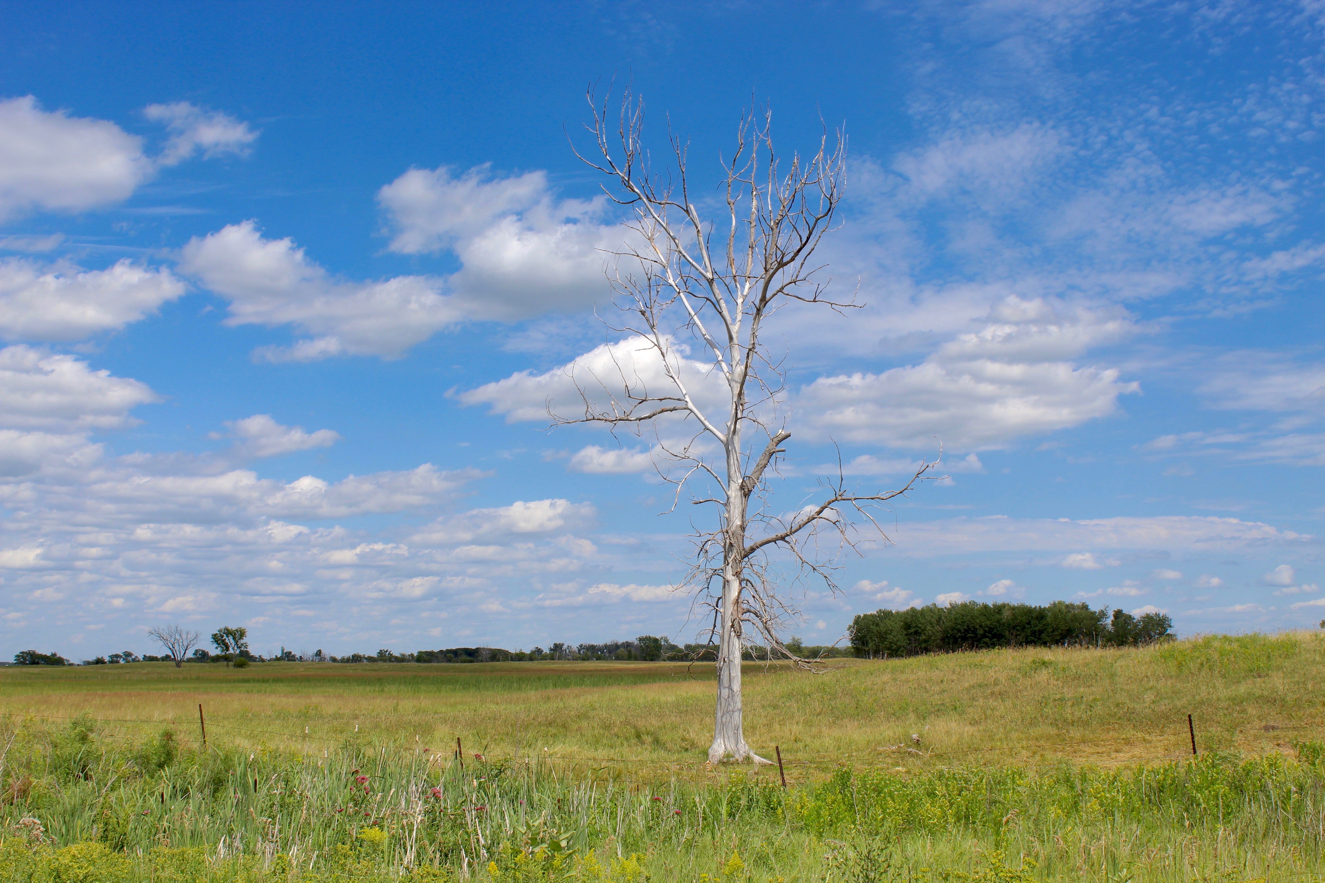
Ghost Tree
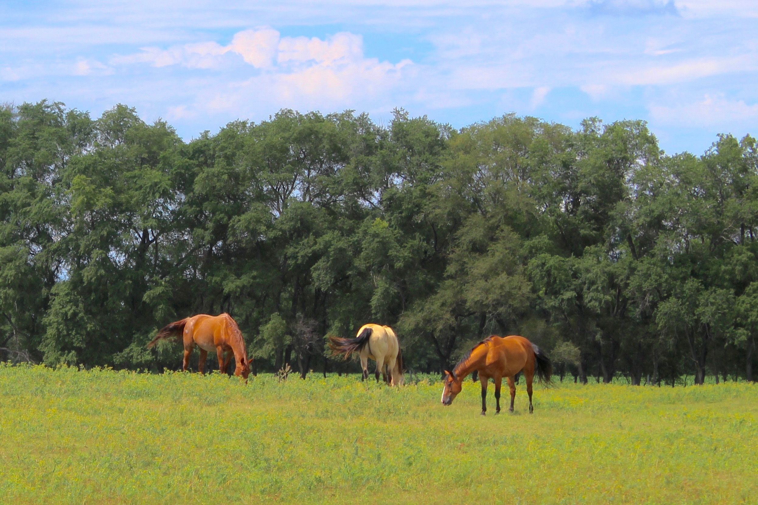
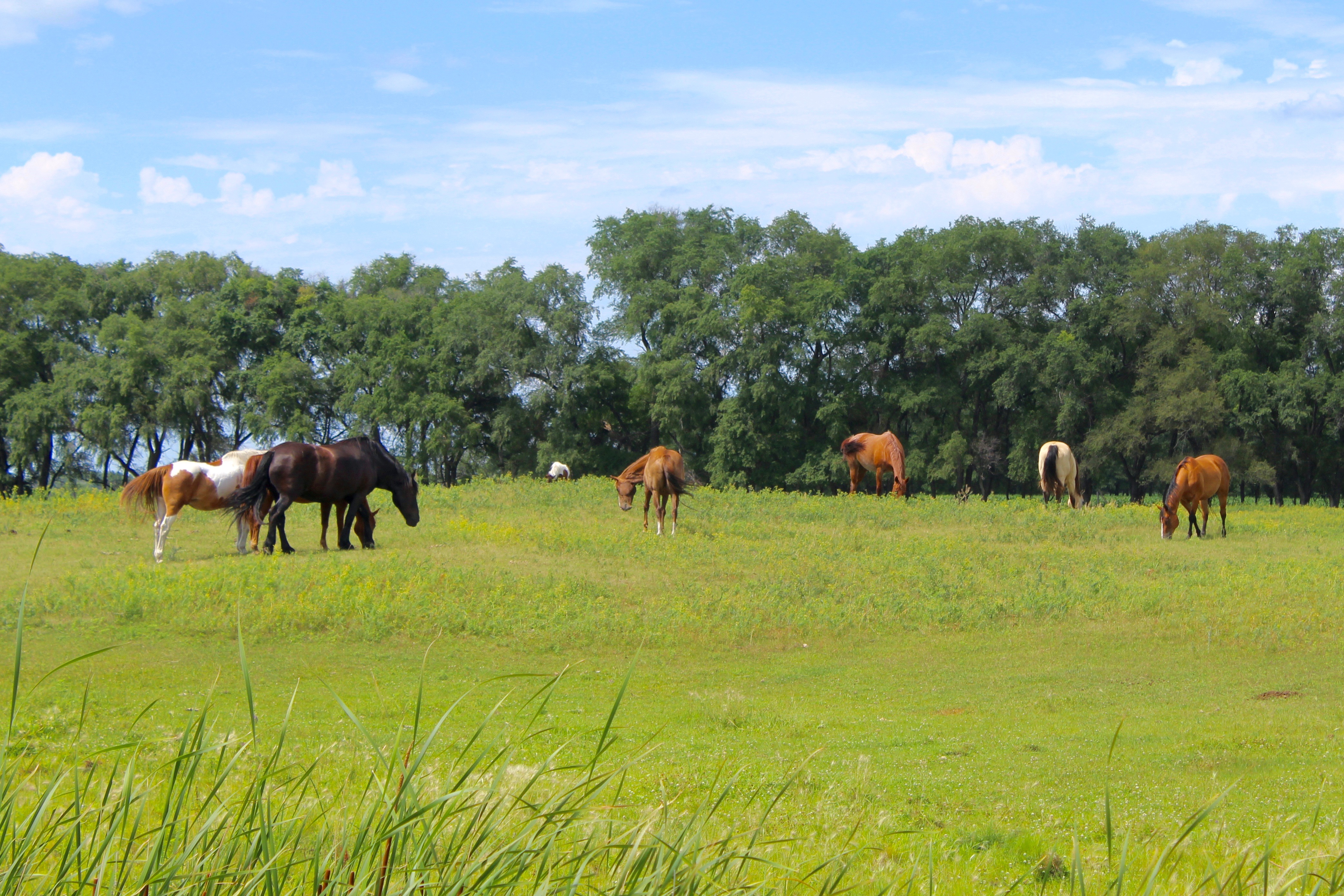
Grazing Horses
Topographic Map of 75th St SE, Milnor, ND, USA
Find elevation by address:

Places near 75th St SE, Milnor, ND, USA:
7552 131st Ave Se
Gwinner
Sargent County
9165 152nd Ave Se
Lidgerwood
201 4th Ave Se
2nd Ave, Havana, ND, USA
Havana
University Ave, Cogswell, ND, USA
Veblen
Veblen, SD, USA
Veblen
Main St, Sisseton, SD, USA
Claire City
Lake City
Britton
Marshall County
2nd Ave, Verona, ND, USA
Verona
11103 88th St Se
Recent Searches:
- Elevation of Corso Fratelli Cairoli, 35, Macerata MC, Italy
- Elevation of Tallevast Rd, Sarasota, FL, USA
- Elevation of 4th St E, Sonoma, CA, USA
- Elevation of Black Hollow Rd, Pennsdale, PA, USA
- Elevation of Oakland Ave, Williamsport, PA, USA
- Elevation of Pedrógão Grande, Portugal
- Elevation of Klee Dr, Martinsburg, WV, USA
- Elevation of Via Roma, Pieranica CR, Italy
- Elevation of Tavkvetili Mountain, Georgia
- Elevation of Hartfords Bluff Cir, Mt Pleasant, SC, USA