Elevation of Veblen, SD, USA
Location: United States > South Dakota > Marshall County > Veblen >
Longitude: -97.321536
Latitude: 45.8600868
Elevation: 413m / 1355feet
Barometric Pressure: 96KPa
Elevation Map:
Satellite Map:
Related Photos:
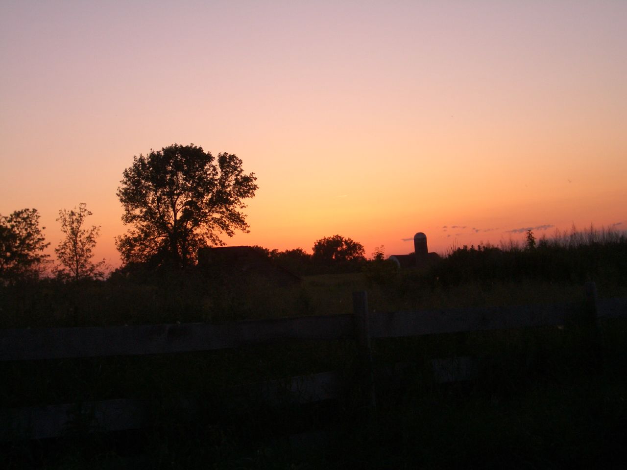
Farm at Sunset

Dusk in South Dakota

Tractor Run

Veblen, SD post office

Fall Fire

2013 10-03 Fall Fire II by Scott Shephard

Fall Fire

Furry Friend

Monark Bike 1957

Farm at Night

Farm at Sunset 3

Farm at Sunset 2

Engaged!

Welcome to South Dakota

Storm Break

Cloudy Road

Vrchota Farmstead at Sunset
Topographic Map of Veblen, SD, USA
Find elevation by address:

Places near Veblen, SD, USA:
Veblen
Veblen
Lake City
Claire City
Main St, Sisseton, SD, USA
Long Hollow Township
9165 152nd Ave Se
Lidgerwood
201 4th Ave Se
SD-10, Sisseton, SD, USA
Havana
2nd Ave, Havana, ND, USA
Marshall County
Sisseton
South Dakota 10
Roberts County
Sargent County
Britton
Waubay National Wildlife Refuge
University Ave, Cogswell, ND, USA
Recent Searches:
- Elevation of Corso Fratelli Cairoli, 35, Macerata MC, Italy
- Elevation of Tallevast Rd, Sarasota, FL, USA
- Elevation of 4th St E, Sonoma, CA, USA
- Elevation of Black Hollow Rd, Pennsdale, PA, USA
- Elevation of Oakland Ave, Williamsport, PA, USA
- Elevation of Pedrógão Grande, Portugal
- Elevation of Klee Dr, Martinsburg, WV, USA
- Elevation of Via Roma, Pieranica CR, Italy
- Elevation of Tavkvetili Mountain, Georgia
- Elevation of Hartfords Bluff Cir, Mt Pleasant, SC, USA