Elevation of Marshall County, SD, USA
Location: United States > South Dakota >
Longitude: -97.604623
Latitude: 45.7271214
Elevation: 563m / 1847feet
Barometric Pressure: 95KPa
Elevation Map:
Satellite Map:
Related Photos:
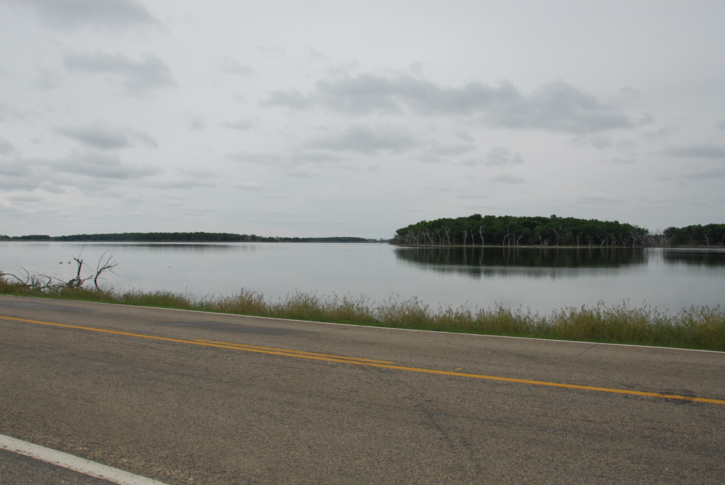
Road Through the Lake

IMG_5691[1]

IMG_5680[1]

IMG_5689[1]

IMG_5687[1]

IMG_5688[1]

IMG_5681[1]

IMG_5679[1]

IMG_5676[1]

IMG_5675[1]

IMG_5674[1]

IMG_5672[1]

IMG_5641[1]

IMG_5665[1]

IMG_5666[1]

IMG_5667[1]

IMG_5670[1]

IMG_5673[1]

IMG_5661[1]

IMG_5659[1]

IMG_5662[1]

IMG_5642[1]
Topographic Map of Marshall County, SD, USA
Find elevation by address:

Places in Marshall County, SD, USA:
Places near Marshall County, SD, USA:
Britton
Lake City
Hickman Township
Havana
2nd Ave, Havana, ND, USA
Langford
Veblen, SD, USA
University Ave, Cogswell, ND, USA
Day County
Veblen
Veblen
Sargent County
Webster
Waubay National Wildlife Refuge
5th Ave, Claremont, SD, USA
144th Street
Long Hollow Township
Waubay
SD-10, Sisseton, SD, USA
Gwinner
Recent Searches:
- Elevation of Corso Fratelli Cairoli, 35, Macerata MC, Italy
- Elevation of Tallevast Rd, Sarasota, FL, USA
- Elevation of 4th St E, Sonoma, CA, USA
- Elevation of Black Hollow Rd, Pennsdale, PA, USA
- Elevation of Oakland Ave, Williamsport, PA, USA
- Elevation of Pedrógão Grande, Portugal
- Elevation of Klee Dr, Martinsburg, WV, USA
- Elevation of Via Roma, Pieranica CR, Italy
- Elevation of Tavkvetili Mountain, Georgia
- Elevation of Hartfords Bluff Cir, Mt Pleasant, SC, USA